Massachusetts
Mount Greylock
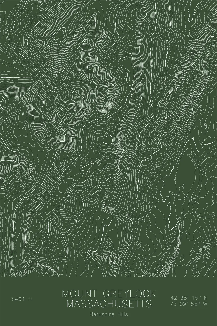
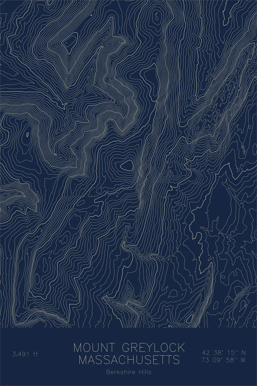
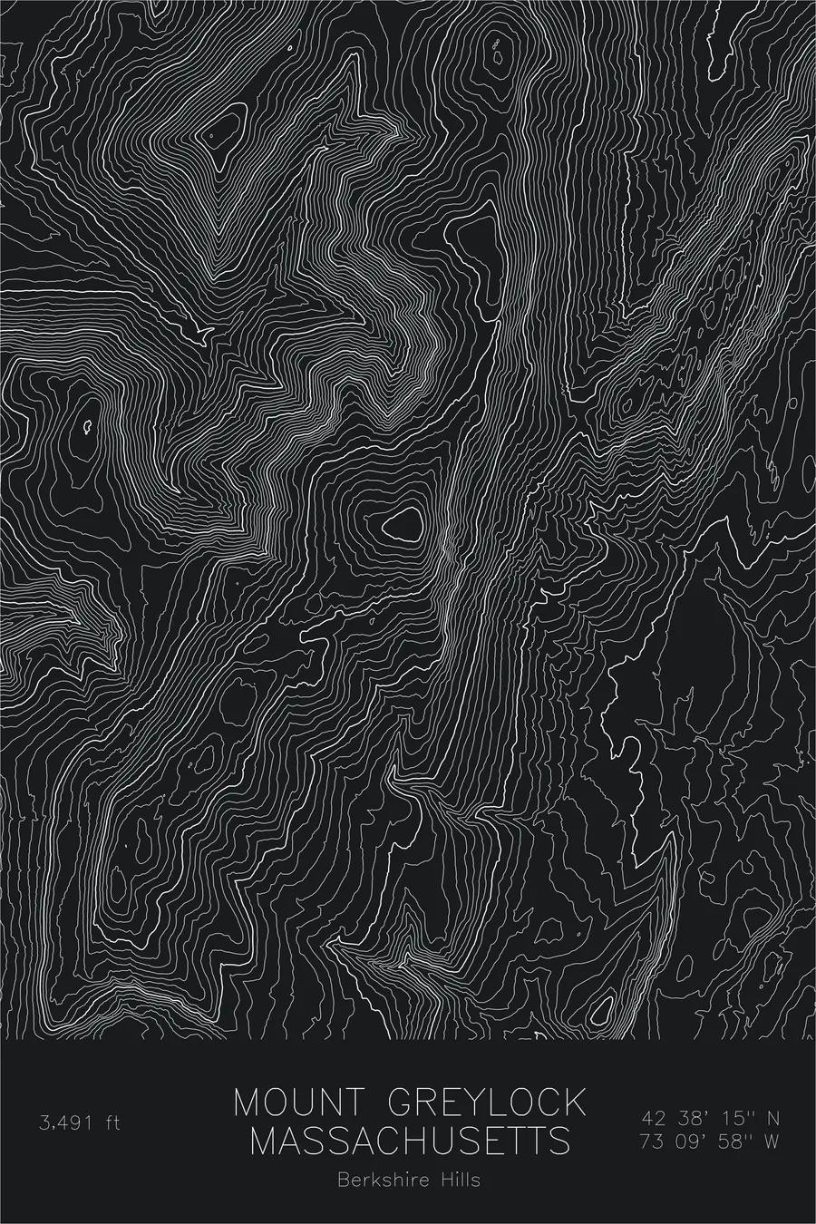
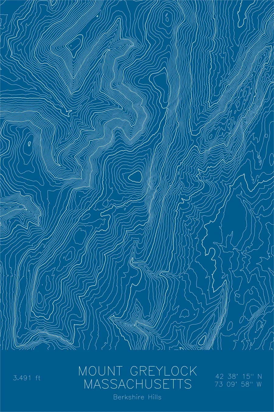
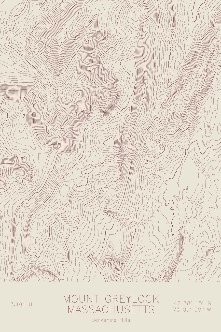
A pen-plotted topographic map of Mount Greylock in the Berkshire Hills, Massachusetts, drawn from real elevation contour data.
Highest peak in Massachusetts, AT summit. 3,491 feet above sea level.
$54
Ink & paper: Green
Size: 12×18"
+Personalize this map
+ Details
- 12 × 18 inches
- Drawn on 98 lb (160 gsm) archival cotton paper
- Precision technical pens and archival inks
- Signed and dated on the back
- Ships flat, protected, ready to frame
Each map begins with elevation data and is drawn by a pen plotter in our Vermont studio. Mechanical precision, plus the texture and small imperfections of real ink on paper.
Off the screen
In real rooms



















+ About this map
Mount Greylock rises 3,491 feet above the Berkshire towns of northwestern Massachusetts, the highest point in the state. The Appalachian Trail crosses its summit, where the Veterans War Memorial Tower has stood since the 1930s, and on a clear day the view reaches into several states. The mountain casts a long literary shadow: Herman Melville wrote Moby-Dick within sight of it, and Thoreau climbed it and spent a night on the top.
This map shows a mountain shaped by ice. The contour lines trace the Hopper, the deep glacial cirque cut into the western flank, whose funnel shape gave it its name. The main ridgeline runs north from the summit toward Mount Fitch and Mount Williams, and the wide spacing of the lines across the upper mountain records the gentle, rounded profile that lets a road and the Trail share the summit.
+ Map details
- Mount Greylock
- Massachusetts
- United States
- Berkshire Hills
- New England
- 3,491 ft / 1,064 m
- 42.6376N 73.1662W
- Mountain topographic map
- Original pen plot, archival ink on cotton paper
- 8 × 12 in · 12 × 18 in · 18 × 24 in
- Highest peak in Massachusetts, AT summit
More maps