Colorado
Mount of the Holy Cross
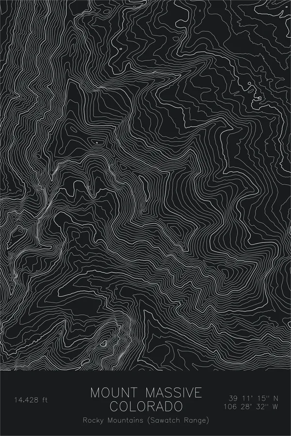
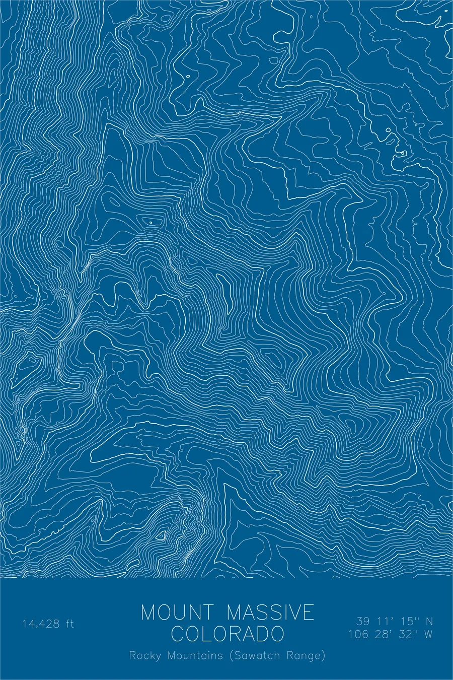
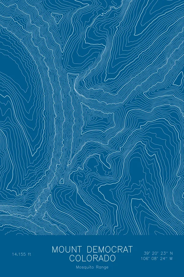
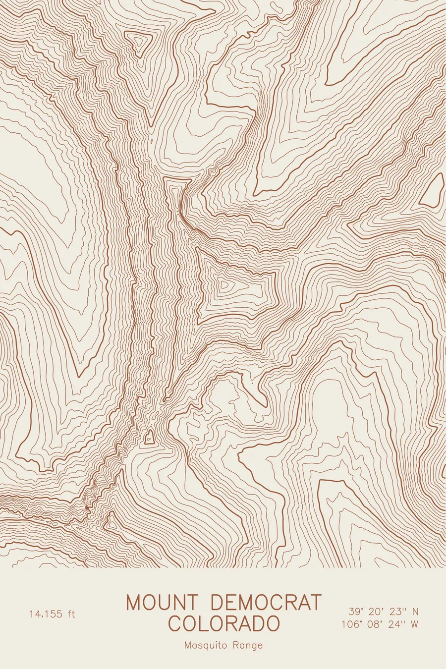
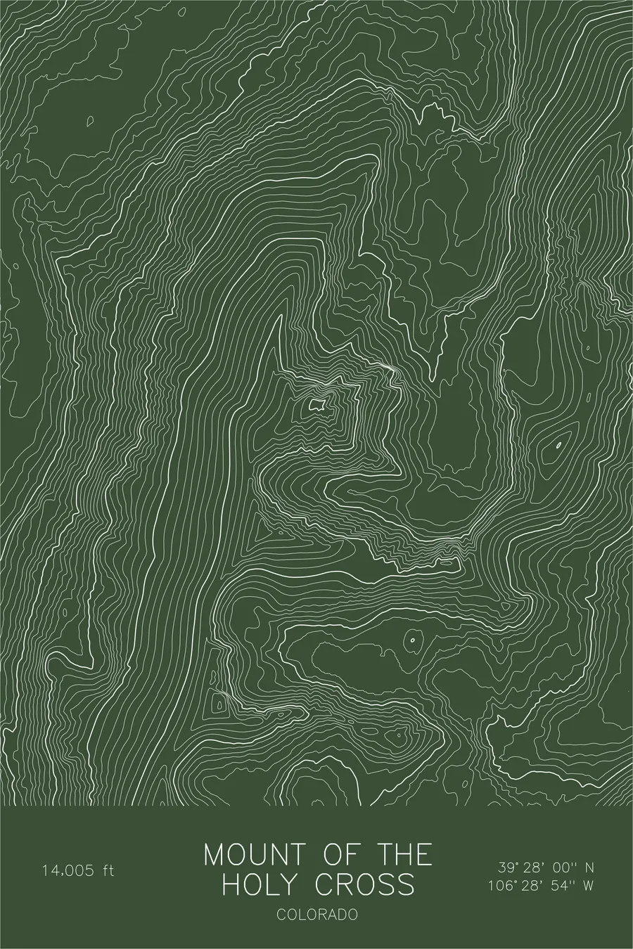
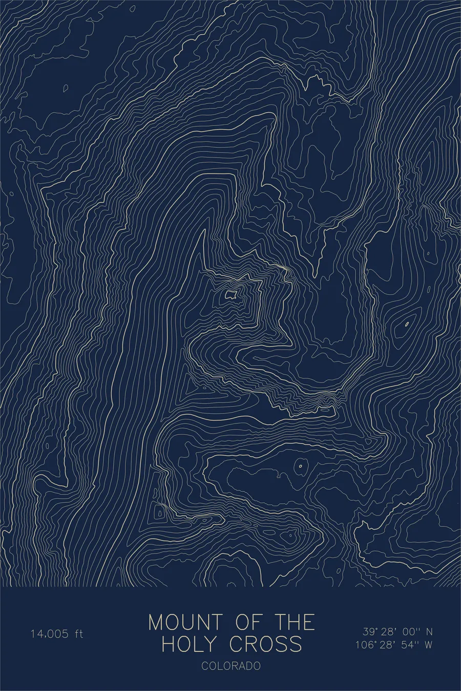
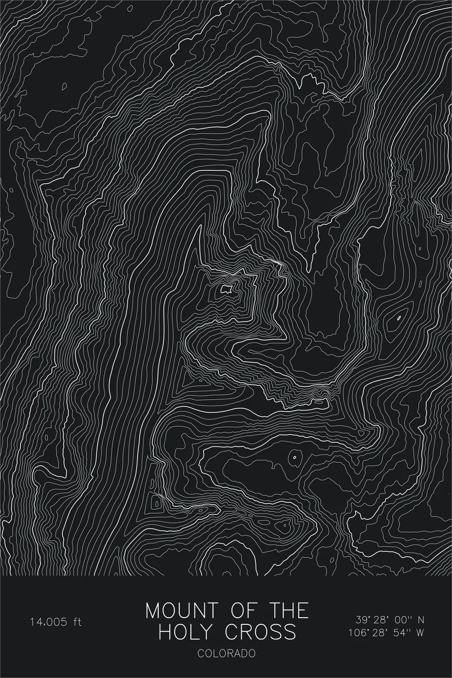
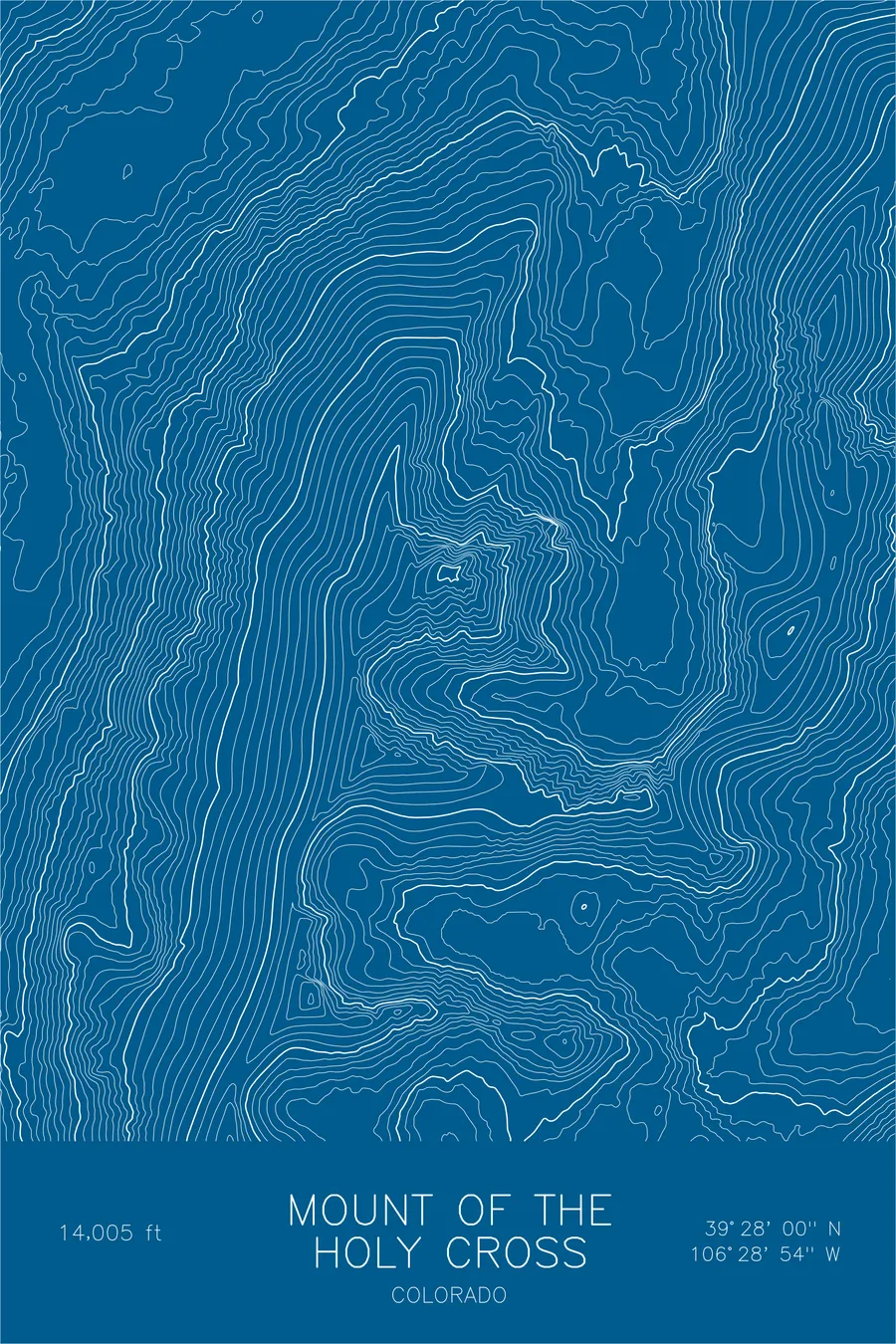
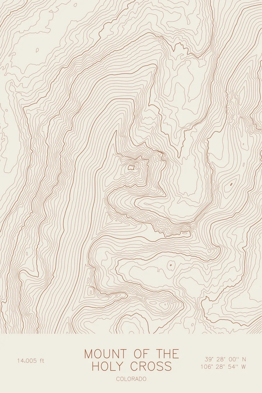
A pen-plotted topographic map of Mount of the Holy Cross in the Sawatch Range, Colorado, drawn from real elevation contour data.
Famous cross-shaped snow couloir, iconic Colorado peak. 14,005 feet above sea level.
$54
Ink & paper: Black
Size: 12×18"
+Personalize this map
+ Details
- 12 × 18 inches
- Drawn on 98 lb (160 gsm) archival cotton paper
- Precision technical pens and archival inks
- Signed and dated on the back
- Ships flat, protected, ready to frame
Each map begins with elevation data and is drawn by a pen plotter in our Vermont studio. Mechanical precision, plus the texture and small imperfections of real ink on paper.
Off the screen
In real rooms



















+ About this map
Mount of the Holy Cross rises 14,005 feet in Colorado’s Sawatch Range, a fourteener famous for the shape on its northeast face: intersecting snow-filled couloirs that form a white cross more than a thousand feet tall each spring. William Henry Jackson’s 1873 photograph of the cross became one of the most reproduced images of the American West, and for two decades in the twentieth century the mountain was protected as a national monument.
This map traces the architecture behind the image. The contour lines show the northeast face falling in tight bands toward the Bowl of Tears, the small lake cupped in the cirque directly beneath the cross. Halo Ridge curves around that basin in a long arc, carrying the alternate route to the summit, and the deep valley of Cross Creek separates the massif from the rest of the range.
+ Map details
- Mount of the Holy Cross
- Colorado
- United States
- Rocky Mountains (Sawatch Range)
- Rocky Mountains
- 14,005 ft / 4,269 m
- 39.4668N 106.4817W
- Mountain topographic map
- Original pen plot, archival ink on cotton paper
- 8 × 12 in · 12 × 18 in · 18 × 24 in
- Famous cross-shaped snow couloir, iconic Colorado peak
More maps