Oregon
Mount Hood Meadows
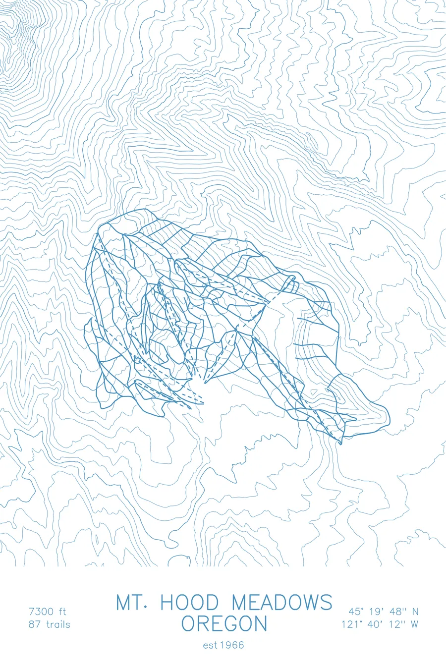
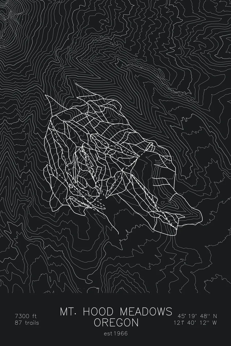
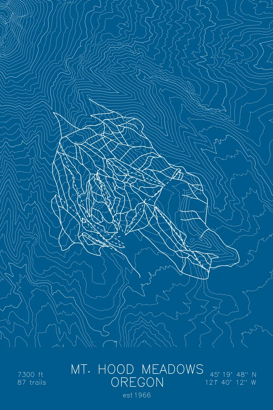
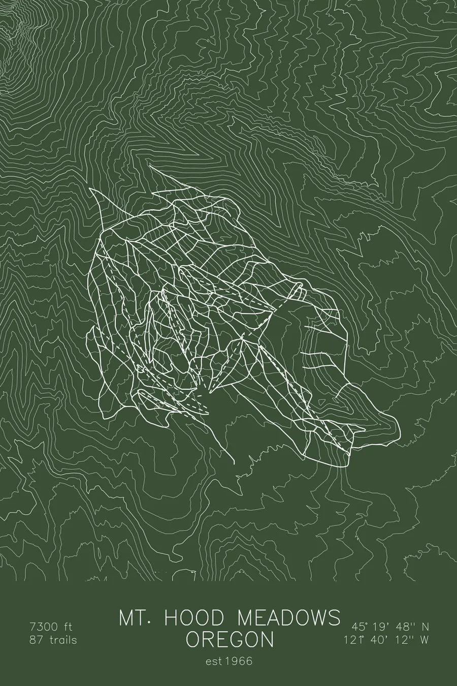
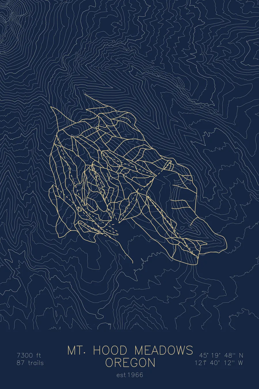
A topographic ski map of Mount Hood Meadows, Oregon, with the resort's runs and lifts drawn over real terrain in a minimalist contour-line design.
Est. 1966. 87 trails. 7,300 feet above sea level.
$63
Ink & paper: Arctic White
Size: 12×18"
+Personalize this map
+ Details
- 12 × 18 inches
- Drawn on 98 lb (160 gsm) archival cotton paper
- Precision technical pens and archival inks
- Signed and dated on the back
- Ships flat, protected, ready to frame
Each map begins with elevation data and is drawn by a pen plotter in our Vermont studio. Mechanical precision, plus the texture and small imperfections of real ink on paper.
Off the screen
In real rooms



















+ About this map
Mount Hood Meadows spreads across the southeastern flank of Mount Hood, the volcano that dominates Oregon’s skyline. Opened in 1966, it is the largest of the mountain’s ski areas, with 87 trails reaching 7,300 feet on the open upper slopes.
Its signature terrain is Heather Canyon, a long glacial drainage of steep walls, chutes, and natural gullies that fills in with heavy Cascade snowfall. Above the lifts, the volcano keeps climbing toward its 11,000-foot summit; below, the trails fan out through ridges and ravines carved by ice and water. The contour lines on this map radiate down the flank of the volcano, tracing that carved terrain.
+ Map details
- Mount Hood Meadows
- Oregon
- United States
- Pacific Northwest
- 7,300 ft / 2,225 m
- 45.3300N 121.6700W
- Ski resort trail map
- Original pen plot, archival ink on cotton paper
- 8 × 12 in · 12 × 18 in · 18 × 24 in
- Est. 1966. 87 trails
More maps