New Hampshire
Mount Jefferson
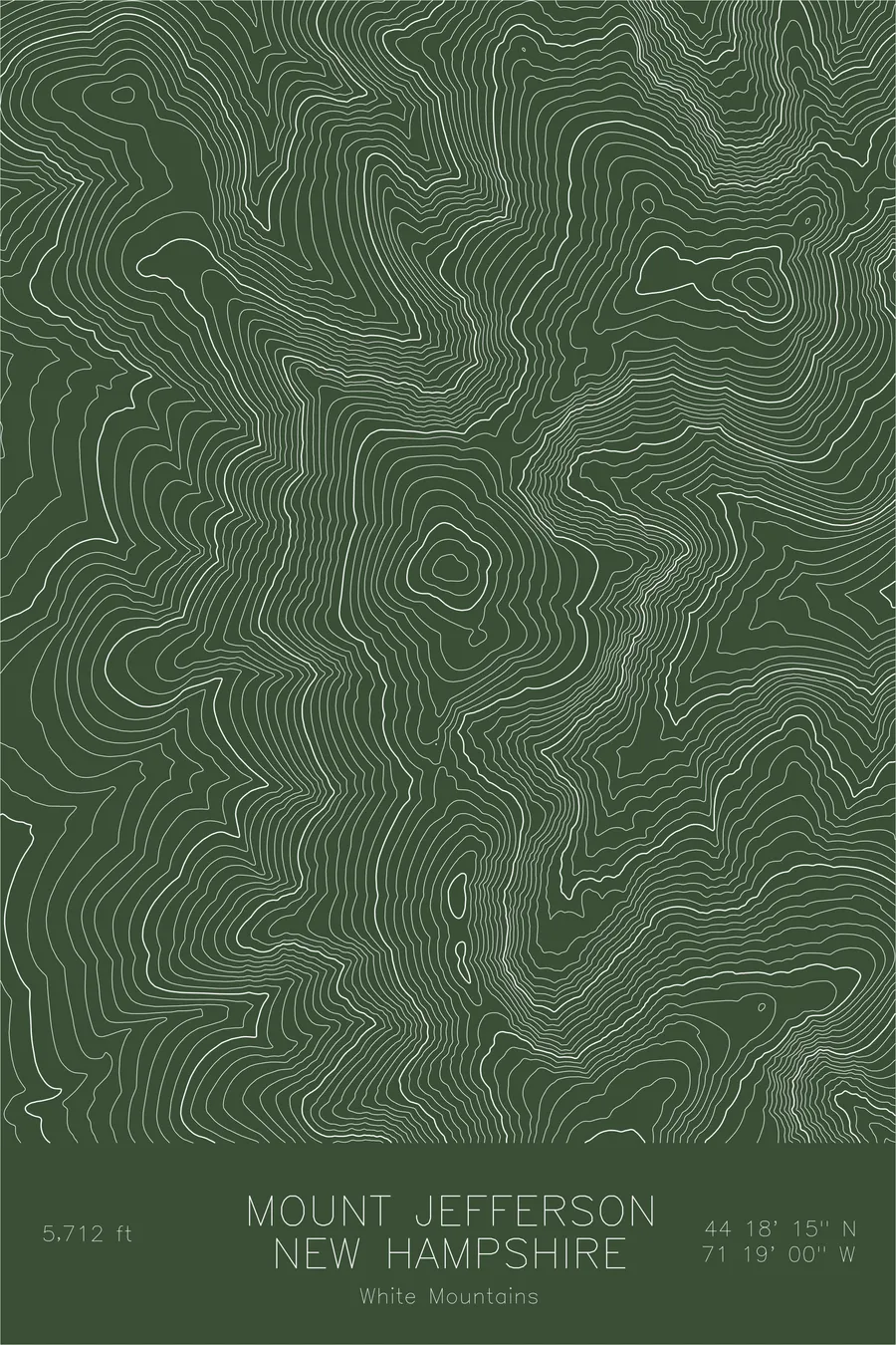
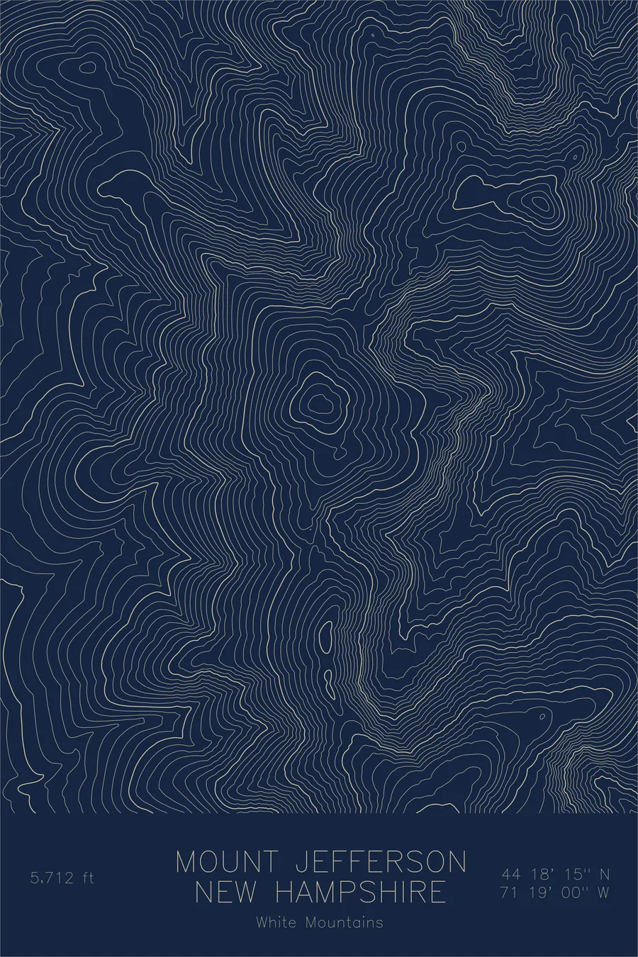
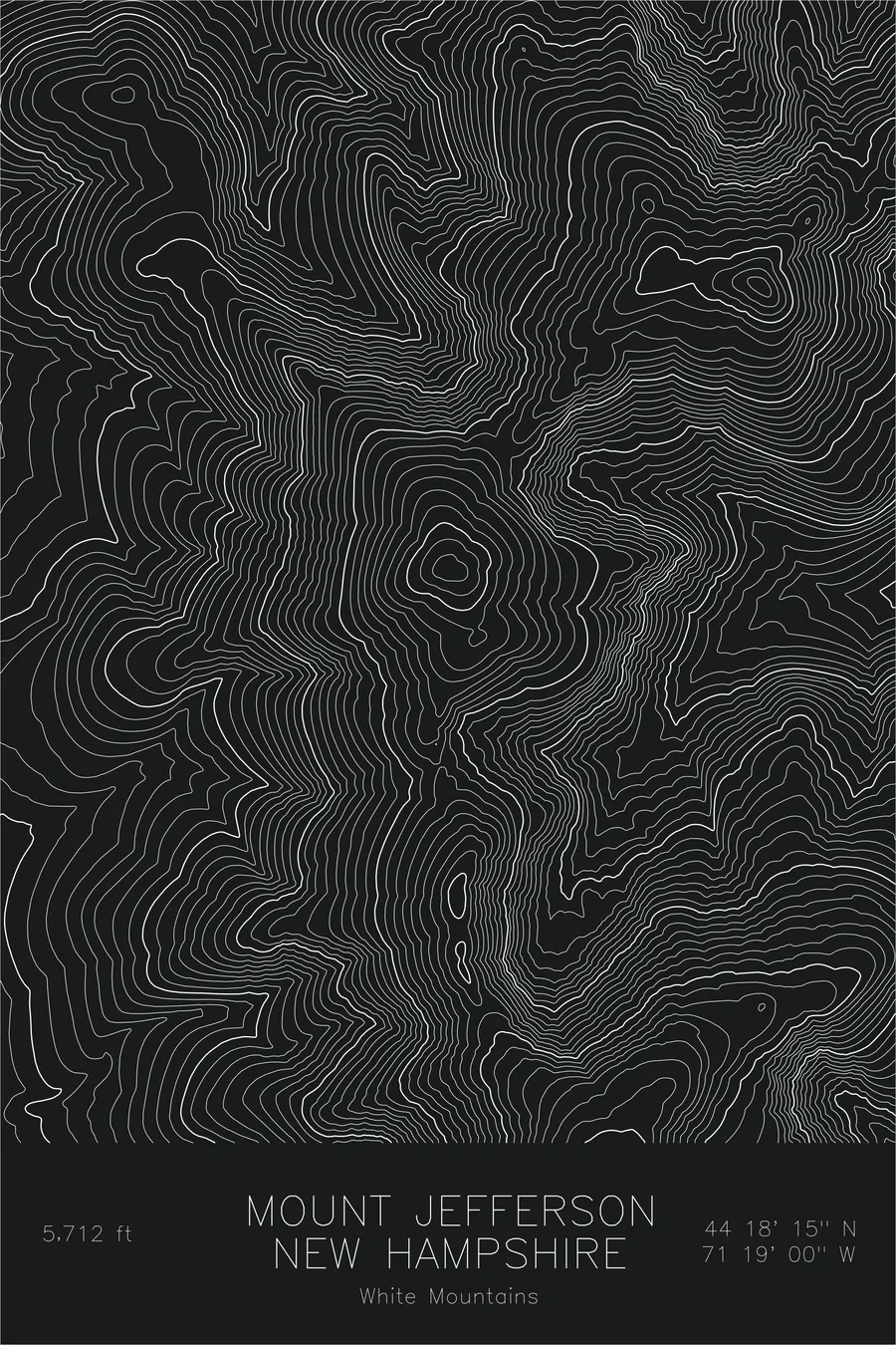
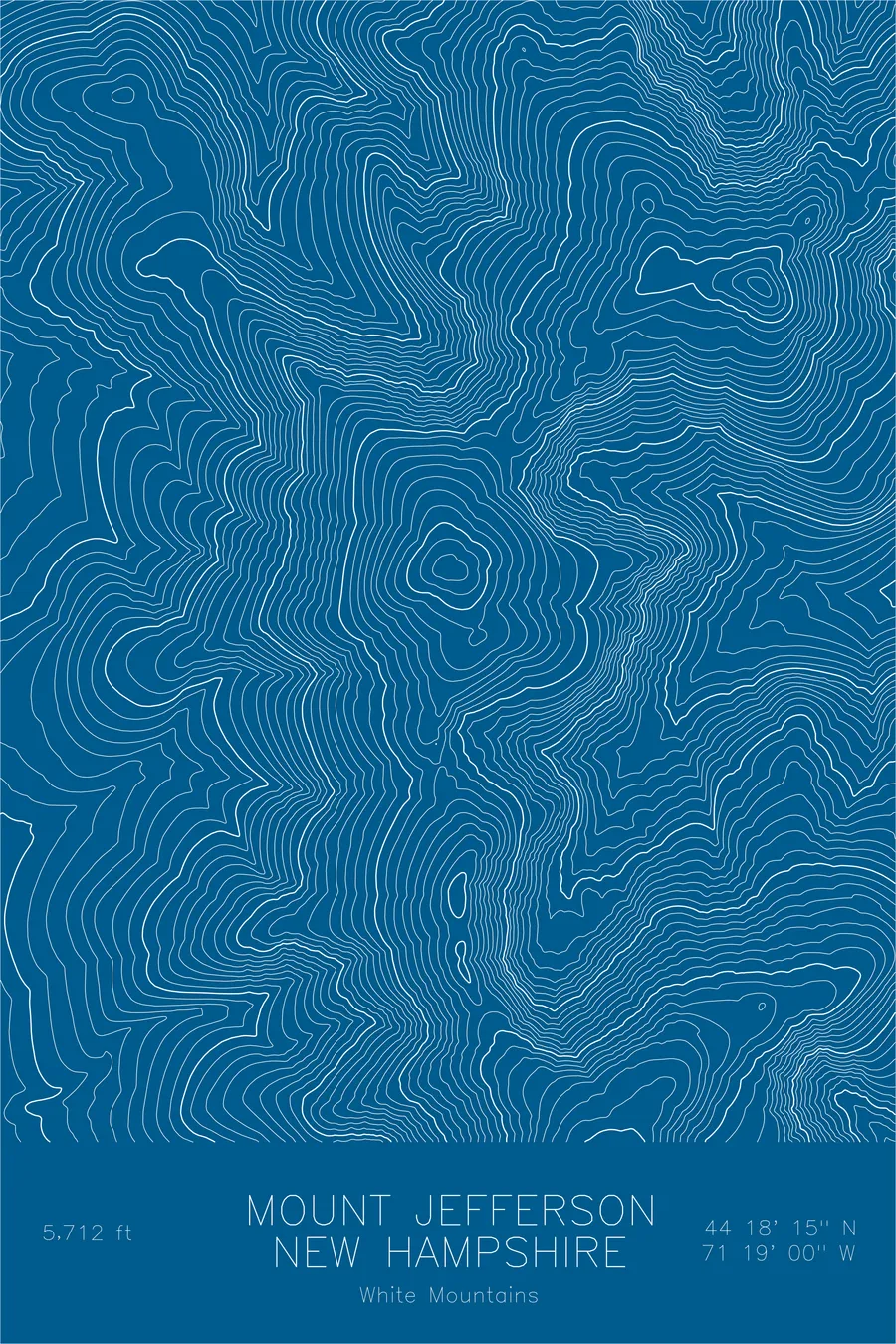
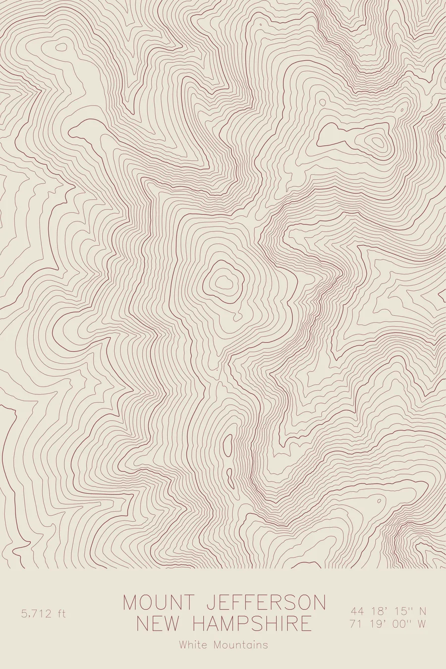
A pen-plotted topographic map of Mount Jefferson in the White Mountains, New Hampshire, drawn from real elevation contour data.
Third highest in New England, Presidential Range. 5,712 feet above sea level.
$54
Ink & paper: Green
Size: 12×18"
+Personalize this map
+ Details
- 12 × 18 inches
- Drawn on 98 lb (160 gsm) archival cotton paper
- Precision technical pens and archival inks
- Signed and dated on the back
- Ships flat, protected, ready to frame
Each map begins with elevation data and is drawn by a pen plotter in our Vermont studio. Mechanical precision, plus the texture and small imperfections of real ink on paper.
Off the screen
In real rooms



















+ About this map
Mount Jefferson rises 5,712 feet in New Hampshire’s Presidential Range, the third highest summit in New England. Like its neighbors it stands well above treeline, a bare crown of frost-shattered rock exposed to some of the worst weather in the Northeast. Near the summit sits Monticello Lawn, a gently sloping alpine plateau whose name, like the mountain’s, honors Thomas Jefferson.
This map shows a summit attacked by ice from several sides. The contour lines trace the Castellated Ridge running northwest, where the rock towers called the Castles pinch the lines into sharp knots, and the neighboring Ridge of the Caps, whose trail begins at the highest trailhead in the White Mountains. To the southeast the lines plunge into the Great Gulf, the largest cirque in the range, while Castle Ravine and Jefferson Ravine bite into the remaining flanks.
+ Map details
- Mount Jefferson
- New Hampshire
- United States
- White Mountains
- New England
- 5,712 ft / 1,741 m
- 44.3042N 71.3167W
- Mountain topographic map
- Original pen plot, archival ink on cotton paper
- 8 × 12 in · 12 × 18 in · 18 × 24 in
- Third highest in New England, Presidential Range
More maps