Vermont
Killington Peak
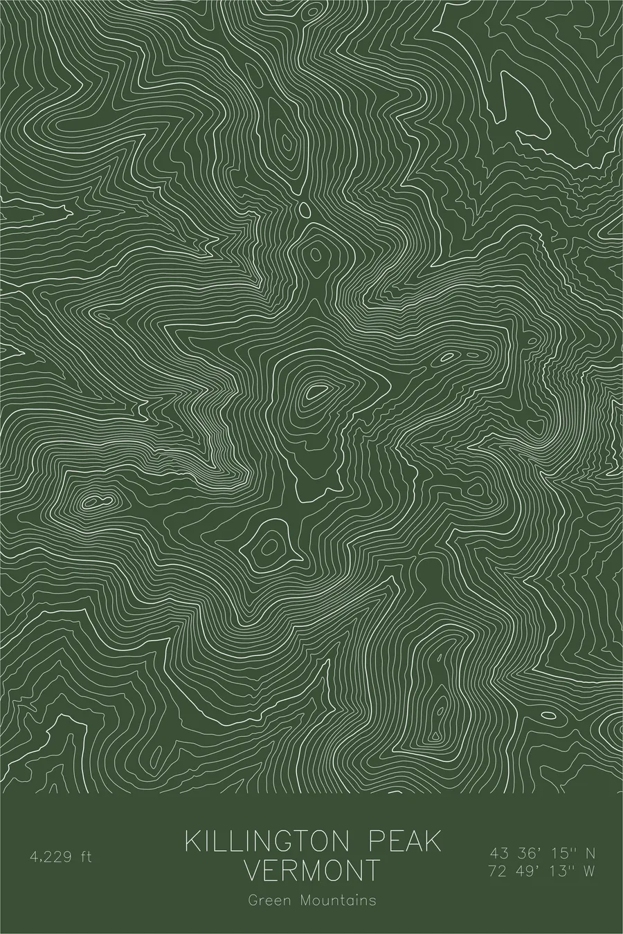
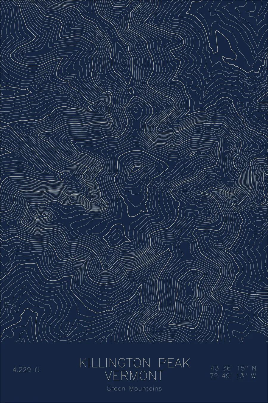
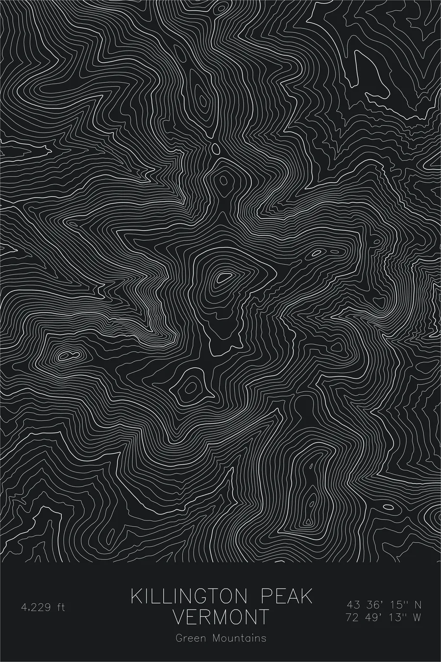
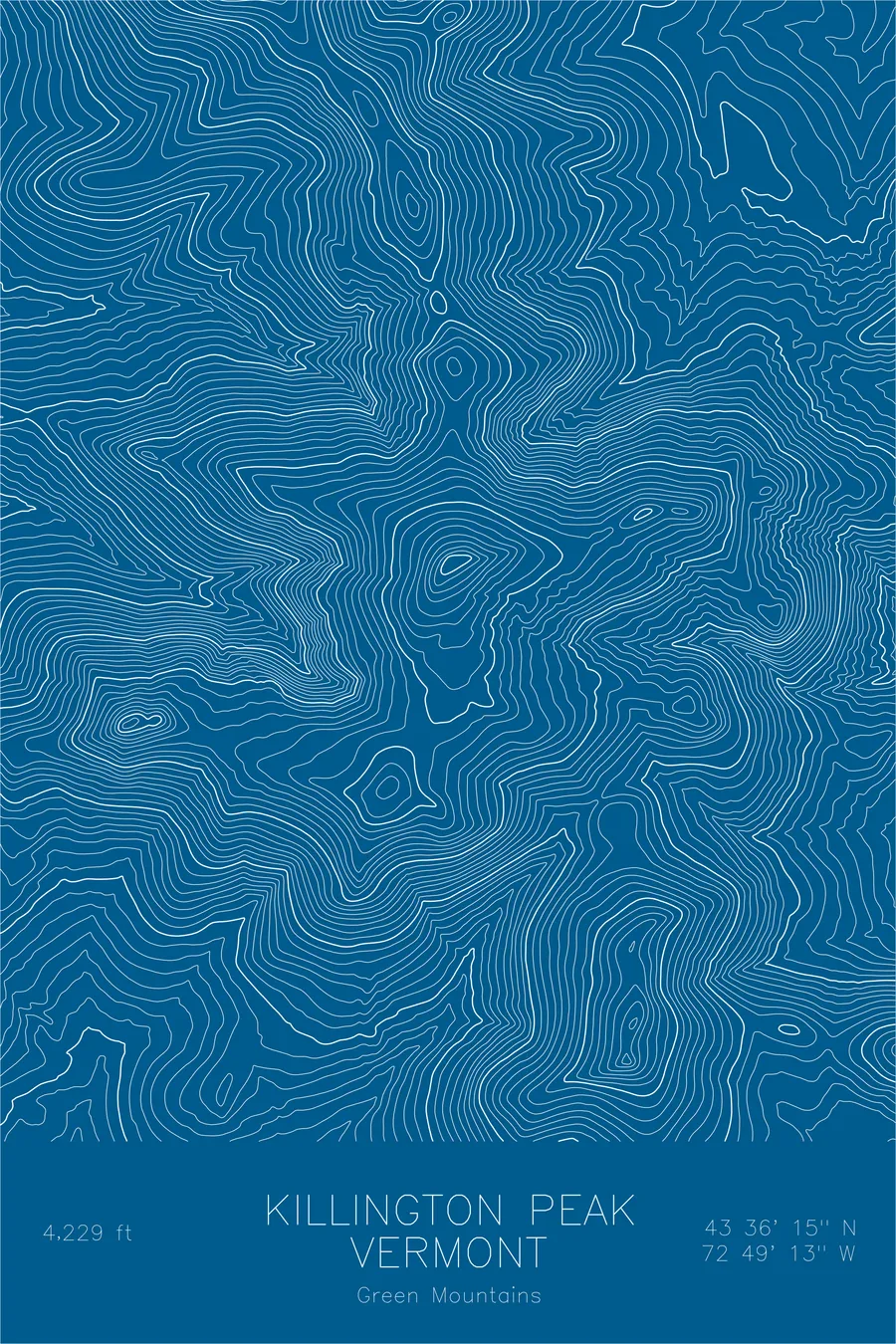
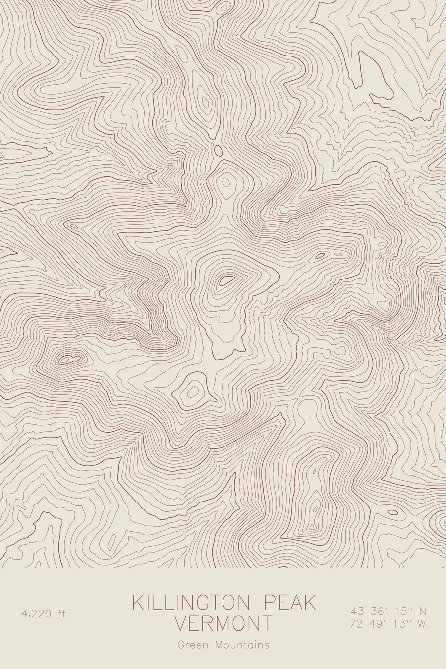
A pen-plotted topographic map of Killington Peak in the Green Mountains, Vermont, drawn from real elevation contour data.
Second highest peak in Vermont, major ski resort. 4,229 feet above sea level.
$54
Ink & paper: Green
Size: 12×18"
+Personalize this map
+ Details
- 12 × 18 inches
- Drawn on 98 lb (160 gsm) archival cotton paper
- Precision technical pens and archival inks
- Signed and dated on the back
- Ships flat, protected, ready to frame
Each map begins with elevation data and is drawn by a pen plotter in our Vermont studio. Mechanical precision, plus the texture and small imperfections of real ink on paper.
Off the screen
In real rooms



















+ About this map
Killington Peak rises 4,229 feet in the Green Mountains of central Vermont, the second highest summit in the state. The Appalachian Trail and Vermont’s Long Trail climb over its shoulder together, parting ways just to the north after sharing roughly a hundred miles of ridgeline. By one legend, Vermont itself was named from this summit, when an eighteenth-century preacher looked out over the unbroken green hills and called them Verd Mont.
This map traces the spine of the Green Mountains as it passes through the peak. The contour lines run in long north-south grains, with Killington’s rounded cone rising from the ridge and Pico Peak standing close by to the north. The eastern slopes fall away in the tight, even bands that carry ski trails in winter, while the western side steps down more gradually toward the broad valley of Otter Creek.
+ Map details
- Killington Peak
- Vermont
- United States
- Green Mountains
- New England
- 4,229 ft / 1,291 m
- 43.6042N 72.8203W
- Mountain topographic map
- Original pen plot, archival ink on cotton paper
- 8 × 12 in · 12 × 18 in · 18 × 24 in
- Second highest peak in Vermont, major ski resort
More maps