Vermont
Mount Mansfield
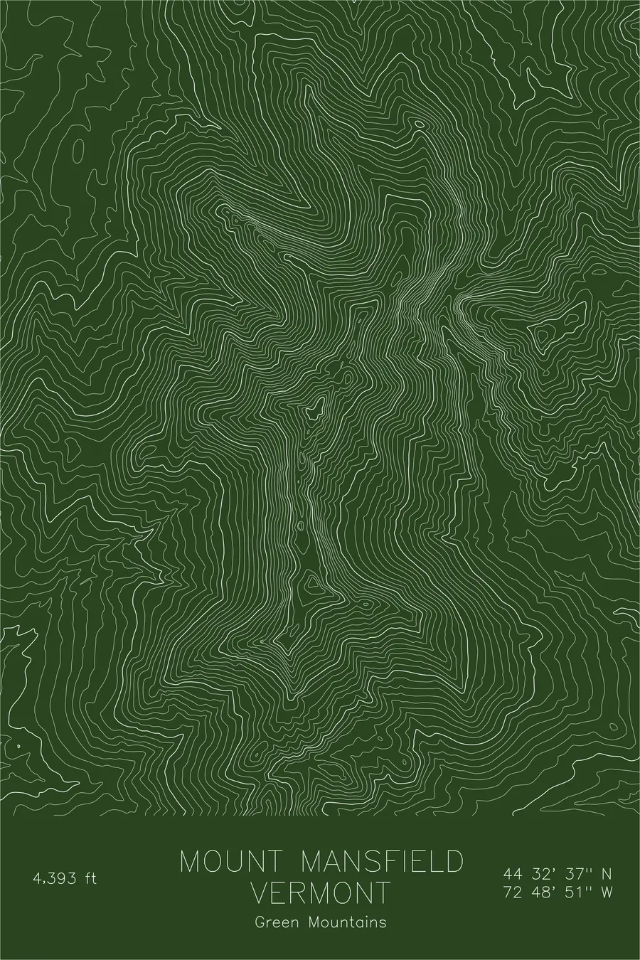
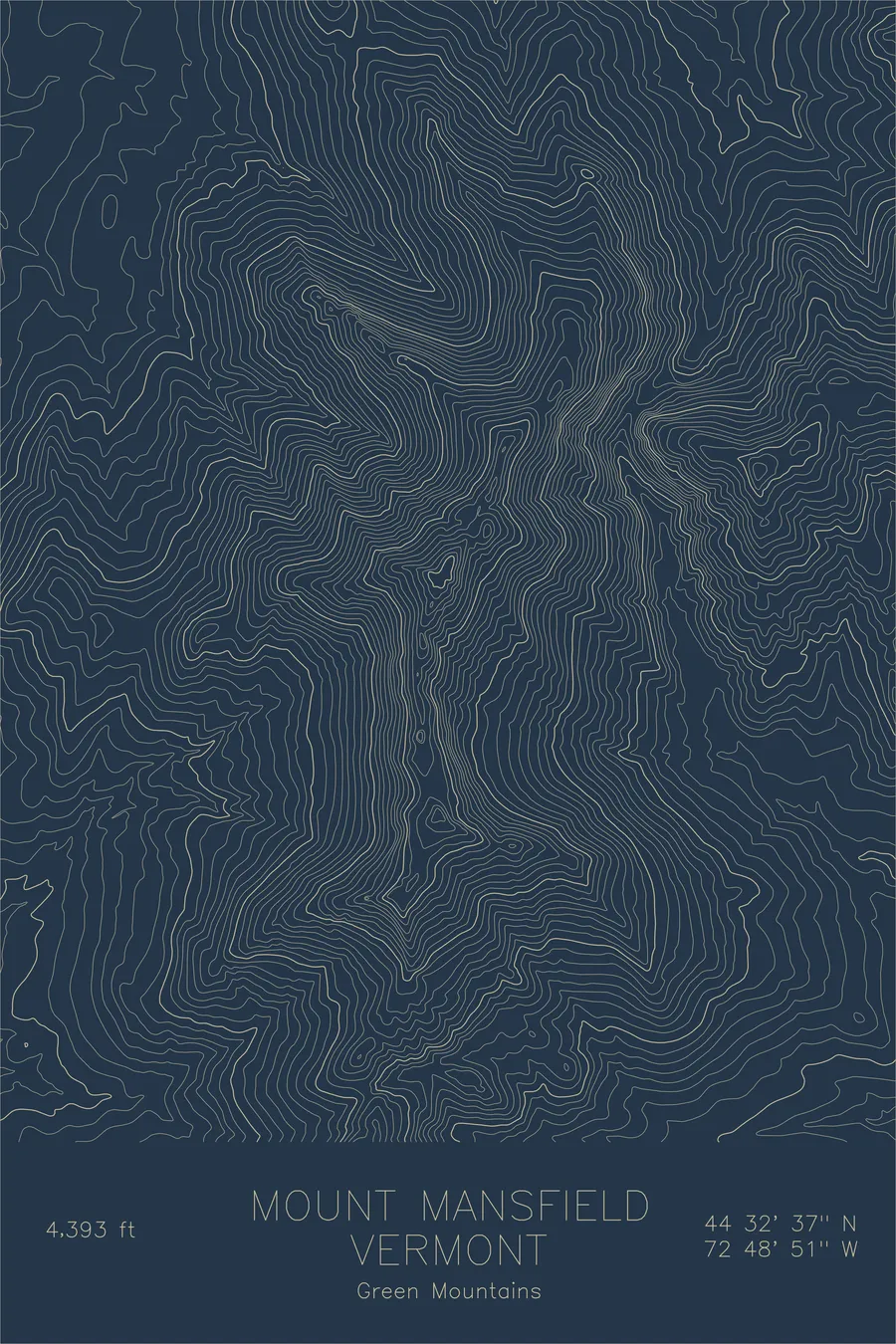
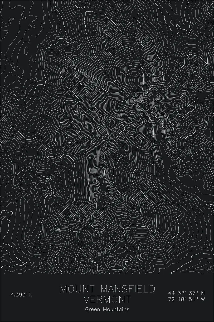
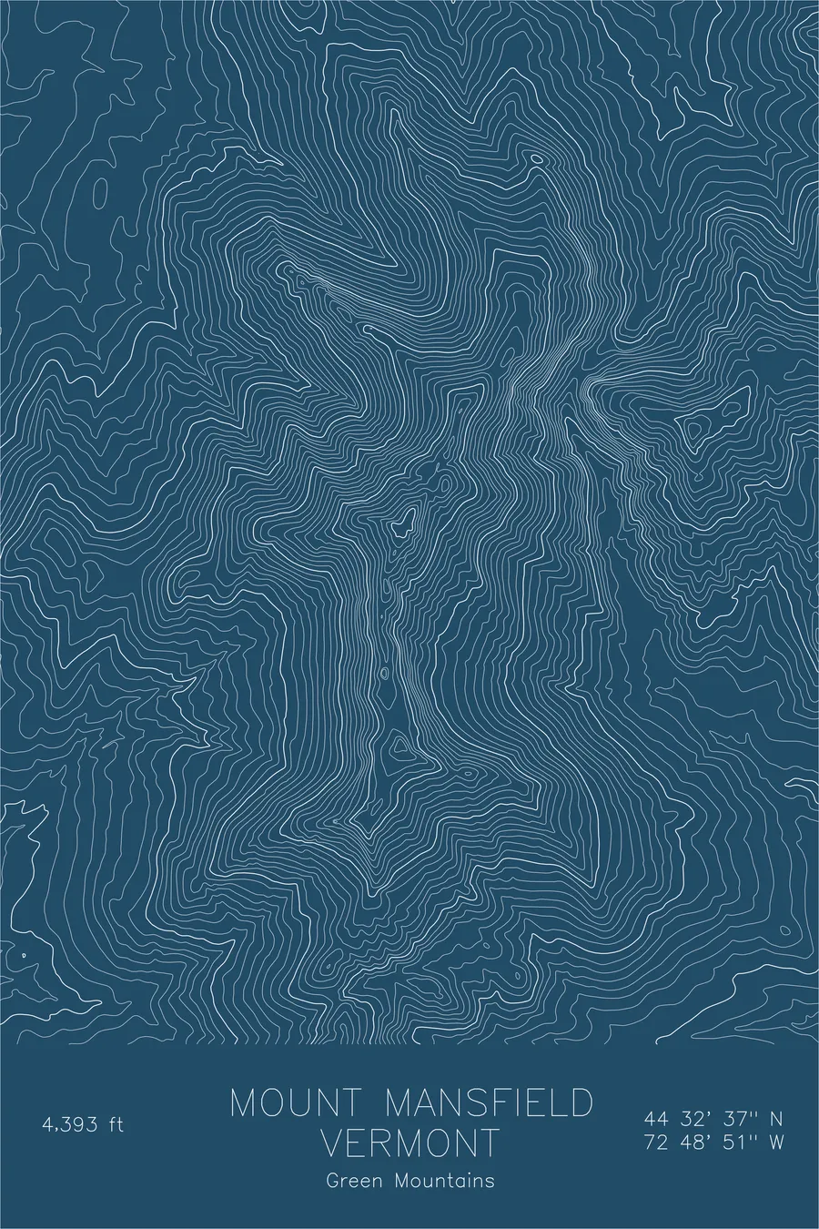
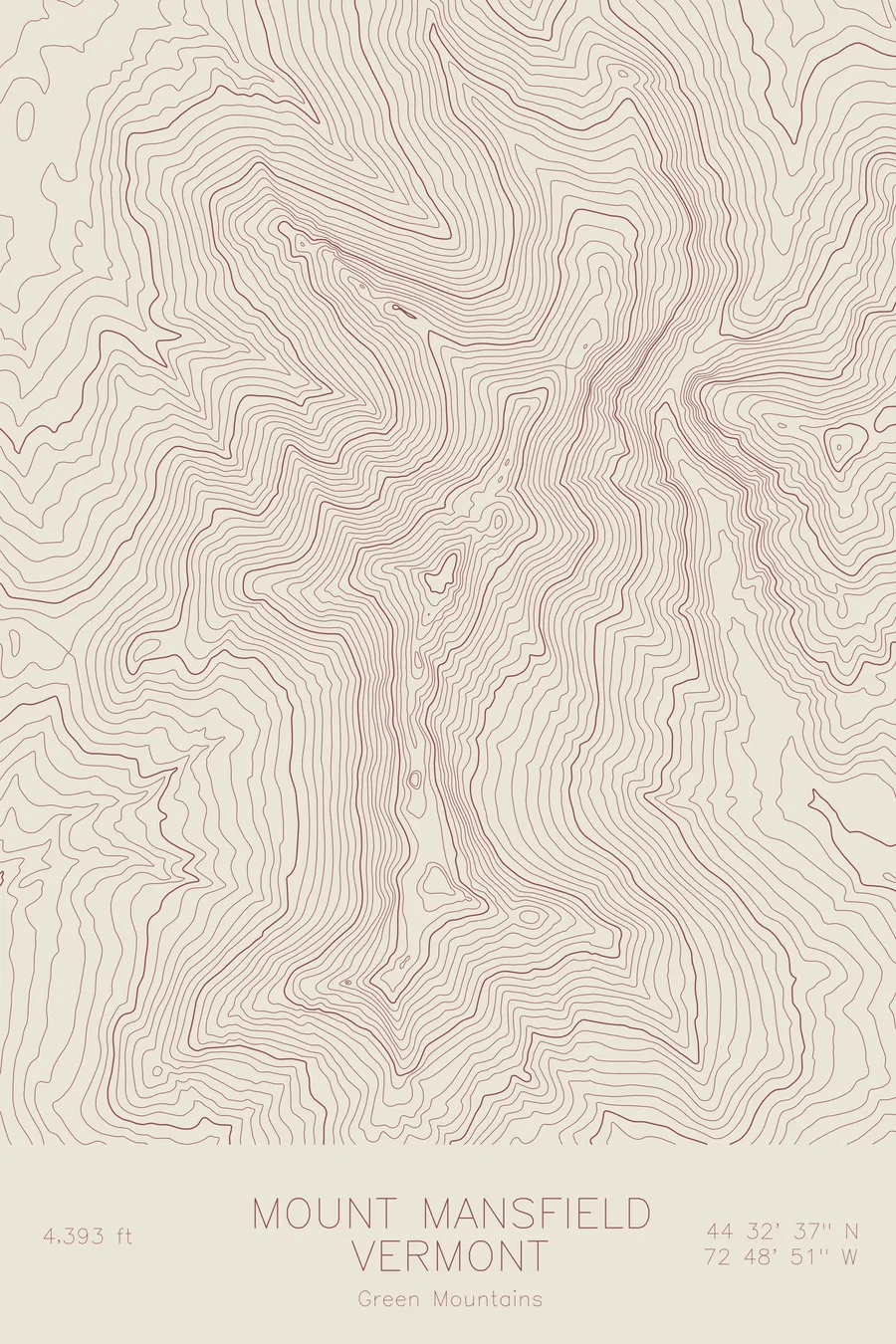
A pen-plotted topographic map of Mount Mansfield in the Green Mountains, Vermont, drawn from real elevation contour data.
Vermont's highest point is called the Chin, one feature of a summit ridge that early settlers decided was a face.
$54
Ink & paper: Green
Size: 12×18"
+Personalize this map
+ Details
- 12 × 18 inches
- Drawn on 98 lb (160 gsm) archival cotton paper
- Precision technical pens and archival inks
- Signed and dated on the back
- Ships flat, protected, ready to frame
Each map begins with elevation data and is drawn by a pen plotter in our Vermont studio. Mechanical precision, plus the texture and small imperfections of real ink on paper.
Off the screen
In real rooms



















+ About this map
The highest point in Vermont is called the Chin. Early settlers decided the summit ridge of Mount Mansfield was a face staring at the sky and named it accordingly, so the state high point, at 4,393 feet, is one feature on a profile that also includes the Forehead and the Nose, each with its own trails and its own weather. The ridge runs above treeline for over a mile, carrying fragile alpine plants that have held on since the last ice age, and the hiking along it is some of the most exposed in New England. Stowe’s ski trails drop off the eastern slopes, but the ridge itself stays wild.
This map highlights the elongated ridge that sets Mansfield apart from its rounder neighbors. The contour lines trace a narrow crest running roughly north-south, with steep drops on both sides. The western face falls away sharply into the Nebraska Notch area, where the lines stack into dense bands. The eastern slopes are more complex, with the ski terrain’s open bowls and gullies creating subtle undulations in the topography that the contour lines faithfully record.
+ Map details
- Mount Mansfield
- Vermont
- United States
- Green Mountains
- Northeast
- 4,393 ft / 1,339 m
- 44.5437N 72.8143W
- Mountain topographic map
- Original pen plot, archival ink on cotton paper
- 8 × 12 in · 12 × 18 in · 18 × 24 in
- Vermont's highest peak, with a ridgeline profile that resembles a human face
More maps