New Hampshire
Mount Moosilauke
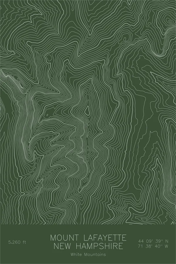
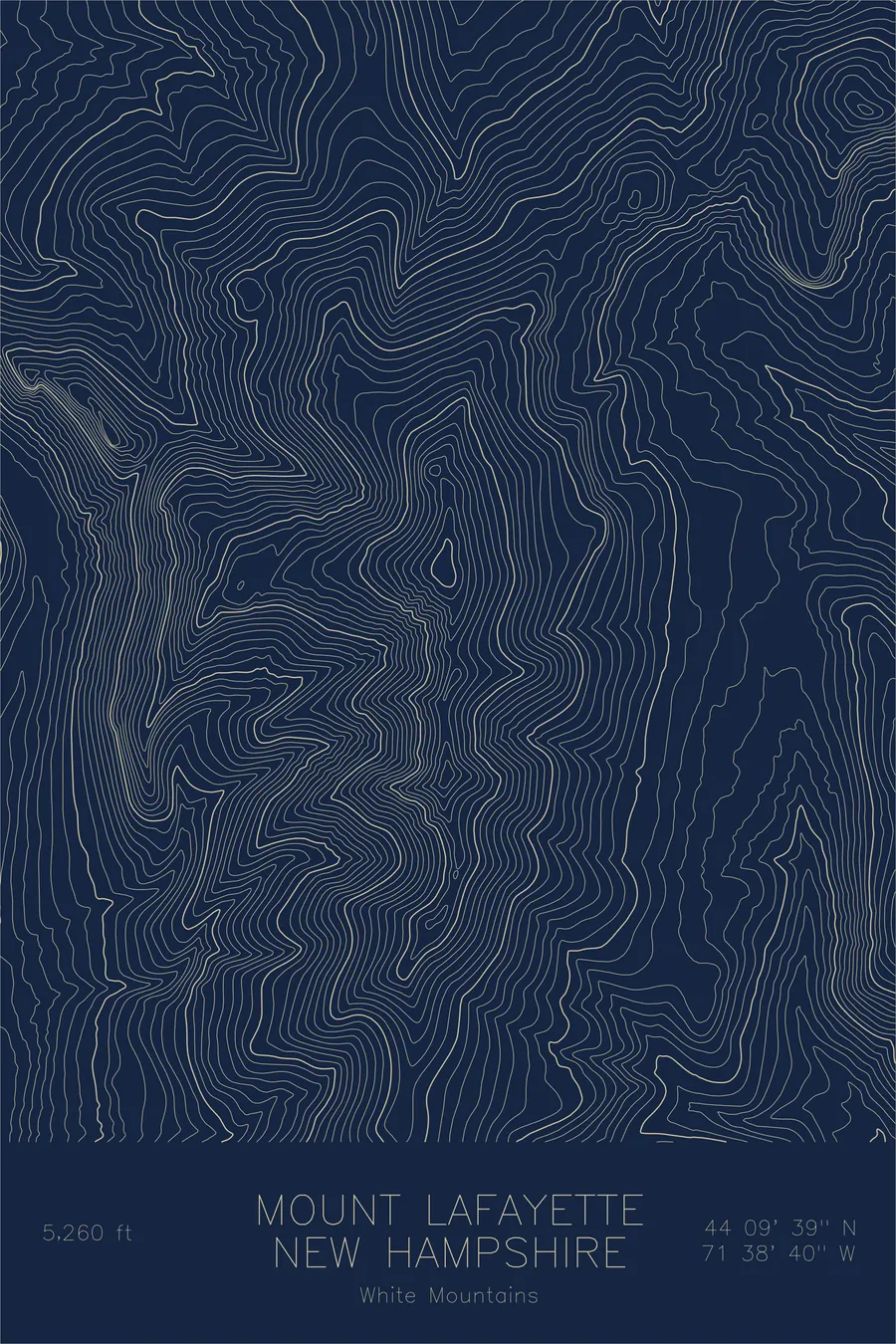
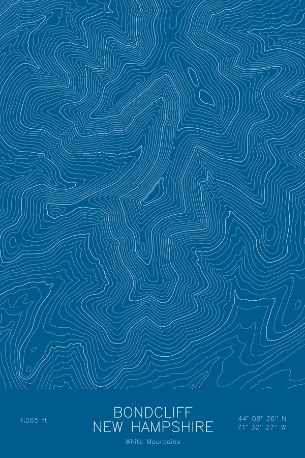
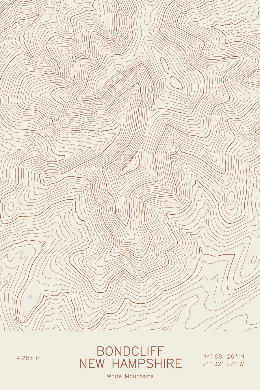
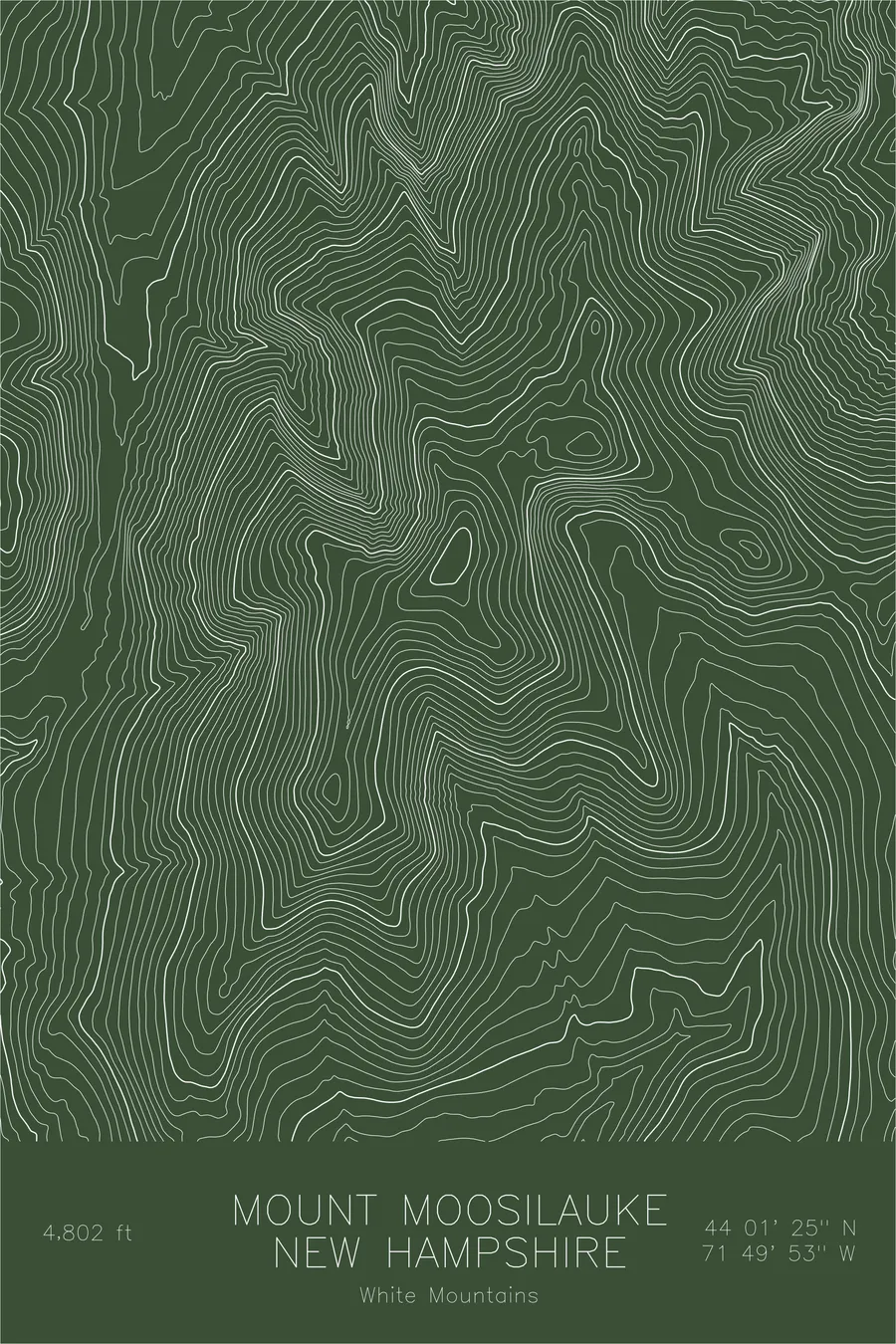
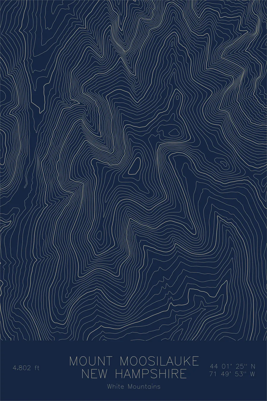
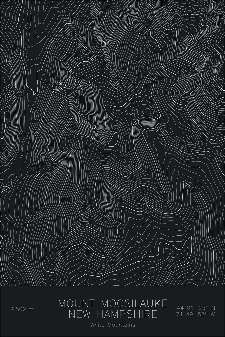
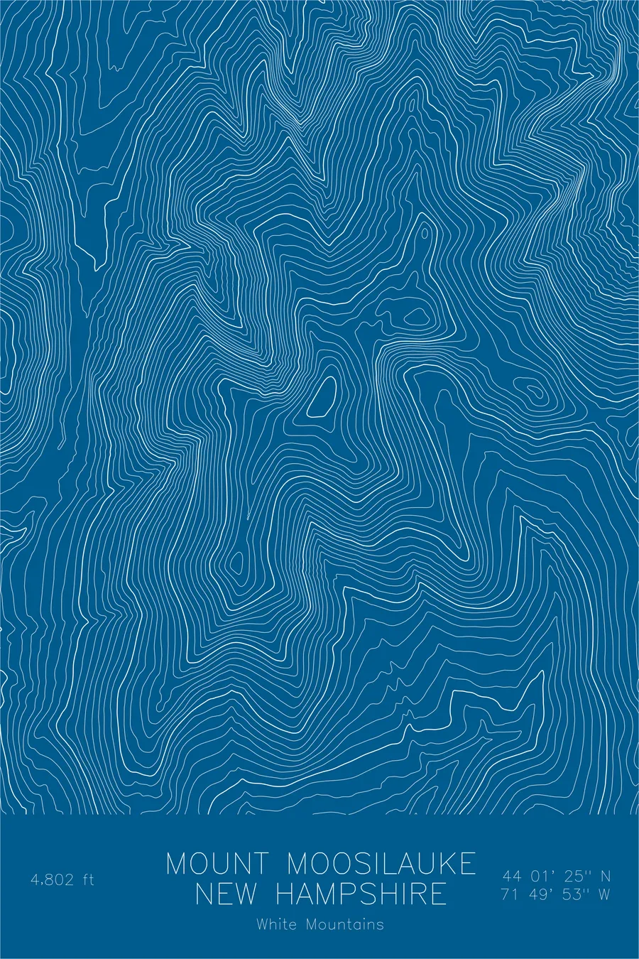
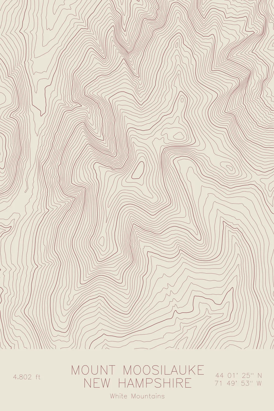
A pen-plotted topographic map of Mount Moosilauke in the White Mountains, New Hampshire, drawn from real elevation contour data.
Westernmost White Mountain 4000-footer, Dartmouth Outing Club. 4,802 feet above sea level.
$54
Ink & paper: Green
Size: 12×18"
+Personalize this map
+ Details
- 12 × 18 inches
- Drawn on 98 lb (160 gsm) archival cotton paper
- Precision technical pens and archival inks
- Signed and dated on the back
- Ships flat, protected, ready to frame
Each map begins with elevation data and is drawn by a pen plotter in our Vermont studio. Mechanical precision, plus the texture and small imperfections of real ink on paper.
Off the screen
In real rooms



















+ About this map
Mount Moosilauke rises 4,802 feet at the western edge of New Hampshire’s White Mountains, the first 4,000-footer that northbound Appalachian Trail hikers meet and their first taste of true alpine terrain. Its broad, bald summit stands apart from the rest of the range, open to weather from every direction. The Dartmouth Outing Club has maintained trails and cabins on the mountain for over a century, and generations of students have made the climb a rite of passage.
This map traces the full sweep of Moosilauke’s ridgeline, from the main summit south along the crest to South Peak. The contour lines reveal the glacial carving of Jobildunc Ravine on the northeast side and the steep drop of the Benton Range flank to the west. Tight lines mark the plunge into the Baker River valley, while the wide spacing across the summit dome shows the gentle, exposed plateau that makes the top feel like a piece of the arctic dropped into New England.
+ Map details
- Mount Moosilauke
- New Hampshire
- United States
- White Mountains
- New England
- 4,802 ft / 1,464 m
- 44.0236N 71.8314W
- Mountain topographic map
- Original pen plot, archival ink on cotton paper
- 8 × 12 in · 12 × 18 in · 18 × 24 in
- Westernmost White Mountain 4000-footer, Dartmouth Outing Club
More maps