
Colorado
Mount Princeton
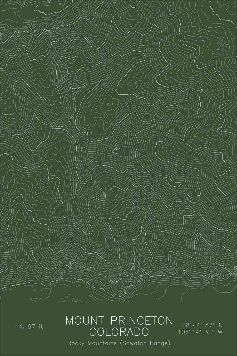
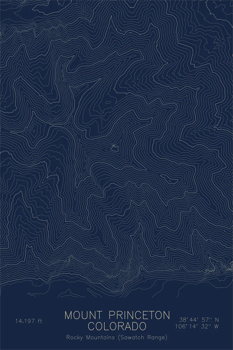
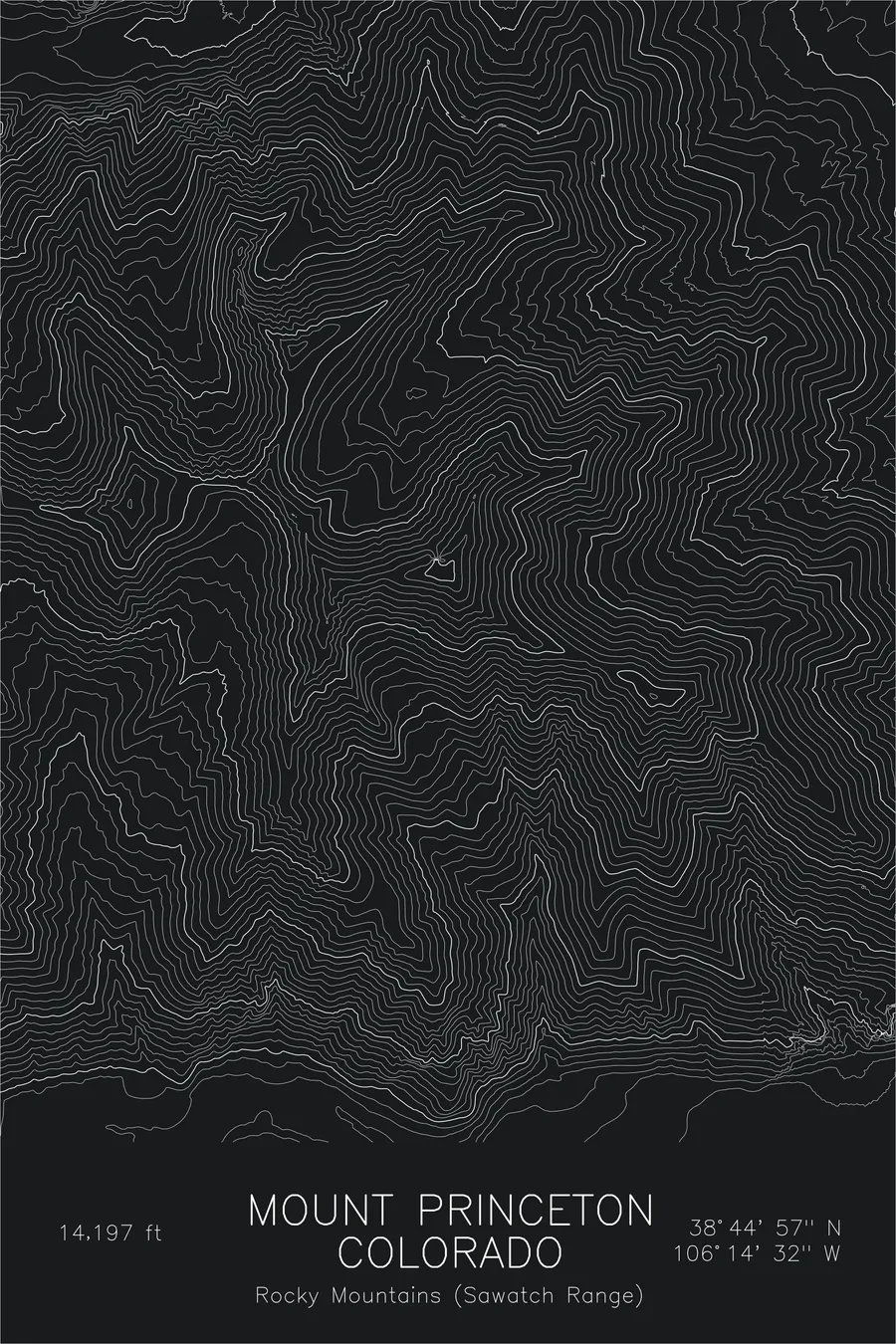
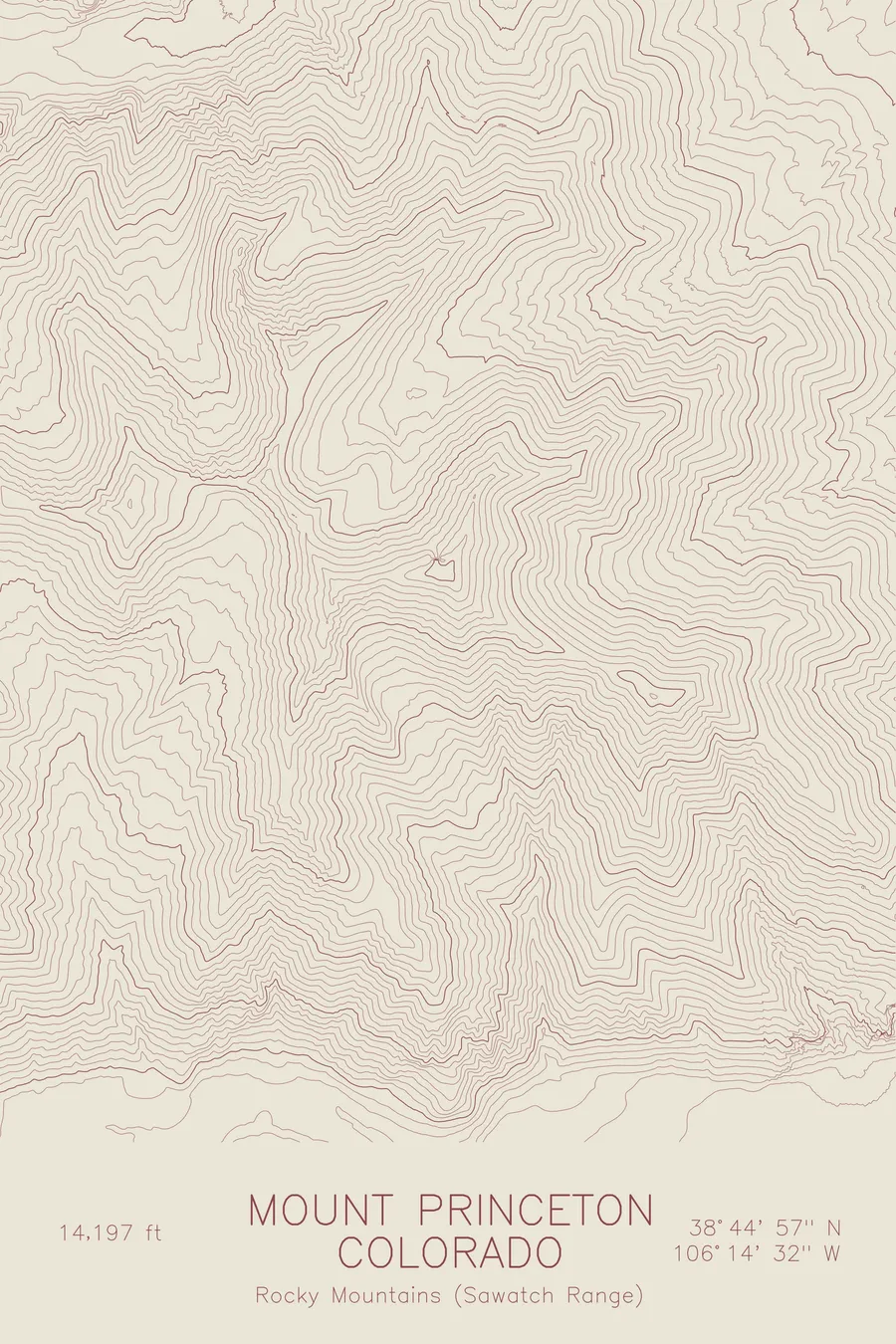
A pen-plotted topographic map of Mount Princeton in the Sawatch Range, Colorado, drawn from real elevation contour data.
Prominent Collegiate Peak above the Arkansas River valley. 14,197 feet above sea level.
$54
Ink & paper: Black
Size: 12×18"
+Personalize this map
+ Details
- 12 × 18 inches
- Drawn on 98 lb (160 gsm) archival cotton paper
- Precision technical pens and archival inks
- Signed and dated on the back
- Ships flat, protected, ready to frame
Each map begins with elevation data and is drawn by a pen plotter in our Vermont studio. Mechanical precision, plus the texture and small imperfections of real ink on paper.
Off the screen
In real rooms



















+ About this map
Mount Princeton rises to 14,197 feet at the southern end of Colorado’s Collegiate Peaks, part of the Sawatch Range. Few fourteeners announce themselves so plainly: the mountain climbs roughly 7,000 feet straight out of the Arkansas River valley near Buena Vista, a single massive pyramid with no foothills to soften it. At its southeastern base, the pale Chalk Cliffs and the hot springs below them mark the fault line where the range meets the valley floor.
The map captures that abrupt rise. Contour lines stack densely on the eastern face where the mountain drops toward the river, then open into the high basins and connecting ridges of the upper massif. The lines trace the horseshoe of ridges wrapping the east-facing cirques, and the spacing alone explains why Princeton dominates every view from the valley towns below.
+ Map details
- Mount Princeton
- Colorado
- United States
- Rocky Mountains (Sawatch Range)
- Rocky Mountains
- 14,197 ft / 4,327 m
- 38.7492N 106.2422W
- Mountain topographic map
- Original pen plot, archival ink on cotton paper
- 8 × 12 in · 12 × 18 in · 18 × 24 in
- Prominent Collegiate Peak above the Arkansas River valley
More maps