Washington
Mount Rainier National Park
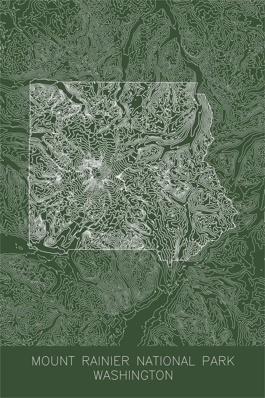
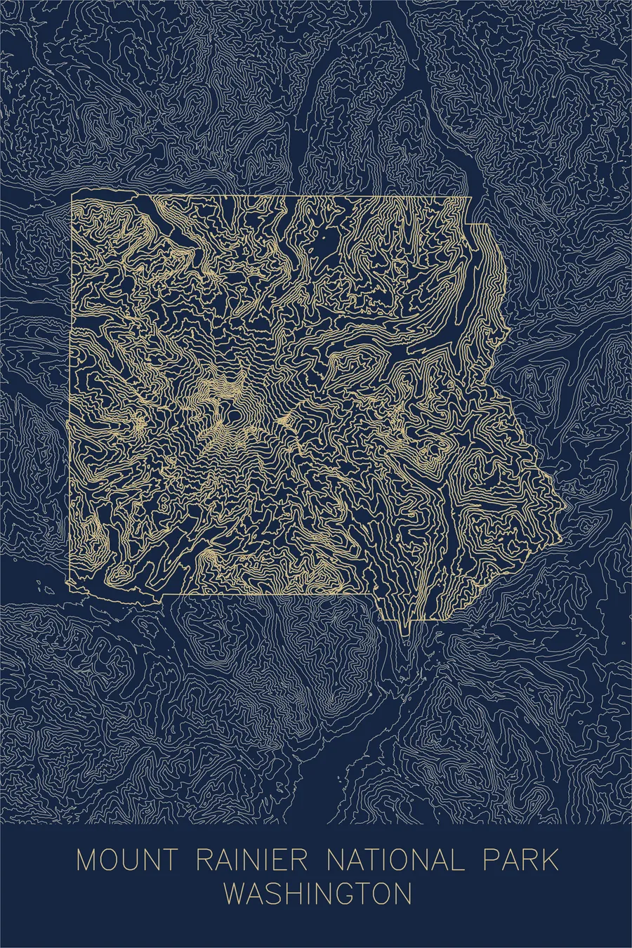
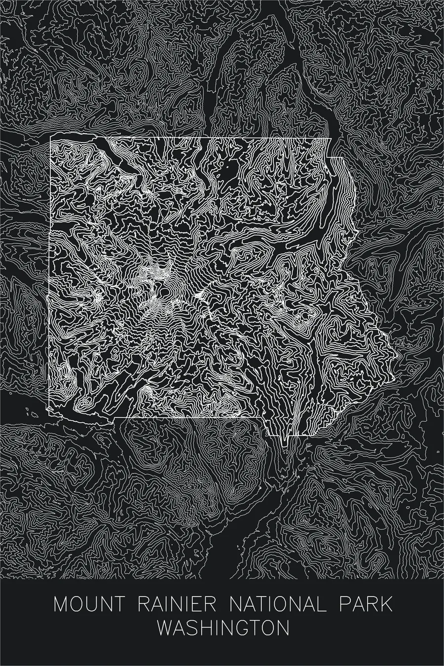
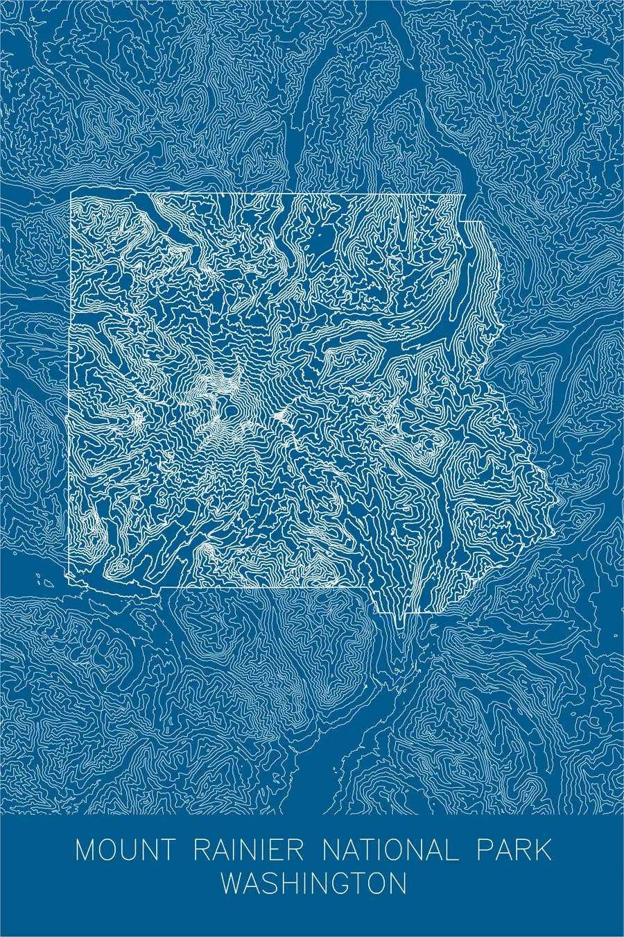
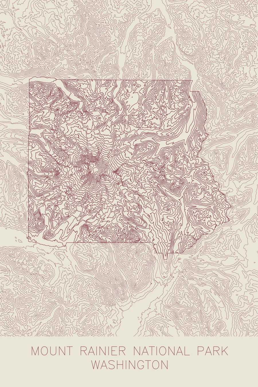
A pen-plotted topographic map of Mount Rainier National Park, Washington, drawn from real elevation contour data.
Named in 1792 for a Royal Navy officer who never saw the Pacific Northwest.
$54
Ink & paper: Blue
+Personalize this map
+ Details
- 12 × 18 inches
- Drawn on 98 lb (160 gsm) archival cotton paper
- Precision technical pens and archival inks
- Signed and dated on the back
- Ships flat, protected, ready to frame
Each map begins with elevation data and is drawn by a pen plotter in our Vermont studio. Mechanical precision, plus the texture and small imperfections of real ink on paper.
Off the screen
In real rooms



















+ About this map
Mount Rainier is named for a man who never saw it. George Vancouver named the peak on May 8, 1792 for his friend Peter Rainier, a Royal Navy captain who had been severely wounded in 1778 capturing an American privateer, and who managed to go his entire life without visiting the Pacific Northwest. The mountain itself is an active stratovolcano rising to 14,411 feet, the highest peak in the Cascade Range, and the snow it collects set a world record: the Paradise Ranger Station measured 1,122 inches, 93.5 feet, in the winter of 1971-72, a seasonal total that stood for over two decades.
The map shows the classic form of a volcano rendered in contour, a great bullseye of concentric lines centered on the summit crater. Radiating out from that center, the lines split around the ridges and glacial valleys that spoke off the mountain in every direction, carrying the Nisqually, Carbon, and White rivers down toward the lowlands. The satellite peak of Little Tahoma appears as a sharp knot of contours on the eastern flank.
+ Map details
- Mount Rainier National Park
- Washington
- United States
- Pacific Northwest
- 14,411 ft / 4,392 m
- 46.8523N 121.7603W
- National park topographic map
- Original pen plot, archival ink on cotton paper
- 12 × 18 in
- The most glaciated peak in the contiguous United States
More maps