Colorado
Mount Sherman
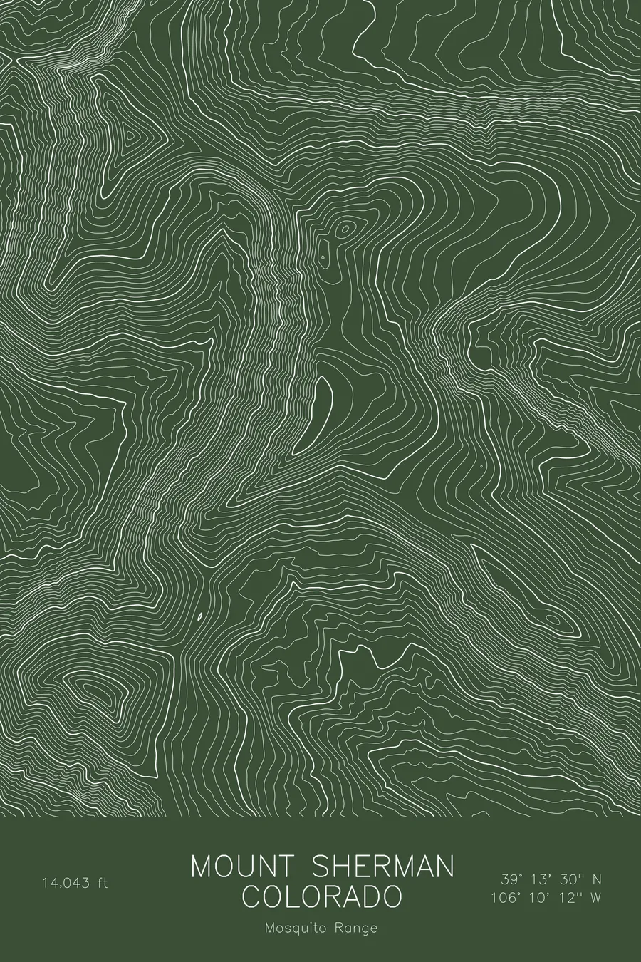
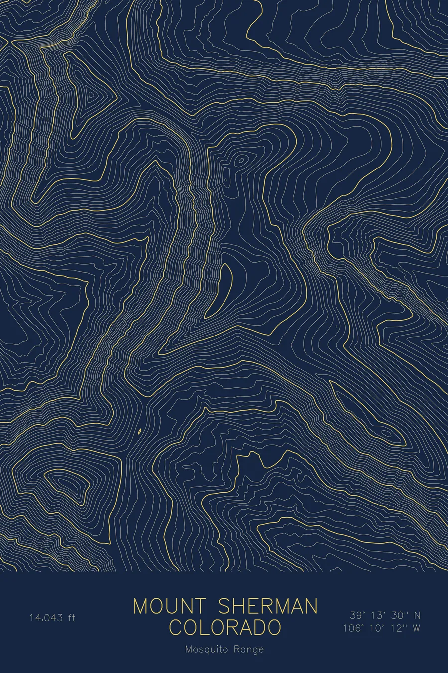
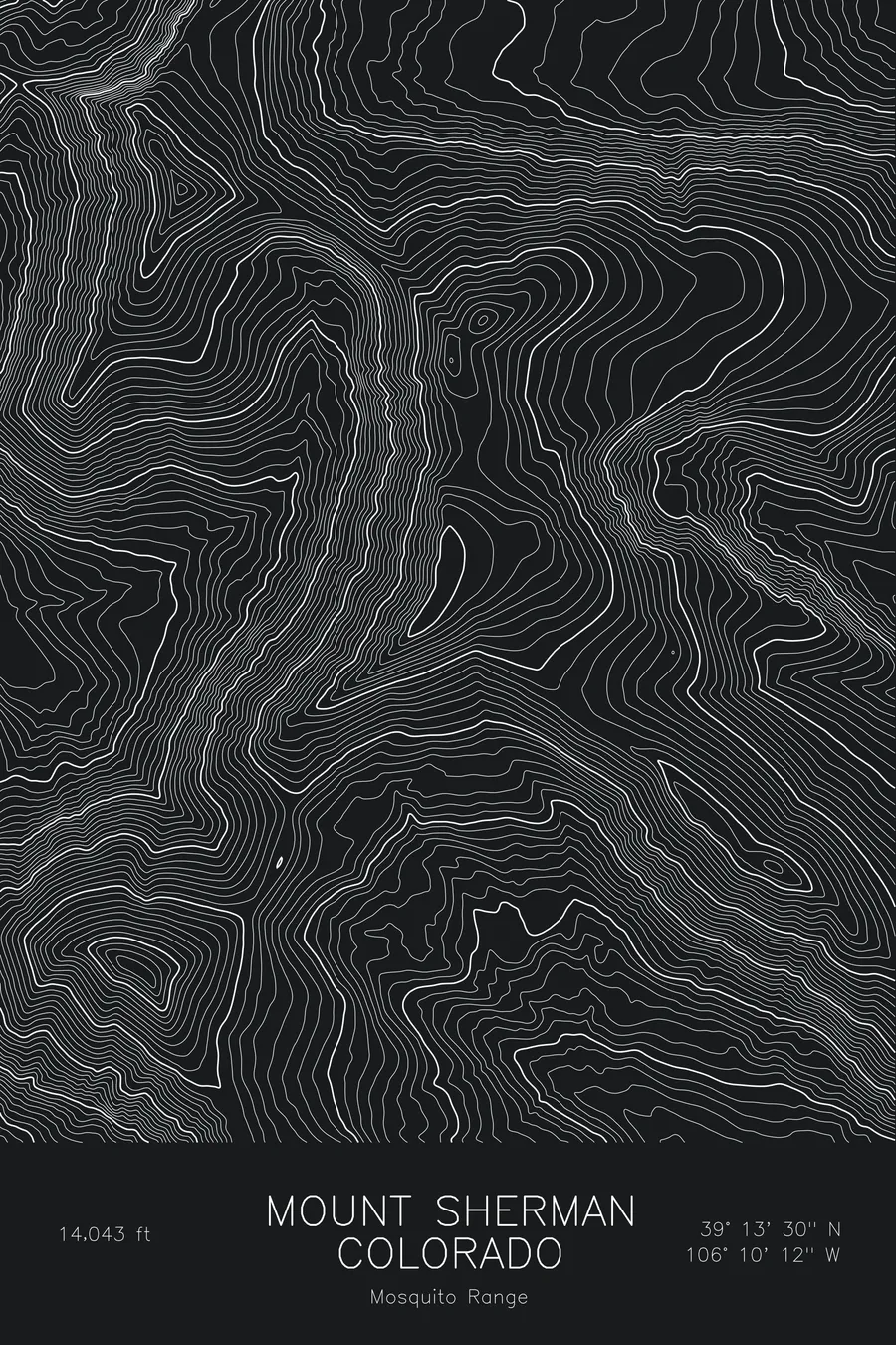
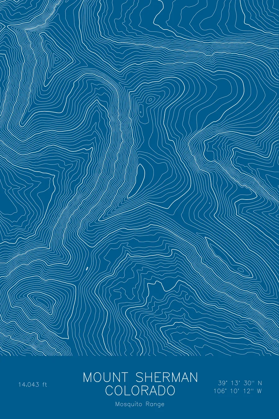
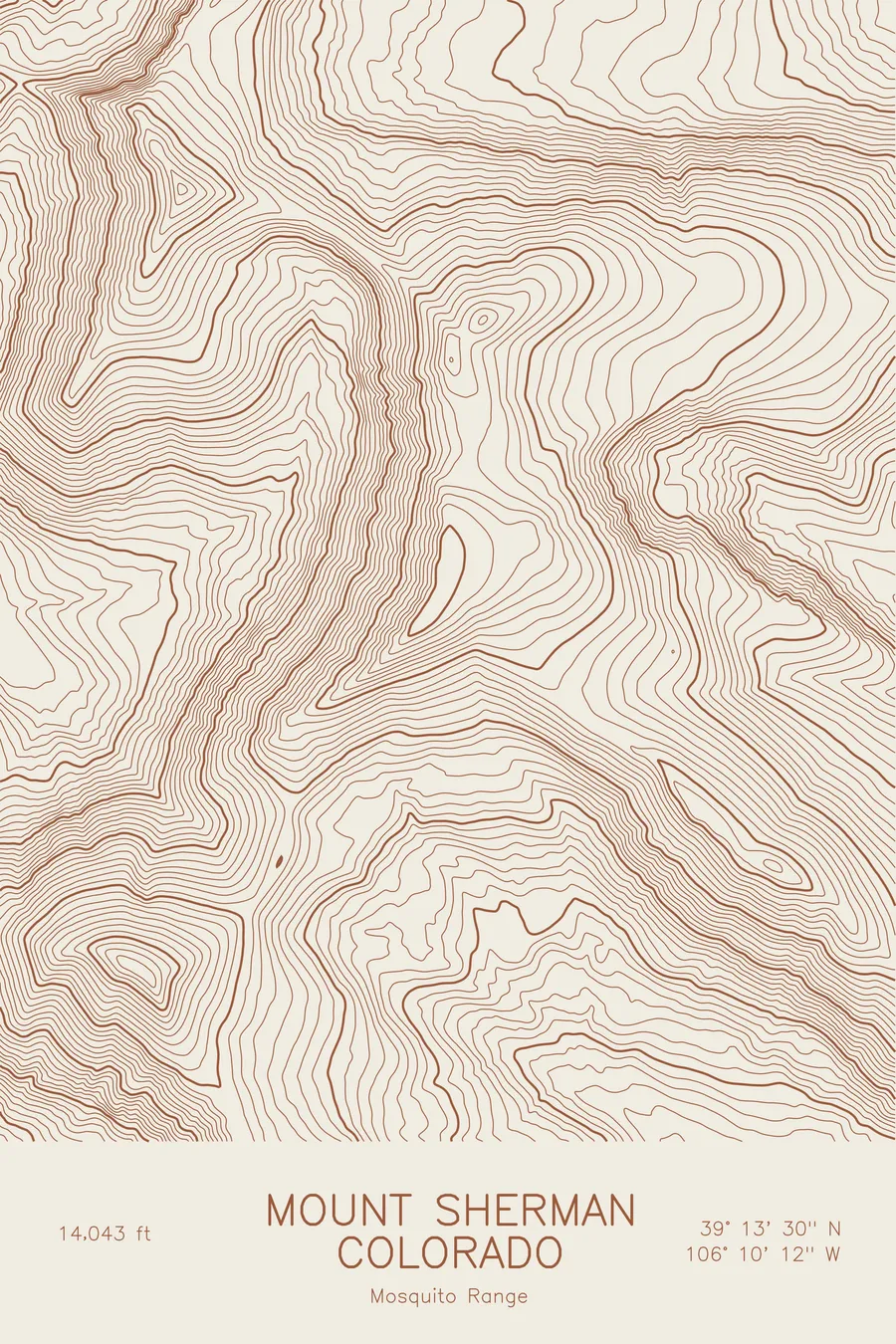
A pen-plotted topographic map of Mount Sherman in the Mosquito Range, Colorado, drawn from real elevation contour data.
One of the easiest 14ers, above the historic Leadville mining district. 14,043 feet above sea level.
$54
Ink & paper: Blue
Size: 12×18"
+Personalize this map
+ Details
- 12 × 18 inches
- Drawn on 98 lb (160 gsm) archival cotton paper
- Precision technical pens and archival inks
- Signed and dated on the back
- Ships flat, protected, ready to frame
Each map begins with elevation data and is drawn by a pen plotter in our Vermont studio. Mechanical precision, plus the texture and small imperfections of real ink on paper.
Off the screen
In real rooms



















+ About this map
Mount Sherman rises to 14,043 feet in the Mosquito Range of central Colorado, between Leadville and Fairplay. It is generally counted among the easiest of the state’s fourteeners, a short walk on old mining roads to a long, flat summit ridge, and the slopes on both sides are dotted with the remains of the silver boom: the Hilltop Mine, the Dauntless, and a scatter of shafts and cabins near the tree line.
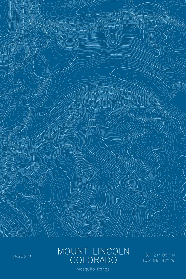
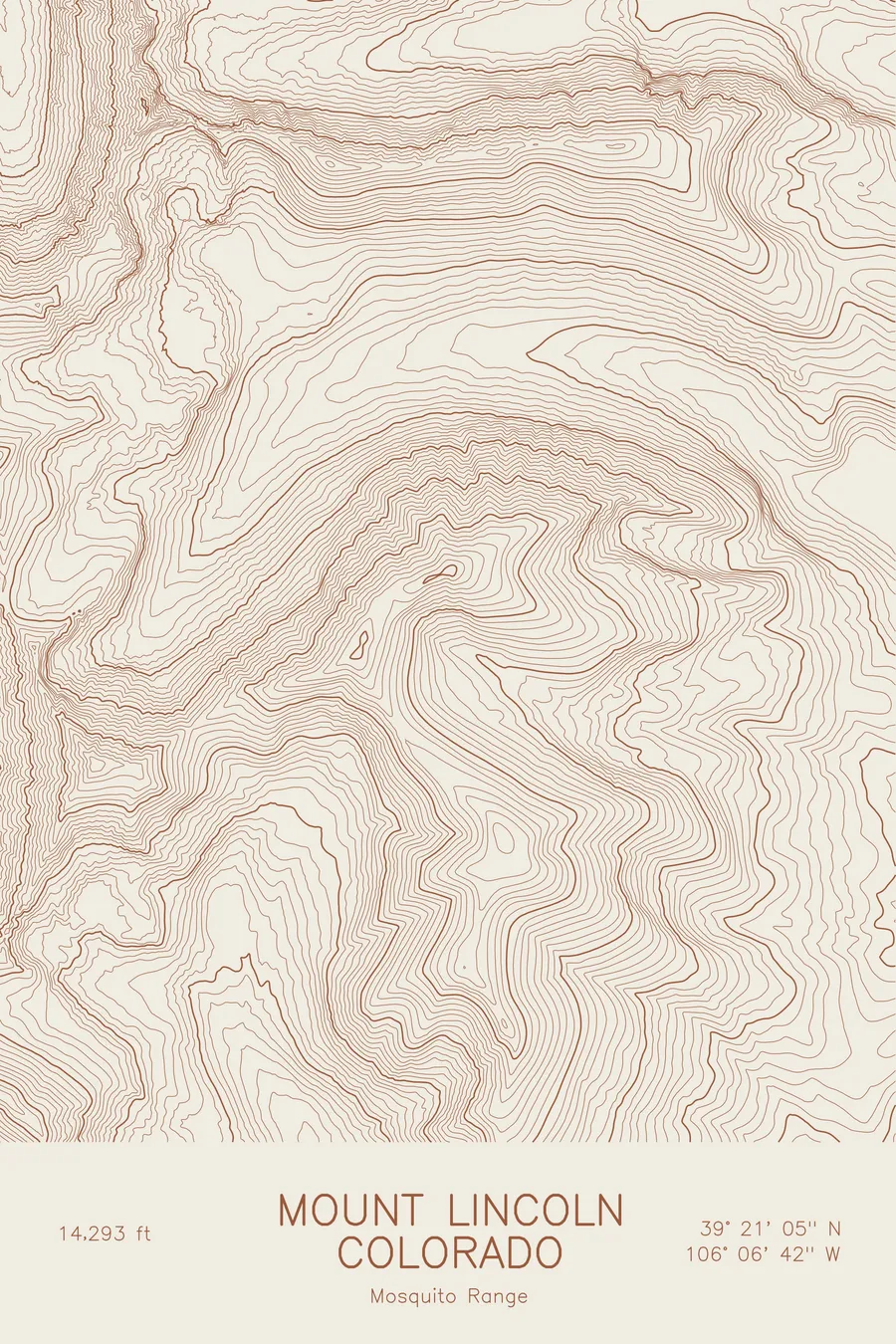
This map traces a mountain of broad shoulders rather than sharp faces. The contour lines are widely spaced along the summit ridge and the gentle upper slopes, tightening into the cirques cut into the east side above Fourmile Creek and the west side above Iowa Gulch. Within this frame the terrain covers about 2,400 feet, a modest span for a fourteener, which is exactly why the mountain is climbed by so many people who have never climbed one before.
+ Map details
- Mount Sherman
- Colorado
- United States
- Mosquito Range
- Mosquito Range
- 14,043 ft / 4,280 m
- 39.2250N 106.1699W
- Mountain topographic map
- Original pen plot, archival ink on cotton paper
- 8 × 12 in · 12 × 18 in · 18 × 24 in
- One of the easiest 14ers, above the historic Leadville mining district
More maps