Colorado
Mount Democrat
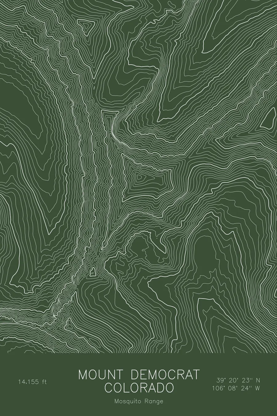
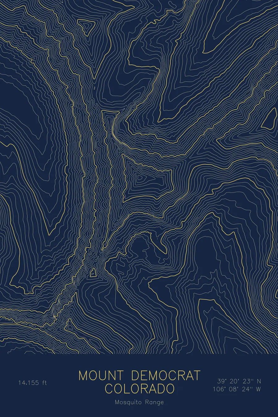
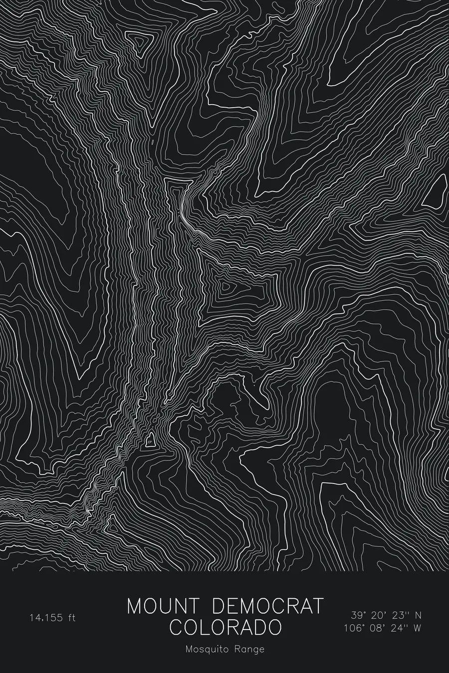
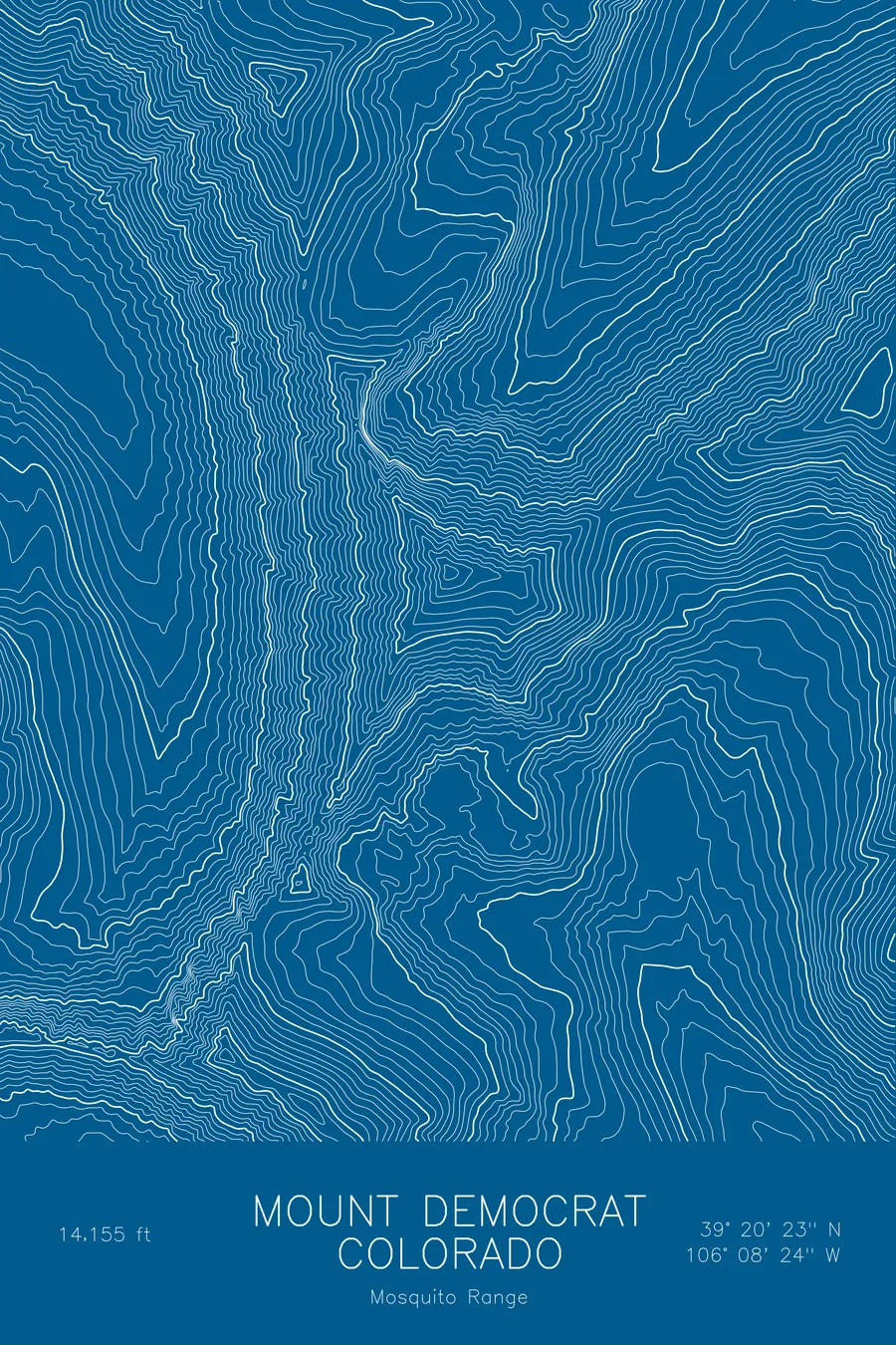
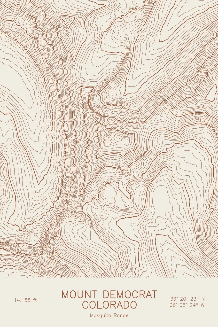
A pen-plotted topographic map of Mount Democrat in the Mosquito Range, Colorado, drawn from real elevation contour data.
Decalibron 14er above Kite Lake, one of Colorado's most-climbed peaks. 14,155 feet above sea level.
$54
Ink & paper: Blue
Size: 12×18"
+Personalize this map
+ Details
- 12 × 18 inches
- Drawn on 98 lb (160 gsm) archival cotton paper
- Precision technical pens and archival inks
- Signed and dated on the back
- Ships flat, protected, ready to frame
Each map begins with elevation data and is drawn by a pen plotter in our Vermont studio. Mechanical precision, plus the texture and small imperfections of real ink on paper.
Off the screen
In real rooms



















+ About this map
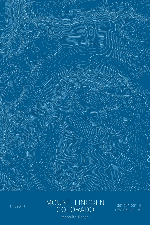
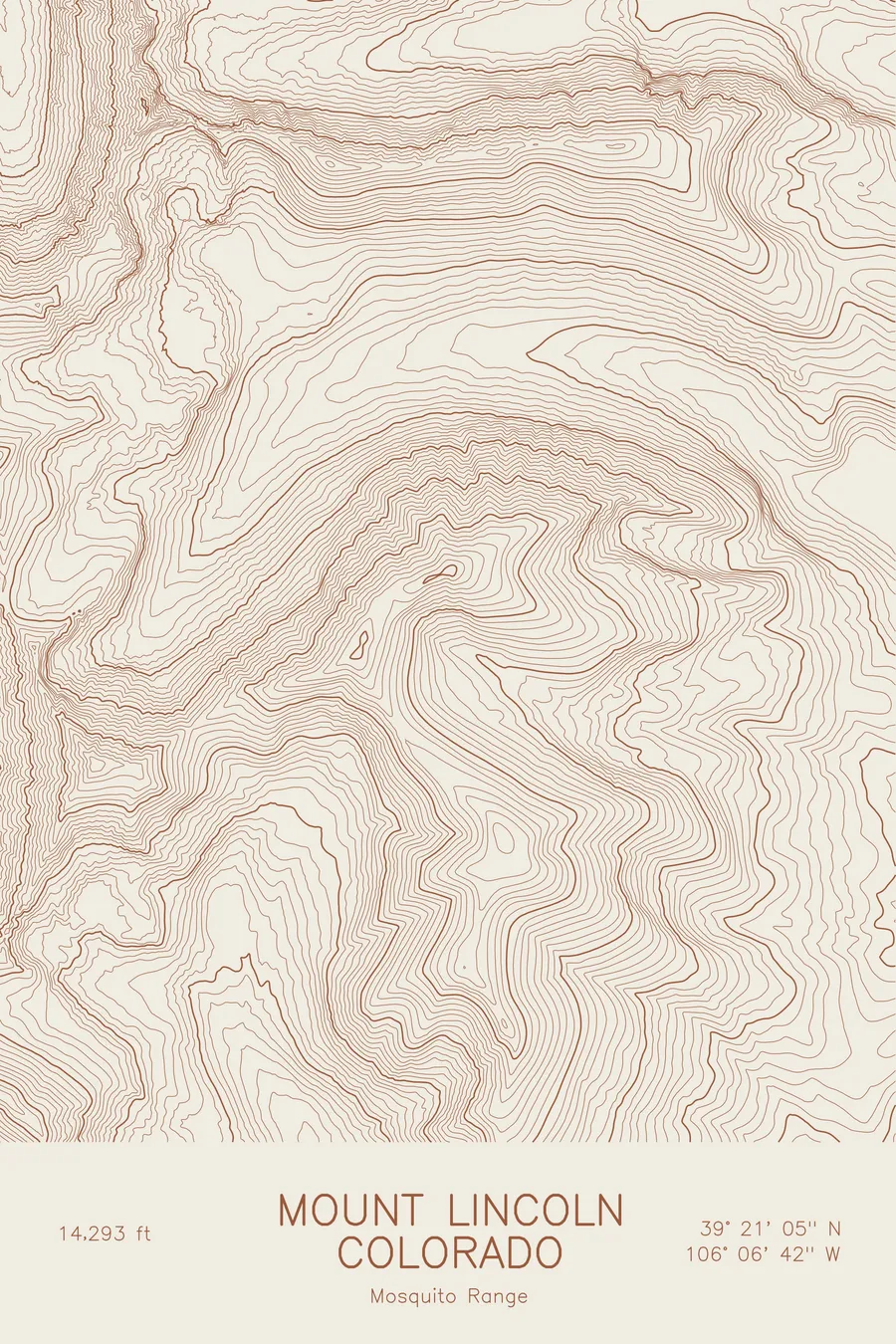
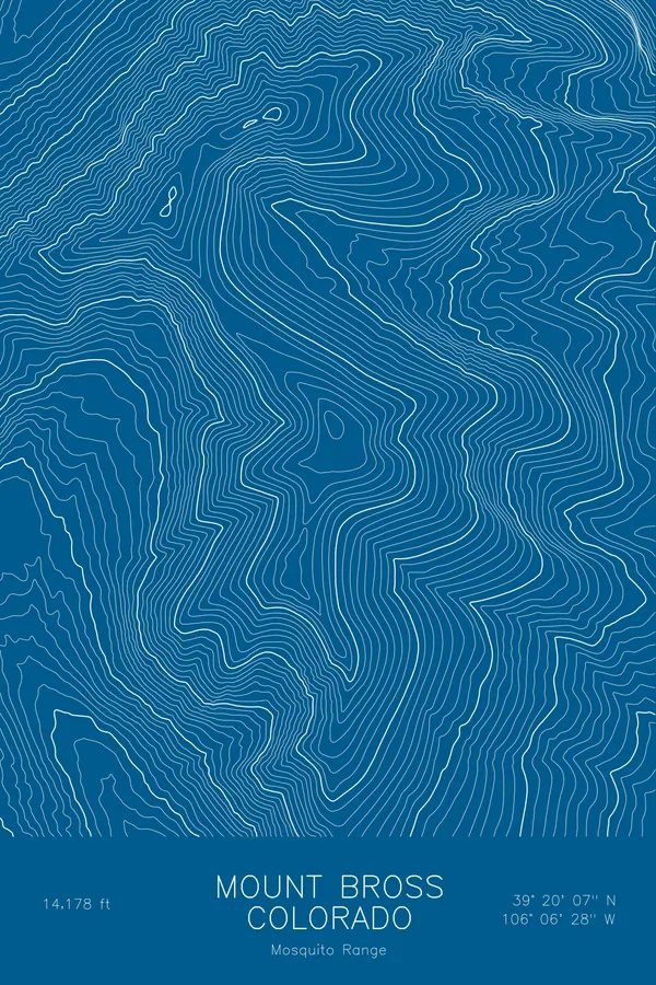
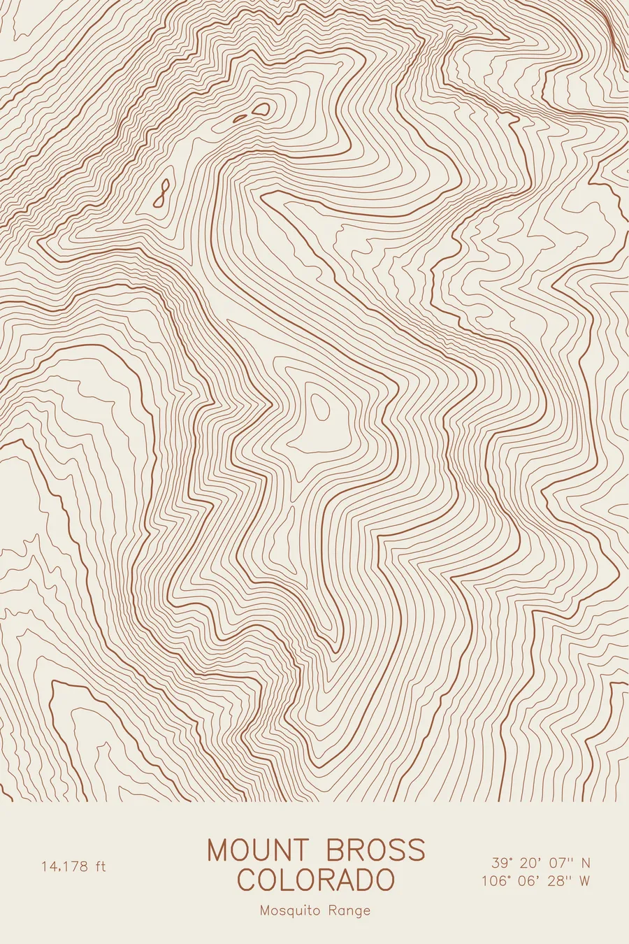
Mount Democrat rises to 14,155 feet in the Mosquito Range of central Colorado, above Kite Lake at the head of Buckskin Gulch. It anchors the western end of the Decalibron loop, the traverse of Democrat, Cameron, Lincoln, and Bross that lets a hiker tag several fourteeners in a single morning, which makes it one of the most-climbed high peaks in the state.
This map traces the compact cluster of summits around the head of the gulch. The contour lines are tightest on Democrat’s north side, where the mountain drops sharply toward the Montgomery Reservoir drainage, and more evenly spaced on the south slopes above Kite Lake. Mount Cameron’s rounded summit fills the northeast of the frame, joined to Democrat by the high saddle that the loop trail follows. The whole frame sits above 11,000 feet, so the map shows almost nothing but alpine tundra, rock, and the old mining roads that thread the upper basins.
+ Map details
- Mount Democrat
- Colorado
- United States
- Mosquito Range
- Mosquito Range
- 14,155 ft / 4,315 m
- 39.3396N 106.1400W
- Mountain topographic map
- Original pen plot, archival ink on cotton paper
- 8 × 12 in · 12 × 18 in · 18 × 24 in
- Decalibron 14er above Kite Lake, one of Colorado's most-climbed peaks
More maps