Colorado
Mount Lincoln
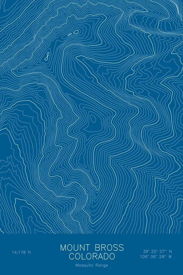
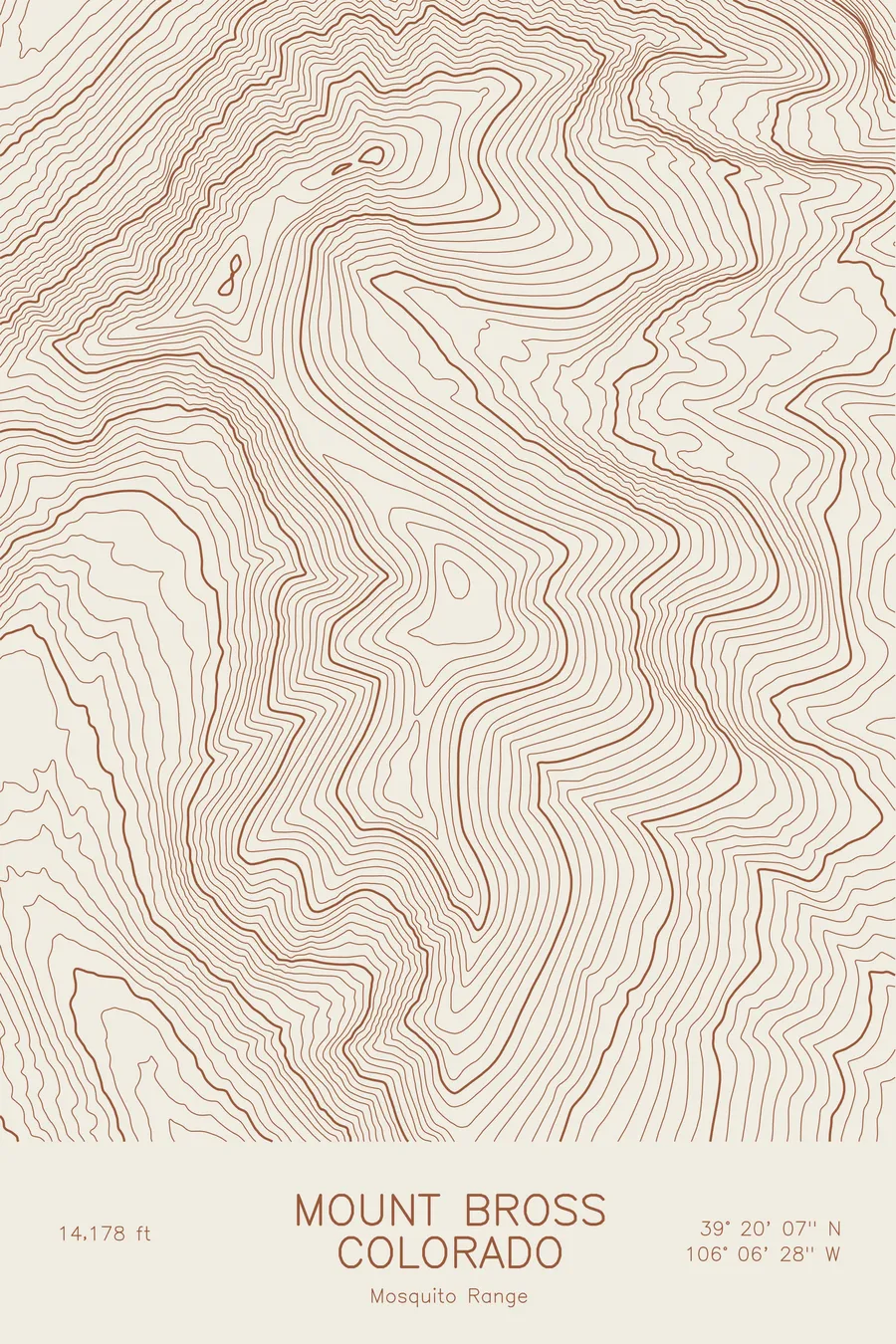
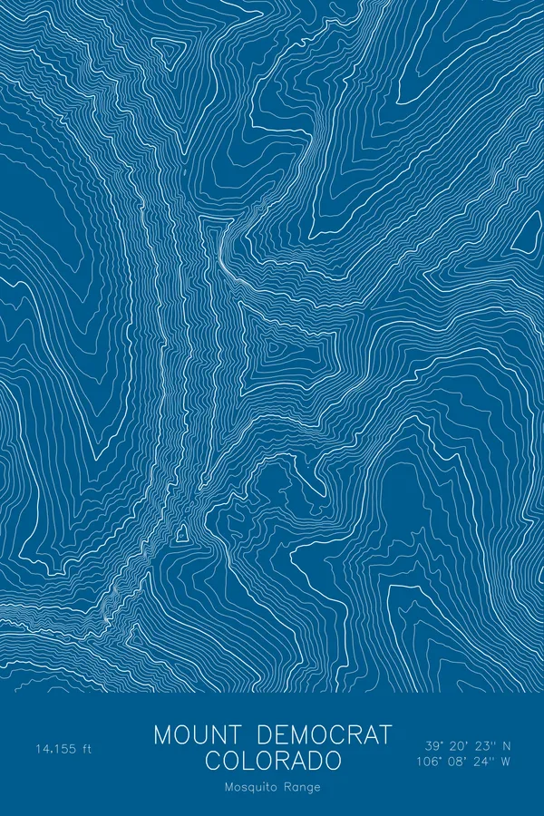
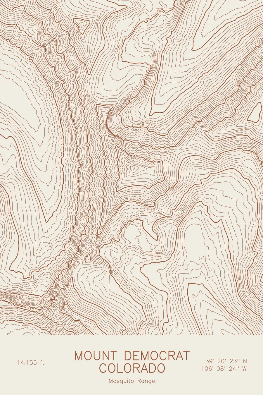
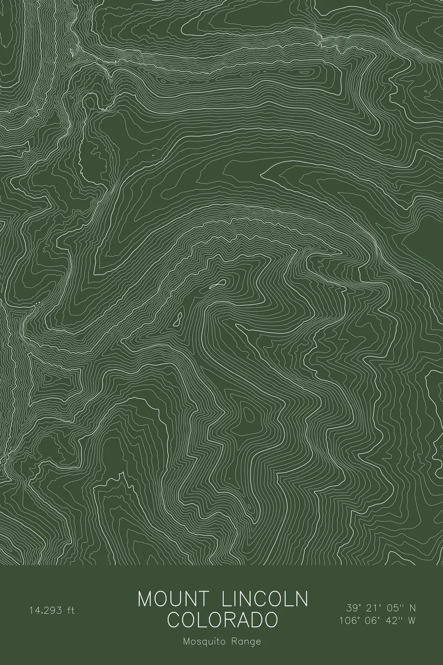
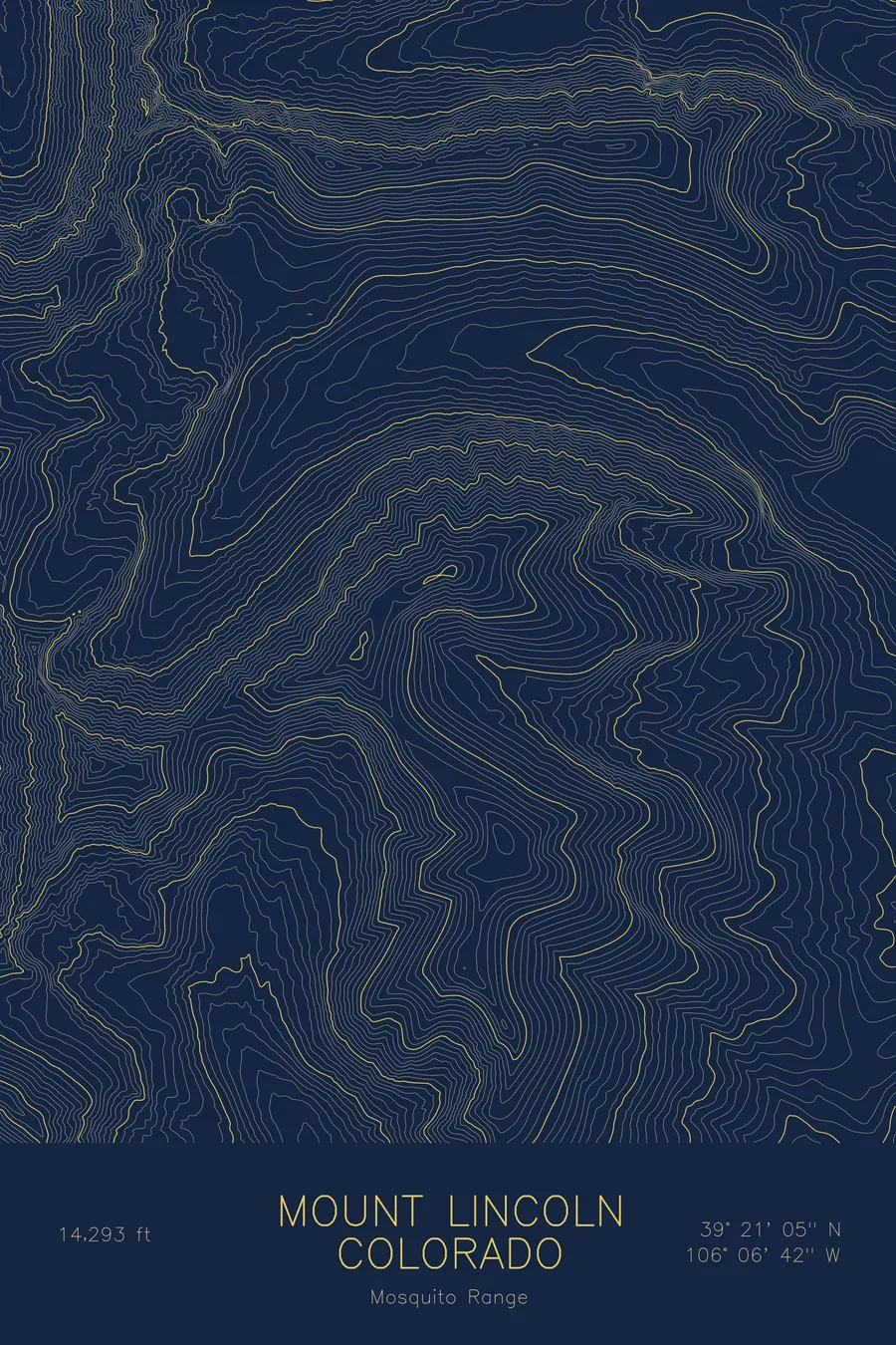
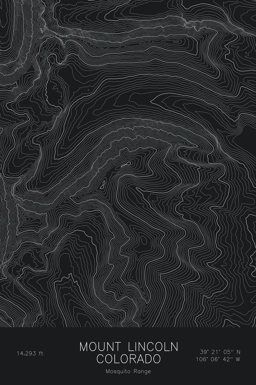
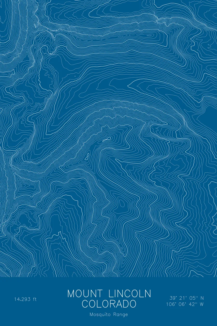
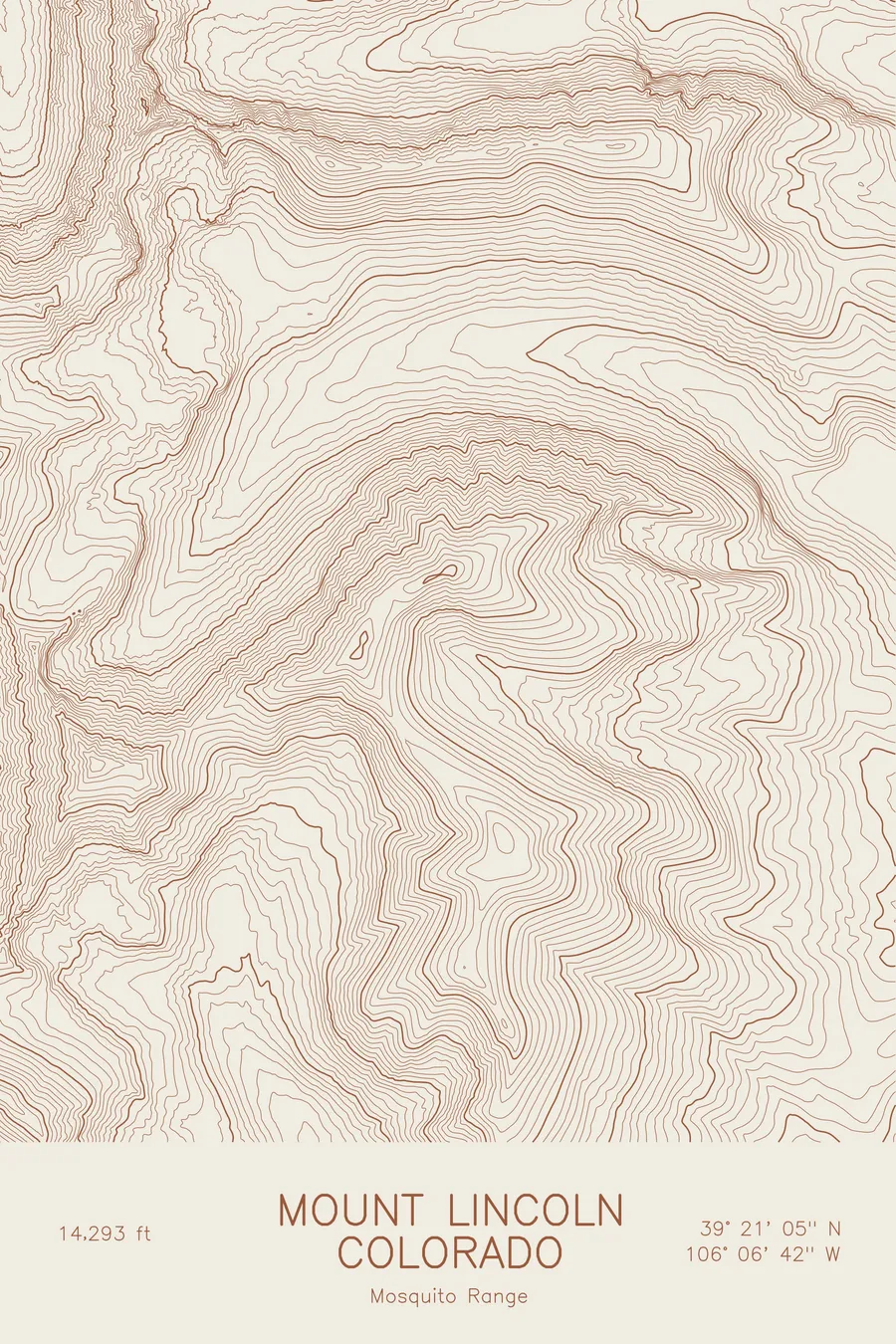
A pen-plotted topographic map of Mount Lincoln in the Mosquito Range, Colorado, drawn from real elevation contour data.
Highest peak in the Mosquito Range, anchor of the Decalibron loop. 14,293 feet above sea level.
$54
Ink & paper: Blue
Size: 12×18"
+Personalize this map
+ Details
- 12 × 18 inches
- Drawn on 98 lb (160 gsm) archival cotton paper
- Precision technical pens and archival inks
- Signed and dated on the back
- Ships flat, protected, ready to frame
Each map begins with elevation data and is drawn by a pen plotter in our Vermont studio. Mechanical precision, plus the texture and small imperfections of real ink on paper.
Off the screen
In real rooms



















+ About this map
Mount Lincoln rises to 14,293 feet in the Mosquito Range of central Colorado, the highest summit in the range and the high point of the Decalibron loop that also crosses Democrat, Cameron, and Bross. The mountain sits between Hoosier Pass and the town of Alma, and its slopes are laced with the roads and workings of the nineteenth-century mining boom, some of them among the highest mines ever worked in North America.
This map traces a broad summit ridge with steep faces cut into it. The contour lines run gently across the high plateau linking Lincoln to Cameron and Bross, then tighten into the cirques on the north and east sides, where the mountain falls toward the Montgomery Reservoir and the Platte River headwaters. Within this frame the terrain covers roughly 3,400 feet from the valley floors to the summit, and the whole map sits high enough that nearly everything on it is above treeline.
+ Map details
- Mount Lincoln
- Colorado
- United States
- Mosquito Range
- Mosquito Range
- 14,293 ft / 4,356 m
- 39.3515N 106.1116W
- Mountain topographic map
- Original pen plot, archival ink on cotton paper
- 8 × 12 in · 12 × 18 in · 18 × 24 in
- Highest peak in the Mosquito Range, anchor of the Decalibron loop
More maps