Vermont
Mount Snow
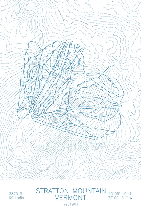
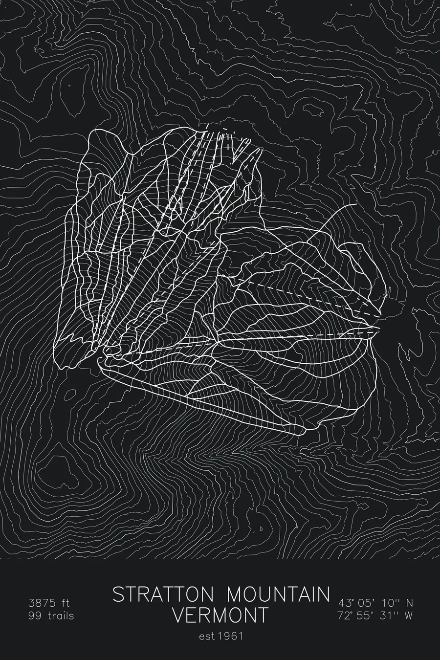
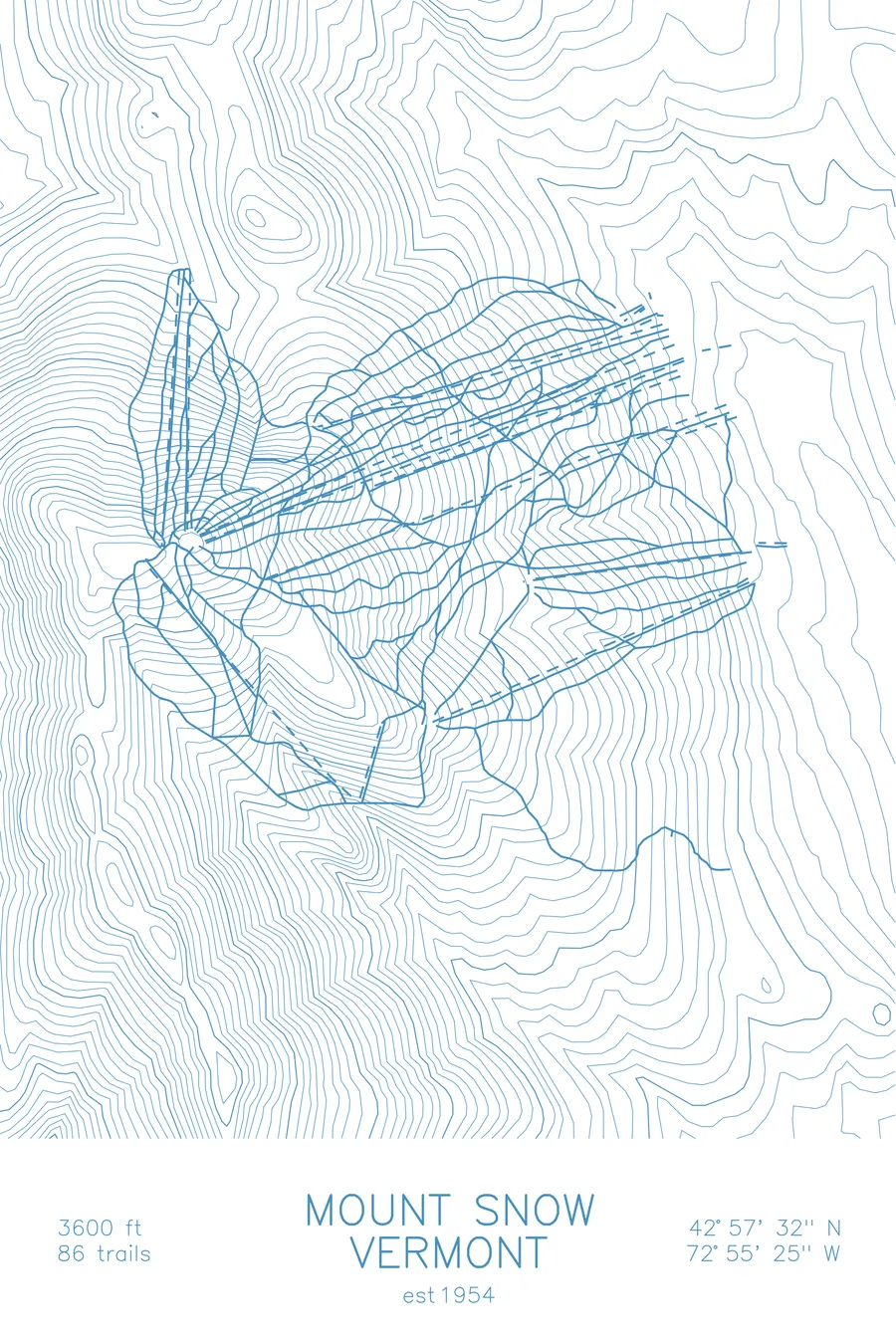
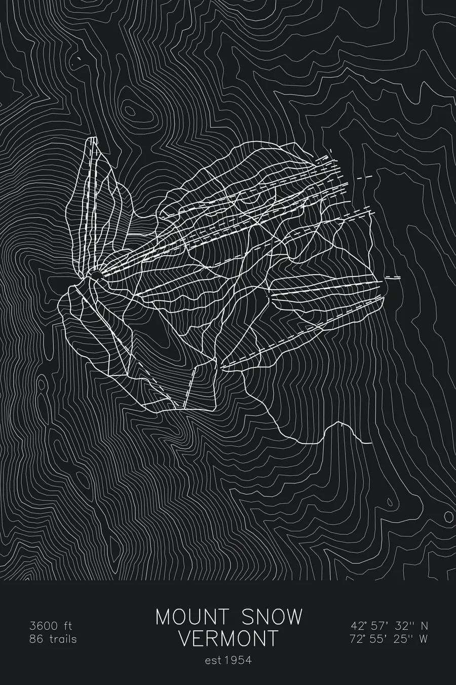
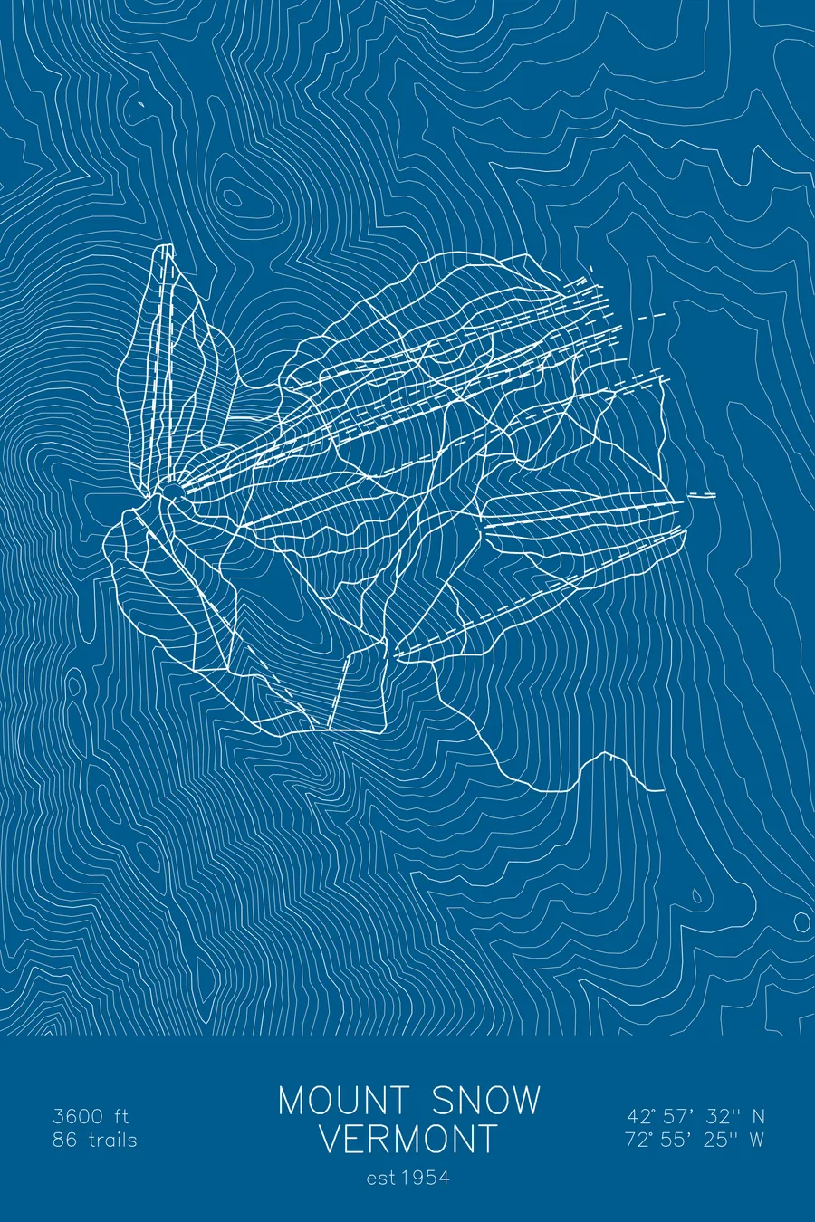
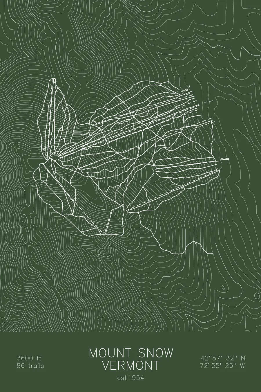
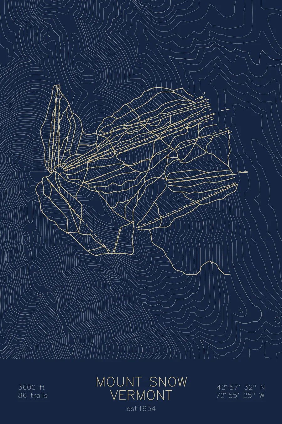
A topographic ski map of Mount Snow, Vermont, with the resort's runs and lifts drawn over real terrain in a minimalist contour-line design.
Named for Reuben Snow, the farmer who sold the land, not the weather.
$63
Ink & paper: Arctic White
Size: 12×18"
+Personalize this map
+ Details
- 12 × 18 inches
- Drawn on 98 lb (160 gsm) archival cotton paper
- Precision technical pens and archival inks
- Signed and dated on the back
- Ships flat, protected, ready to frame
Each map begins with elevation data and is drawn by a pen plotter in our Vermont studio. Mechanical precision, plus the texture and small imperfections of real ink on paper.
Off the screen
In real rooms



















+ About this map
In 1963 Mount Snow’s founder, Walt Schoenknecht, proposed to the Atomic Energy Commission that an atomic bomb be detonated under the mountain’s north side to blast out more skiable vertical, noting that a recent Nevada underground test, which left a crater 1,200 feet across and 320 feet deep, was ‘almost tailor-made for what we need here.’ The plan died when he could not obtain a bomb from the federal government. The mountain is not, incidentally, named for snow: Schoenknecht bought the land in 1953 for $15,000 from a farmer named Reuben Snow and renamed the peak after him. The 86 trails across four faces were cut the conventional way.
+ Map details
- Mount Snow
- Vermont
- United States
- New England
- 3,600 ft / 1,097 m
- 42.9589N 72.9236W
- Ski resort trail map
- Original pen plot, archival ink on cotton paper
- 8 × 12 in · 12 × 18 in · 18 × 24 in
- Est. 1954. 86 trails
More maps