Washington
Mt. Baker Ski Area
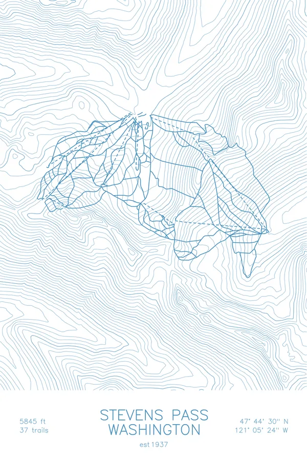
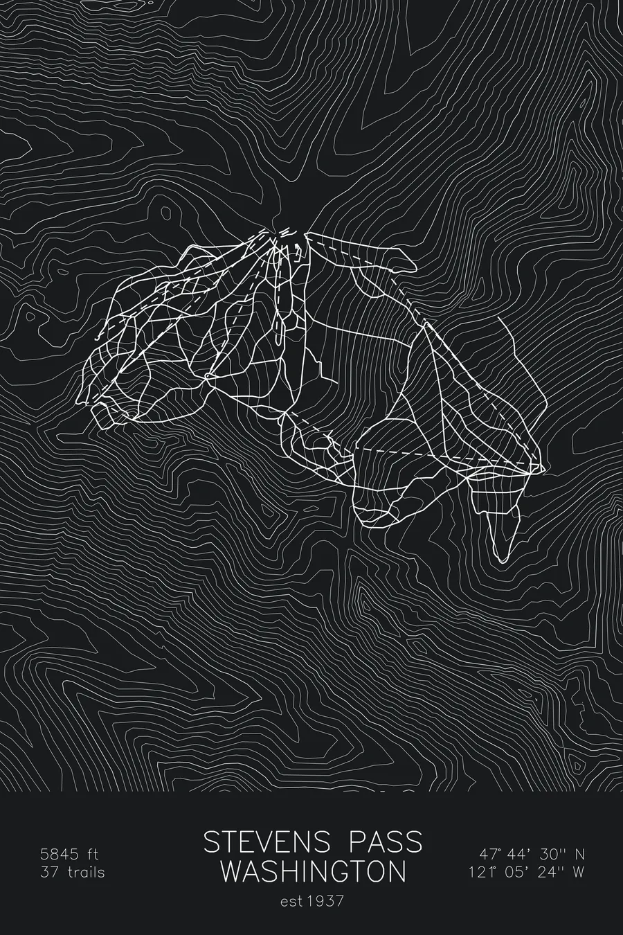
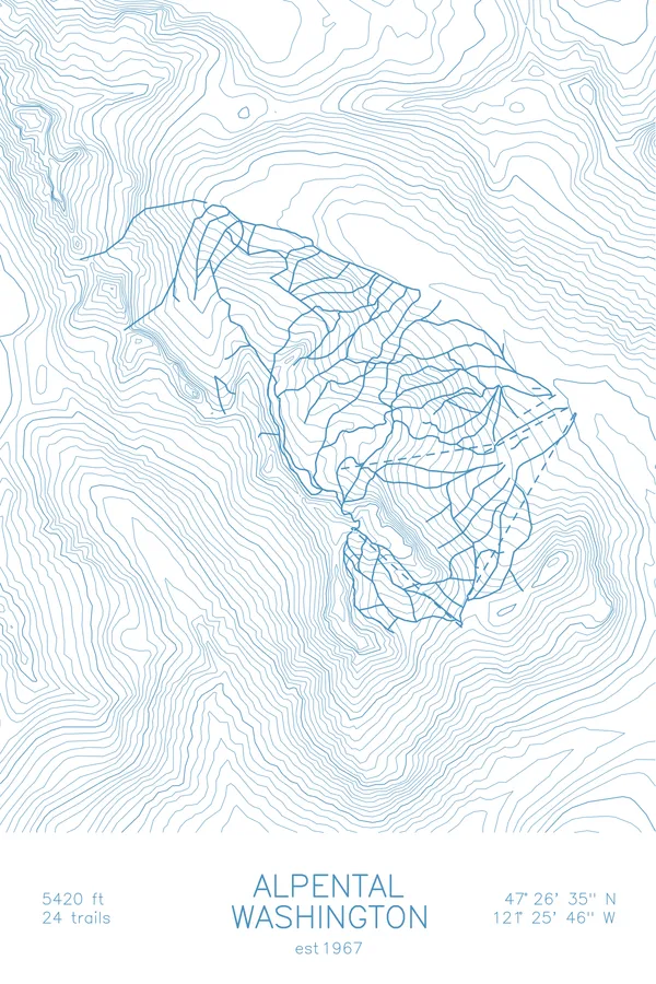
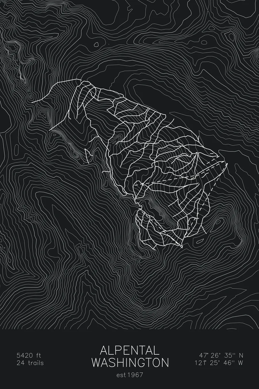
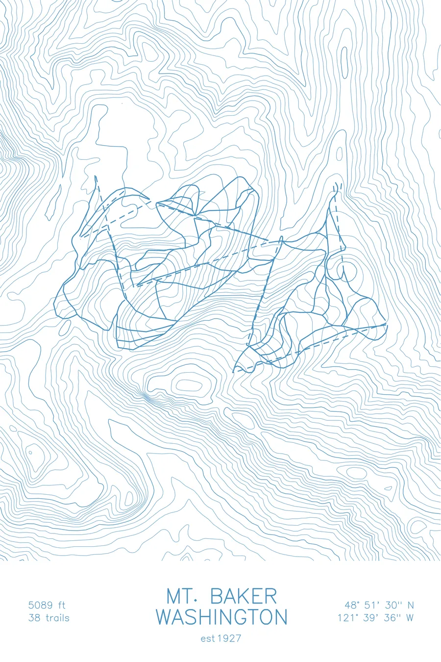
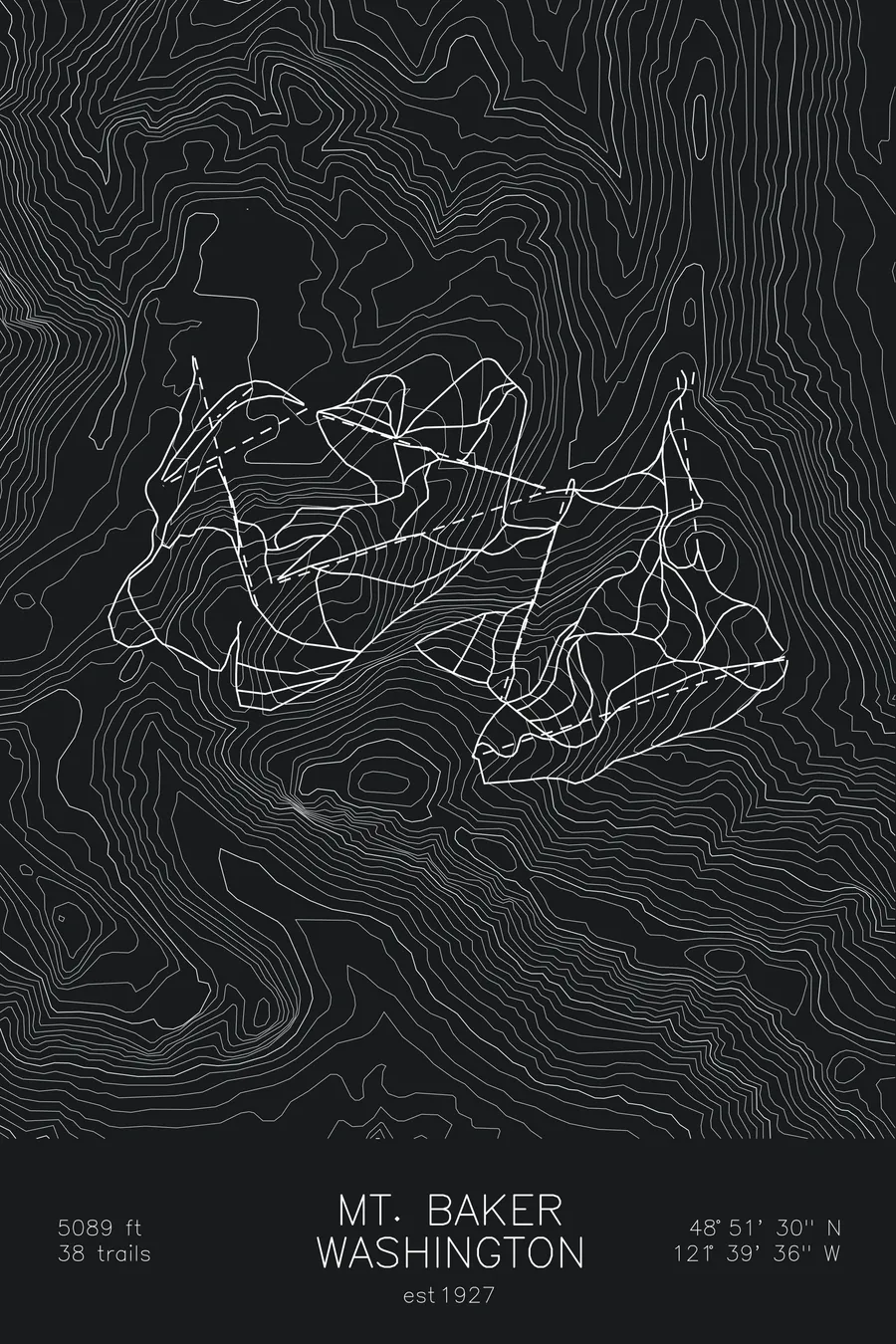
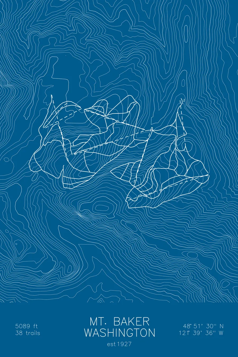
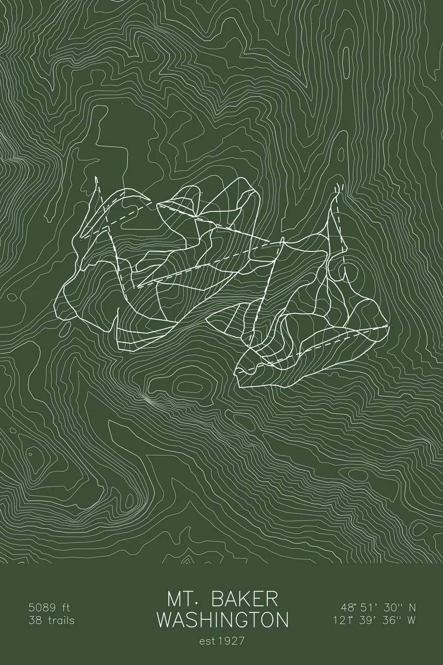
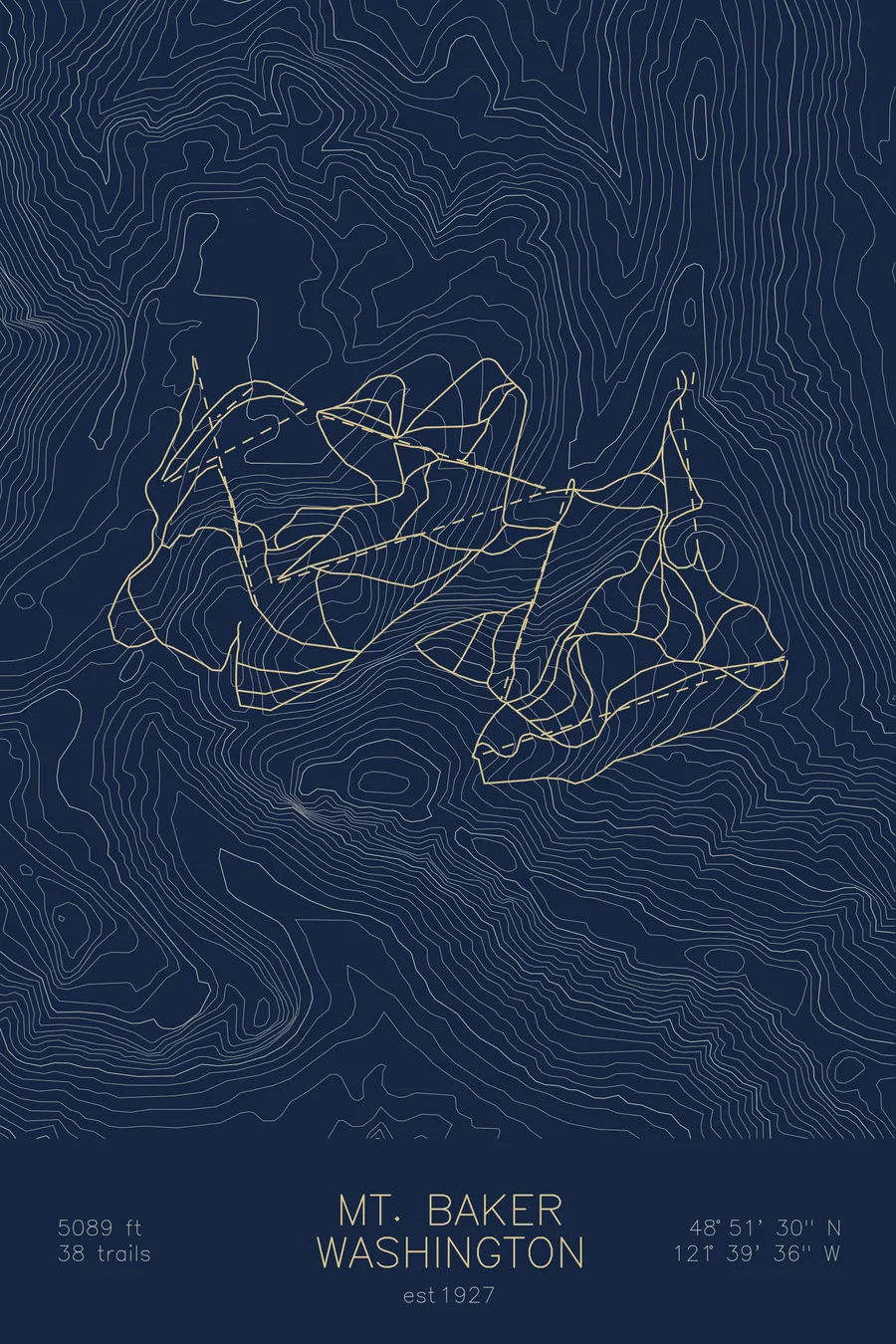
A topographic ski map of Mt. Baker Ski Area, Washington, with the resort's runs and lifts drawn over real terrain in a minimalist contour-line design.
Est. 1927. 38 trails. 5,089 feet above sea level.
$63
Ink & paper: Arctic White
Size: 12×18"
+Personalize this map
+ Details
- 12 × 18 inches
- Drawn on 98 lb (160 gsm) archival cotton paper
- Precision technical pens and archival inks
- Signed and dated on the back
- Ships flat, protected, ready to frame
Each map begins with elevation data and is drawn by a pen plotter in our Vermont studio. Mechanical precision, plus the texture and small imperfections of real ink on paper.
Off the screen
In real rooms



















+ About this map
Mt. Baker Ski Area holds the world record for snowfall in a single season: 1,140 inches in the winter of 1998-99. Operating since 1927 at the end of the road in Washington’s North Cascades, it remains a determinedly simple place, 38 trails, no village, and no interest in becoming anything else.
The skiing happens beneath the hanging glaciers of Mount Shuksan, one of the most photographed peaks in North America, on steep, natural terrain that helped shape modern freeriding. Its Legendary Banked Slalom is snowboarding’s most storied race. The contour lines on this map trace the deep, crumpled topography that catches all that snow.
+ Map details
- Mt. Baker Ski Area
- Washington
- United States
- Pacific Northwest
- 5,089 ft / 1,551 m
- 48.8583N 121.6600W
- Ski resort trail map
- Original pen plot, archival ink on cotton paper
- 8 × 12 in · 12 × 18 in · 18 × 24 in
- Est. 1927. 38 trails
More maps