Spain
Mulhacen
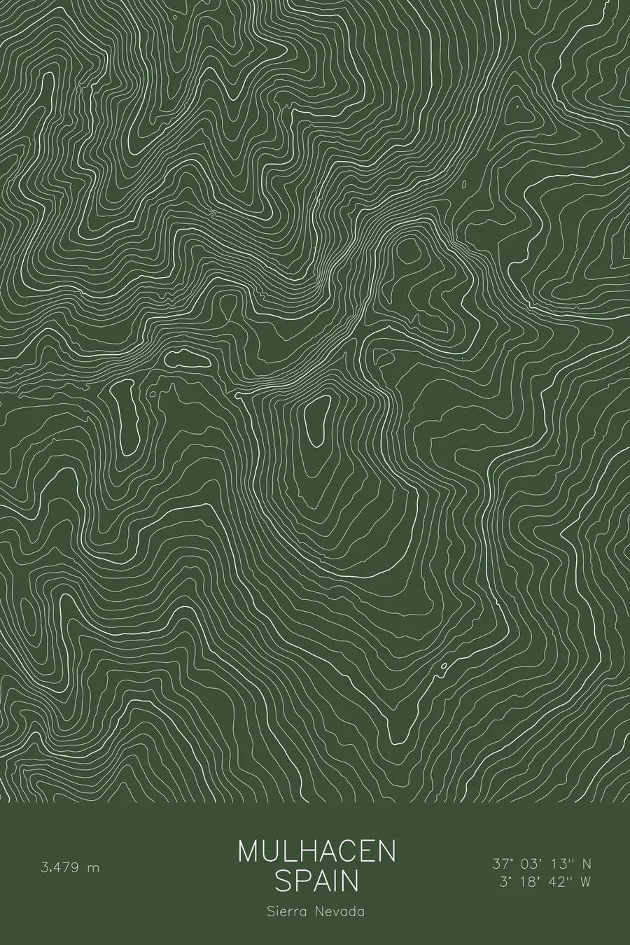
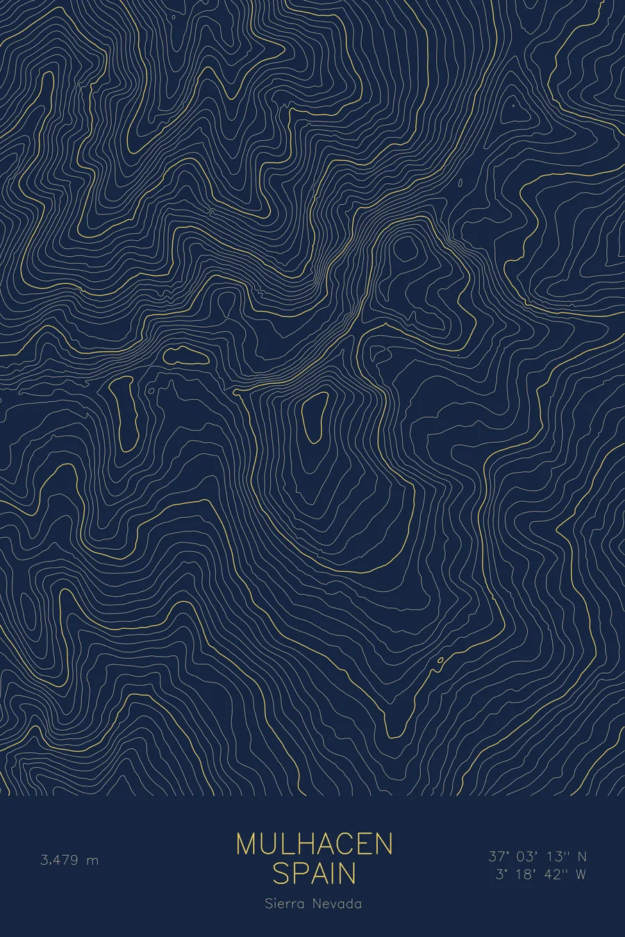
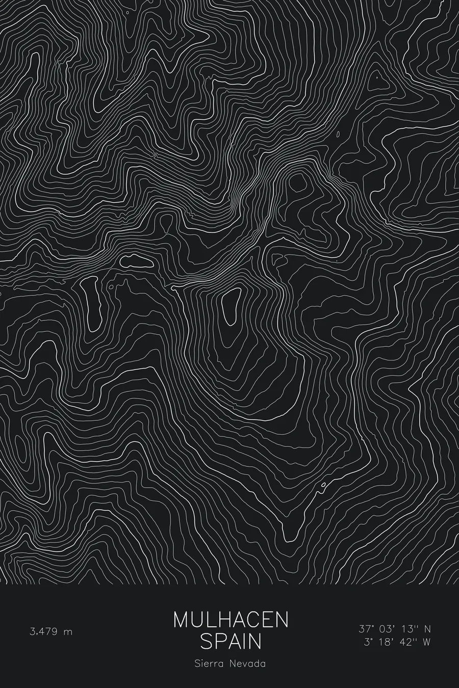
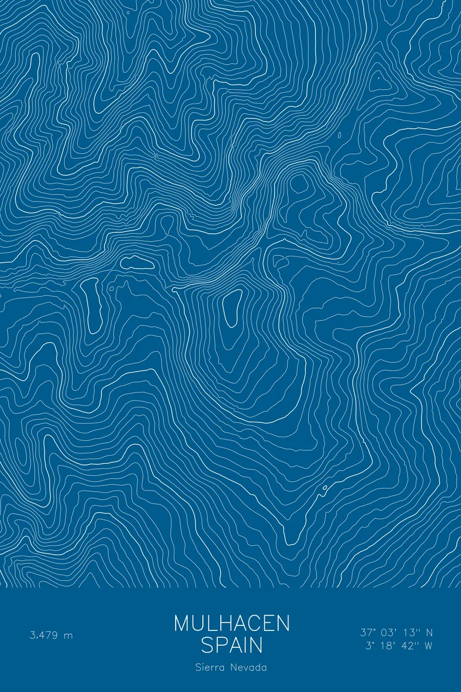
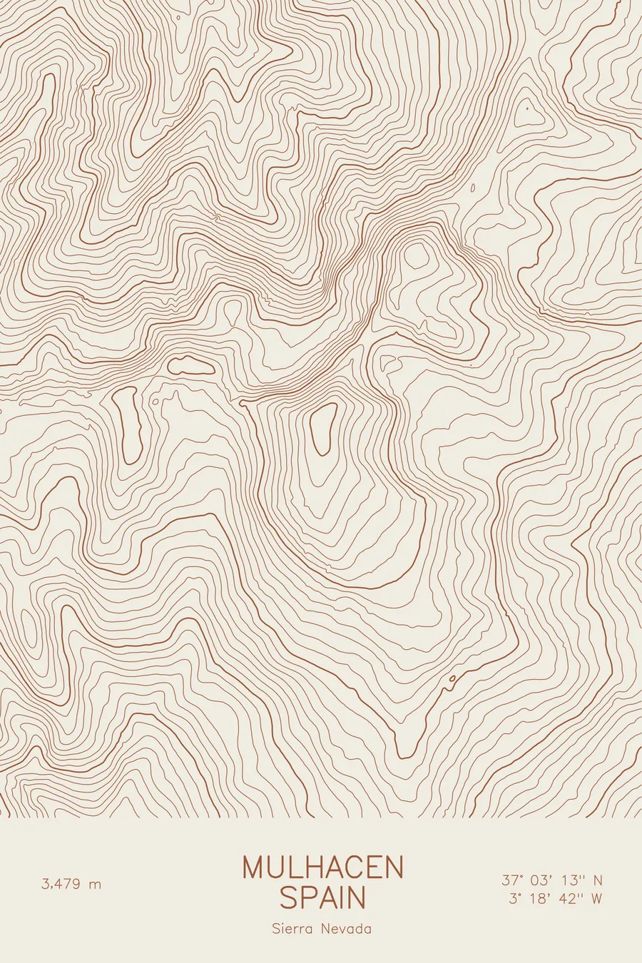
A pen-plotted topographic map of Mulhacen in the Sierra Nevada, Spain, drawn from real elevation contour data.
Highest peak in mainland Spain. 11,414 feet above sea level.
$54
Ink & paper: Cream
Size: 12×18"
+Personalize this map
+ Details
- 12 × 18 inches
- Drawn on 98 lb (160 gsm) archival cotton paper
- Precision technical pens and archival inks
- Signed and dated on the back
- Ships flat, protected, ready to frame
Each map begins with elevation data and is drawn by a pen plotter in our Vermont studio. Mechanical precision, plus the texture and small imperfections of real ink on paper.
Off the screen
In real rooms



















+ About this map
Mulhacen rises 11,414 feet in the Sierra Nevada of Andalusia, the highest peak in mainland Spain and on the Iberian Peninsula. It takes its name from Muley Hacen, a fifteenth-century sultan of Granada said by legend to be buried on the summit. The mountain stands over one of the most unusual settings in Europe: the Alhambra and the city of Granada lie to the northwest, the white villages of the Alpujarras climb its southern foothills, and on clear days the Mediterranean is visible from the top.
This map shows a mountain with two personalities. On the south side the contour lines descend in long, patient intervals, the broad slope that makes the ordinary route a walk rather than a climb. On the north side they compress abruptly, tracing the glacially carved face that drops toward high lake basins and the neighboring summits of the Sierra Nevada crest, including Veleta to the west.
+ Map details
- Mulhacen
- Spain
- Sierra Nevada
- Sierra Nevada
- 11,414 ft / 3,479 m
- 37.0536N 3.3117W
- Mountain topographic map
- Original pen plot, archival ink on cotton paper
- 8 × 12 in · 12 × 18 in · 18 × 24 in
- Highest peak in mainland Spain
More maps