Washington
Olympic National Park
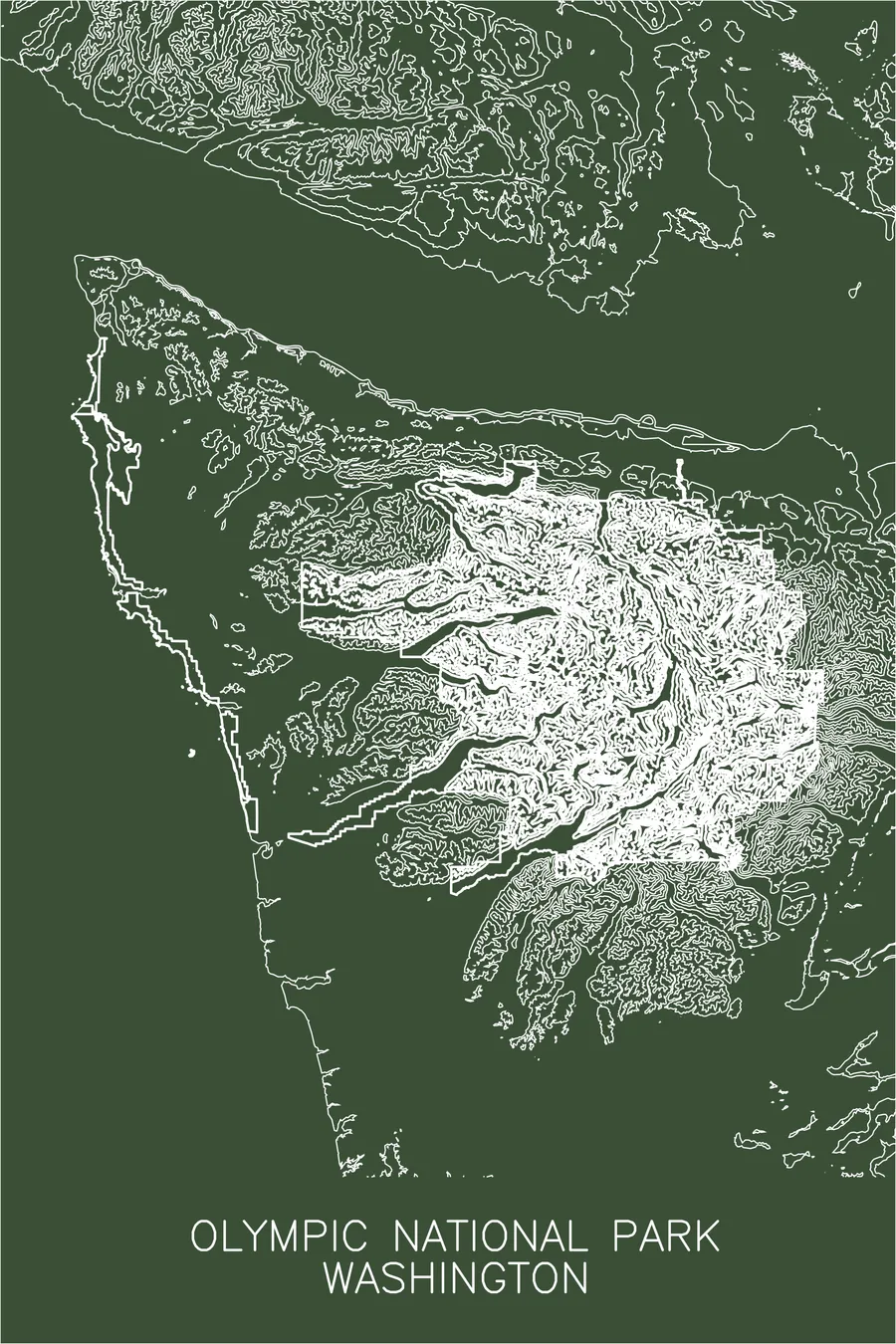
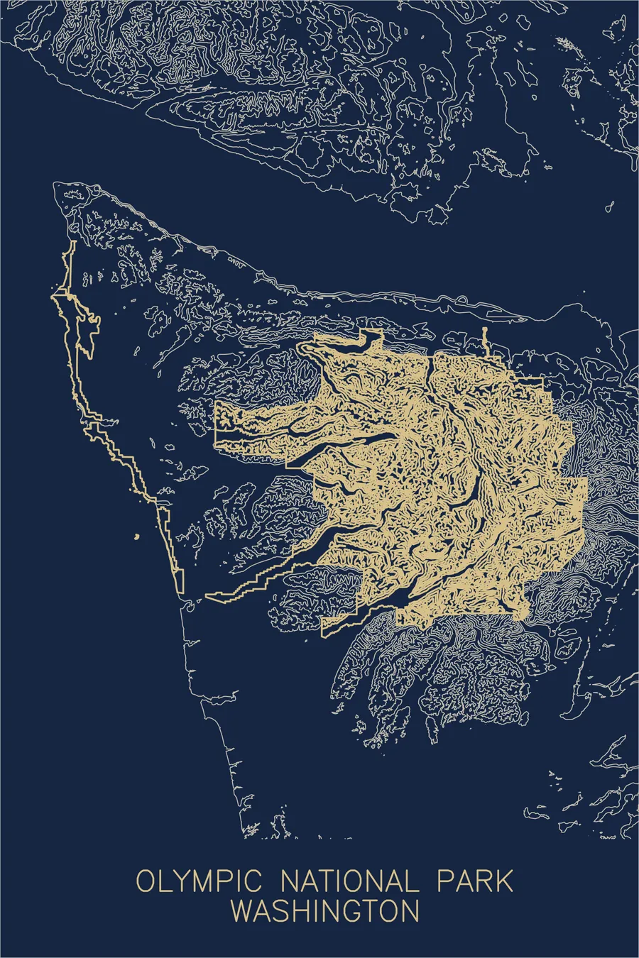
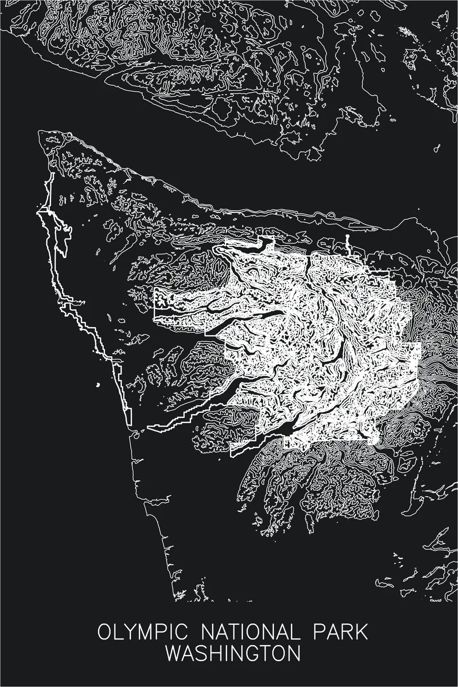
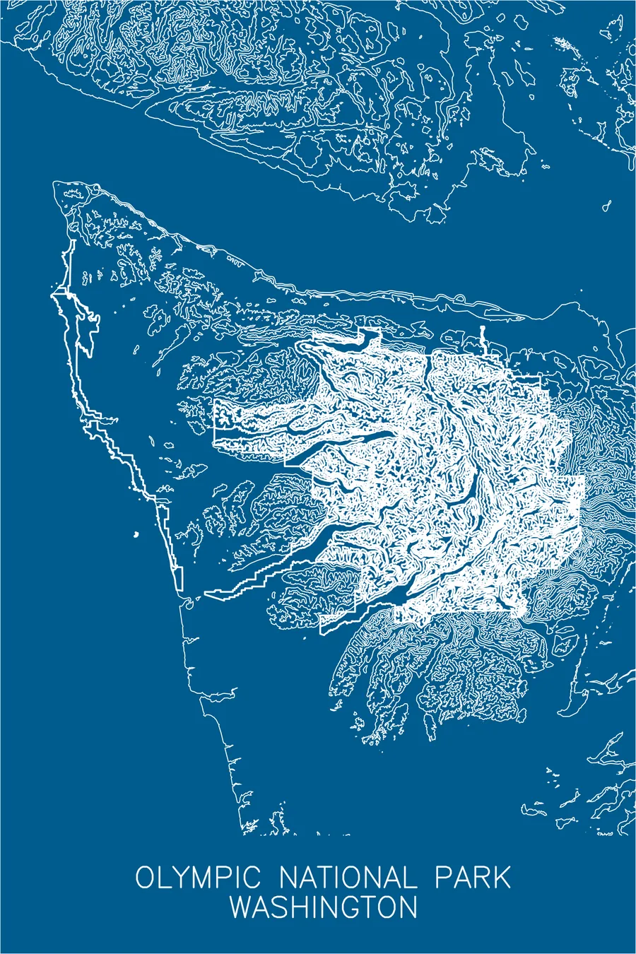
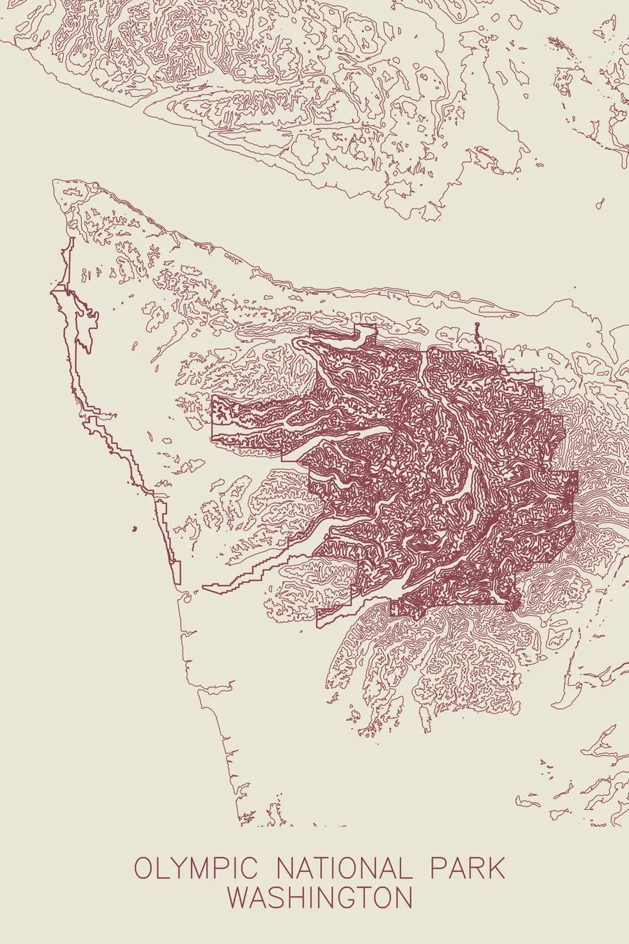
A pen-plotted topographic map of Olympic National Park, Washington, drawn from real elevation contour data.
Protected in 1909 by Theodore Roosevelt, largely for the sake of the Roosevelt elk.
$54
Ink & paper: Blue
+Personalize this map
+ Details
- 12 × 18 inches
- Drawn on 98 lb (160 gsm) archival cotton paper
- Precision technical pens and archival inks
- Signed and dated on the back
- Ships flat, protected, ready to frame
Each map begins with elevation data and is drawn by a pen plotter in our Vermont studio. Mechanical precision, plus the texture and small imperfections of real ink on paper.
Off the screen
In real rooms



















+ About this map
Olympic National Park began with a president protecting an elk named after him. In December 1897 the mammalogist C. Hart Merriam named the Roosevelt elk for his friend Theodore Roosevelt, at a time when the subspecies numbered in the hundreds of thousands along the Pacific coast; by about 1900, market and tusk hunters had cut the Olympic Peninsula herds to fewer than 500 animals. The first park bill Congress took up, in 1904, was titled “The Elk National Park.” On March 2, 1909 Roosevelt created Mount Olympus National Monument, primarily to save the animal that carried his name.
The map shows a compact cluster of mountains rather than a linear range. Contour lines knot together around Mount Olympus at the center, then unwind along the river valleys that drain outward in every direction, including the Hoh, the Elwha, the Quinault, and the Dosewallips. That radial pattern, rivers spreading from a single icy core toward the sea, is the signature of the Olympics and the organizing logic of the print.
+ Map details
- Olympic National Park
- Washington
- United States
- Pacific Northwest
- 7,980 ft / 2,432 m
- 47.9701N 123.4996W
- National park topographic map
- Original pen plot, archival ink on cotton paper
- 12 × 18 in
- Glaciated peaks, temperate rainforest, and wilderness coast in one park
More maps