Vermont
Pico Mountain
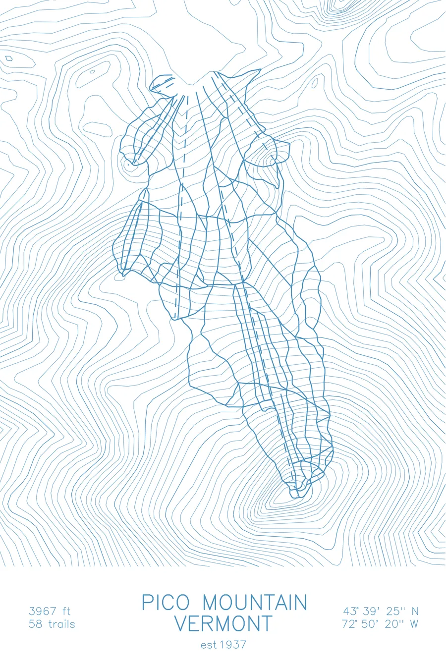
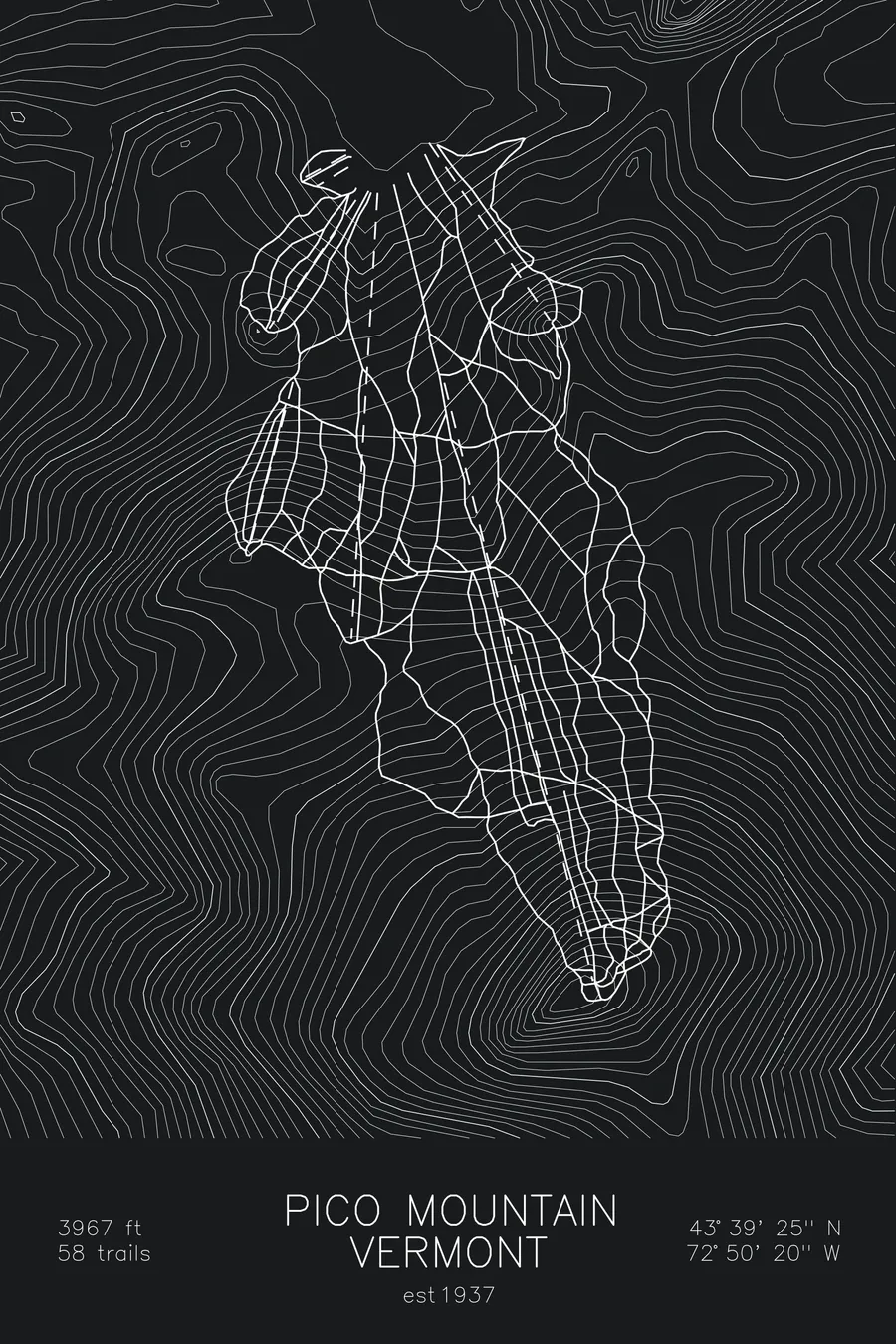
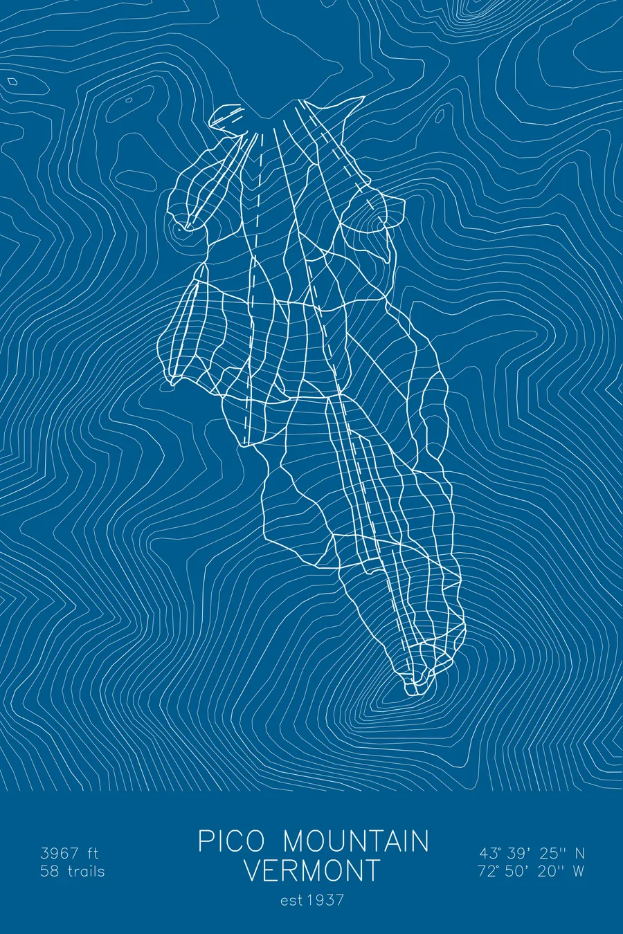
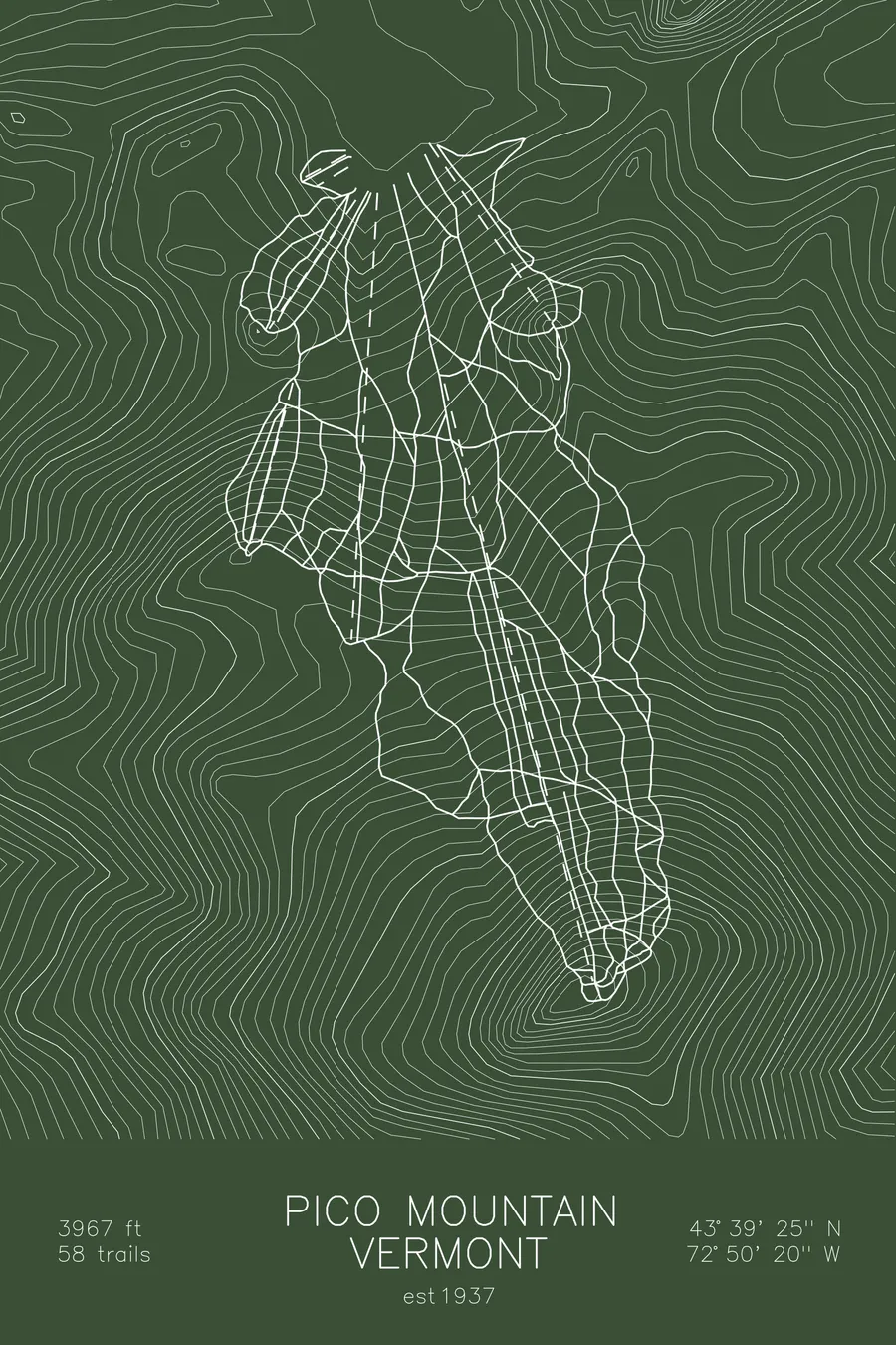
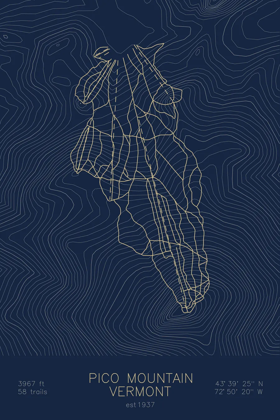
A topographic ski map of Pico Mountain, Vermont, with the resort's runs and lifts drawn over real terrain in a minimalist contour-line design.
Est. 1937. 58 trails. 3,967 feet above sea level.
$63
Ink & paper: Arctic White
Size: 12×18"
+Personalize this map
+ Details
- 12 × 18 inches
- Drawn on 98 lb (160 gsm) archival cotton paper
- Precision technical pens and archival inks
- Signed and dated on the back
- Ships flat, protected, ready to frame
Each map begins with elevation data and is drawn by a pen plotter in our Vermont studio. Mechanical precision, plus the texture and small imperfections of real ink on paper.
Off the screen
In real rooms



















+ About this map
Pico Mountain is Killington’s quieter neighbor in central Vermont, a classic New England ski hill that has kept its old-school character while the giant next door grew into the Beast of the East. Founded in 1937, it’s one of Vermont’s oldest ski areas, and its 58 trails drop nearly 2,000 vertical feet down a single well-defined peak: honest fall-line skiing, narrow winding runs, and glades, without the crowds.
Though owned by Killington and connected to it by ridgeline, Pico runs on its own schedule with its own loyal following, the kind of place where regulars know each other by name. The contour map shows Pico’s cone standing beside the sprawling Killington massif along the spine of the Green Mountains.
+ Map details
- Pico Mountain
- Vermont
- United States
- New England
- 3,967 ft / 1,209 m
- 43.6569N 72.8389W
- Ski resort trail map
- Original pen plot, archival ink on cotton paper
- 8 × 12 in · 12 × 18 in · 18 × 24 in
- Est. 1937. 58 trails
More maps