Colorado
Pikes Peak
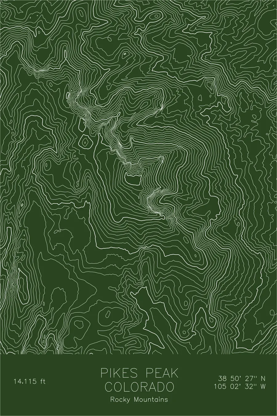
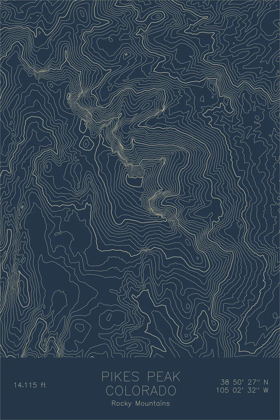
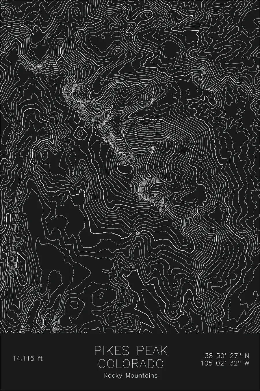
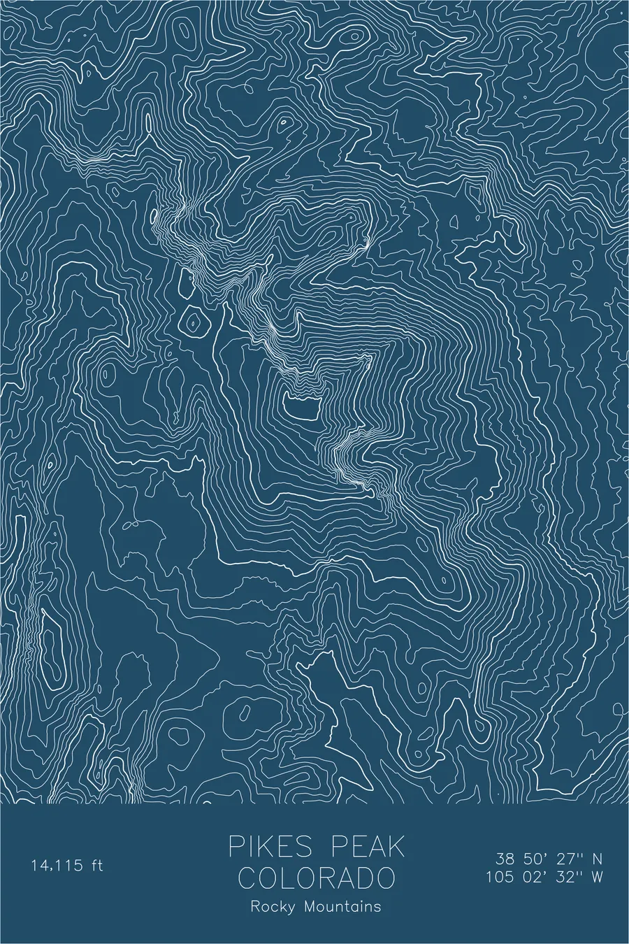
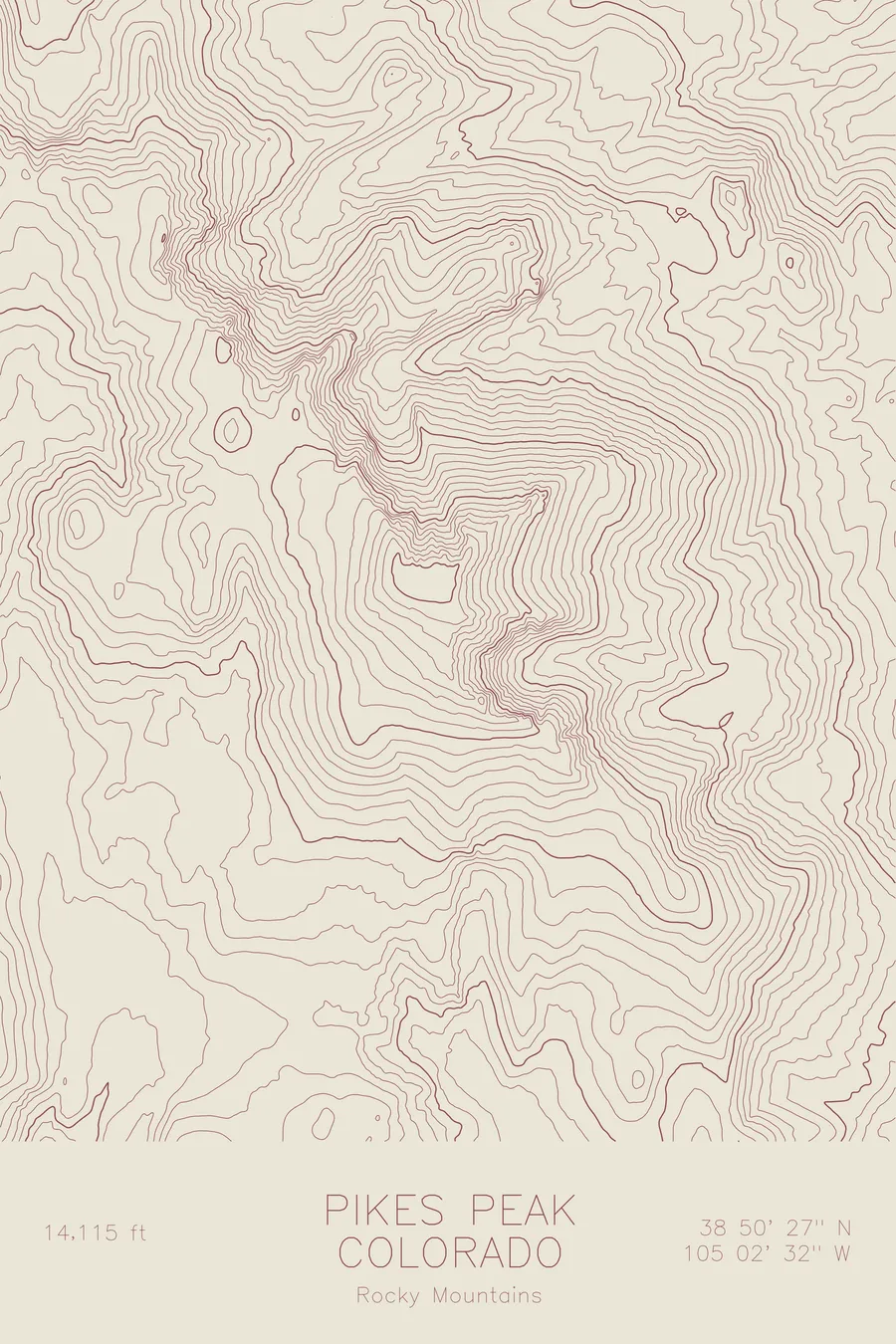
A pen-plotted topographic map of Pikes Peak in the Rocky Mountains, Colorado, drawn from real elevation contour data.
The summit that inspired 'America the Beautiful', the most visited fourteener in North America. 14,115 feet above sea level.
$54
Ink & paper: Black
Size: 12×18"
+Personalize this map
+ Details
- 12 × 18 inches
- Drawn on 98 lb (160 gsm) archival cotton paper
- Precision technical pens and archival inks
- Signed and dated on the back
- Ships flat, protected, ready to frame
Each map begins with elevation data and is drawn by a pen plotter in our Vermont studio. Mechanical precision, plus the texture and small imperfections of real ink on paper.
Off the screen
In real rooms



















+ About this map
Pikes Peak rises 14,115 feet at the eastern edge of the Colorado Rockies, the most prominent summit on the Front Range and the mountain that has arguably shaped American perception of the West more than any other. Katharine Lee Bates wrote “America the Beautiful” after reaching the summit in 1893, and the peak has been accessible by cog railway since 1891 and by highway since 1915, making it the most visited fourteener on the continent.
This map reveals why the mountain dominates the view from the plains. The contour lines show Pikes Peak rising as a massive, isolated block from the Great Plains to the east, rising more than 8,000 feet above the plains at its base, a vertical sweep few peaks in Colorado can match. The eastern slopes fall steeply through a series of deep ravines and rocky outcrops, while the western side connects to the broader highland of the Rockies through a more gradual series of ridges and basins.
+ Map details
- Pikes Peak
- Colorado
- United States
- Rocky Mountains
- Rocky Mountains
- 14,115 ft / 4,302 m
- 38.8409N 105.0423W
- Mountain topographic map
- Original pen plot, archival ink on cotton paper
- 8 × 12 in · 12 × 18 in · 18 × 24 in
- The summit that inspired 'America the Beautiful', the most visited fourteener in North America
More maps