Utah
Powder Mountain
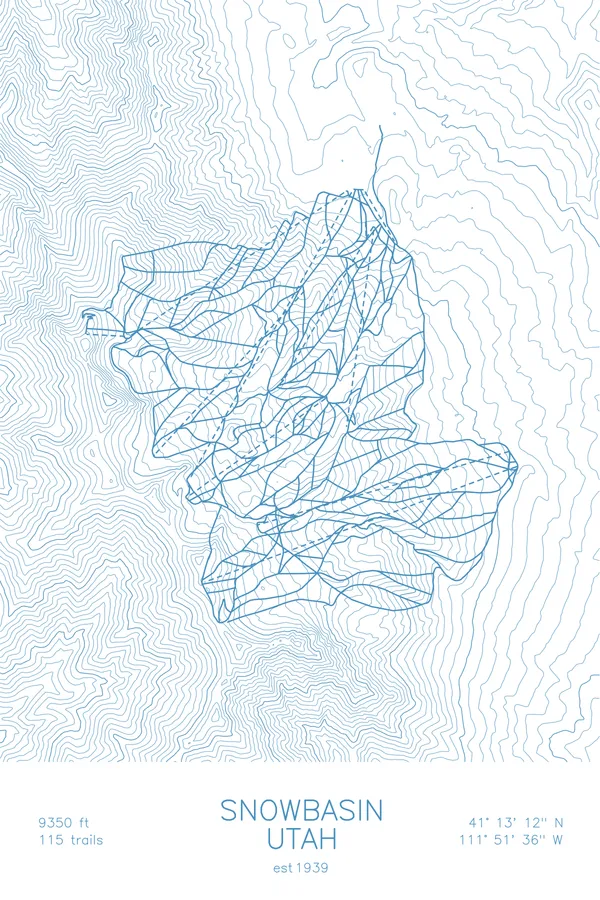
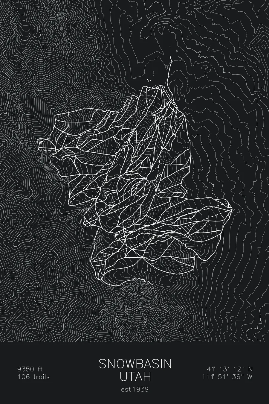
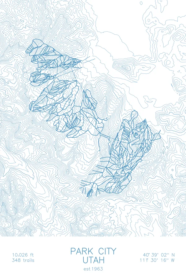
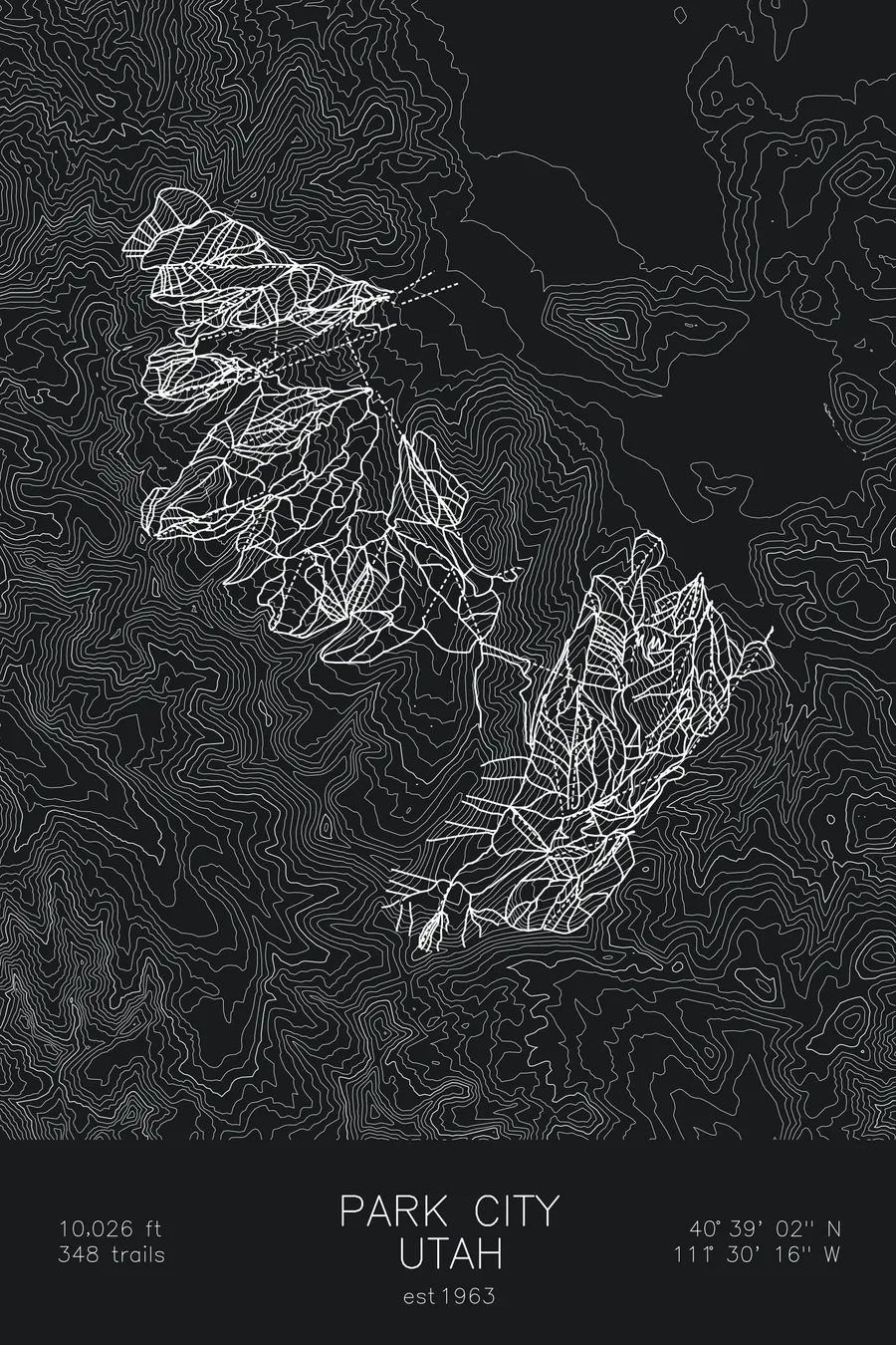
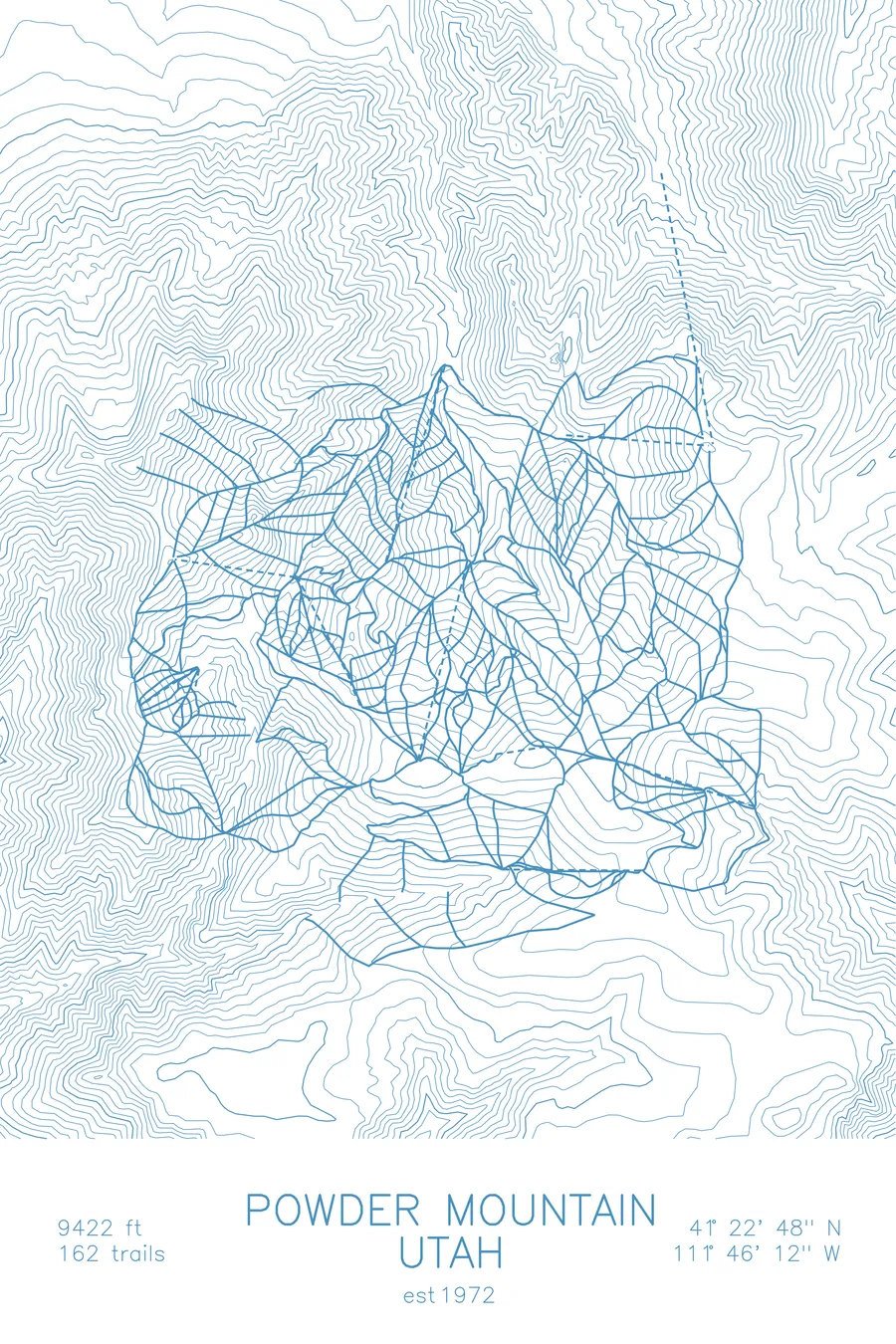
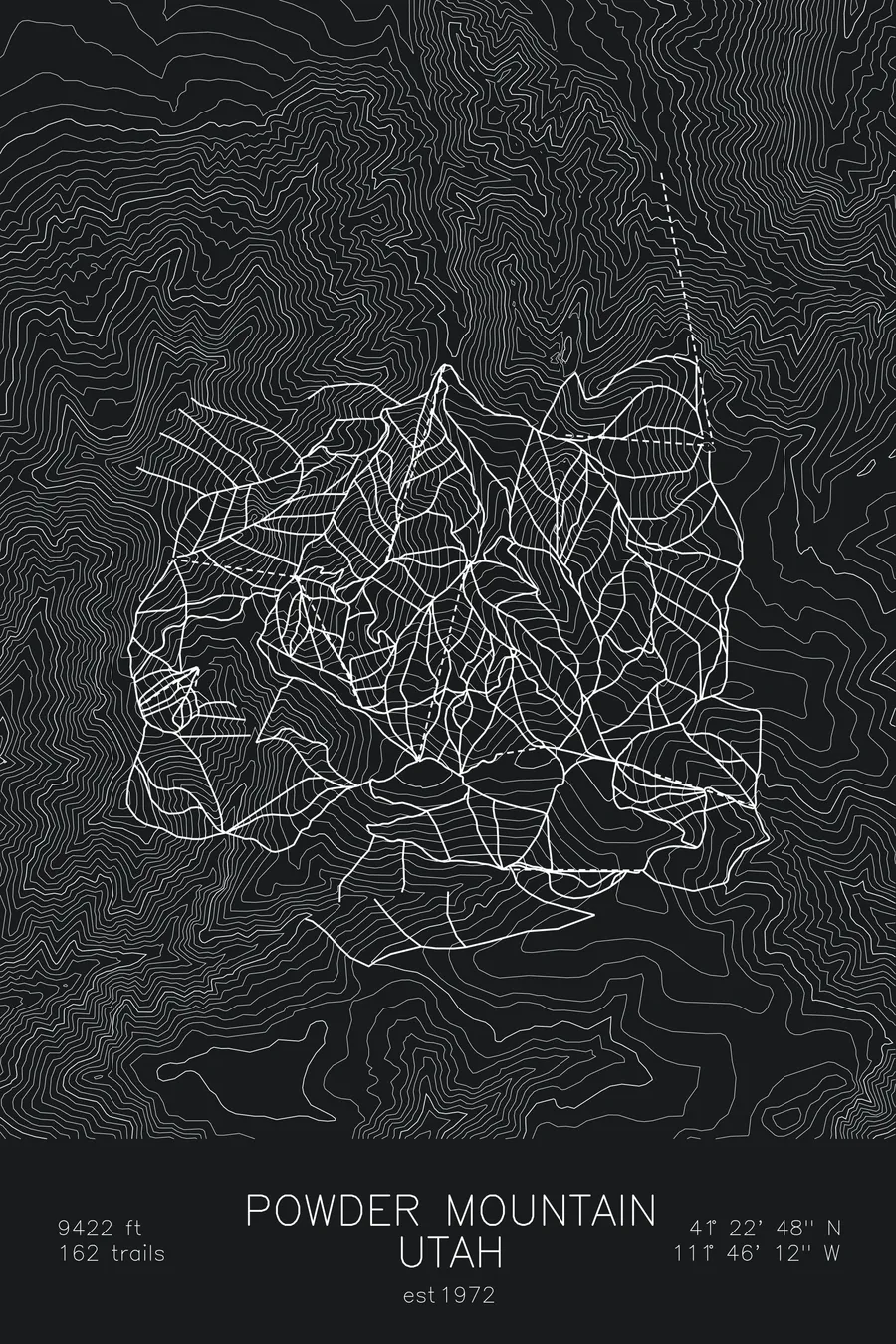
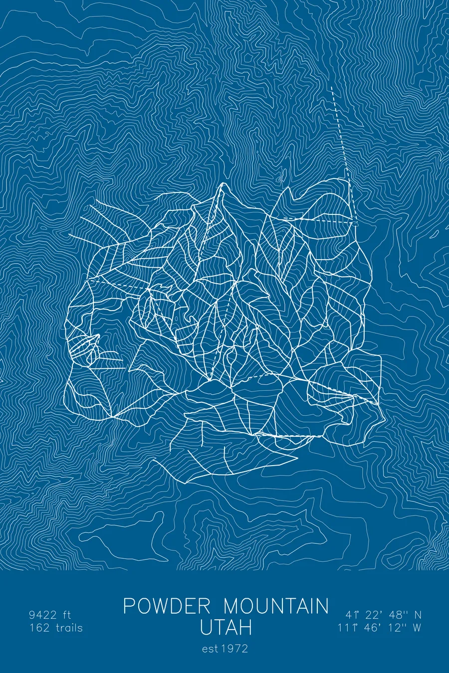
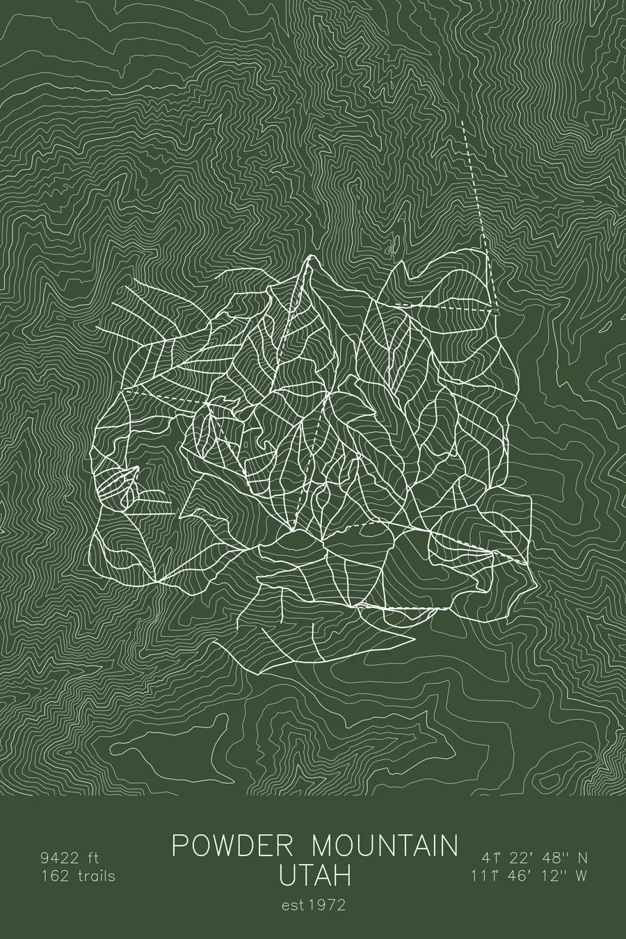
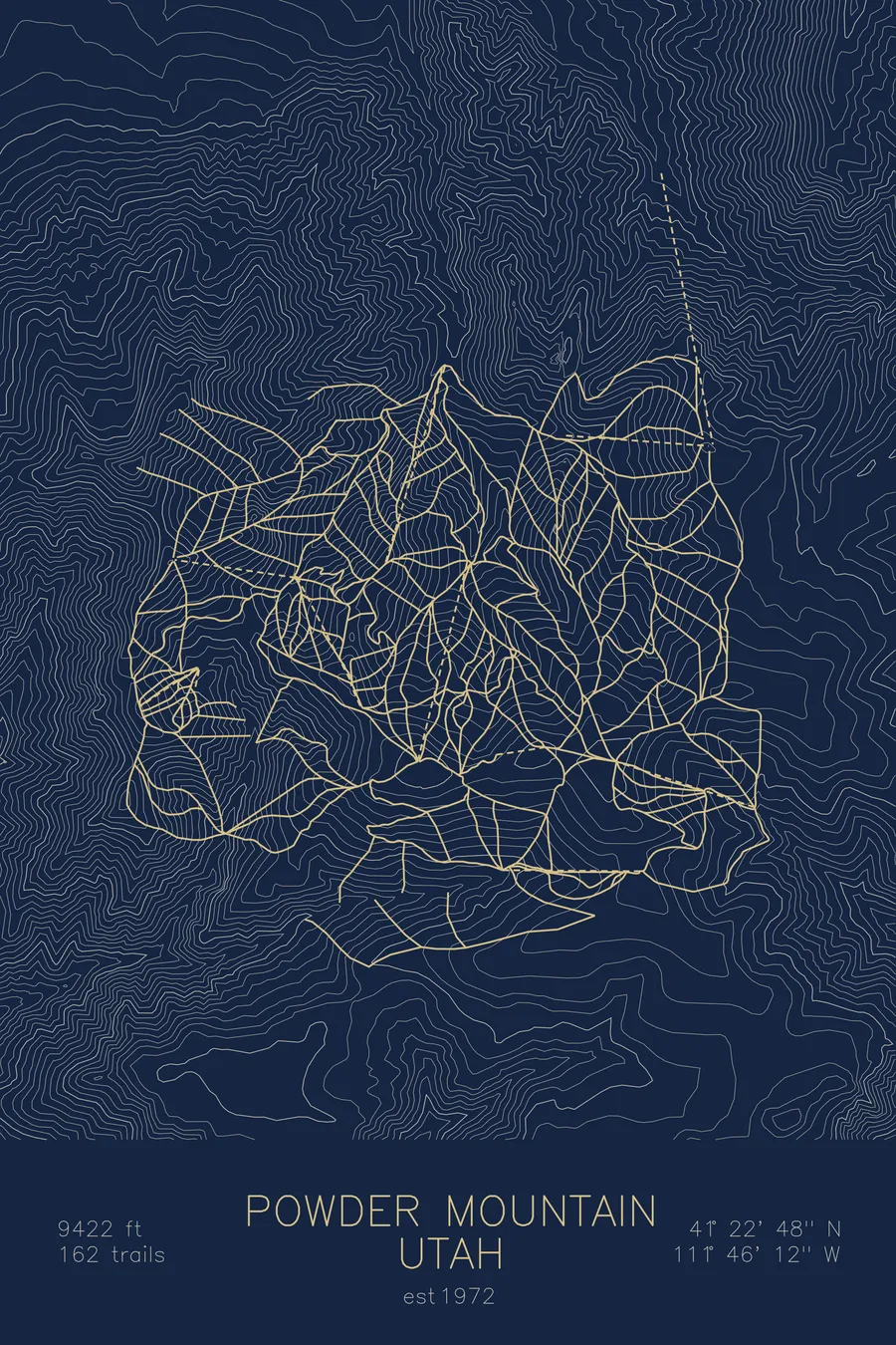
A topographic ski map of Powder Mountain, Utah, with the resort's runs and lifts drawn over real terrain in a minimalist contour-line design.
Est. 1972. 162 trails. 9,422 feet above sea level.
$63
Ink & paper: Arctic White
Size: 12×18"
+Personalize this map
+ Details
- 12 × 18 inches
- Drawn on 98 lb (160 gsm) archival cotton paper
- Precision technical pens and archival inks
- Signed and dated on the back
- Ships flat, protected, ready to frame
Each map begins with elevation data and is drawn by a pen plotter in our Vermont studio. Mechanical precision, plus the texture and small imperfections of real ink on paper.
Off the screen
In real rooms



















+ About this map
Powder Mountain sprawls across the high plateau above Utah’s Ogden Valley, with one of the largest skiable footprints in North America. Founded in 1972, it has stayed deliberately low-key: ticket sales are capped, lift lines are rare, and much of its terrain is reached by cat skiing or long traverses rather than high-speed lifts. Its 162 trails top out at 9,422 feet, where rolling bowls and open glades hold the light, dry snow the name promises.
The contour map captures the broad, gentle summit plateau and the drainages spilling off its edges, terrain that skis far bigger than it looks.
+ Map details
- Powder Mountain
- Utah
- United States
- Rocky Mountains
- 9,422 ft / 2,872 m
- 41.3800N 111.7700W
- Ski resort trail map
- Original pen plot, archival ink on cotton paper
- 8 × 12 in · 12 × 18 in · 18 × 24 in
- Est. 1972. 162 trails
More maps