Colorado
Rocky Mountain National Park
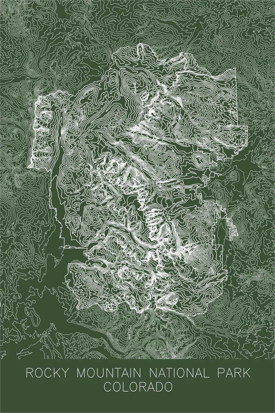
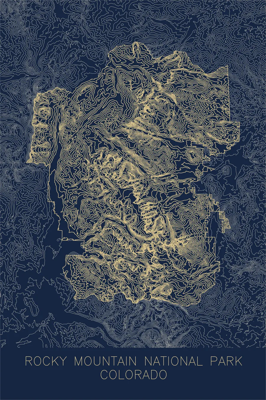
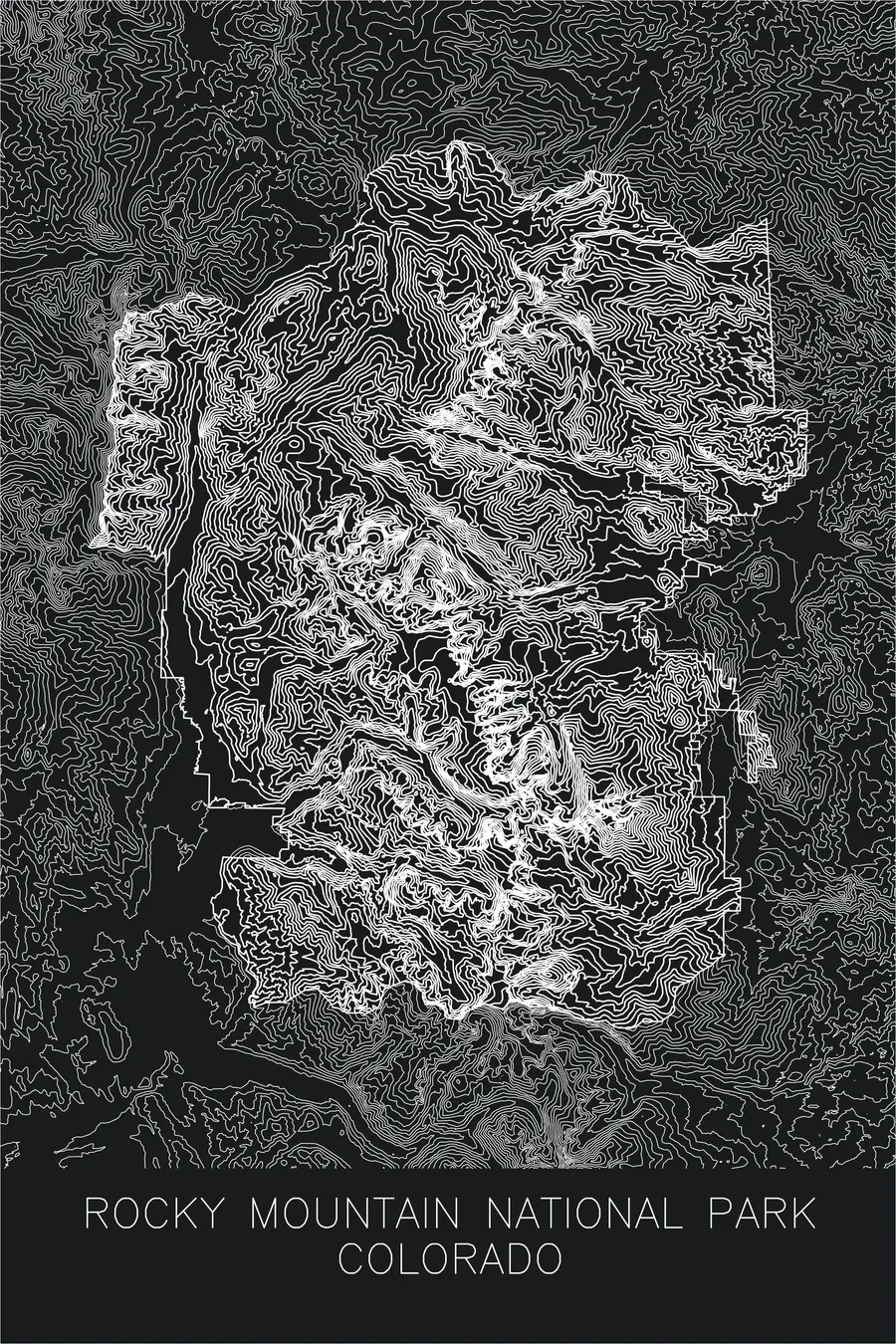
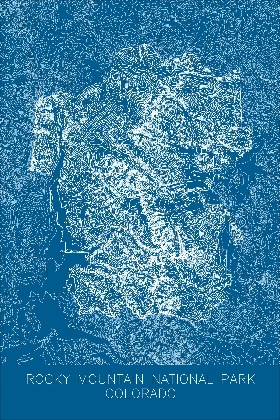
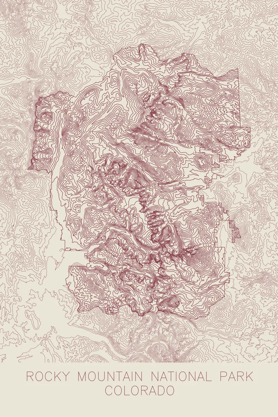
A pen-plotted topographic map of Rocky Mountain National Park, Colorado, drawn from real elevation contour data.
Over 60 peaks above 12,000 feet along the Continental Divide.
$54
Ink & paper: Blue
+Personalize this map
+ Details
- 12 × 18 inches
- Drawn on 98 lb (160 gsm) archival cotton paper
- Precision technical pens and archival inks
- Signed and dated on the back
- Ships flat, protected, ready to frame
Each map begins with elevation data and is drawn by a pen plotter in our Vermont studio. Mechanical precision, plus the texture and small imperfections of real ink on paper.
Off the screen
In real rooms



















+ About this map
Rocky Mountain National Park sits astride the Continental Divide in northern Colorado, a concentration of high country with more than 60 peaks above 12,000 feet. About a third of the park lies above treeline, an expanse of alpine tundra crossed by Trail Ridge Road, the highest continuous paved road in the United States. The park’s high point is Longs Peak at 14,259 feet, the northernmost fourteener in the Rockies and the flat-topped summit that anchors the skyline above Estes Park.
The map is organized around the Divide, which runs through the park as a sinuous crest separating waters bound for the Atlantic from waters bound for the Pacific. On its west side, the contour lines open into the Kawuneeche Valley, where the Colorado River begins as a mountain stream. To the east, the lines tighten into the glacial cirques and gorges below Longs Peak, and the ridges of the Mummy Range fill the northern corner of the print.
+ Map details
- Rocky Mountain National Park
- Colorado
- United States
- Rocky Mountains
- 14,259 ft / 4,346 m
- 40.3428N 105.6836W
- National park topographic map
- Original pen plot, archival ink on cotton paper
- 12 × 18 in
- Over 60 peaks above 12,000 feet along the Continental Divide
More maps