Maine
Sebago Lake
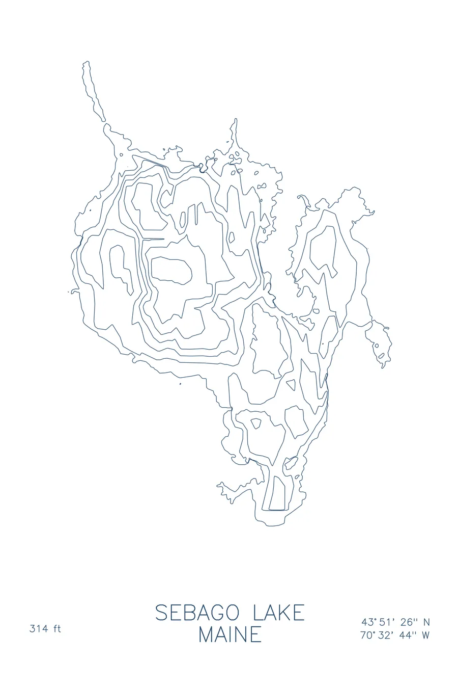
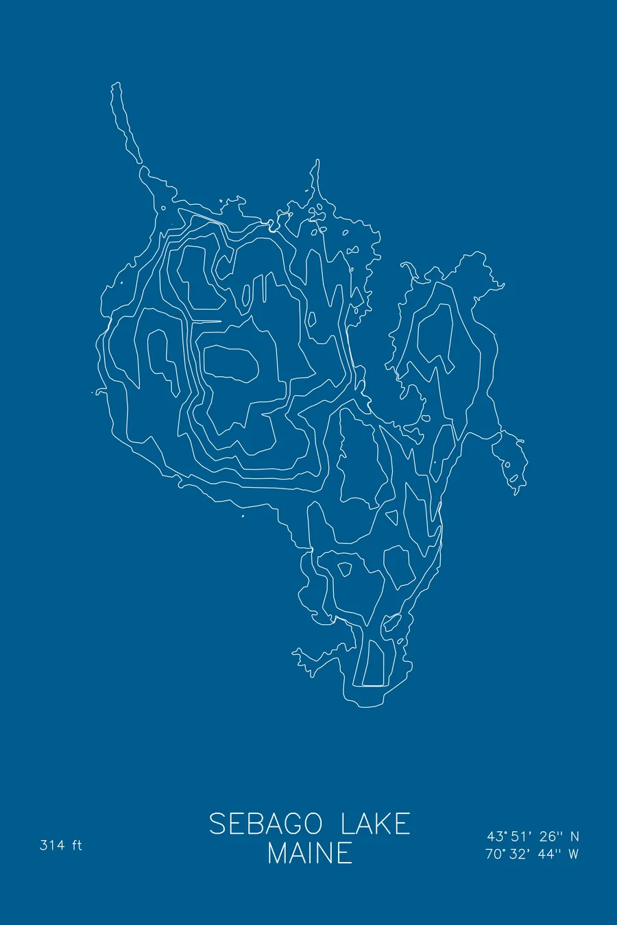
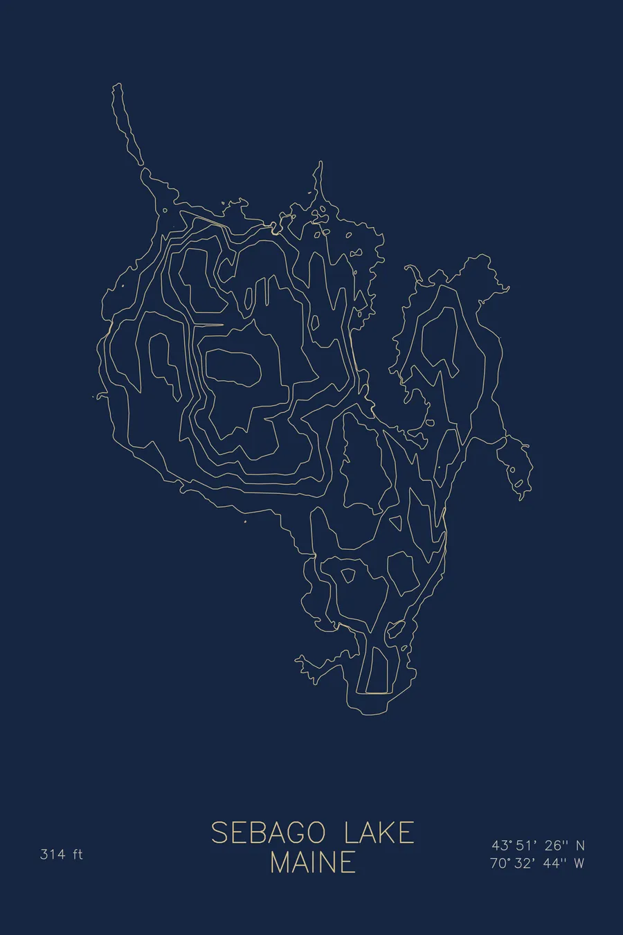
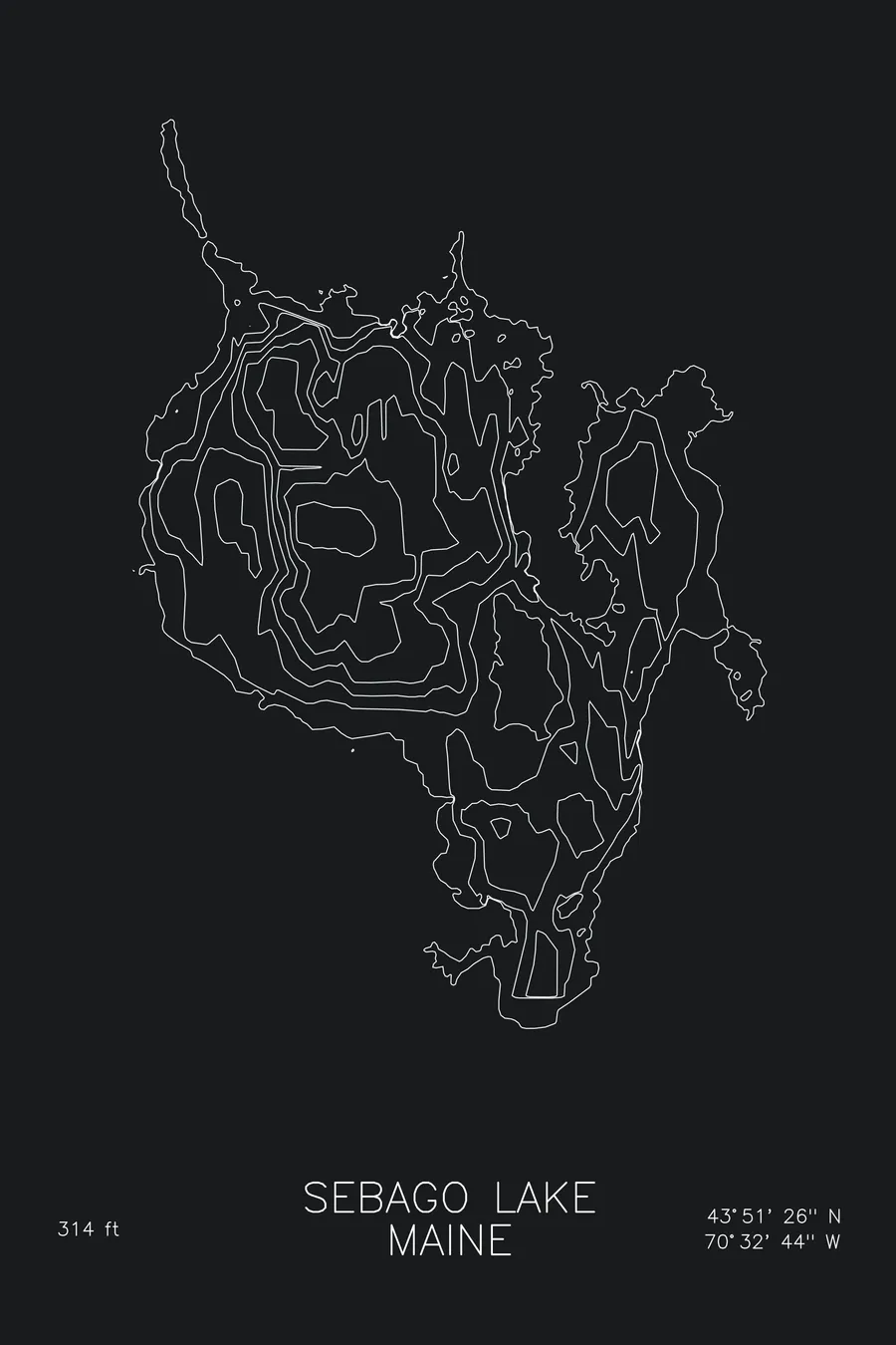
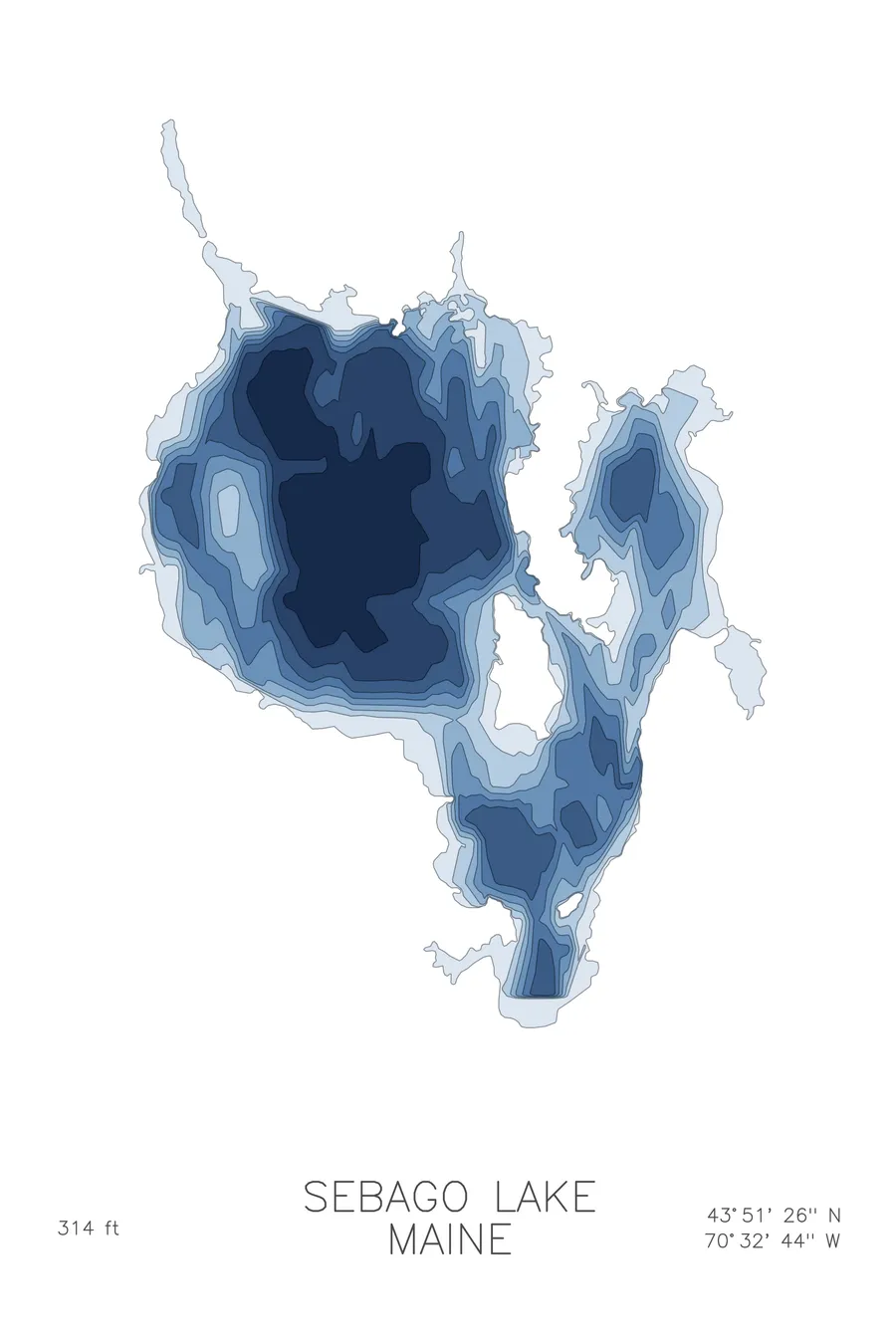
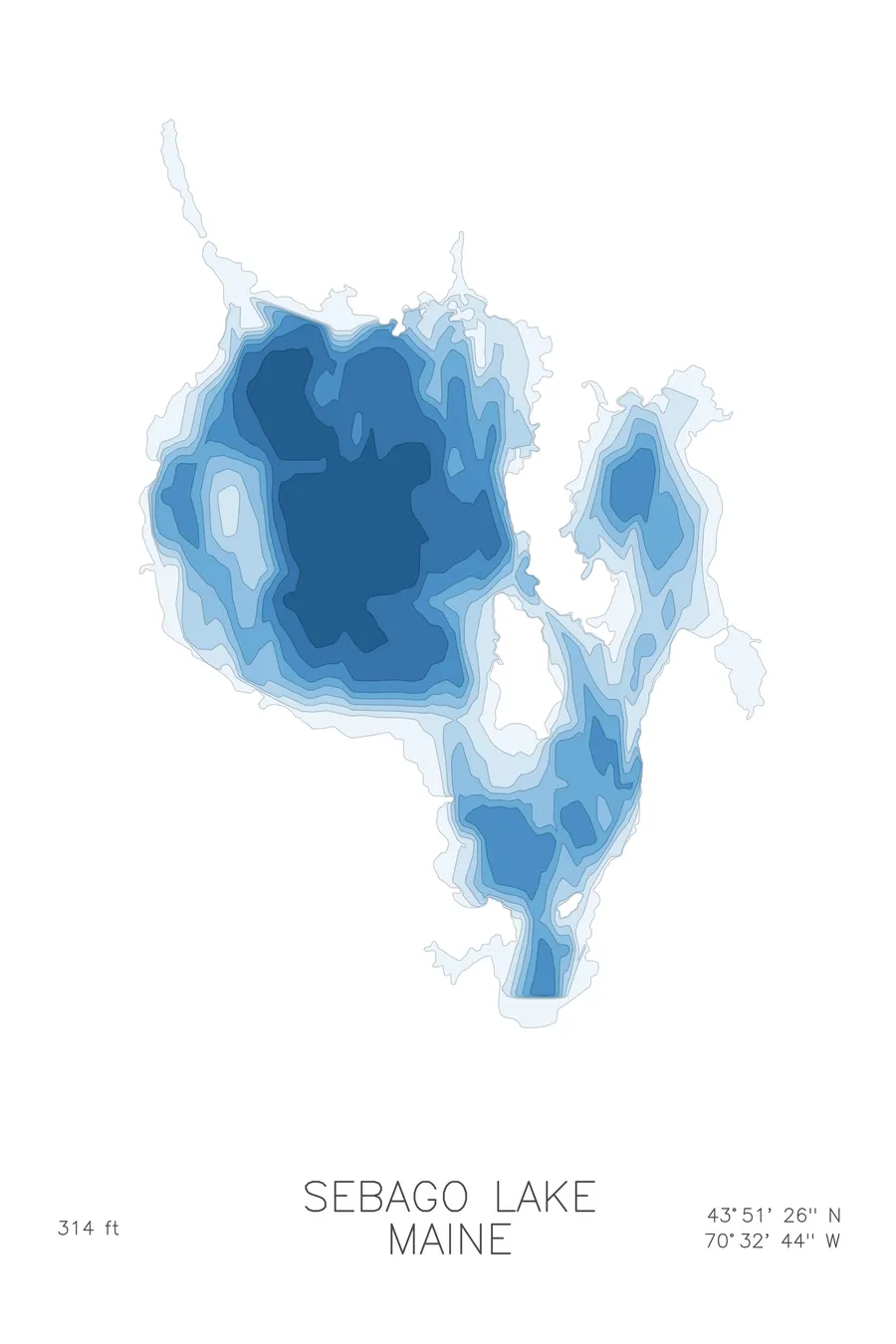
A bathymetric depth map of Sebago Lake, Maine, drawn from real lake survey data in a minimalist contour-line design.
Max depth 314 ft.
$50
Ink & paper: Lake Blue
Size: 12×18"
+Personalize this map
+ Details
- 12 × 18 inches
- Drawn on 98 lb (160 gsm) archival cotton paper
- Precision technical pens and archival inks
- Signed and dated on the back
- Ships flat, protected, ready to frame
Each map begins with elevation data and is drawn by a pen plotter in our Vermont studio. Mechanical precision, plus the texture and small imperfections of real ink on paper.
Off the screen
In real rooms



















+ About this map
Sebago Lake is Maine’s deepest lake and its second largest, a glacial basin in the lakes country northwest of Portland. Its water is clean enough to supply the Greater Portland area’s drinking water, and its shoreline gathers Frye Island, the winding Songo River connection to Long Lake, and generations of summer camps.
The depth contours center on Big Bay, where the bottom falls to 314 feet. Because the lake surface sits only 267 feet above sea level, the deepest point of Sebago lies below the level of the Atlantic, a fact the tightly stacked contours quietly record. Around that deep heart the map spreads into gentler territory: the broad shallows of Jordan Bay, the sandy flats near Sebago Lake State Park, and the narrow coves of the western shore, each traced in its own rhythm of lines.
+ Map details
- Sebago Lake
- Maine
- United States
- New England
- 43.8573N 70.5455W
- Lake bathymetric depth map
- Original pen plot, archival ink on cotton paper
- 8 × 12 in · 12 × 18 in · 18 × 24 in
- Max depth 314 ft
More maps