New York
Seneca Lake
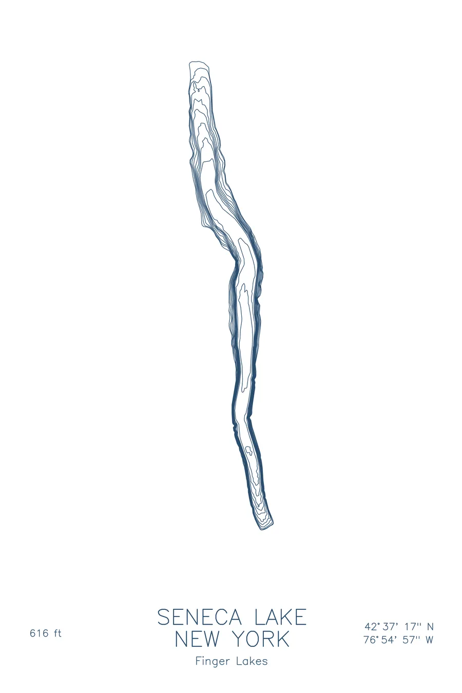
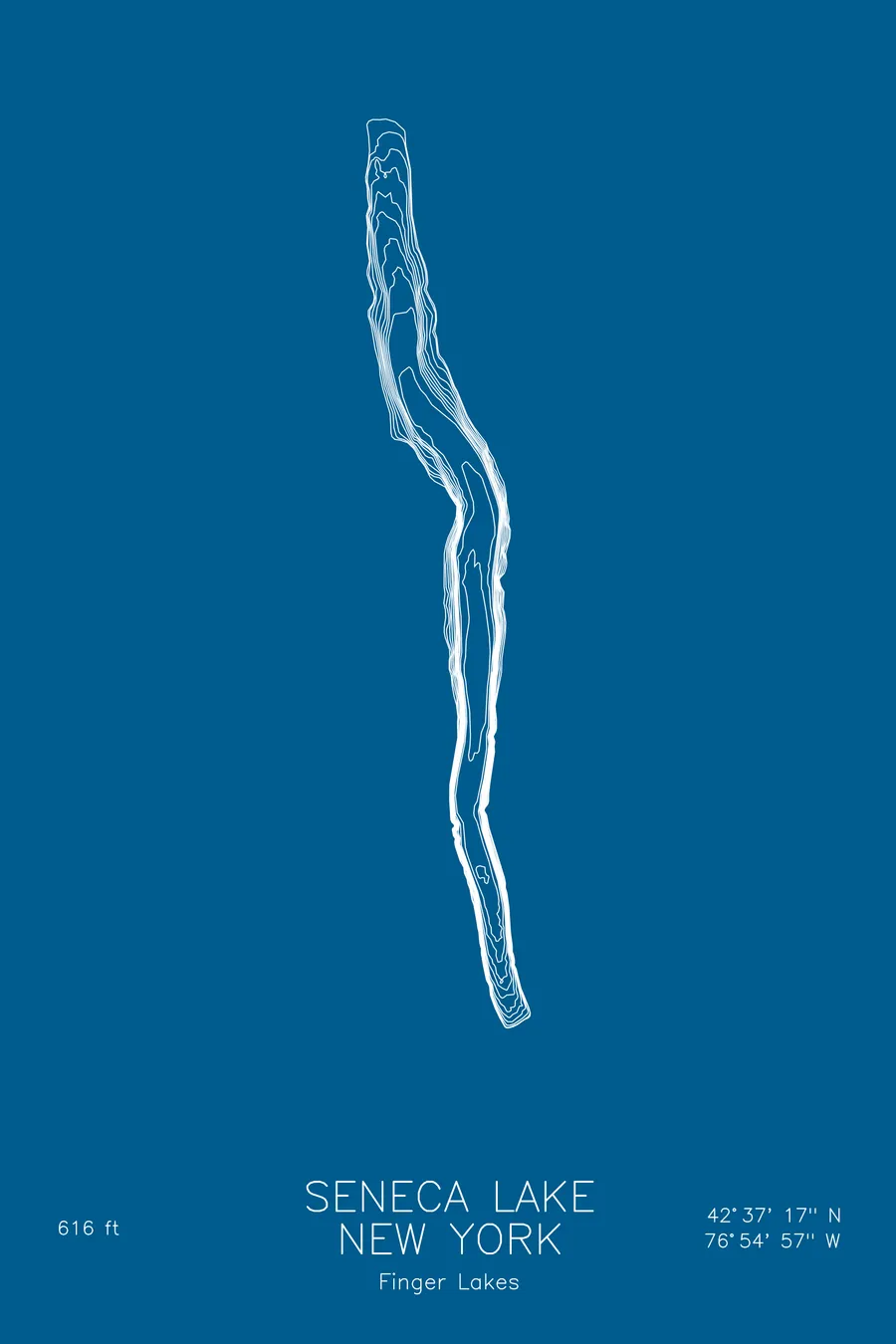
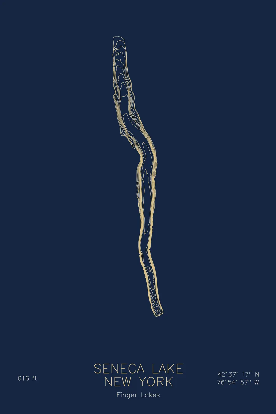
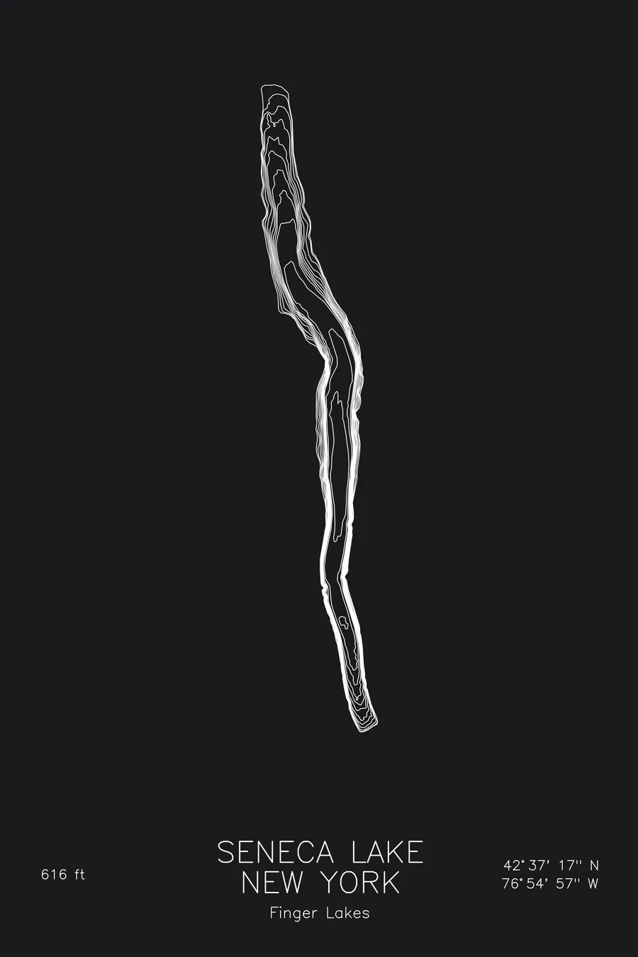
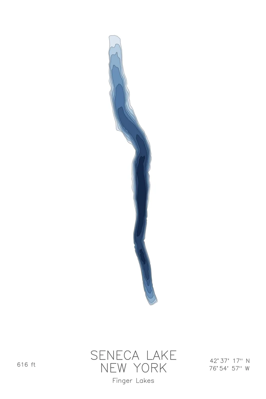
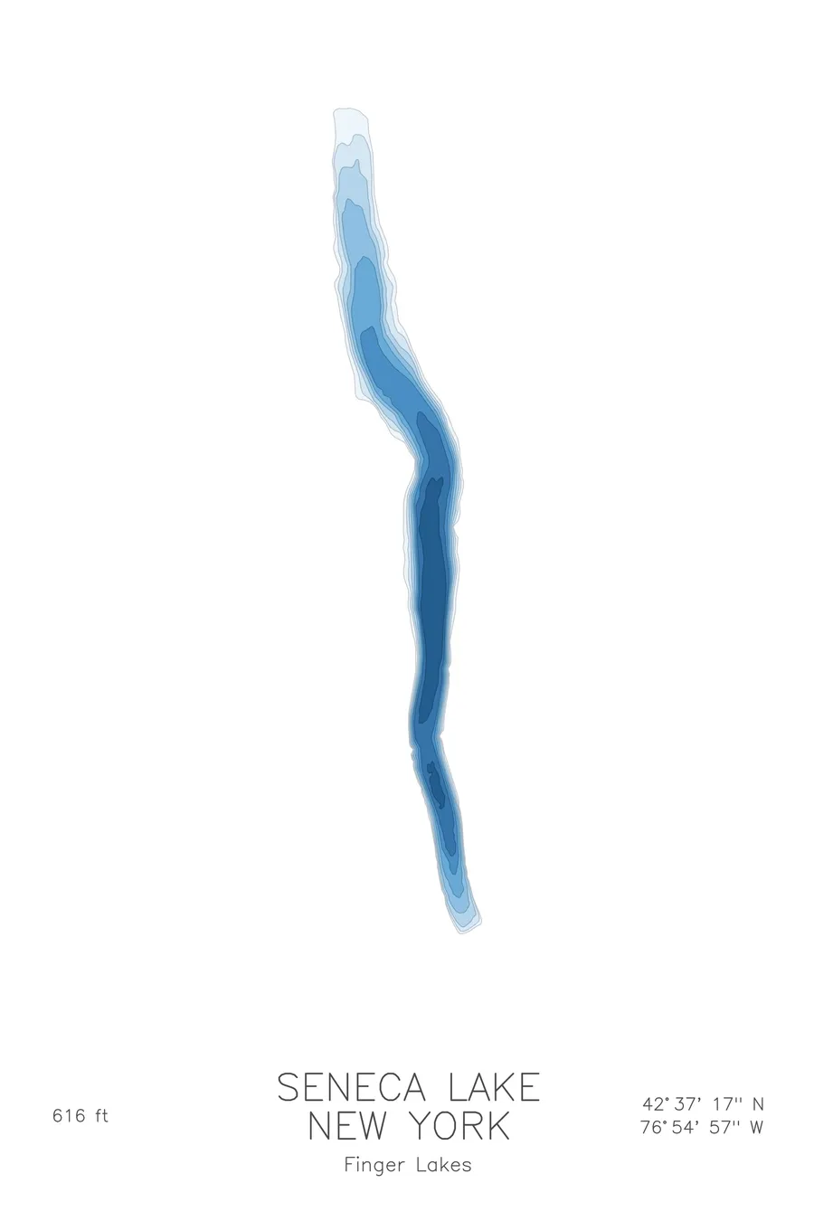
A bathymetric depth map of Seneca Lake, New York, drawn from real lake survey data in a minimalist contour-line design.
The US Navy tests submarine sonar from barges moored over the deepest part of the lake.
$50
Ink & paper: Lake Blue
Size: 12×18"
+Personalize this map
+ Details
- 12 × 18 inches
- Drawn on 98 lb (160 gsm) archival cotton paper
- Precision technical pens and archival inks
- Signed and dated on the back
- Ships flat, protected, ready to frame
Each map begins with elevation data and is drawn by a pen plotter in our Vermont studio. Mechanical precision, plus the texture and small imperfections of real ink on paper.
Off the screen
In real rooms



















+ About this map
The US Navy tests the sonar for America’s nuclear submarines in Finger Lakes wine country, from instrumented barges permanently moored over the deepest part of Seneca Lake at Dresden, New York, where a 220-ton derrick crane lowers full-size sonar domes into water up to 600 feet deep. The lake earned the assignment: a glacial trough gouged so far into an ancient river valley that its floor lies below sea level, 616 feet down at its deepest, running about 38 miles from Geneva to Watkins Glen. It also booms. The unexplained sounds, known locally as the Seneca Guns or Lake Drums, got a James Fenimore Cooper short story in 1851 and still have no settled explanation.
The depth contours show the classic Finger Lakes profile at its most extreme. The map traces long, tightly parallel lines running the length of both shores, where the lakebed plunges toward a deep, flat central trench that goes on for miles. Only at the two ends do the contours relax into shallow shelves. It is glacial carving reduced to its purest form: one long, deep cut.
+ Map details
- Seneca Lake
- New York
- United States
- Northeast
- 42.6214N 76.9158W
- Lake bathymetric depth map
- Original pen plot, archival ink on cotton paper
- 8 × 12 in · 12 × 18 in · 18 × 24 in
- Max depth 616 ft
More maps