Vermont
Smugglers' Notch
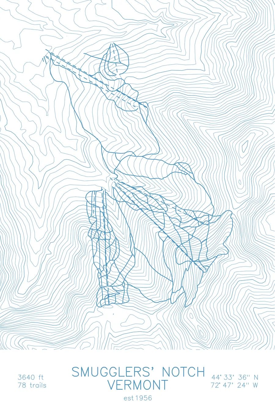
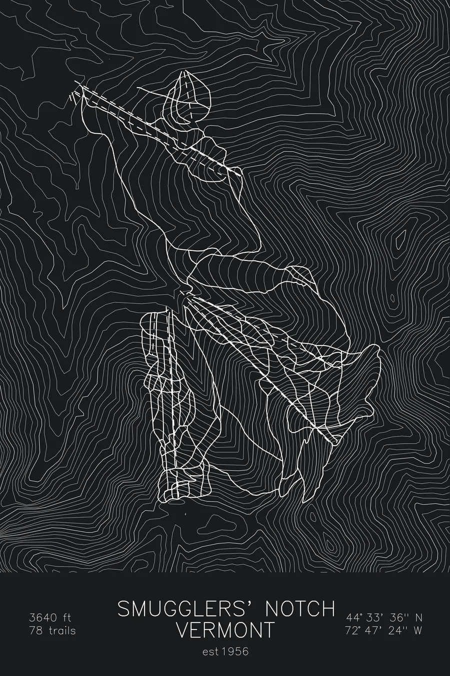
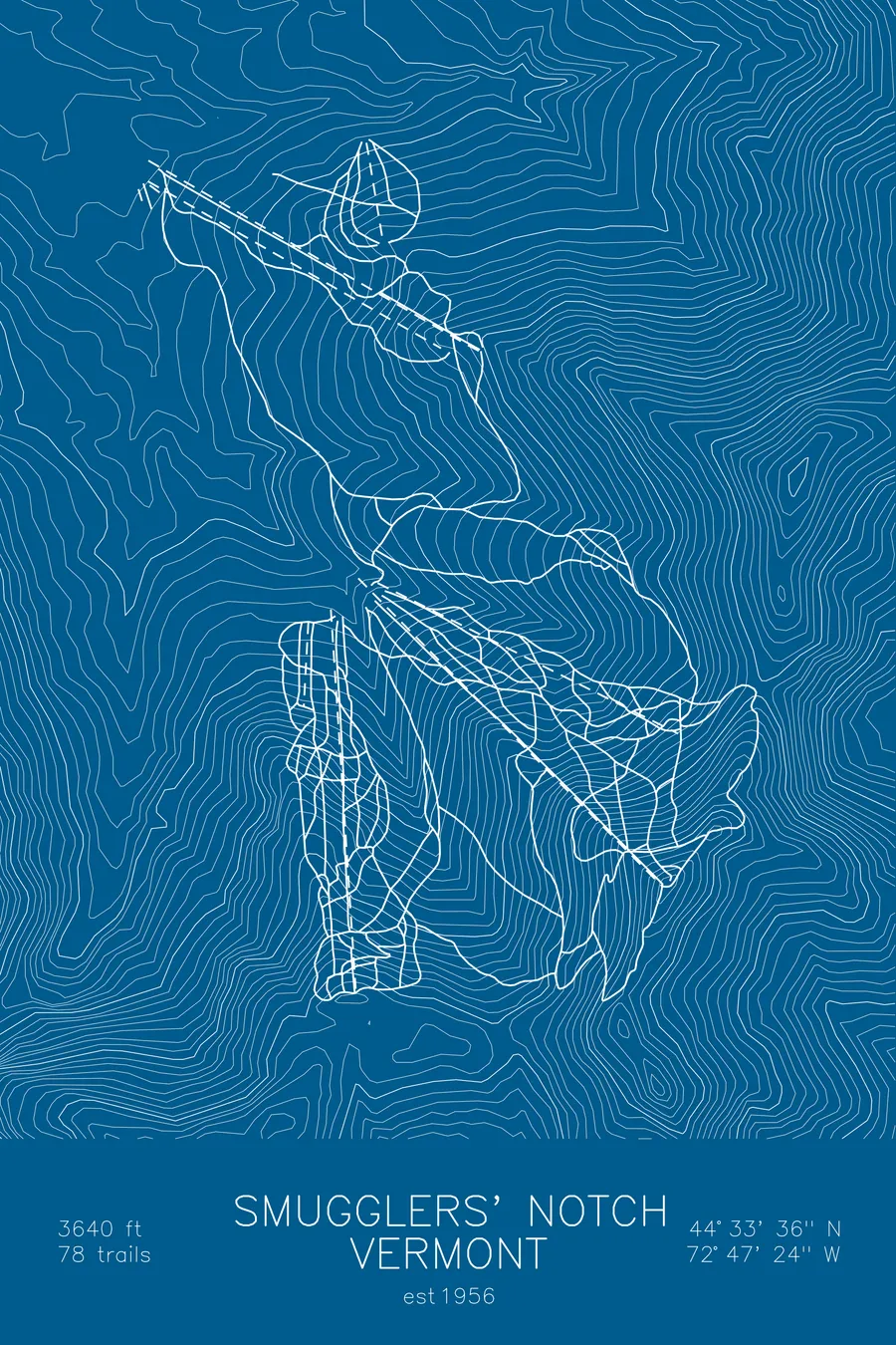
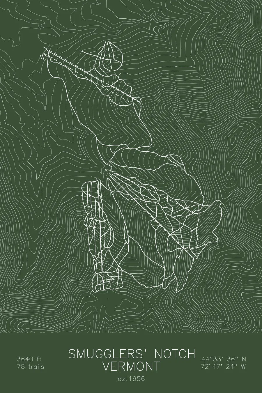
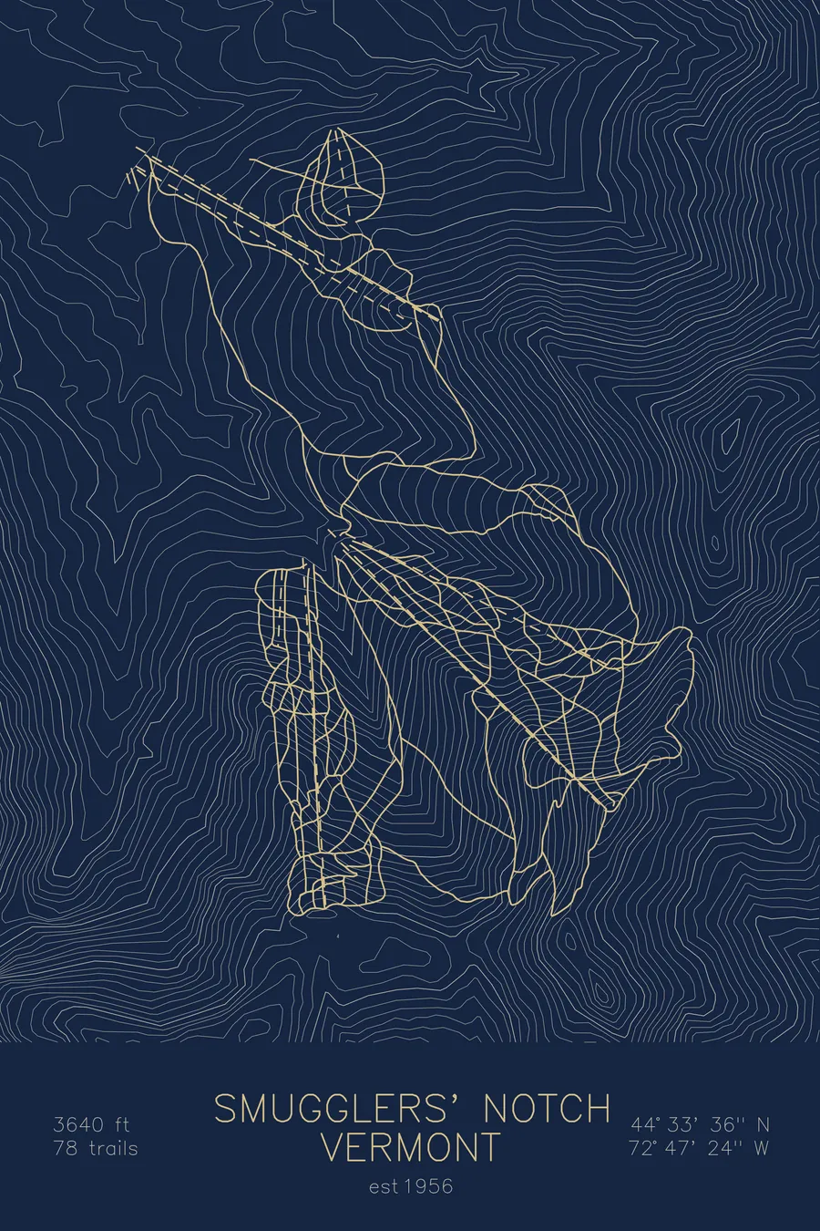
A topographic ski map of Smugglers' Notch, Vermont, with the resort's runs and lifts drawn over real terrain in a minimalist contour-line design.
Est. 1956. 78 trails. 3,640 feet above sea level.
$63
Ink & paper: Arctic White
Size: 12×18"
+Personalize this map
+ Details
- 12 × 18 inches
- Drawn on 98 lb (160 gsm) archival cotton paper
- Precision technical pens and archival inks
- Signed and dated on the back
- Ships flat, protected, ready to frame
Each map begins with elevation data and is drawn by a pen plotter in our Vermont studio. Mechanical precision, plus the texture and small imperfections of real ink on paper.
Off the screen
In real rooms



















+ About this map
Smugglers’ Notch is a northern Vermont resort with a split personality: it’s routinely ranked among the best family ski destinations in North America, yet its three interconnected mountains, Morse, Madonna, and Sterling, hide some of the steepest skiing in the East. The Black Hole, a tight, wooded triple black diamond, and the exposed Upper Liftline on Madonna give experts plenty to fear, while natural glades spill off nearly every ridge.
The resort takes its name from the narrow mountain pass beside it, used to smuggle goods to Canada during the 1807 trade embargo. Mount Mansfield and Stowe sit just over the notch. The contour map shows Madonna’s steep flanks and the dramatic cleft of the notch itself.
+ Map details
- Smugglers' Notch
- Vermont
- United States
- New England
- 3,640 ft / 1,109 m
- 44.5600N 72.7900W
- Ski resort trail map
- Original pen plot, archival ink on cotton paper
- 8 × 12 in · 12 × 18 in · 18 × 24 in
- Est. 1956. 78 trails
More maps