Utah
Snowbasin
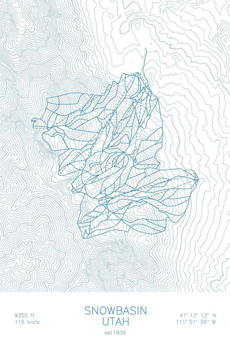
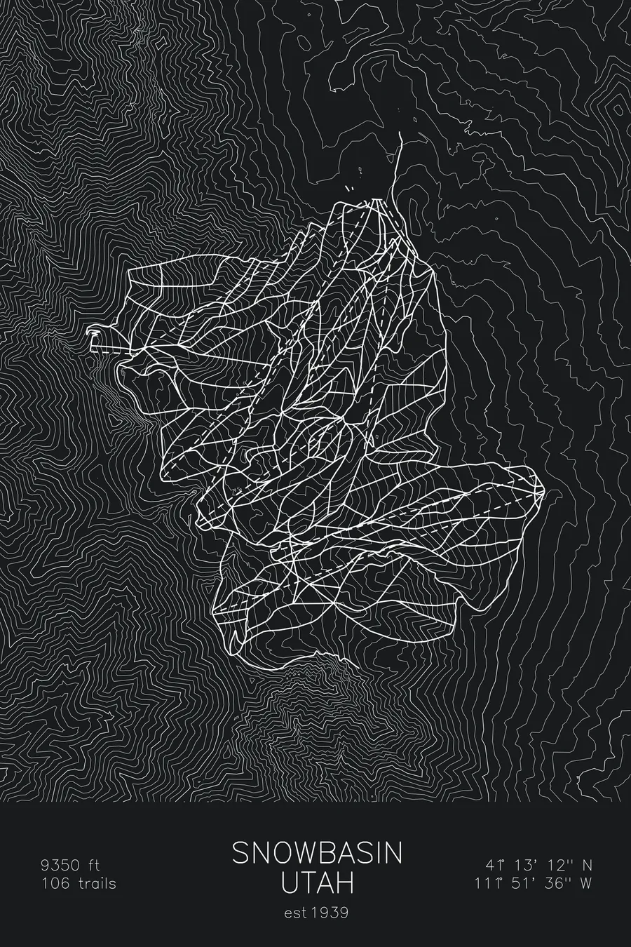
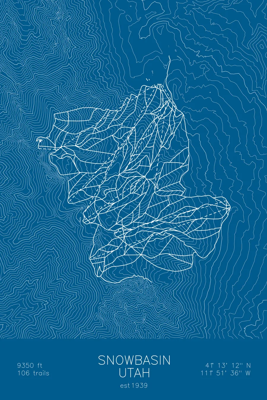
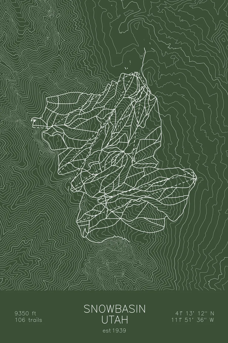
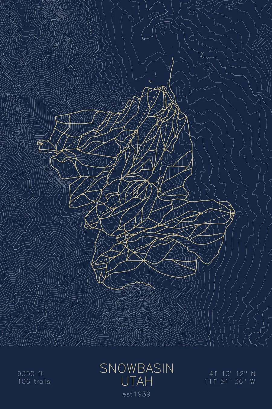
A topographic ski map of Snowbasin, Utah, with the resort's runs and lifts drawn over real terrain in a minimalist contour-line design.
Est. 1939. 106 trails. 9,350 feet above sea level.
$63
Ink & paper: Arctic White
Size: 12×18"
+Personalize this map
+ Details
- 12 × 18 inches
- Drawn on 98 lb (160 gsm) archival cotton paper
- Precision technical pens and archival inks
- Signed and dated on the back
- Ships flat, protected, ready to frame
Each map begins with elevation data and is drawn by a pen plotter in our Vermont studio. Mechanical precision, plus the texture and small imperfections of real ink on paper.
Off the screen
In real rooms



















+ About this map
Snowbasin hosted the downhill and super-G races of the 2002 Winter Olympics, and the Grizzly downhill course still plunges off the shoulder of Allen Peak for anyone who wants to test it. One of America’s oldest continuously operating ski areas, founded in 1939, it sits in the northern Wasatch above Ogden with over 3,000 acres of terrain: long groomed boulevards, open bowls, and serious steeps off the Strawberry and John Paul ridgelines.
Despite Olympic pedigree and famously upscale day lodges, Snowbasin has no slopeside village, which keeps its slopes far less crowded than the Cottonwood Canyon resorts to the south. The contour map shows the dramatic wall of the Wasatch rising between the Ogden Valley and the Great Salt Lake.
+ Map details
- Snowbasin
- Utah
- United States
- Rocky Mountains
- 9,350 ft / 2,850 m
- 41.2200N 111.8600W
- Ski resort trail map
- Original pen plot, archival ink on cotton paper
- 8 × 12 in · 12 × 18 in · 18 × 24 in
- Est. 1939. 106 trails
More maps