


Georgia
Springer Mountain
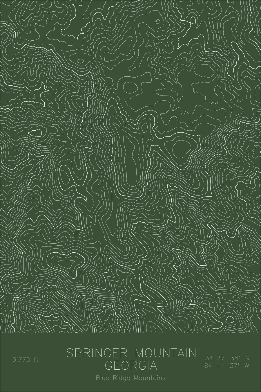
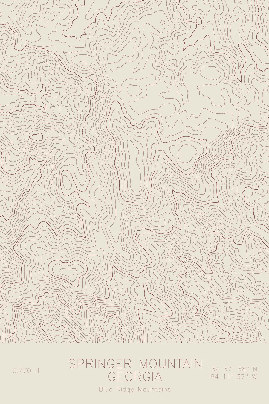
A pen-plotted topographic map of Springer Mountain in the Blue Ridge Mountains, Georgia, drawn from real elevation contour data.
Southern terminus of the Appalachian Trail. 3,770 feet above sea level.
$54
Ink & paper: Green
Size: 12×18"
+Personalize this map
+ Details
- 12 × 18 inches
- Drawn on 98 lb (160 gsm) archival cotton paper
- Precision technical pens and archival inks
- Signed and dated on the back
- Ships flat, protected, ready to frame
Each map begins with elevation data and is drawn by a pen plotter in our Vermont studio. Mechanical precision, plus the texture and small imperfections of real ink on paper.
Off the screen
In real rooms



















+ About this map
Springer Mountain rises 3,770 feet in the Blue Ridge Mountains of north Georgia, and by elevation alone it would be easy to overlook. Its significance is written on a bronze plaque at the summit: this is the southern terminus of the Appalachian Trail, the first white blaze of the 2,190-odd miles to Katahdin in Maine. Every spring, thousands of aspiring thru-hikers make the approach through the Chattahoochee National Forest to stand at this starting line. The Benton MacKaye Trail begins here as well.
This map shows the terrain that opens the long walk north. The contour lines describe the rounded, wooded ridges characteristic of the southern Appalachians, ancient mountains worn smooth by time. The lines trace the crest as it rolls away from the summit and the stream valleys that cut between the ridges, the same folds of terrain the trail follows on its first miles. It is gentle topography with an outsized place in American hiking.
+ Map details
- Springer Mountain
- Georgia
- United States
- Blue Ridge Mountains
- Appalachian Mountains
- 3,770 ft / 1,149 m
- 34.6273N 84.1936W
- Mountain topographic map
- Original pen plot, archival ink on cotton paper
- 8 × 12 in · 12 × 18 in · 18 × 24 in
- Southern terminus of the Appalachian Trail
More maps