Washington
Stevens Pass
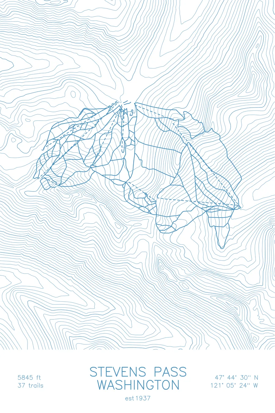
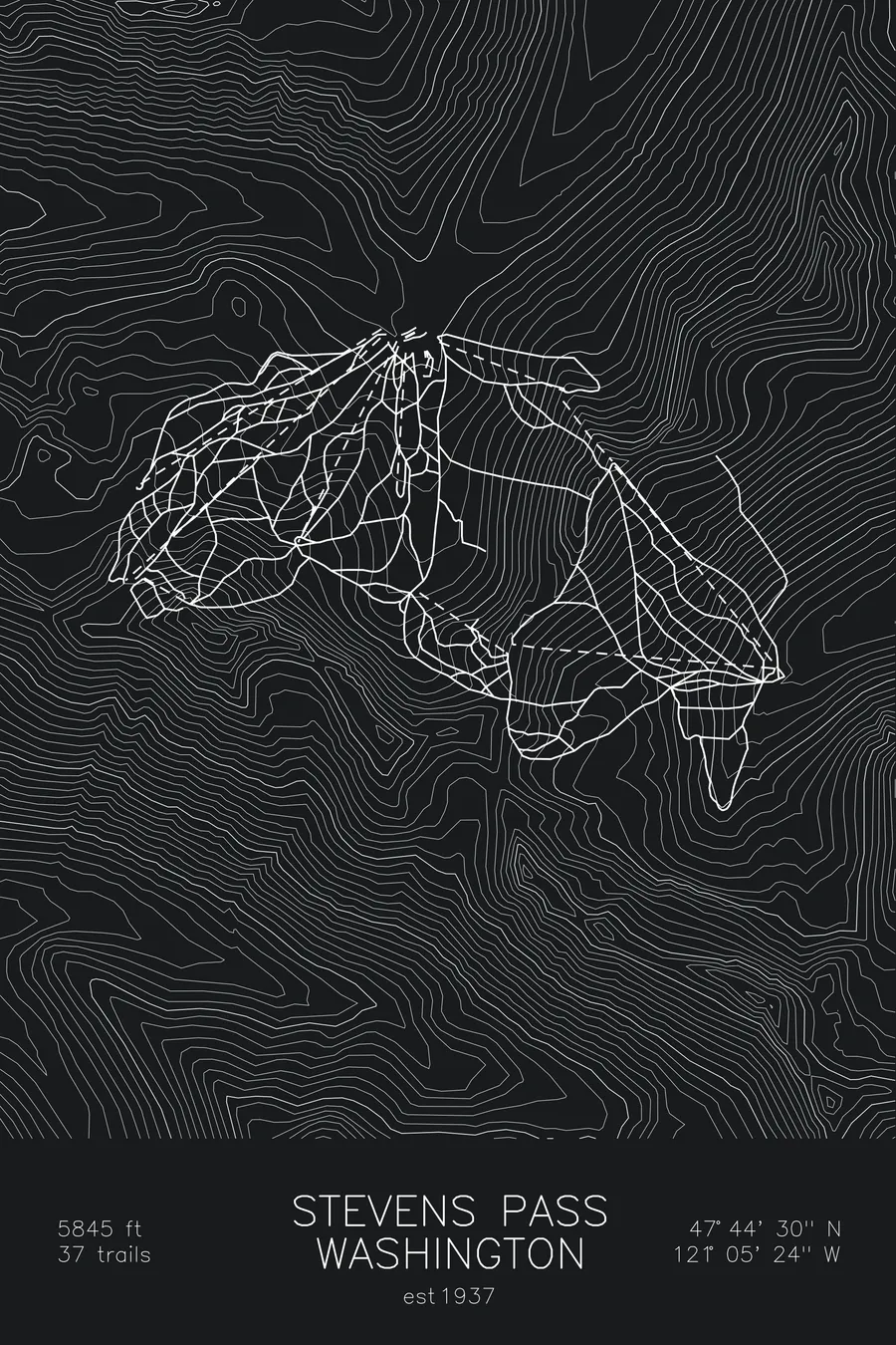
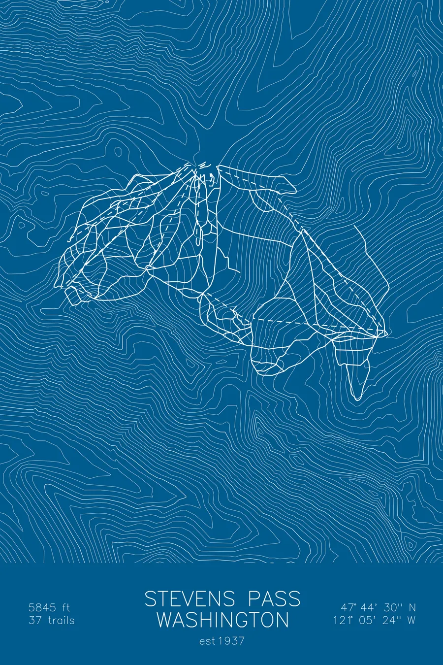
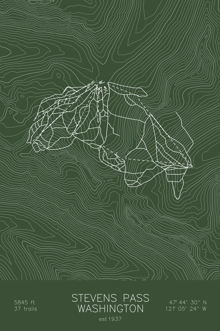
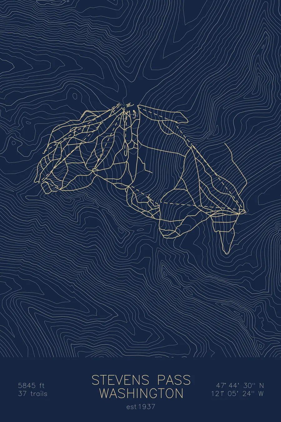
A topographic ski map of Stevens Pass, Washington, with the resort's runs and lifts drawn over real terrain in a minimalist contour-line design.
Est. 1937. 37 trails. 5,845 feet above sea level.
$63
Ink & paper: Arctic White
Size: 12×18"
+Personalize this map
+ Details
- 12 × 18 inches
- Drawn on 98 lb (160 gsm) archival cotton paper
- Precision technical pens and archival inks
- Signed and dated on the back
- Ships flat, protected, ready to frame
Each map begins with elevation data and is drawn by a pen plotter in our Vermont studio. Mechanical precision, plus the texture and small imperfections of real ink on paper.
Off the screen
In real rooms



















+ About this map
Stevens Pass straddles the crest of the Cascades on Highway 2, about two hours east of Seattle. Founded in 1937, it catches the full force of Pacific storms, and deep Cascade snow is the defining fact of the place. Its 37 trails reach 5,845 feet on Cowboy Mountain, with steep frontside runs facing the highway and the backside Mill Valley opening into gladed bowls that stay soft long after a storm. Night skiing under the lights is a longstanding tradition here.
The contour map traces both sides of the pass, the tight terrain that makes a modest-sized mountain ski like a much bigger one.
+ Map details
- Stevens Pass
- Washington
- United States
- Pacific Northwest
- 5,845 ft / 1,782 m
- 47.7417N 121.0900W
- Ski resort trail map
- Original pen plot, archival ink on cotton paper
- 8 × 12 in · 12 × 18 in · 18 × 24 in
- Est. 1937. 37 trails
More maps