Vermont
Stratton Mountain
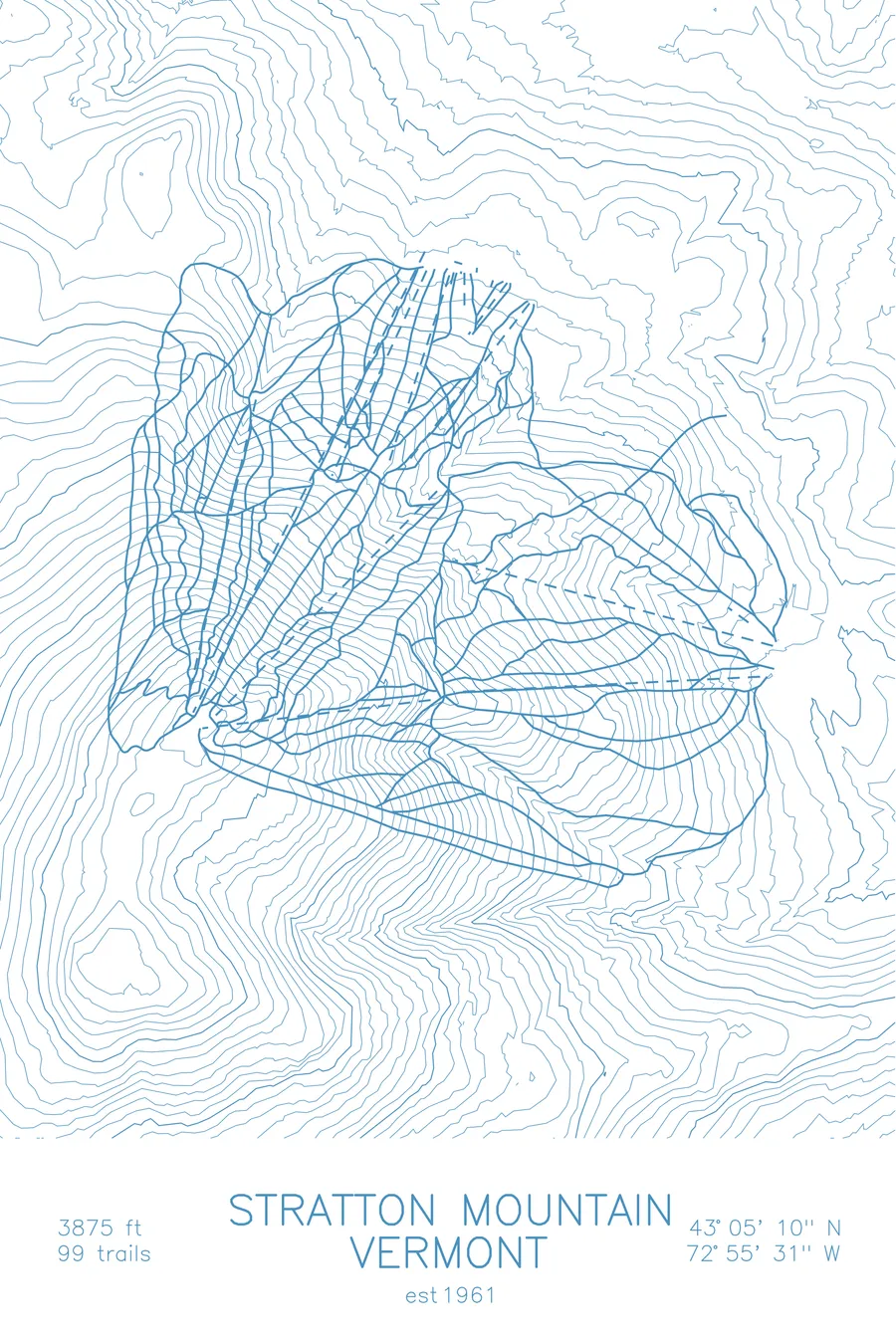
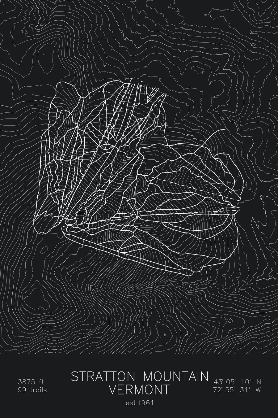
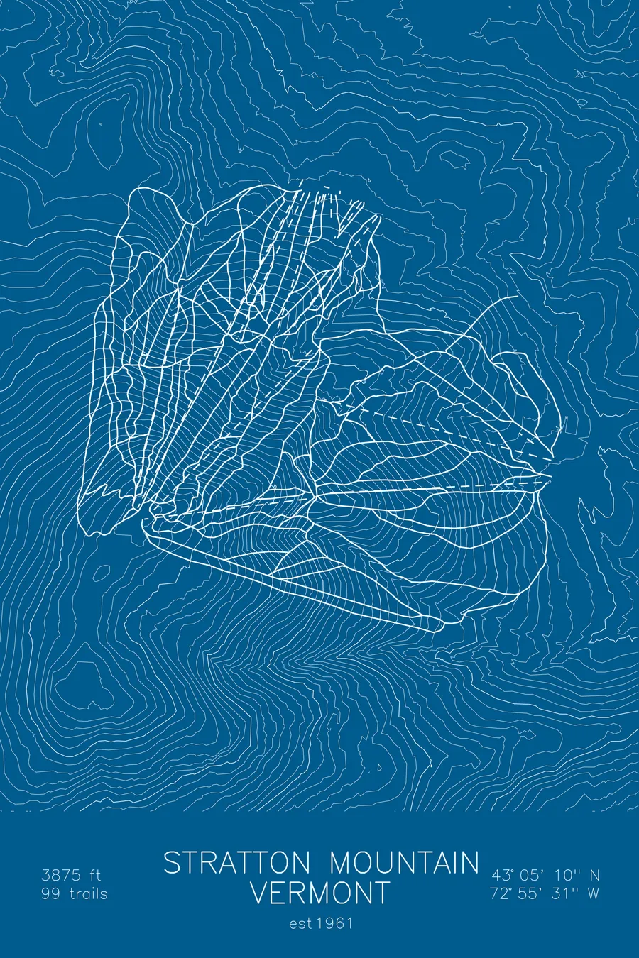
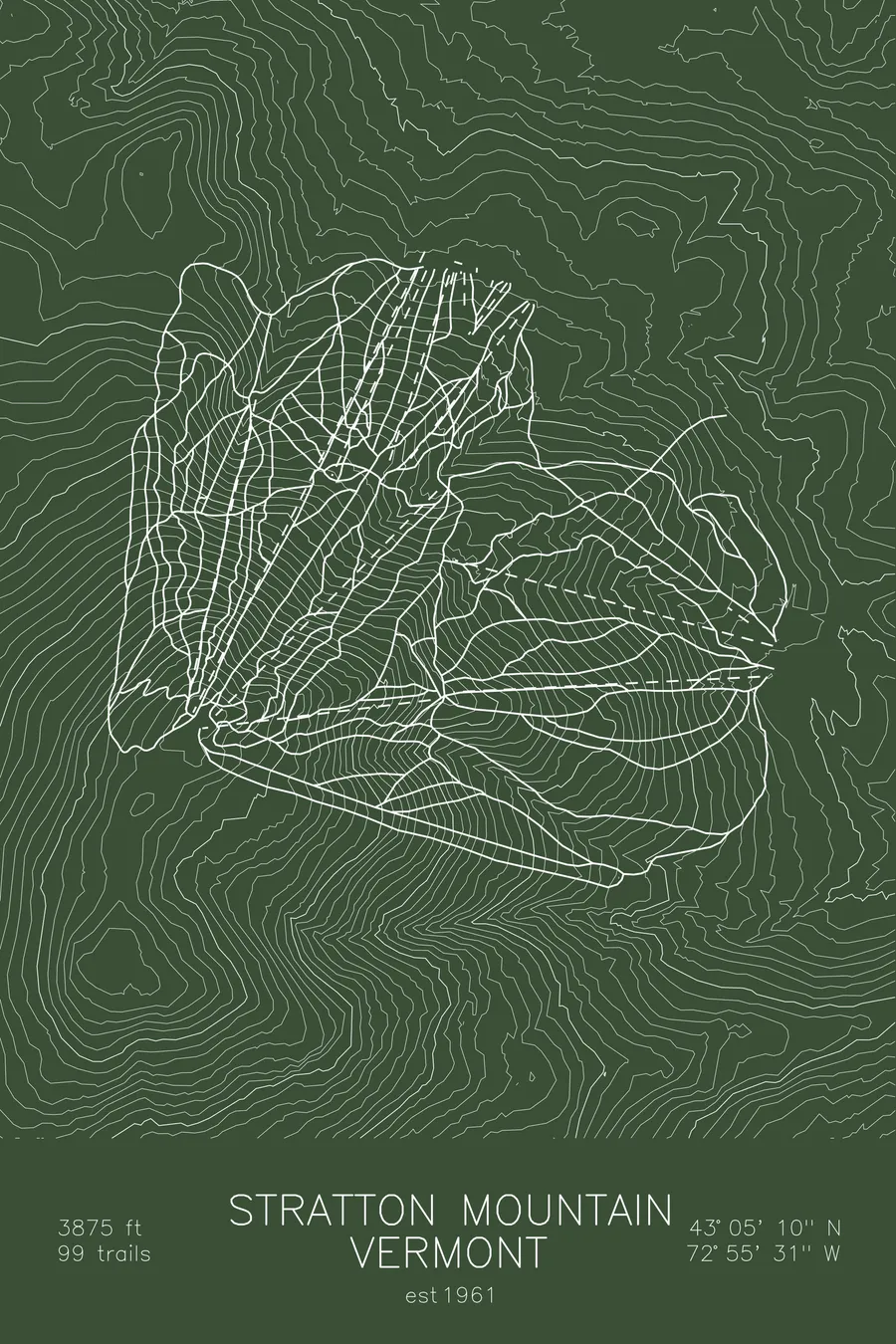
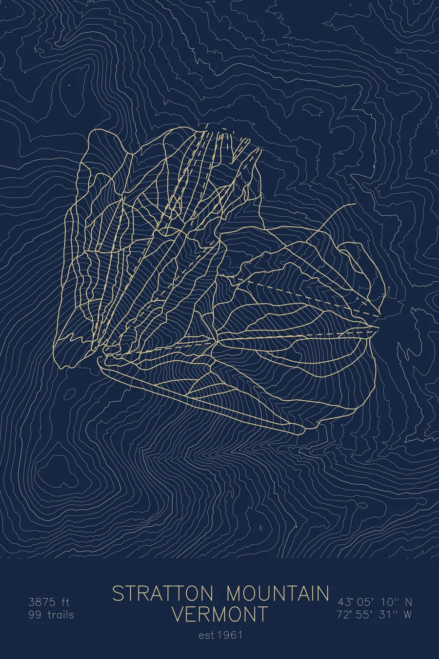
A topographic ski map of Stratton Mountain, Vermont, with the resort's runs and lifts drawn over real terrain in a minimalist contour-line design.
Est. 1961. 99 trails. 3,875 feet above sea level.
$63
Ink & paper: Arctic White
Size: 12×18"
+Personalize this map
+ Details
- 12 × 18 inches
- Drawn on 98 lb (160 gsm) archival cotton paper
- Precision technical pens and archival inks
- Signed and dated on the back
- Ships flat, protected, ready to frame
Each map begins with elevation data and is drawn by a pen plotter in our Vermont studio. Mechanical precision, plus the texture and small imperfections of real ink on paper.
Off the screen
In real rooms



















+ About this map
Stratton Mountain is southern Vermont’s largest ski area and one of snowboarding’s birthplaces: Jake Burton Carpenter tested his early boards here, and Stratton became the first major resort to welcome them, launching the sport into the mainstream. The mountain’s 99 trails fan out from the highest summit in southern Vermont, mostly wide, immaculately groomed cruisers with steeper pitches and glades concentrated near the top.
Reliable snowmaking covers nearly the whole mountain, delivering consistent conditions in a polished resort setting anchored by a pedestrian base village, all within easy reach of New York and Boston. The contour map shows Stratton’s broad dome rising above the surrounding Green Mountain ridges, with Bromley just across the valley.
+ Map details
- Stratton Mountain
- Vermont
- United States
- New England
- 3,875 ft / 1,181 m
- 43.0861N 72.9253W
- Ski resort trail map
- Original pen plot, archival ink on cotton paper
- 8 × 12 in · 12 × 18 in · 18 × 24 in
- Est. 1961. 99 trails
More maps