Maine
Sugarloaf Bike Park
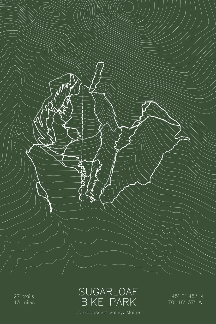
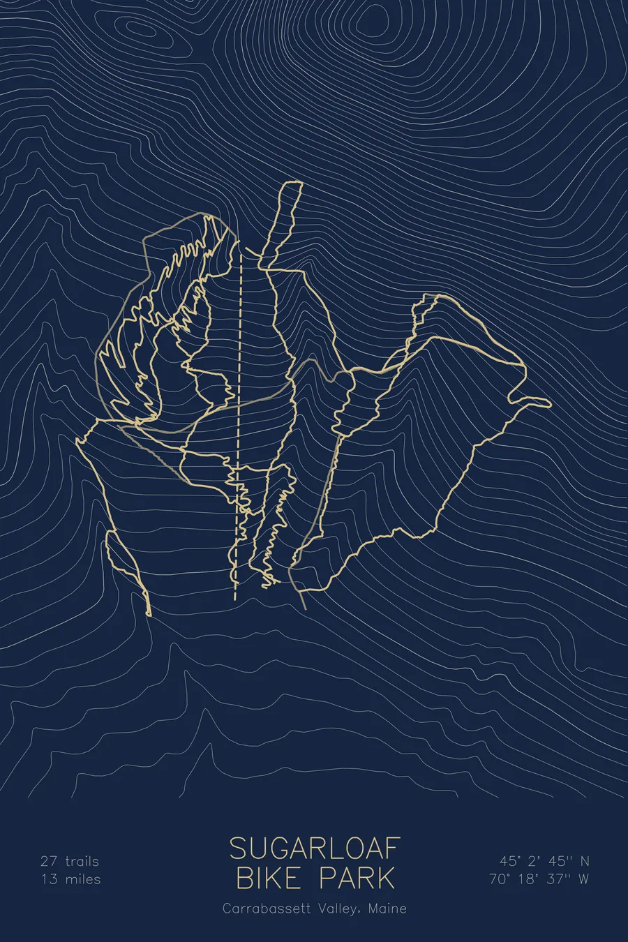
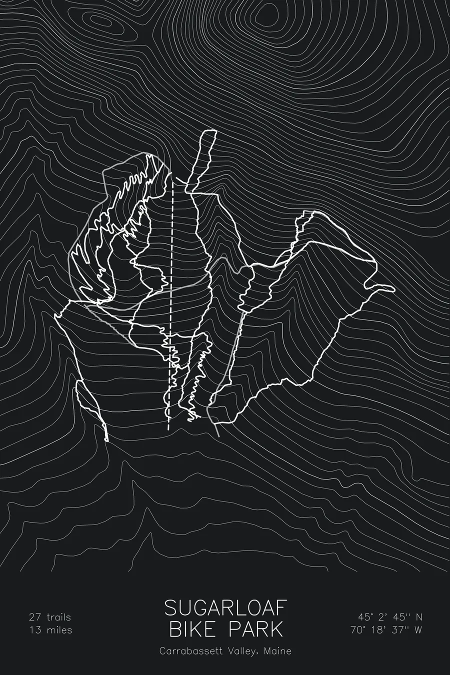
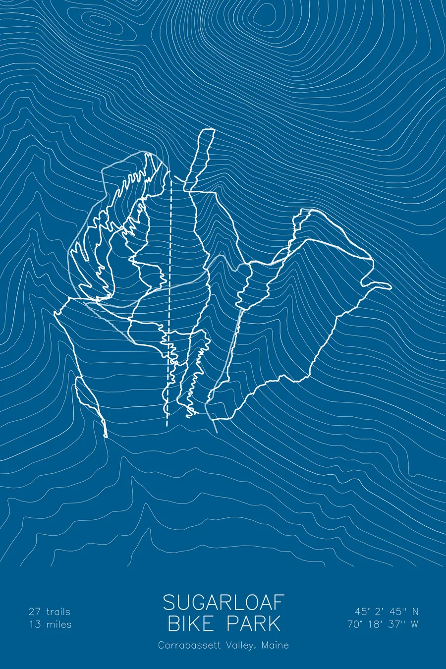
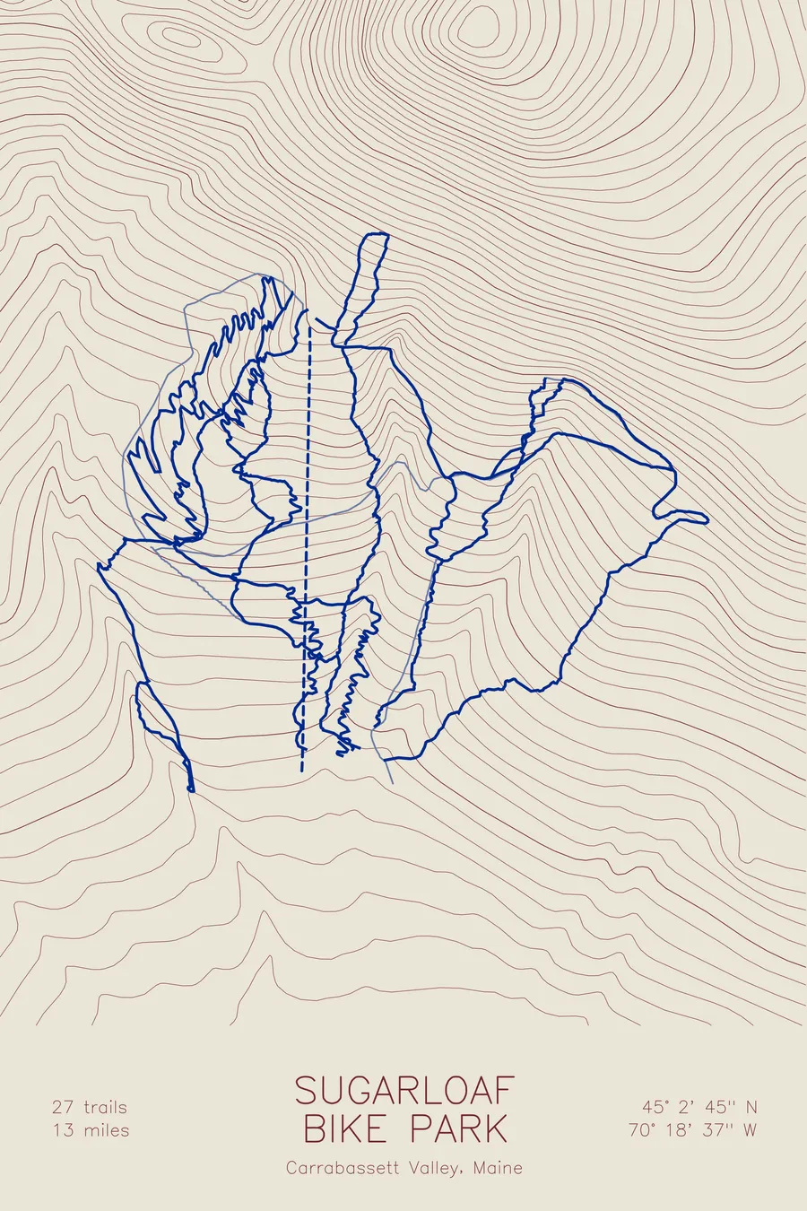
A mountain bike trail map of Sugarloaf Bike Park, Maine, combining the trail network with the surrounding topography.
27 trails, 13 miles of lift-served riding.
$63
Ink & paper: Black
Size: 12×18"
+Personalize this map
+ Details
- 12 × 18 inches
- Drawn on 98 lb (160 gsm) archival cotton paper
- Precision technical pens and archival inks
- Signed and dated on the back
- Ships flat, protected, ready to frame
Each map begins with elevation data and is drawn by a pen plotter in our Vermont studio. Mechanical precision, plus the texture and small imperfections of real ink on paper.
Off the screen
In real rooms



















+ About this map
Sugarloaf Bike Park is the summer side of Sugarloaf, the big mountain above Carrabassett Valley in western Maine. It opened in July 2025. The Whiffletree quad chairlift carries riders and bikes up the lower mountain, and 27 trails, about 13 miles in all, bring them back down.
The top of the lift sits at the head of the sheet, and the trails spread out on both sides of its dashed line as they work back to the base: tight, switchbacked descents that cross the contours again and again, and longer lines that swing out wide across the hillside before they turn for home.
+ Map details
- Sugarloaf Bike Park
- Maine
- United States
- New England
- 45.0458N 70.3104W
- Mountain bike trail map
- Original pen plot, archival ink on cotton paper
- 8 × 12 in · 12 × 18 in · 18 × 24 in
- 27 trails, 13 miles of lift-served riding
More maps