Maine
Sugarloaf
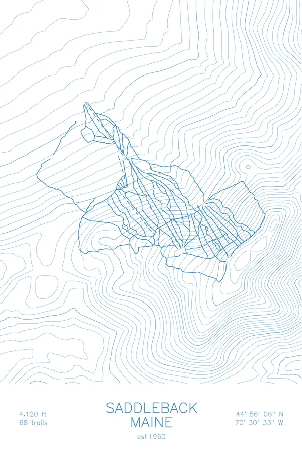
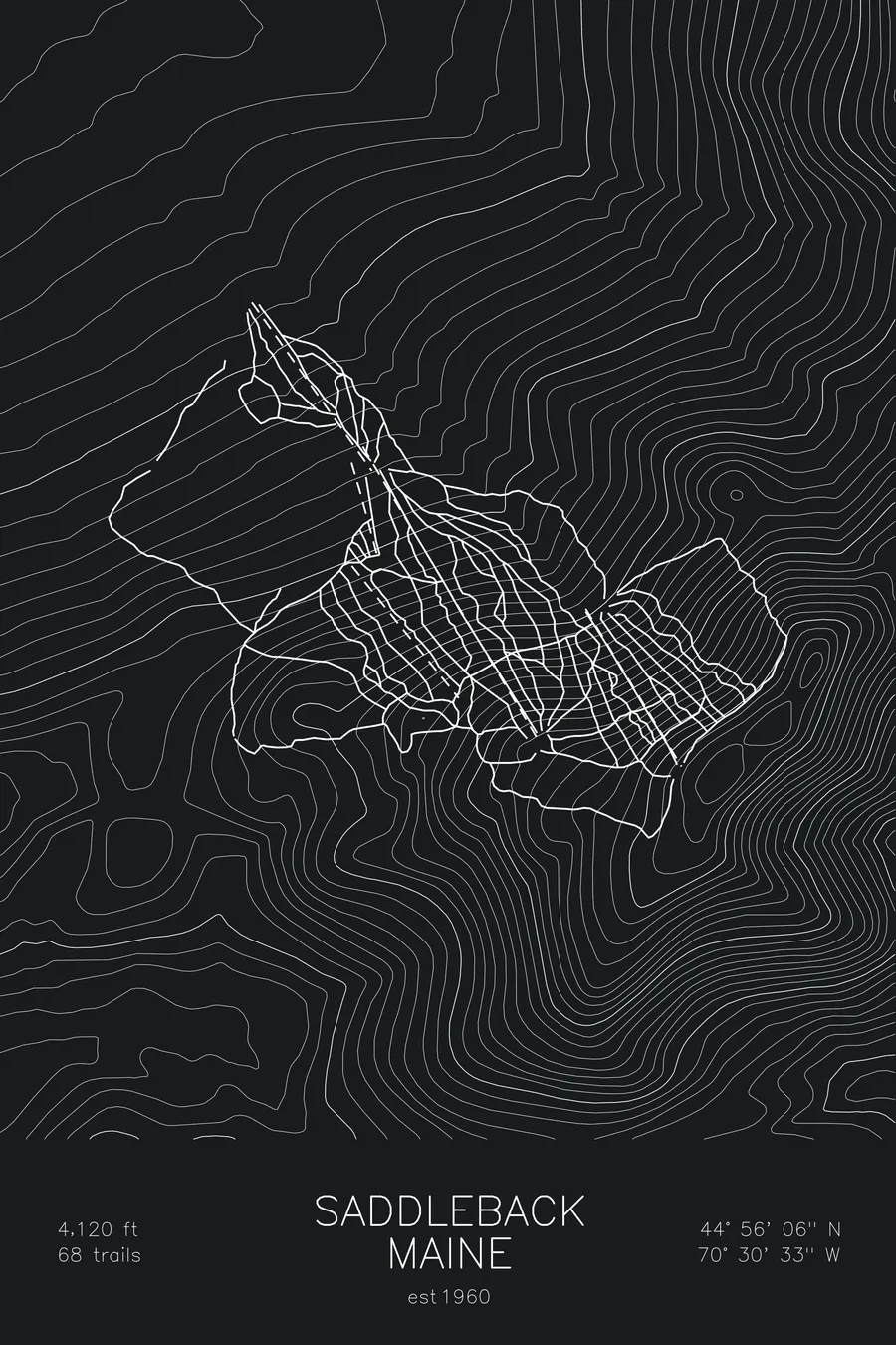
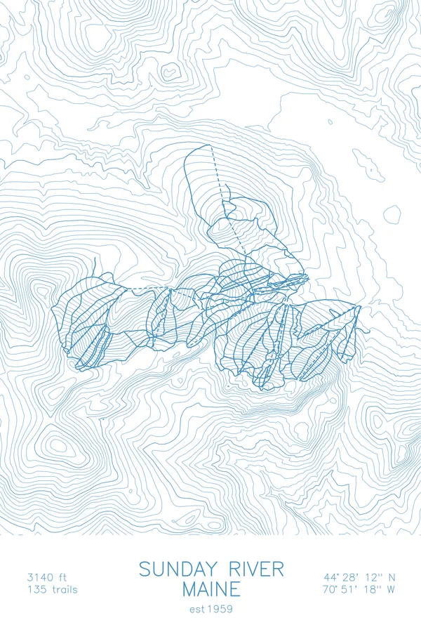
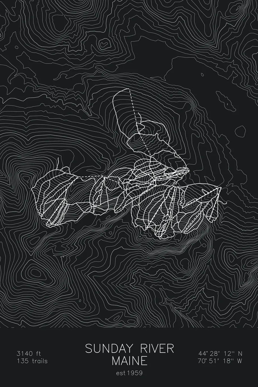
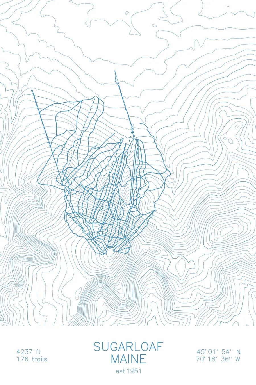
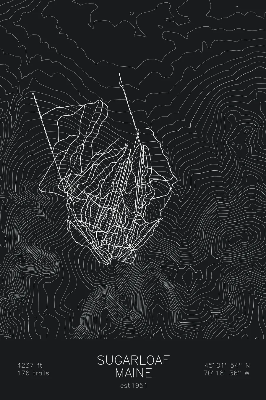
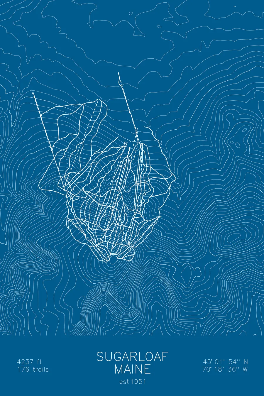
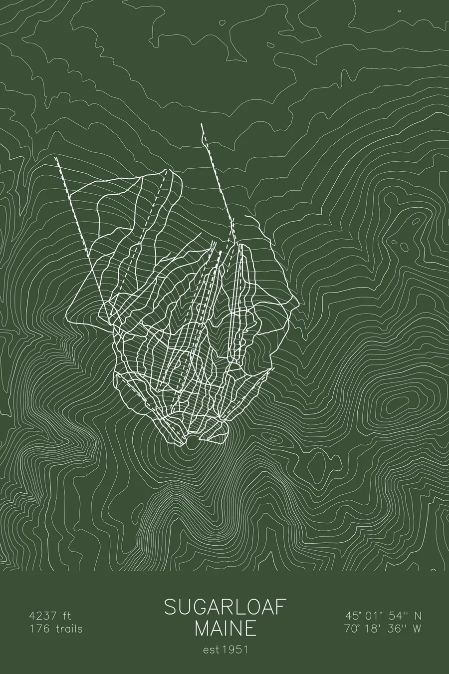
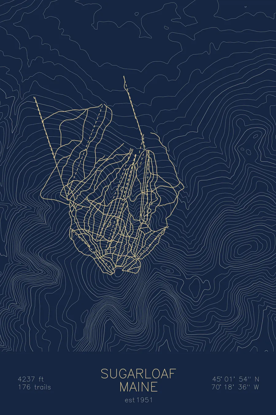
A topographic ski map of Sugarloaf, Maine, with the resort's runs and lifts drawn over real terrain in a minimalist contour-line design.
Est. 1951. 176 trails. 4,237 feet above sea level.
$63
Ink & paper: Arctic White
Size: 12×18"
+Personalize this map
+ Details
- 12 × 18 inches
- Drawn on 98 lb (160 gsm) archival cotton paper
- Precision technical pens and archival inks
- Signed and dated on the back
- Ships flat, protected, ready to frame
Each map begins with elevation data and is drawn by a pen plotter in our Vermont studio. Mechanical precision, plus the texture and small imperfections of real ink on paper.
Off the screen
In real rooms



















+ About this map
Sugarloaf is one of the biggest mountains in the East, a 4,237-foot peak rising alone above Maine’s Carrabassett Valley. Founded in 1951, it is home to the Snowfields, the only lift-serviced above-treeline skiing in the eastern United States, along with long fall-line runs that drop continuously from summit to base. Its 176 trails and famously loyal community have made “the Loaf” a pilgrimage for New England skiers willing to drive the extra hours north.
The contour map shows the mountain’s singular cone shape, with the open summit snowfields at its crown and trails radiating down every aspect.
+ Map details
- Sugarloaf
- Maine
- United States
- New England
- 4,237 ft / 1,291 m
- 45.0317N 70.3100W
- Ski resort trail map
- Original pen plot, archival ink on cotton paper
- 8 × 12 in · 12 × 18 in · 18 × 24 in
- Est. 1951. 176 trails
More maps