Maine
Sugarloaf Mountain
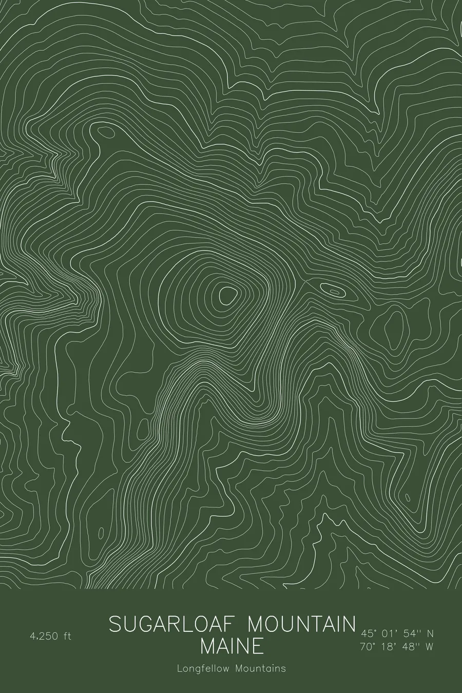
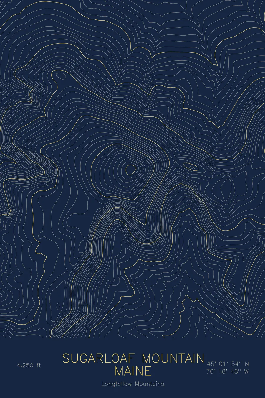
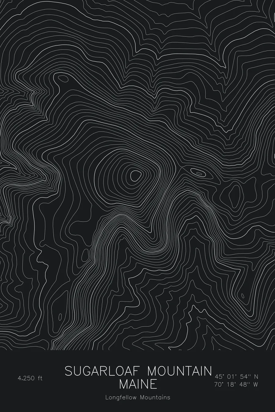
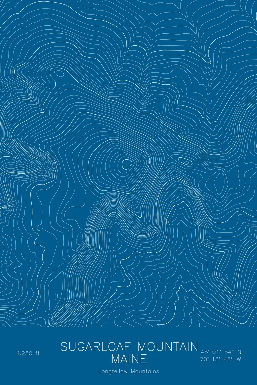
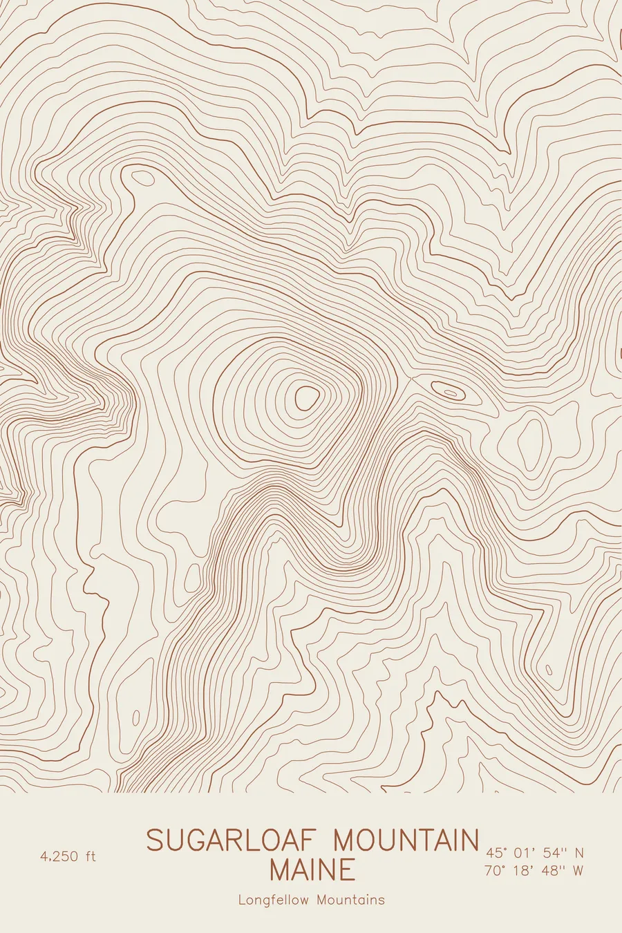
A pen-plotted topographic map of Sugarloaf Mountain in the Longfellow Mountains, Maine, drawn from real elevation contour data.
Third-highest peak in Maine, home of Sugarloaf ski resort. 4,250 feet above sea level.
$54
Ink & paper: Blue
Size: 12×18"
+Personalize this map
+ Details
- 12 × 18 inches
- Drawn on 98 lb (160 gsm) archival cotton paper
- Precision technical pens and archival inks
- Signed and dated on the back
- Ships flat, protected, ready to frame
Each map begins with elevation data and is drawn by a pen plotter in our Vermont studio. Mechanical precision, plus the texture and small imperfections of real ink on paper.
Off the screen
In real rooms



















+ About this map
Sugarloaf Mountain rises to 4,250 feet in the Longfellow Mountains of western Maine, the third-highest summit in the state after the two peaks of Katahdin. The Sugarloaf ski resort covers its north face above the Carrabassett Valley, with lift-served terrain reaching all the way to the open snowfields at the top, while the Appalachian Trail passes along the ridge to the south on its way over Spaulding Mountain.
This map traces a mountain with two distinct sides. The north face, where the ski trails are cut, is drawn as a set of steep, evenly spaced contours falling toward the Carrabassett River, while the south and west sides trail away more gradually along the ridge toward Spaulding. The summit itself is a rounded cone that stands well above the surrounding ridges. Within this frame the terrain covers about 2,600 feet from the river to the top.
+ Map details
- Sugarloaf Mountain
- Maine
- United States
- Longfellow Mountains
- Longfellow Mountains
- 4,250 ft / 1,295 m
- 45.0317N 70.3133W
- Mountain topographic map
- Original pen plot, archival ink on cotton paper
- 8 × 12 in · 12 × 18 in · 18 × 24 in
- Third-highest peak in Maine, home of Sugarloaf ski resort
More maps