Washington
The Summit at Snoqualmie
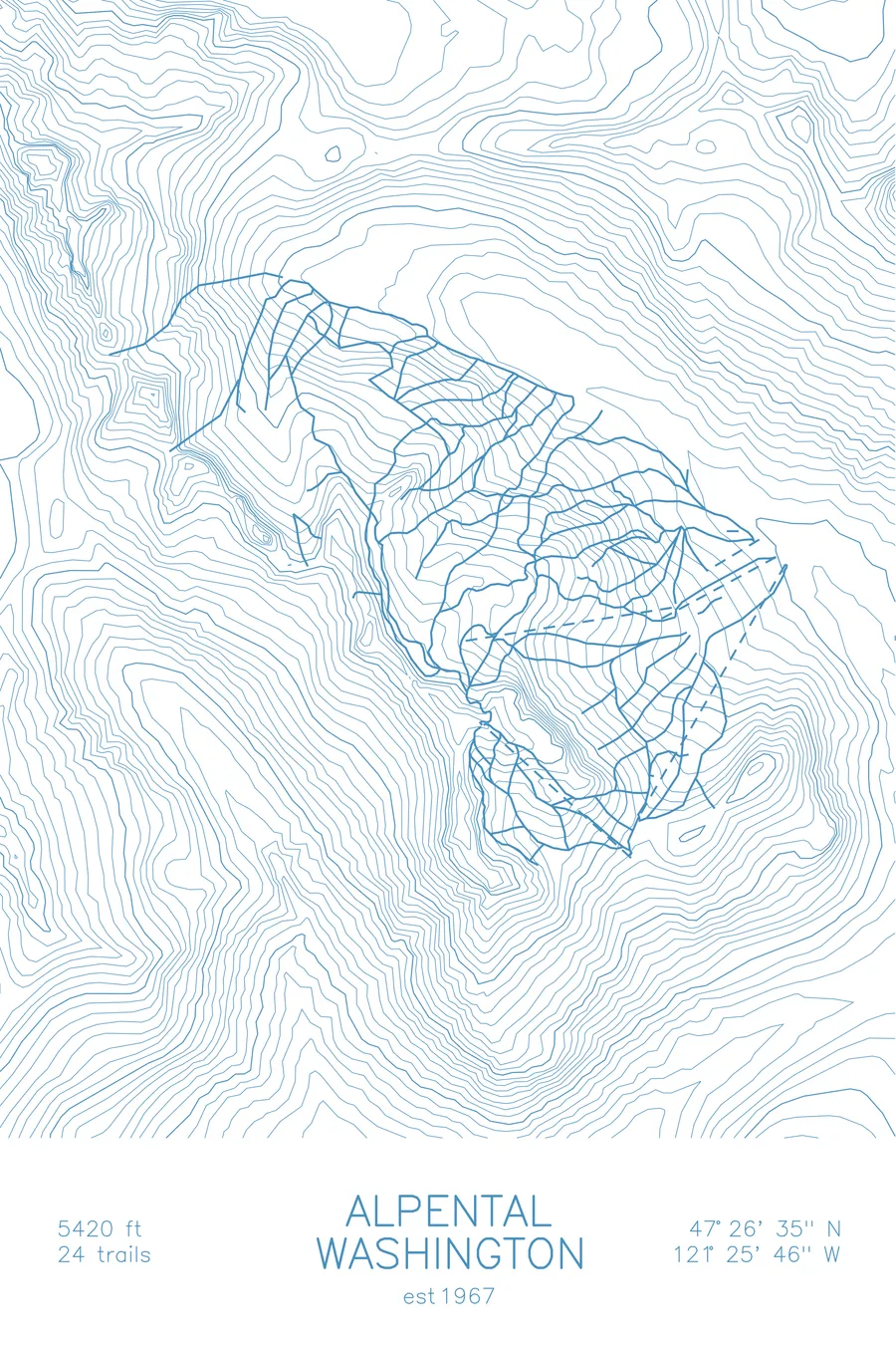
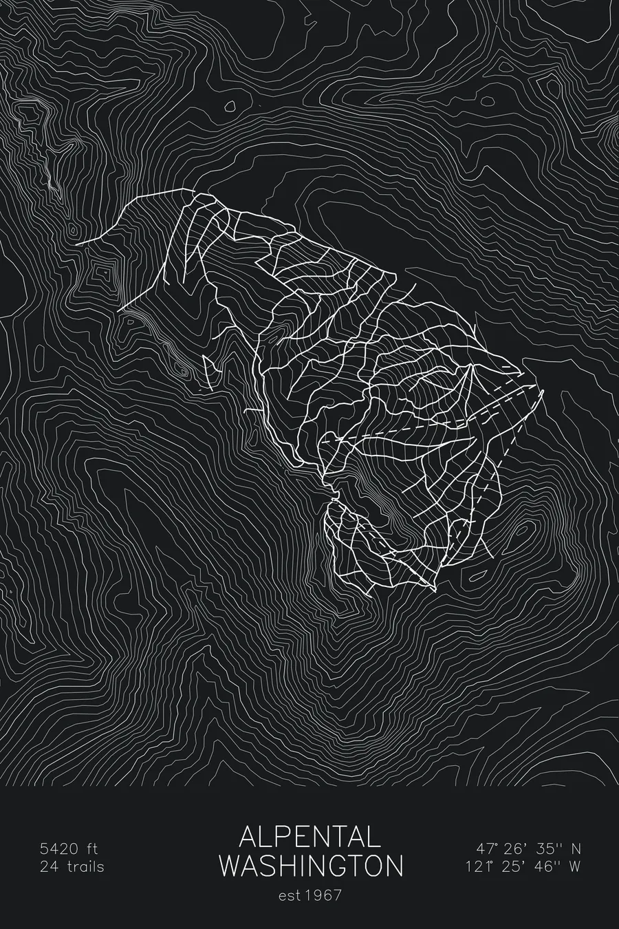
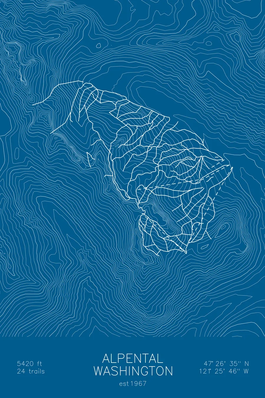
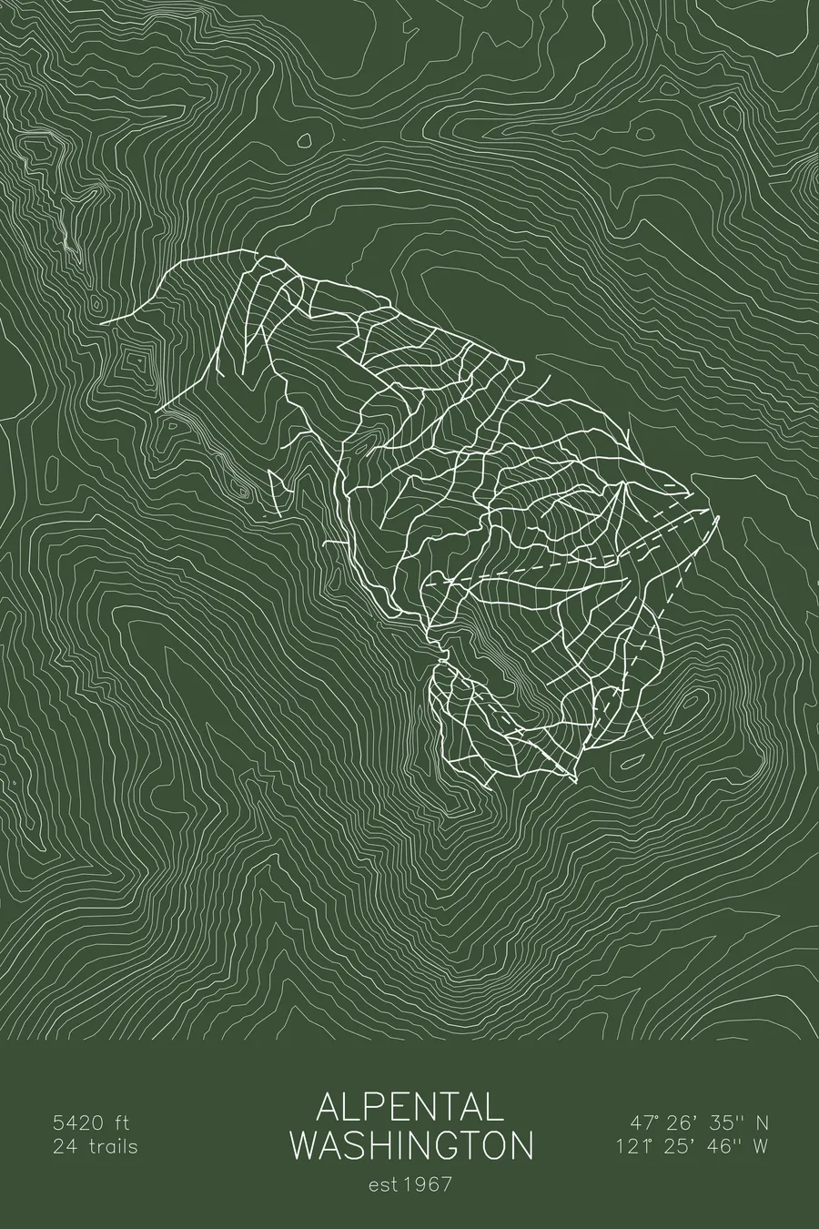
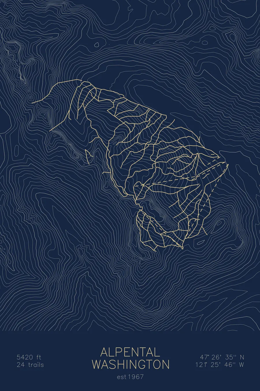
A topographic ski map of The Summit at Snoqualmie, Washington, with the resort's runs and lifts drawn over real terrain in a minimalist contour-line design.
Est. 1967. 24 trails. 5,420 feet above sea level.
$63
Ink & paper: Arctic White
Size: 12×18"
+Personalize this map
+ Details
- 12 × 18 inches
- Drawn on 98 lb (160 gsm) archival cotton paper
- Precision technical pens and archival inks
- Signed and dated on the back
- Ships flat, protected, ready to frame
Each map begins with elevation data and is drawn by a pen plotter in our Vermont studio. Mechanical precision, plus the texture and small imperfections of real ink on paper.
Off the screen
In real rooms



















+ About this map
The Summit at Snoqualmie is Seattle’s home mountain, four connected base areas strung along Snoqualmie Pass less than an hour up Interstate 90. The areas united under one name in 1967, and together they cover everything from the gentle learning slopes of Summit West to Alpental, a steep pocket of chutes and cliff bands with a serious reputation among Northwest skiers. Terrain reaches 5,420 feet, and the pass is famous for night skiing, with lights running most evenings of the season.
The contour map shows the low saddle of the pass and the abrupt Cascade peaks on either side, Alpental’s headwall standing out in the tightest lines.
+ Map details
- The Summit at Snoqualmie
- Washington
- United States
- Pacific Northwest
- 5,420 ft / 1,652 m
- 47.4431N 121.4294W
- Ski resort trail map
- Original pen plot, archival ink on cotton paper
- 8 × 12 in · 12 × 18 in · 18 × 24 in
- Est. 1967. 24 trails
More maps