Idaho
Sun Valley
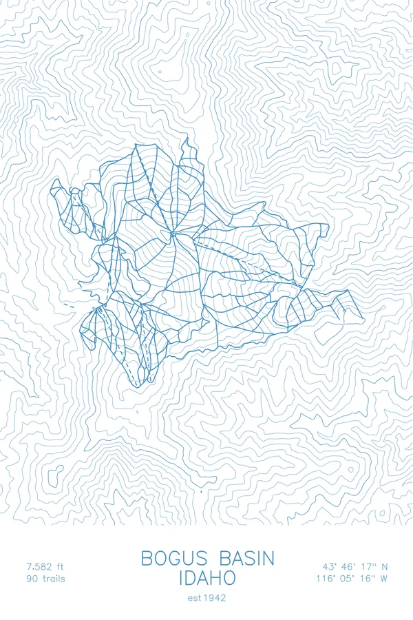
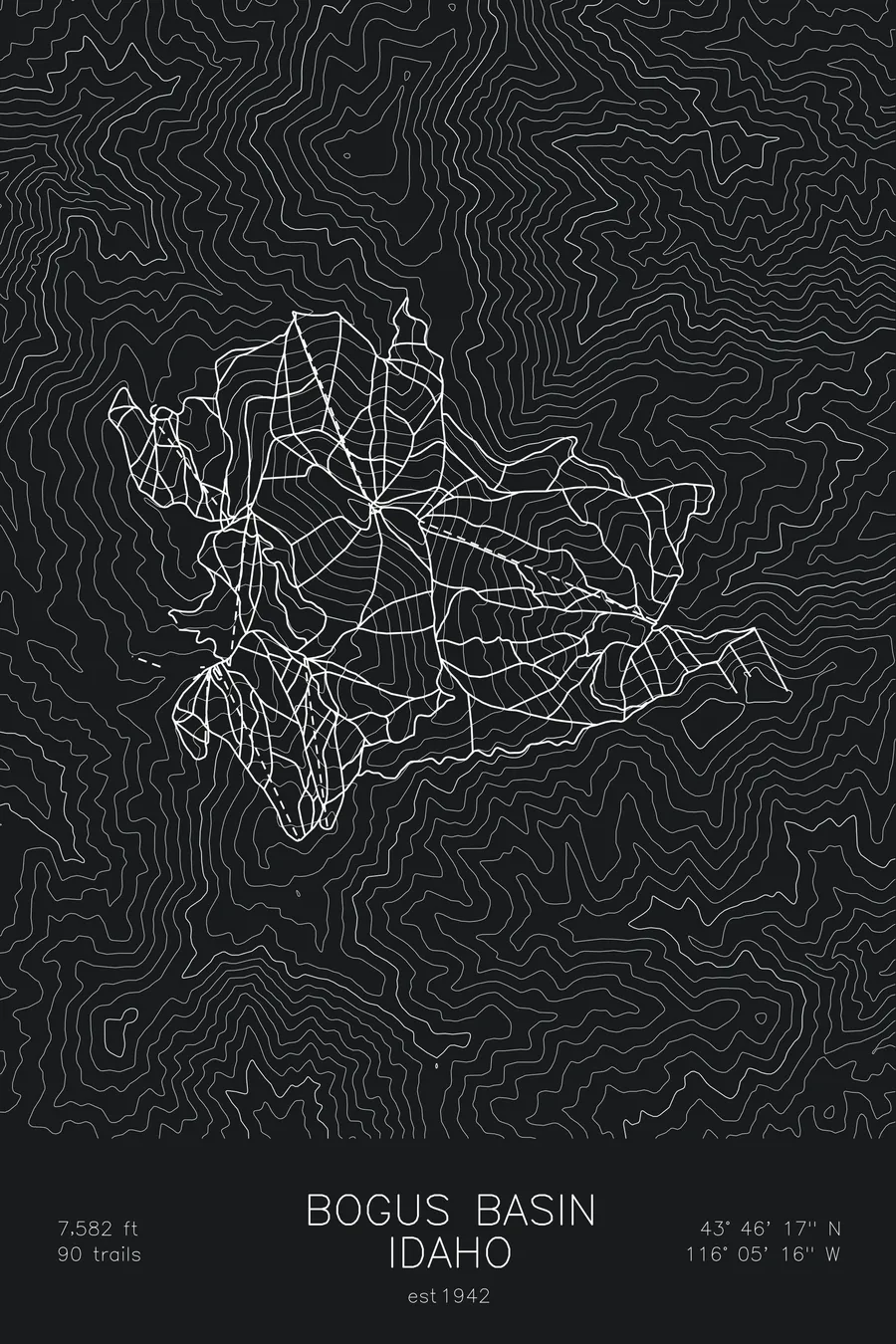
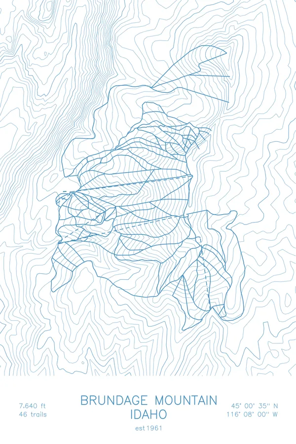
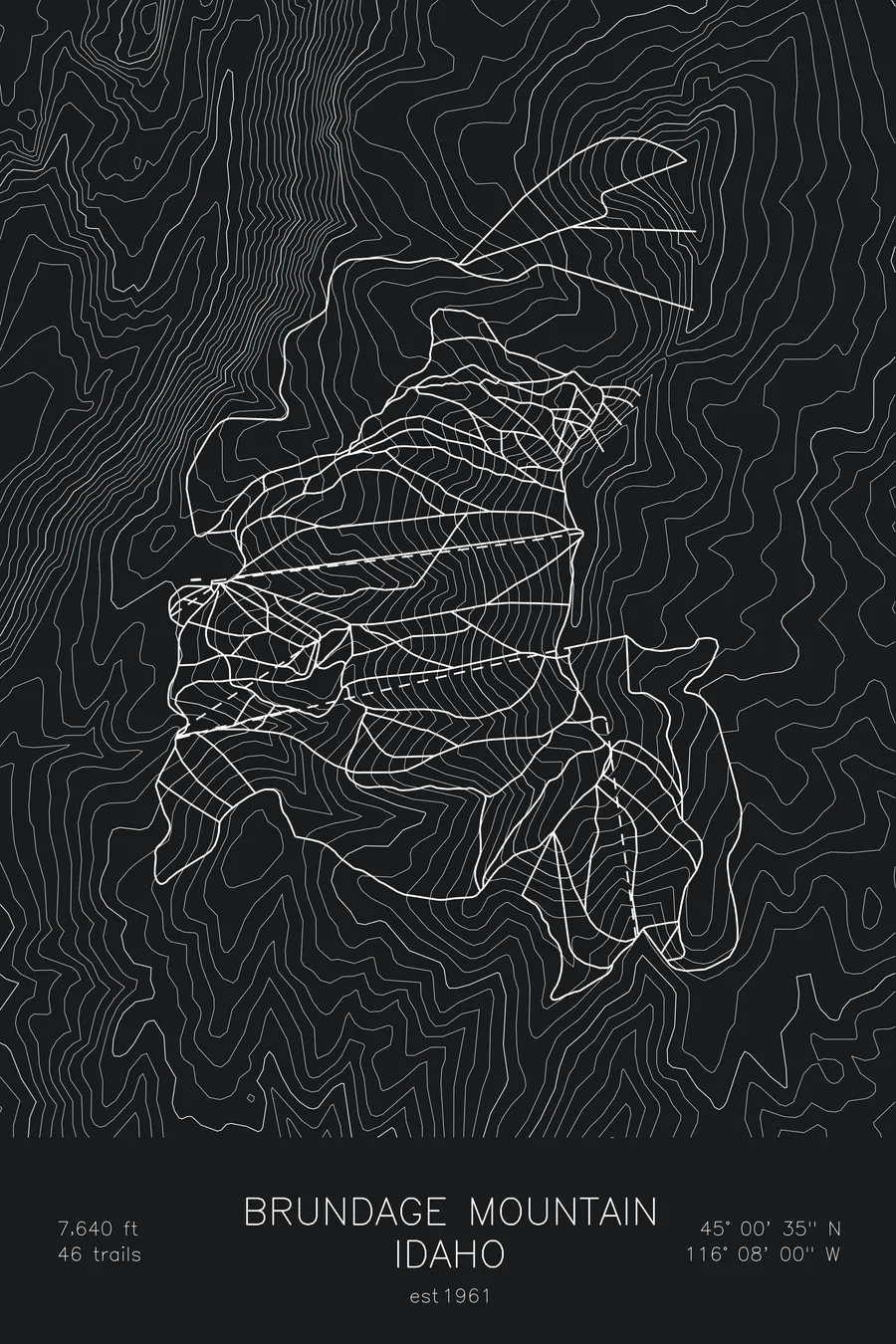
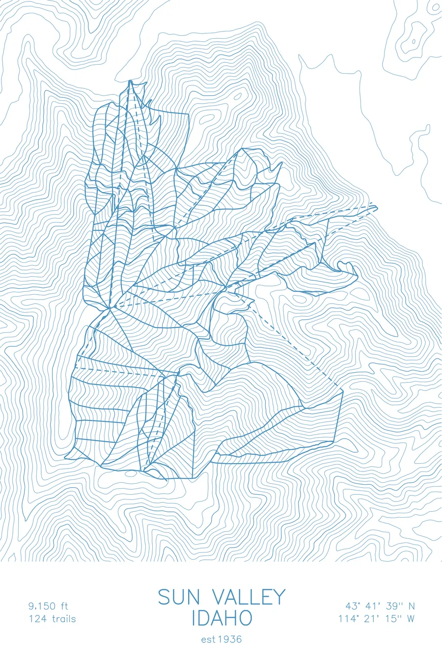
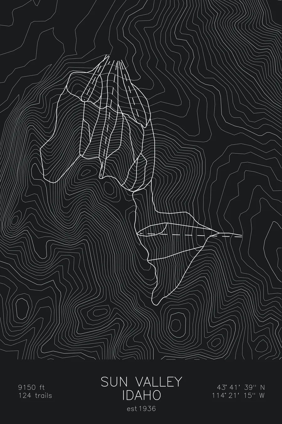
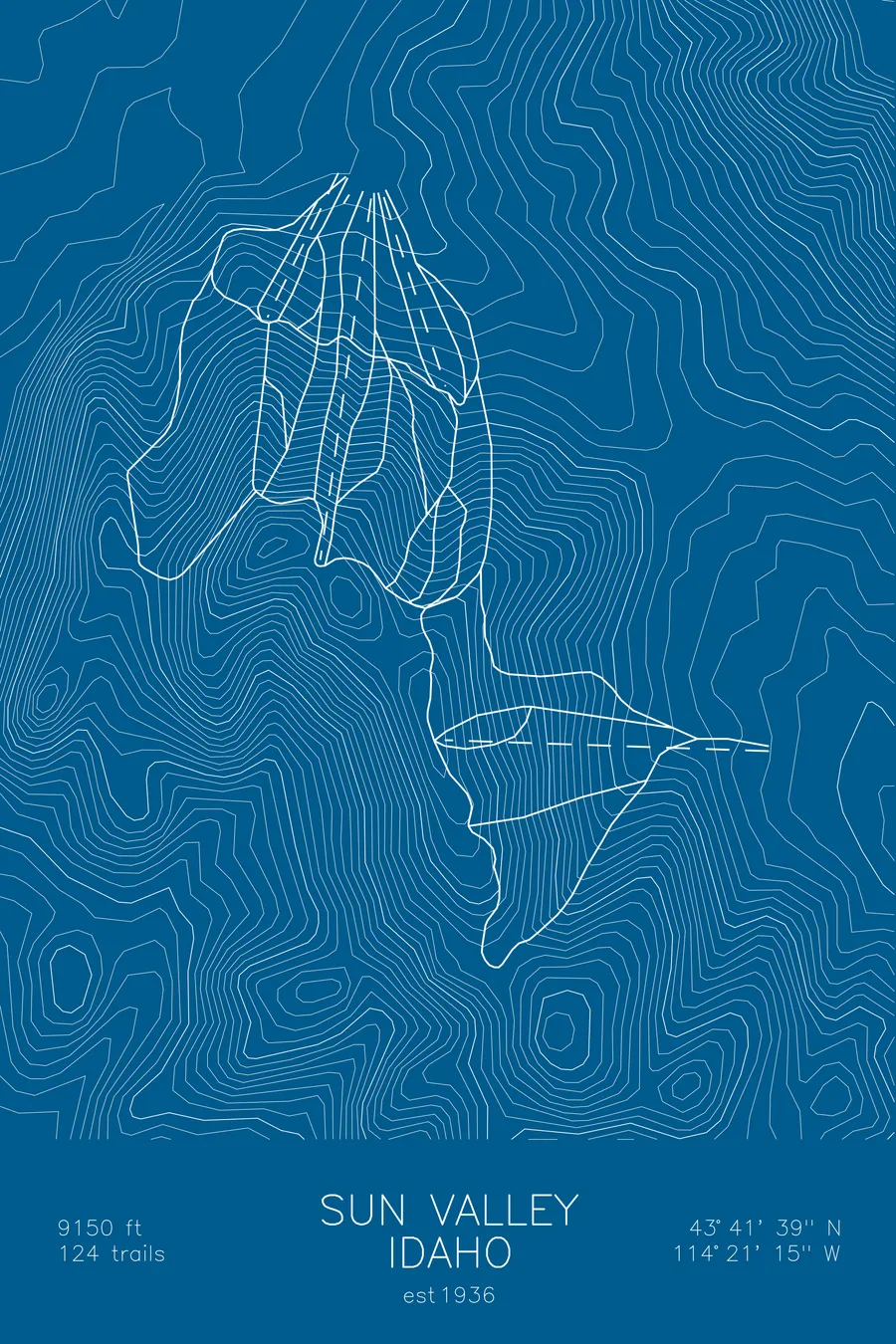
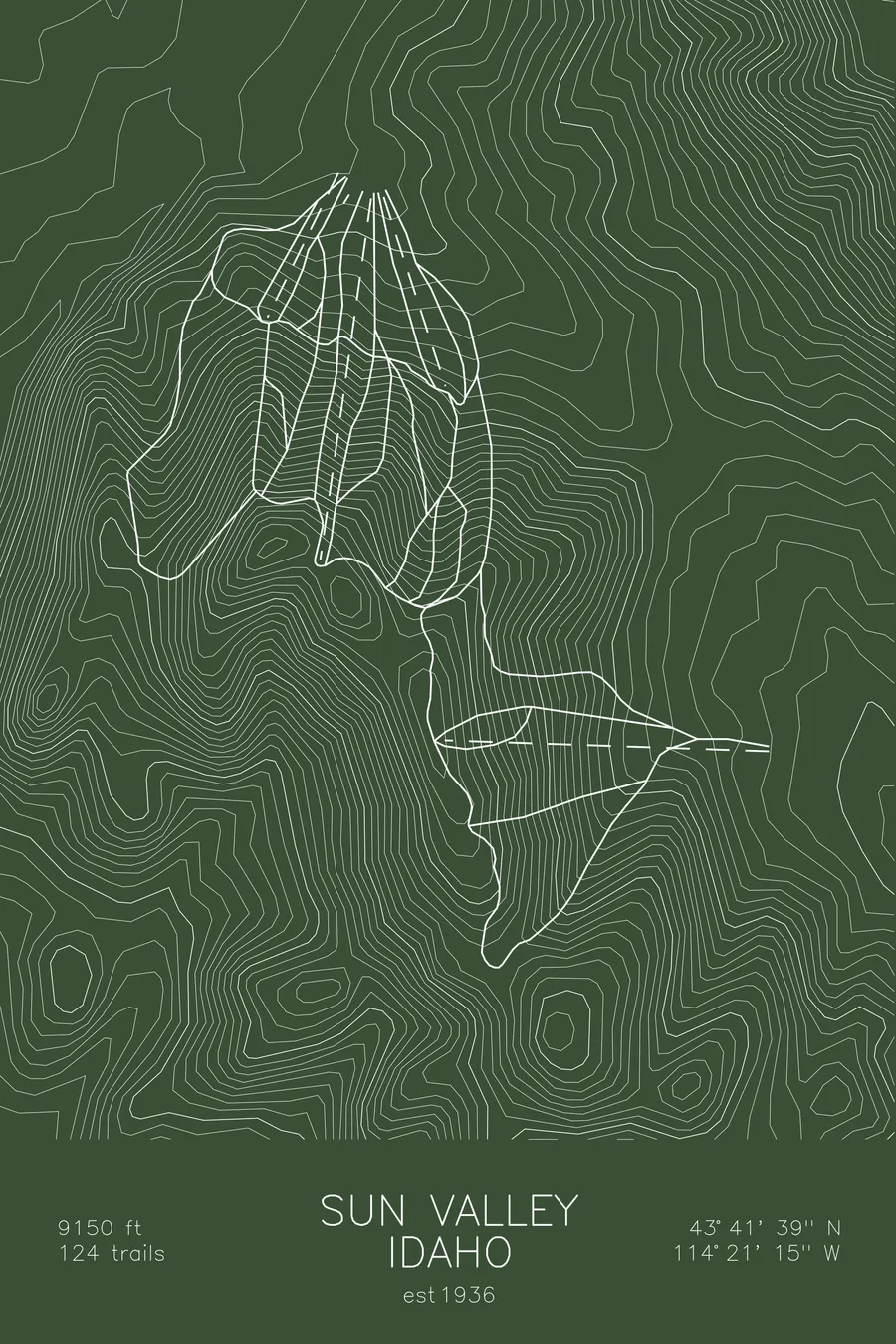
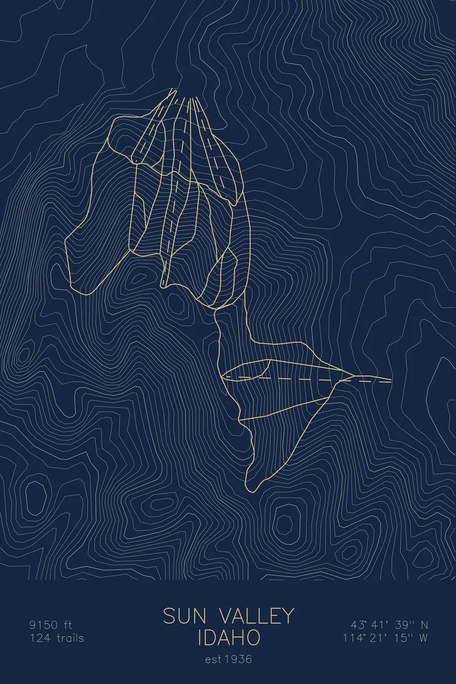
A topographic ski map of Sun Valley, Idaho, with the resort's runs and lifts drawn over real terrain in a minimalist contour-line design.
Est. 1936. 124 trails. 9,150 feet above sea level.
$63
Ink & paper: Arctic White
Size: 12×18"
+Personalize this map
+ Details
- 12 × 18 inches
- Drawn on 98 lb (160 gsm) archival cotton paper
- Precision technical pens and archival inks
- Signed and dated on the back
- Ships flat, protected, ready to frame
Each map begins with elevation data and is drawn by a pen plotter in our Vermont studio. Mechanical precision, plus the texture and small imperfections of real ink on paper.
Off the screen
In real rooms



















+ About this map
Sun Valley is where American destination skiing began. Founded in 1936, it installed the world’s first chairlift that same winter and drew Hollywood to the mountains of central Idaho. Its centerpiece is Bald Mountain, rising to 9,150 feet above the town of Ketchum, prized for a rare consistency of pitch: 124 trails that hold their fall line from top to bottom with almost no flats. Bowls spill off the ridgetops while long groomers run the flanks.
The contour map traces Baldy’s evenly spaced ridges and drainages, the geometry behind one of the most perfectly pitched ski mountains anywhere.
+ Map details
- Sun Valley
- Idaho
- United States
- Rocky Mountains
- 9,150 ft / 2,789 m
- 43.6942N 114.3542W
- Ski resort trail map
- Original pen plot, archival ink on cotton paper
- 8 × 12 in · 12 × 18 in · 18 × 24 in
- Est. 1936. 124 trails
More maps