Maine
Sunday River
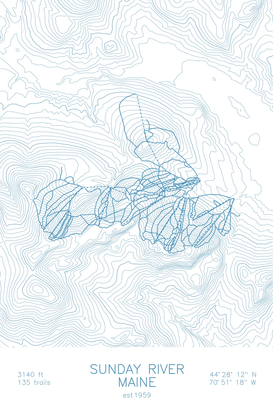
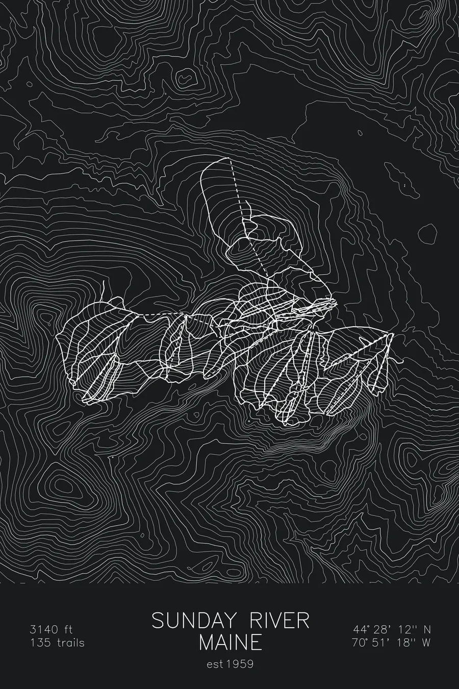
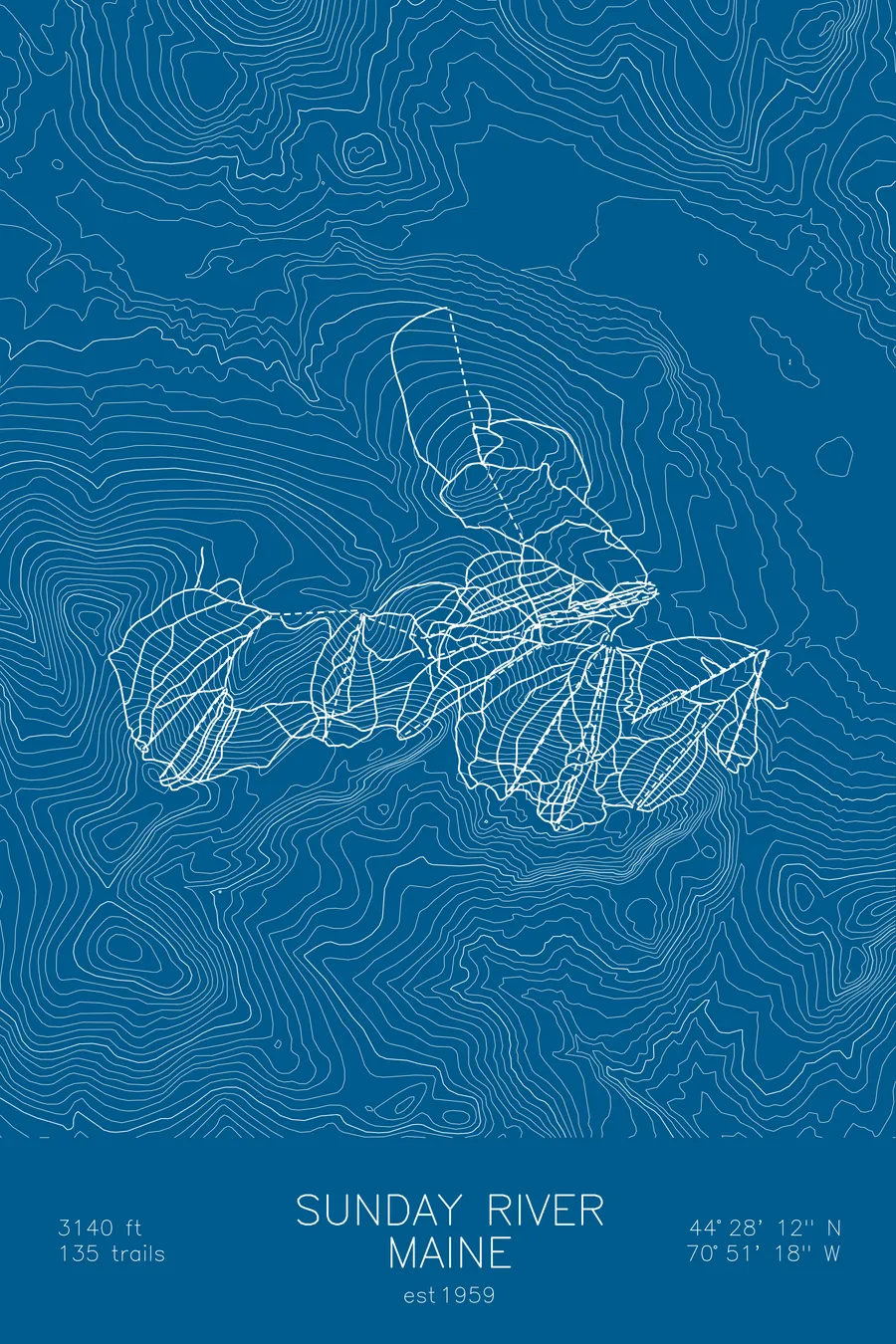
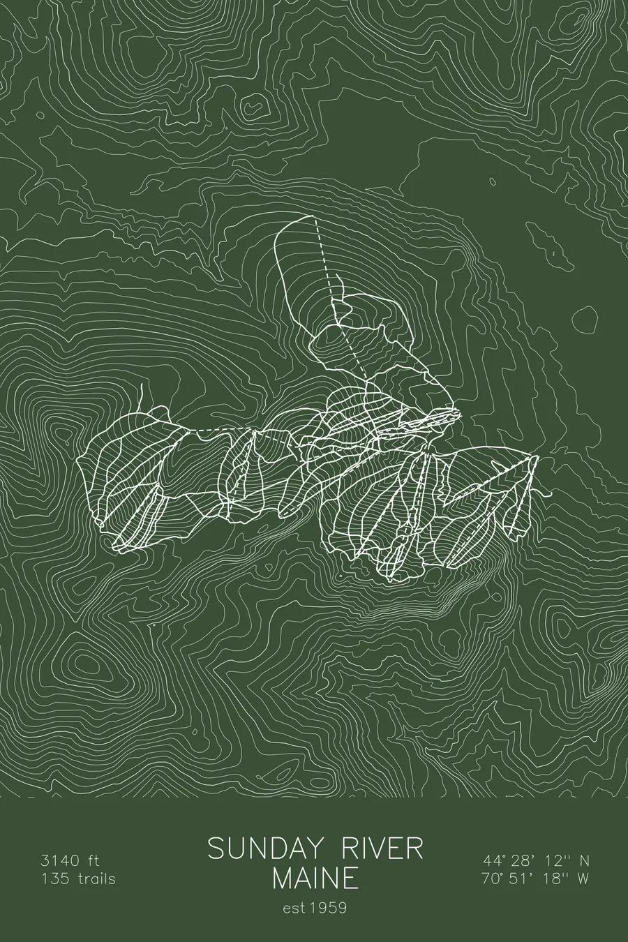
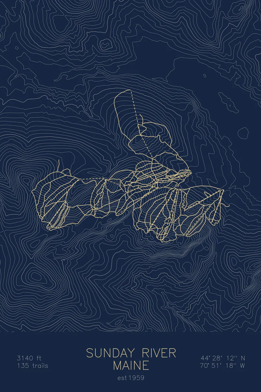
A topographic ski map of Sunday River, Maine, with the resort's runs and lifts drawn over real terrain in a minimalist contour-line design.
Est. 1959. 135 trails. 3,140 feet above sea level.
$63
Ink & paper: Arctic White
Size: 12×18"
+Personalize this map
+ Details
- 12 × 18 inches
- Drawn on 98 lb (160 gsm) archival cotton paper
- Precision technical pens and archival inks
- Signed and dated on the back
- Ships flat, protected, ready to frame
Each map begins with elevation data and is drawn by a pen plotter in our Vermont studio. Mechanical precision, plus the texture and small imperfections of real ink on paper.
Off the screen
In real rooms



















+ About this map
Sunday River is one of Maine’s largest ski areas, its 135 trails spread across eight interconnected peaks in the Mahoosuc Range near Bethel. Skiing here means traversing a three-mile-wide ridgeline, from the beginner terrain of South Ridge to the steeps of White Cap, where Shockwave and White Heat rank among the East’s most demanding trails, with Oz and Jordan Bowl anchoring the far western end.
The resort’s snowmaking system is one of the most powerful in the world, letting Sunday River open early, close late, and recover fast from New England’s fickle weather. The contour map captures the full sweep of the eight-peak ridgeline and the valleys that separate it from the surrounding Mahoosucs.
+ Map details
- Sunday River
- Maine
- United States
- New England
- 3,140 ft / 957 m
- 44.4700N 70.8550W
- Ski resort trail map
- Original pen plot, archival ink on cotton paper
- 8 × 12 in · 12 × 18 in · 18 × 24 in
- Est. 1959. 135 trails
More maps