Colorado
Tabeguache Peak
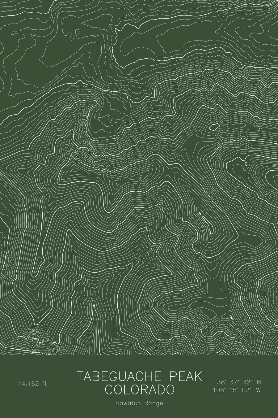
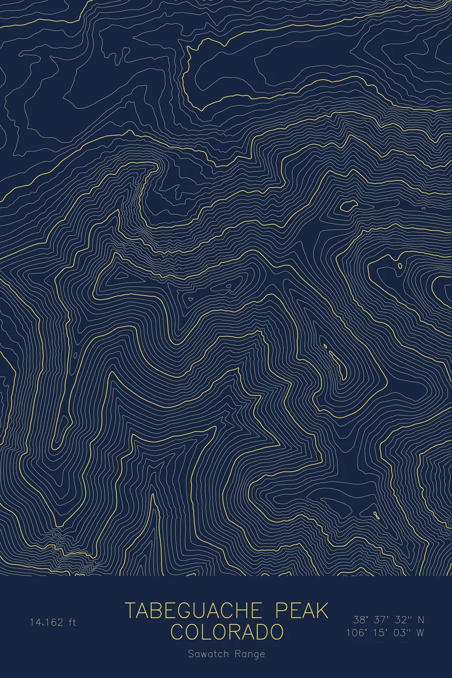
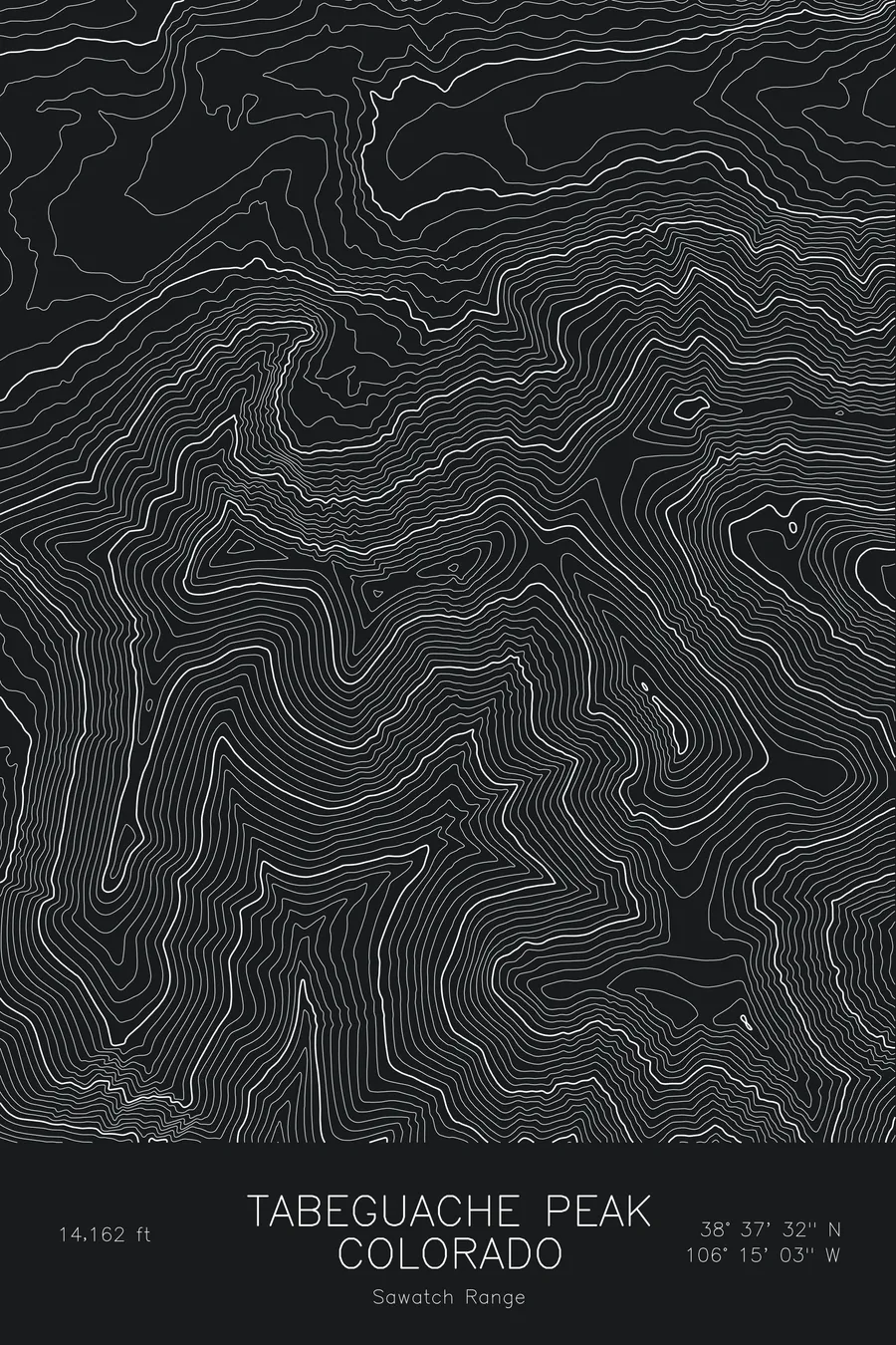
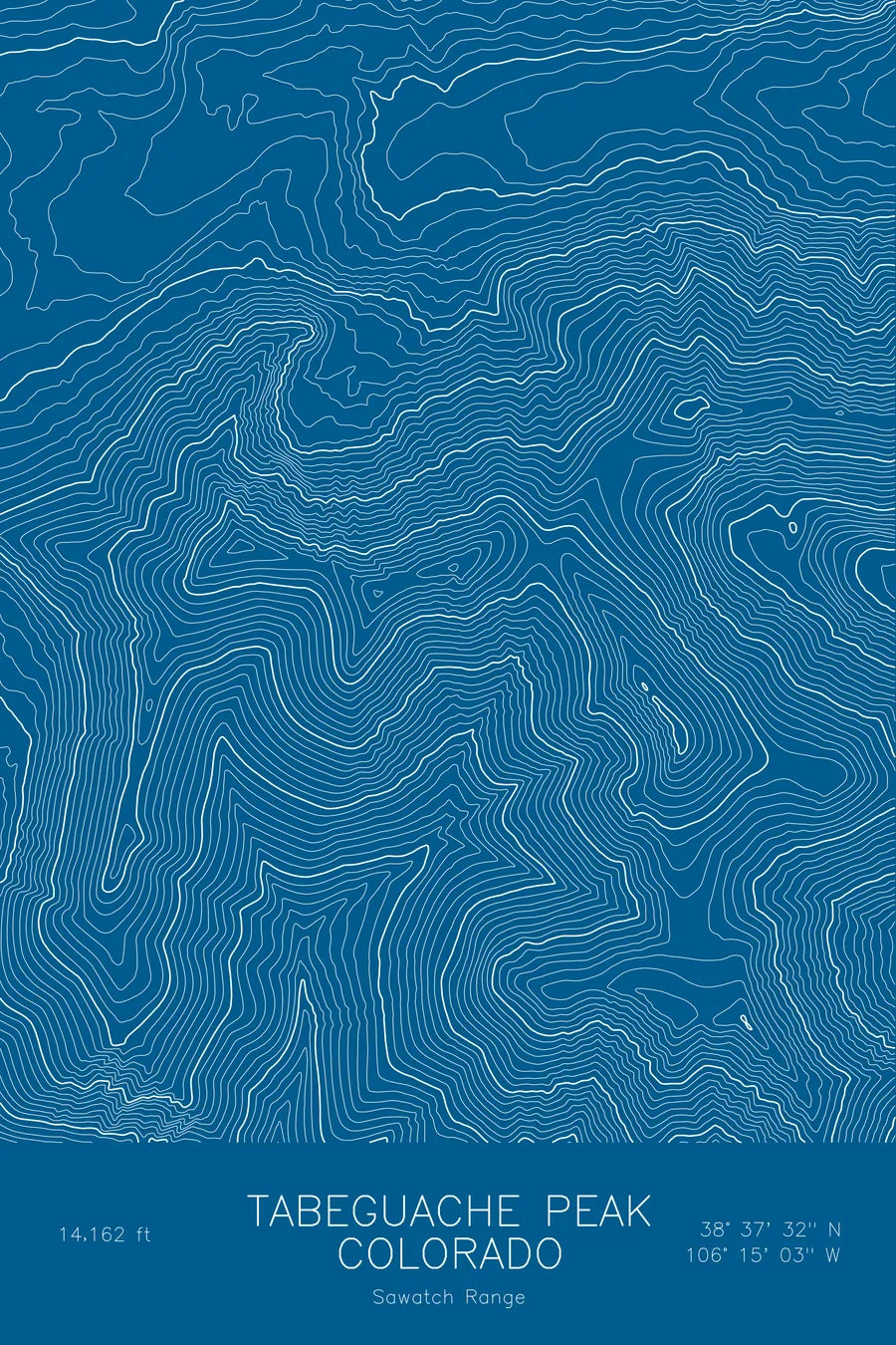
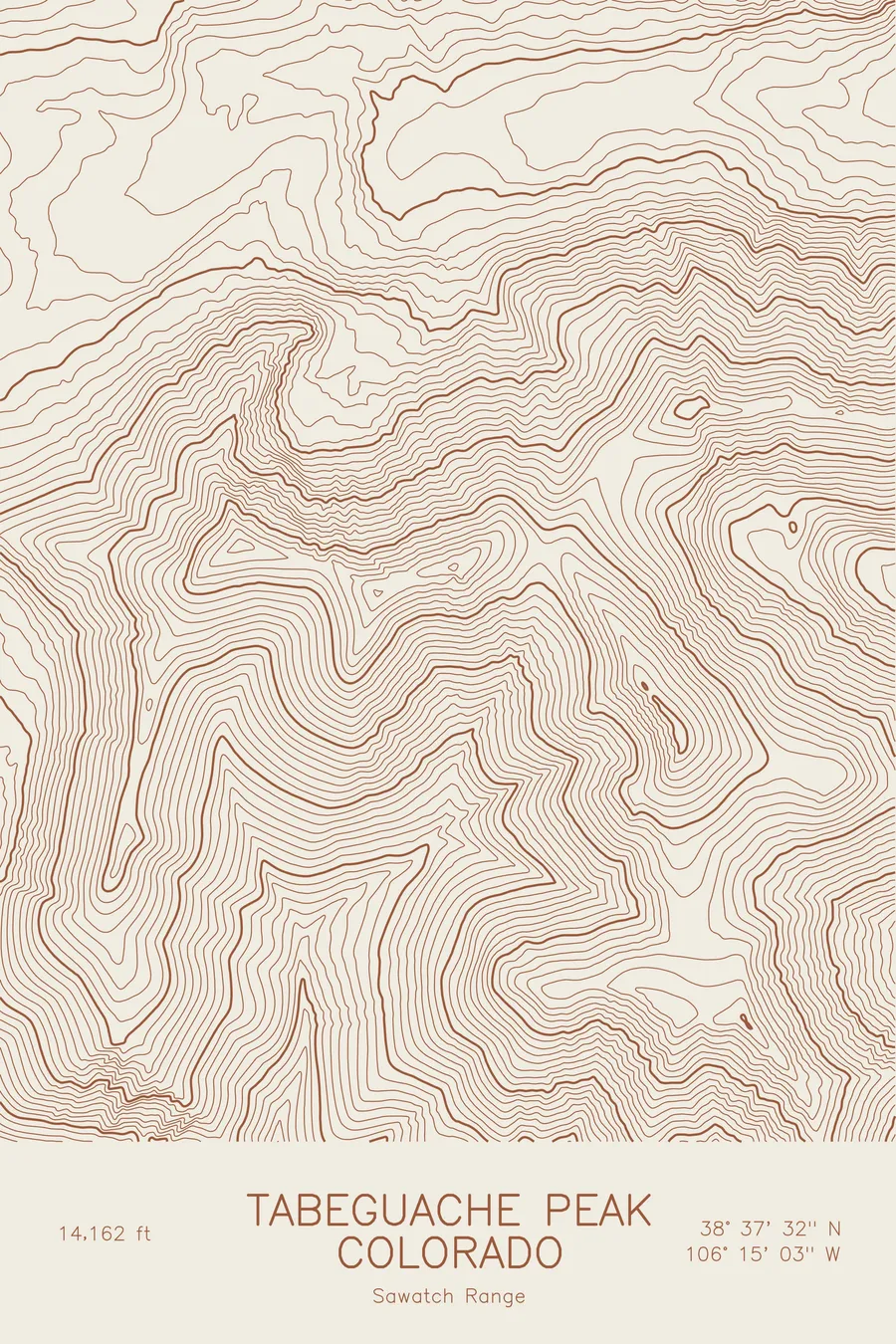
A pen-plotted topographic map of Tabeguache Peak in the Sawatch Range, Colorado, drawn from real elevation contour data.
Twin of Mount Shavano, usually climbed together. 14,162 feet above sea level.
$54
Ink & paper: Blue
Size: 12×18"
+Personalize this map
+ Details
- 12 × 18 inches
- Drawn on 98 lb (160 gsm) archival cotton paper
- Precision technical pens and archival inks
- Signed and dated on the back
- Ships flat, protected, ready to frame
Each map begins with elevation data and is drawn by a pen plotter in our Vermont studio. Mechanical precision, plus the texture and small imperfections of real ink on paper.
Off the screen
In real rooms



















+ About this map
Tabeguache Peak rises to 14,162 feet at the southern end of Colorado’s Sawatch Range, the twin of Mount Shavano and rarely climbed on its own. The two summits sit about a mile apart, connected by a high saddle, and the standard route traverses from Shavano’s summit and back. The name is that of a band of the Ute people whose homeland included these mountains.
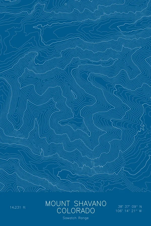
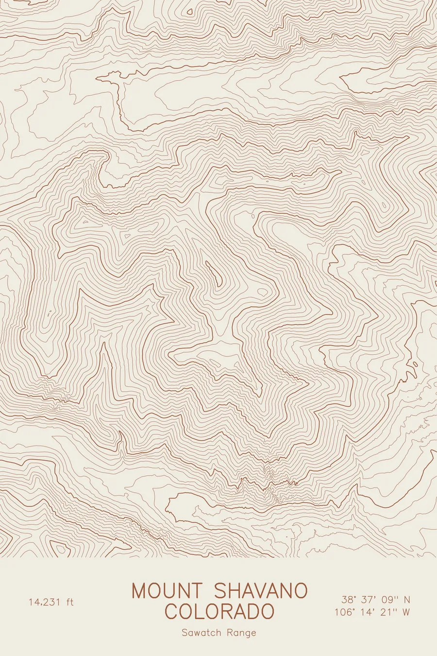
This map traces the pair of summits and the ridge between them. Shavano’s summit, the highest ground in the frame, sits to the southeast of Tabeguache, and the connecting ridge is drawn as a continuous crest of tight contours dipping briefly into the saddle. Tabeguache’s north and west sides fall steeply into the headwaters of the Arkansas tributaries, while the ridges to the south settle into gentler slopes. Within this frame the terrain covers about 3,300 feet, all of it well above the valley.
+ Map details
- Tabeguache Peak
- Colorado
- United States
- Sawatch Range
- Sawatch Range
- 14,162 ft / 4,317 m
- 38.6255N 106.2509W
- Mountain topographic map
- Original pen plot, archival ink on cotton paper
- 8 × 12 in · 12 × 18 in · 18 × 24 in
- Twin of Mount Shavano, usually climbed together
More maps