Washington
Tiger Mountain
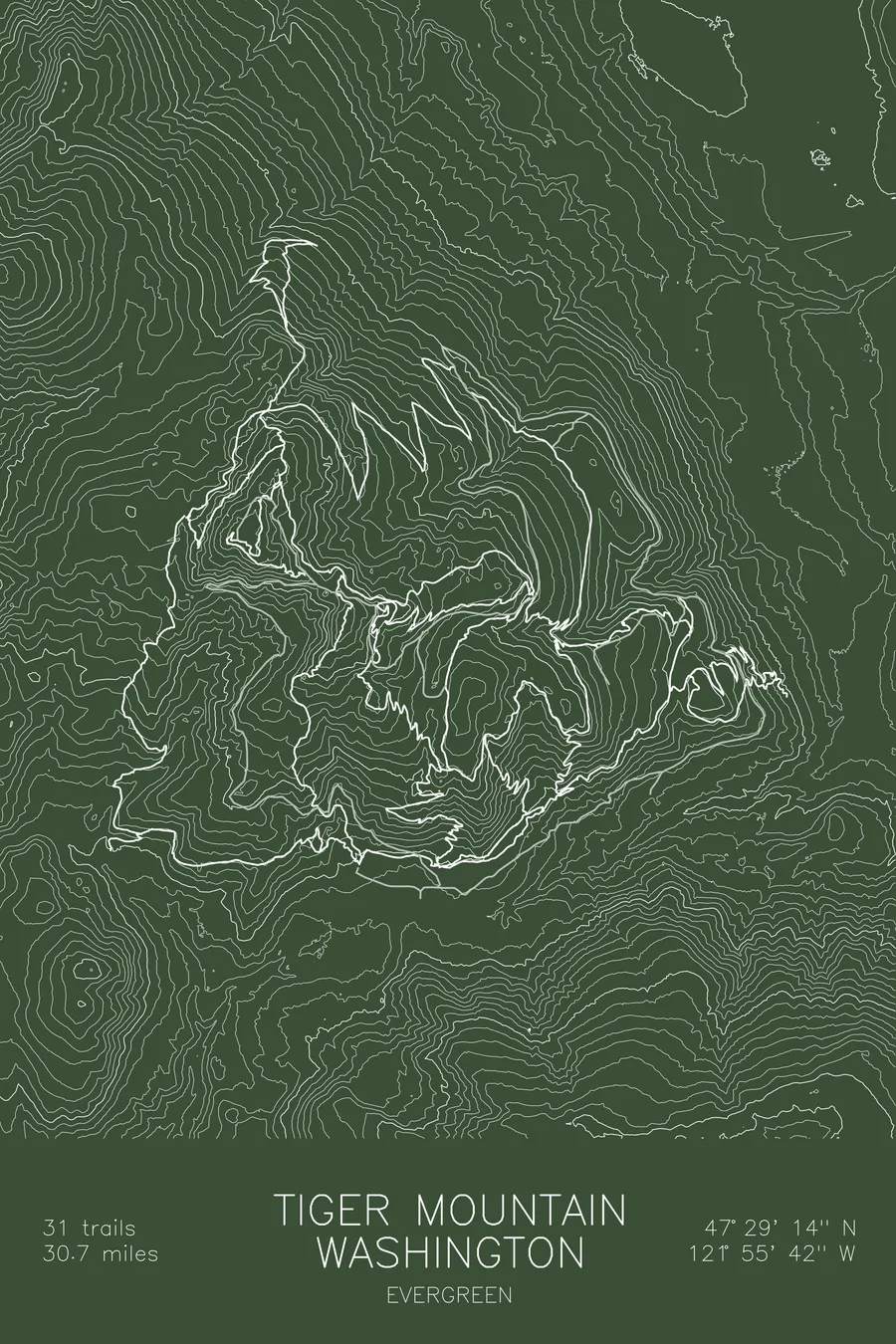
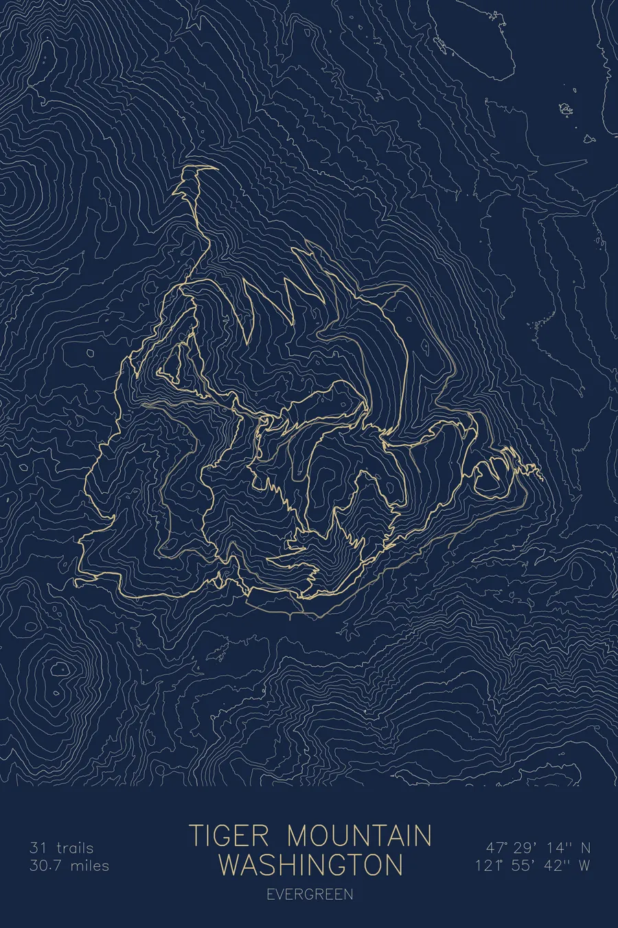
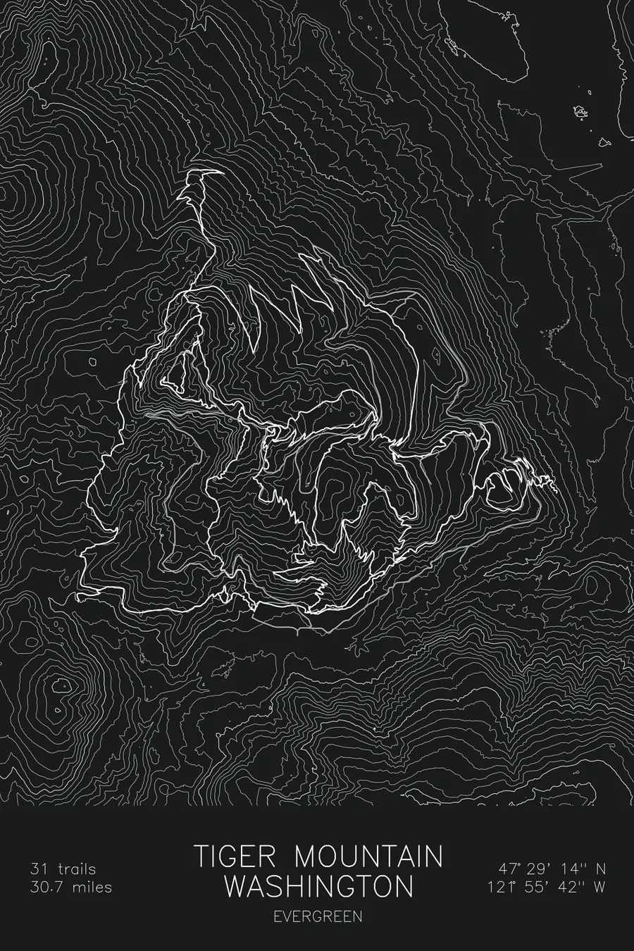
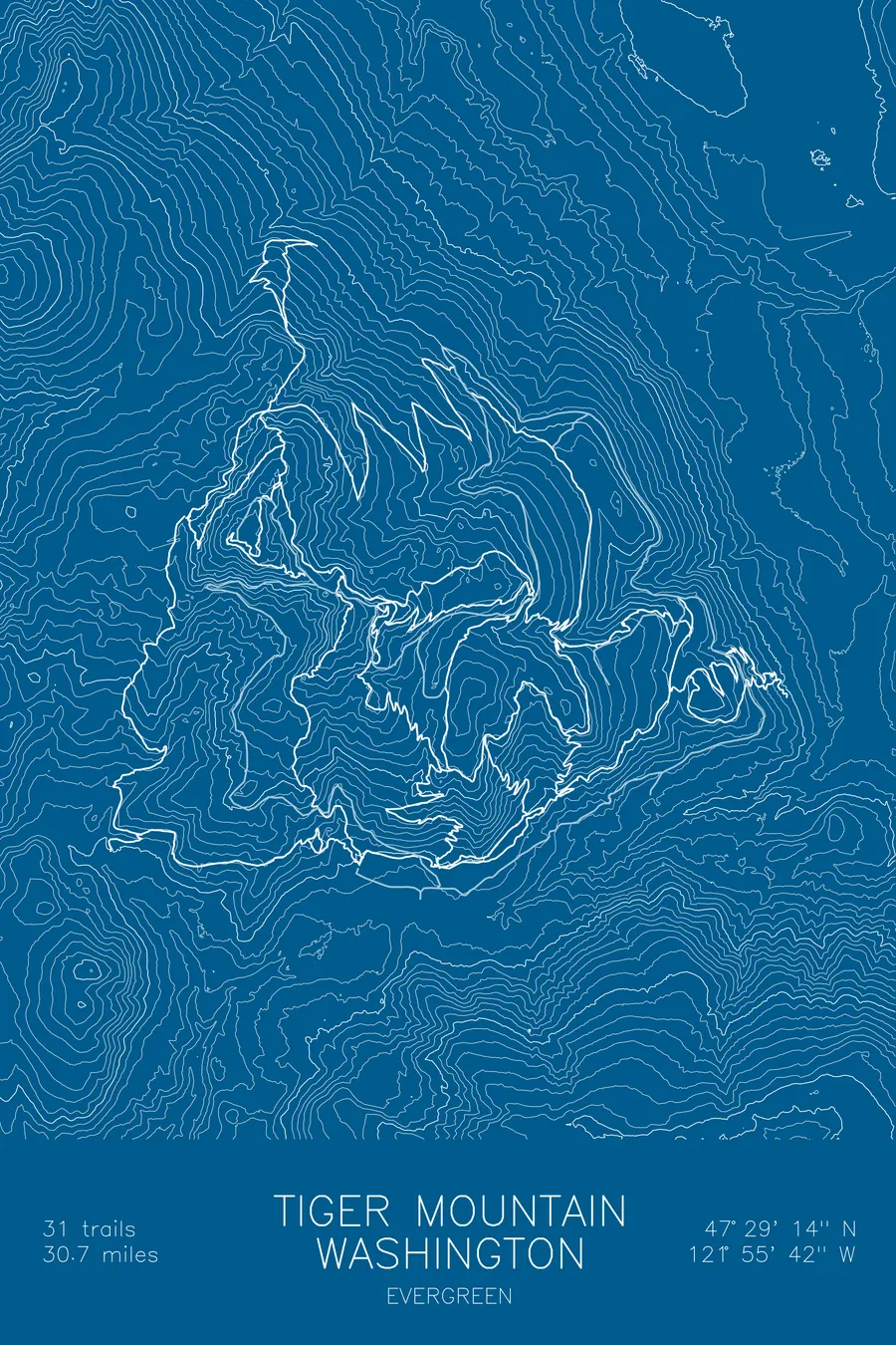
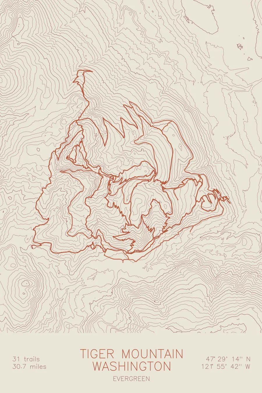
A mountain bike trail map of Tiger Mountain, Washington, combining the trail network with the surrounding topography.
31 trails, 30.7 miles of singletrack.
$63
Ink & paper: Black
Size: 12×18"
+Personalize this map
+ Details
- 12 × 18 inches
- Drawn on 98 lb (160 gsm) archival cotton paper
- Precision technical pens and archival inks
- Signed and dated on the back
- Ships flat, protected, ready to frame
Each map begins with elevation data and is drawn by a pen plotter in our Vermont studio. Mechanical precision, plus the texture and small imperfections of real ink on paper.
Off the screen
In real rooms



















+ About this map
Tiger Mountain State Forest sits just off I-90 near Issaquah, the closest real mountain riding to Seattle. The trails climb through working timberland toward the East Tiger summit, then come down the way Washington riders like it: Predator’s steep, rooty fall line for the tech crowd and the long machine-built flow of Off the Grid for everyone else. The forest holds 31 trails and 30.7 miles of singletrack.
The map traces the network up and over the contours of East Tiger. The contour lines stack into a proper climb, roughly two thousand feet from the lot to the summit, and the trail lines show the deal you make here: a sustained grind up the road and climbing trails, paid back in descents that use the whole mountainside on the way down.
+ Map details
- Tiger Mountain
- Washington
- United States
- Pacific Northwest
- 3,009 ft / 917 m
- 47.4872N 121.9283W
- Mountain bike trail map
- Original pen plot, archival ink on cotton paper
- 8 × 12 in · 12 × 18 in · 18 × 24 in
- 31 trails, 30.7 miles of singletrack
More maps