Chile
Villarrica
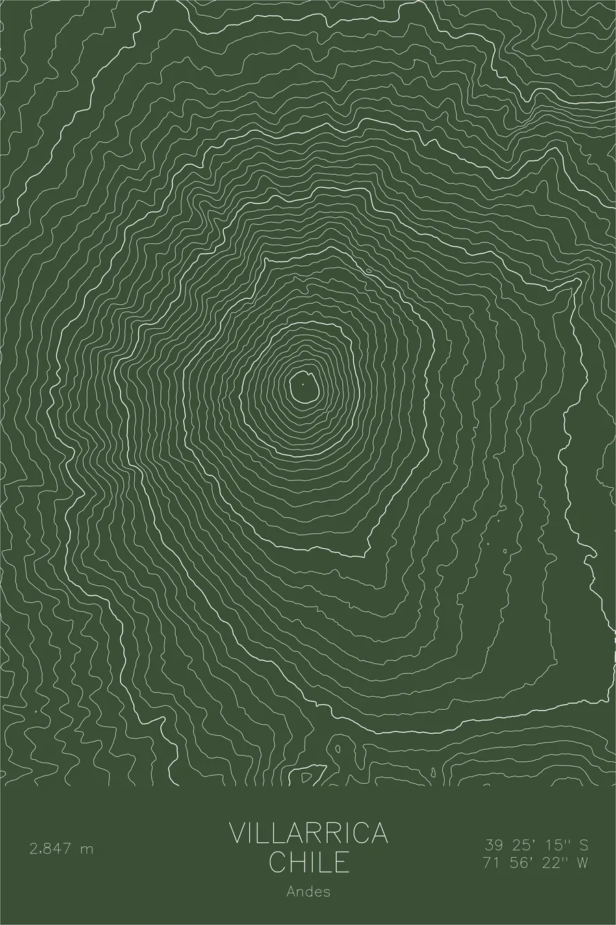
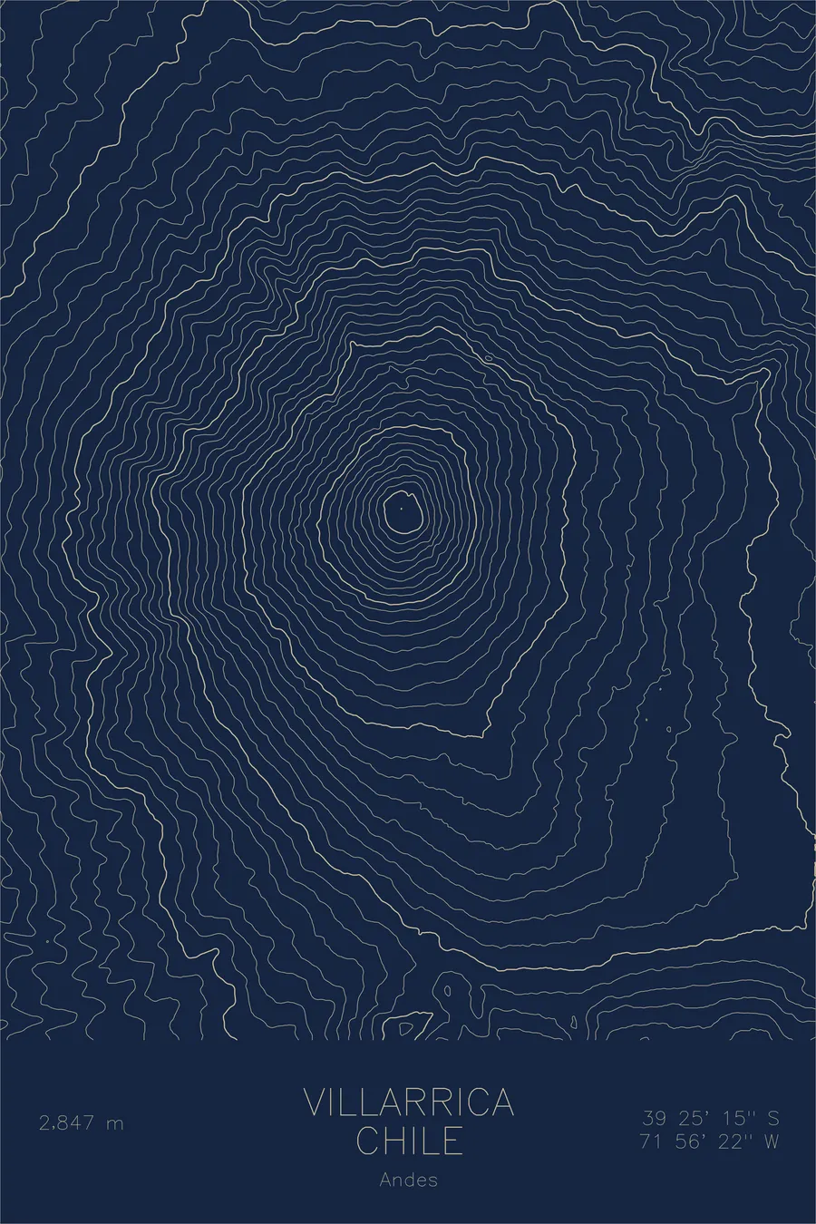
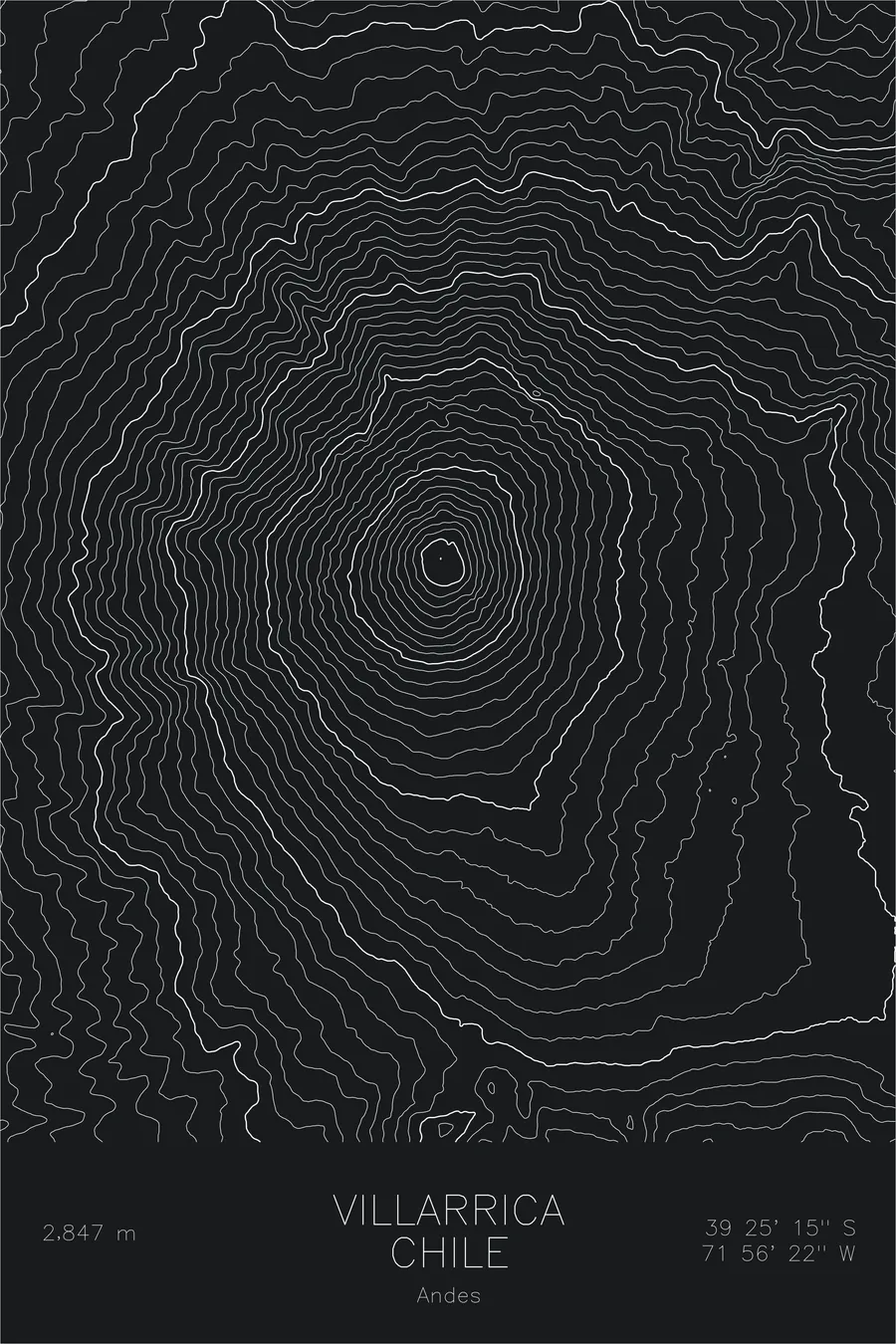
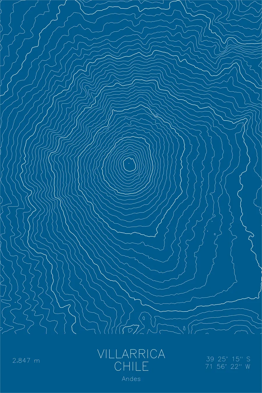
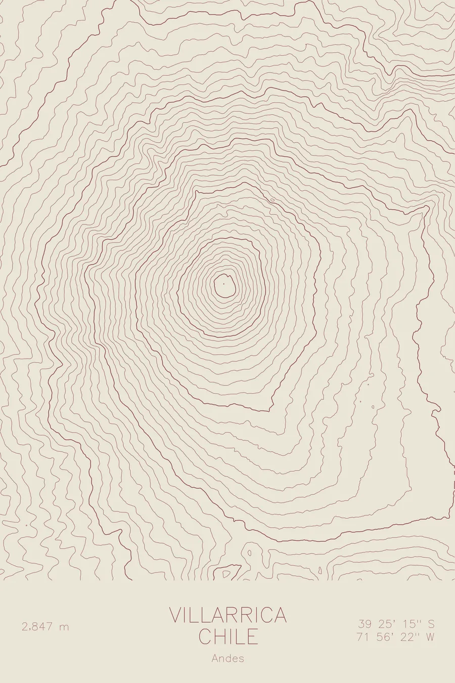
A pen-plotted topographic map of Villarrica in the Andes, Chile, drawn from real elevation contour data.
One of Chile's most active and popular volcanoes. 9,341 feet above sea level.
$54
Ink & paper: Navy
Size: 12×18"
+Personalize this map
+ Details
- 12 × 18 inches
- Drawn on 98 lb (160 gsm) archival cotton paper
- Precision technical pens and archival inks
- Signed and dated on the back
- Ships flat, protected, ready to frame
Each map begins with elevation data and is drawn by a pen plotter in our Vermont studio. Mechanical precision, plus the texture and small imperfections of real ink on paper.
Off the screen
In real rooms



















+ About this map
Villarrica rises 9,341 feet above the lake district of southern Chile, one of the most active volcanoes in South America. The Mapuche call it Rucapillan, the house of the spirit, and its summit crater often glows at night above the resort town of Pucon. Despite the activity, the mountain is climbed constantly: a single day on crampons brings guided parties to a crater rim where the volcano’s inner workings are sometimes visible below.
This map shows an almost textbook volcanic cone. The contour lines run in smooth, concentric rings from the crater outward, their symmetry broken only by the gullies that meltwater and past eruptions have cut into the glaciated upper slopes. The lines widen steadily toward the base, where the cone settles into the forested lowlands, and the shoreline of Lake Villarrica marks the northern edge of the terrain. Few mountains reduce so cleanly to pure geometry on paper.
+ Map details
- Villarrica
- Chile
- Andes
- Andes
- 9,341 ft / 2,847 m
- 39.4208S 71.9394W
- Mountain topographic map
- Original pen plot, archival ink on cotton paper
- 8 × 12 in · 12 × 18 in · 18 × 24 in
- One of Chile's most active and popular volcanoes
More maps