New Mexico
Wheeler Peak
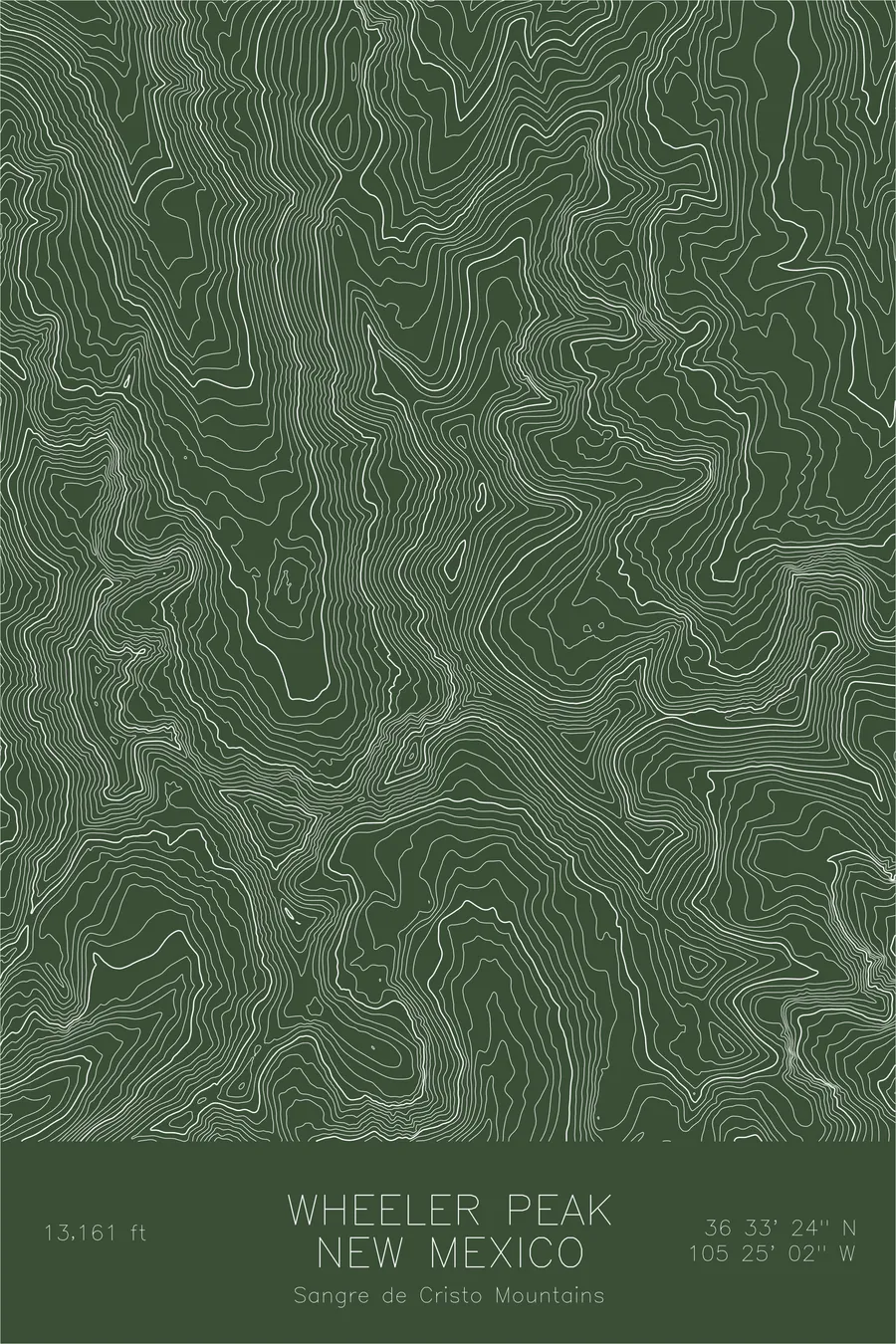
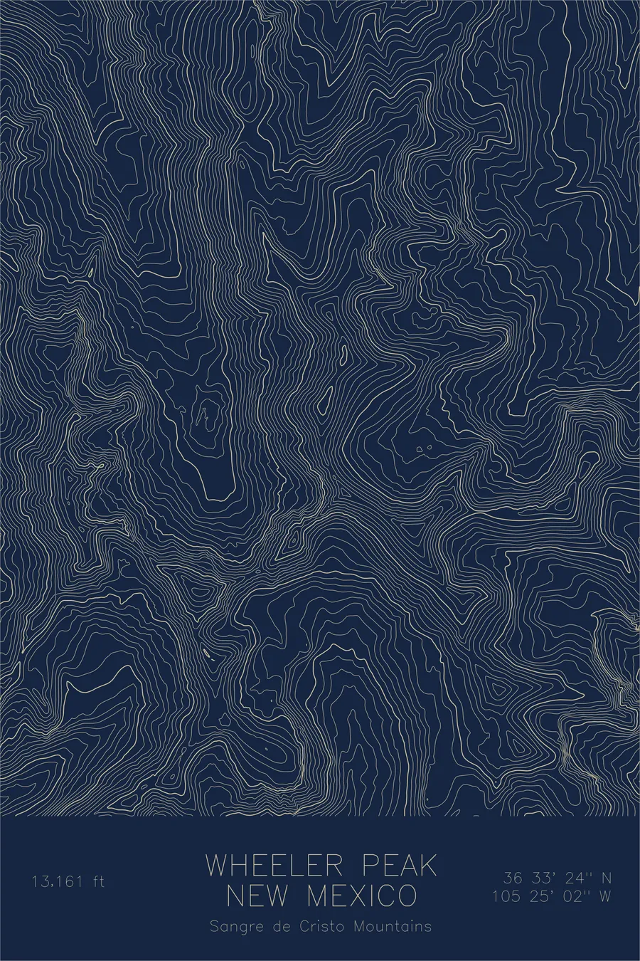
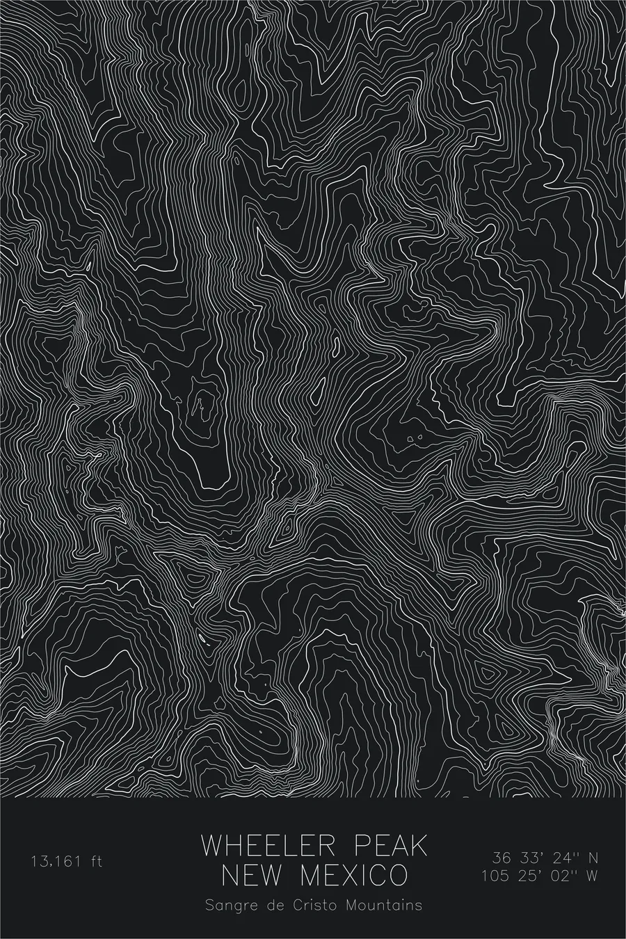
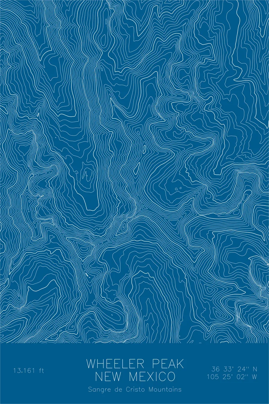
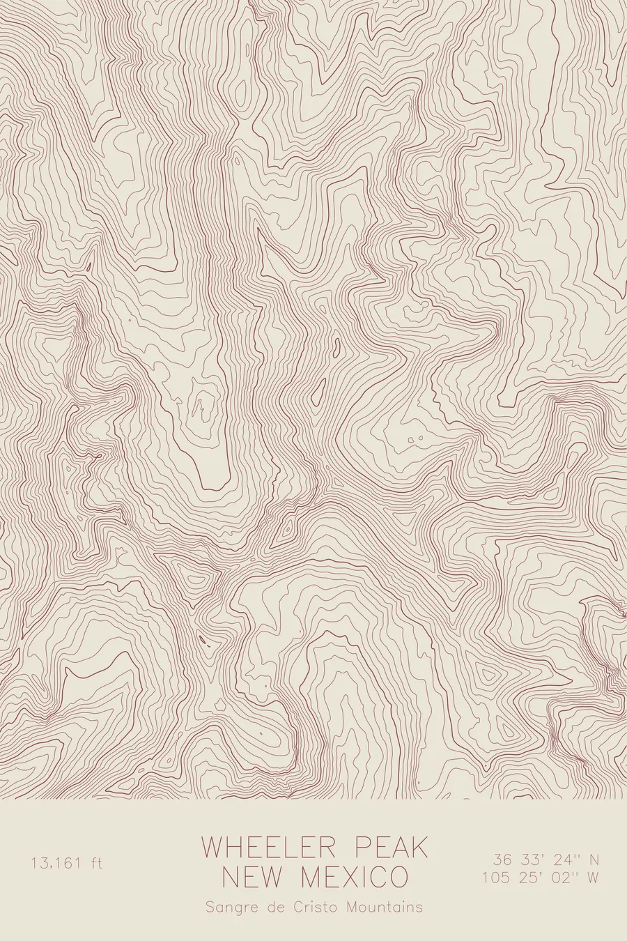
A pen-plotted topographic map of Wheeler Peak in the Sangre de Cristo Mountains, New Mexico, drawn from real elevation contour data.
Highest peak in New Mexico. 13,161 feet above sea level.
$54
Ink & paper: Cream
Size: 12×18"
+Personalize this map
+ Details
- 12 × 18 inches
- Drawn on 98 lb (160 gsm) archival cotton paper
- Precision technical pens and archival inks
- Signed and dated on the back
- Ships flat, protected, ready to frame
Each map begins with elevation data and is drawn by a pen plotter in our Vermont studio. Mechanical precision, plus the texture and small imperfections of real ink on paper.
Off the screen
In real rooms



















+ About this map
Wheeler Peak rises 13,161 feet in the Sangre de Cristo Mountains, the highest point in New Mexico. It stands in the Taos Mountains near the southern end of the Rocky Mountain chain, where the high country of Colorado makes its last great stand before the ranges fade into desert. The summit ridge carries true alpine tundra, home to bighorn sheep, marmots, and pikas, terrain that feels borrowed from far higher latitudes.
This map shows the concentrated relief around the peak. The contour lines tighten into the cirque that holds Williams Lake, the glacial bowl below the summit that carries the most popular route to the top. From the main summit, the lines follow the crest north over Mount Walter, the state’s second highest point, and along the high ridge that separates the Taos Ski Valley drainages from the East Fork of the Red River. The print captures the roofline of New Mexico, a short but genuine piece of the alpine Rockies.
+ Map details
- Wheeler Peak
- New Mexico
- United States
- Sangre de Cristo Mountains
- Rocky Mountains
- 13,161 ft / 4,013 m
- 36.5567N 105.4172W
- Mountain topographic map
- Original pen plot, archival ink on cotton paper
- 8 × 12 in · 12 × 18 in · 18 × 24 in
- Highest peak in New Mexico
More maps