New York
Whiteface Mountain
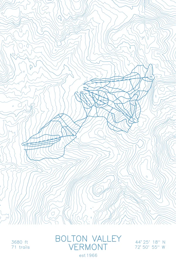
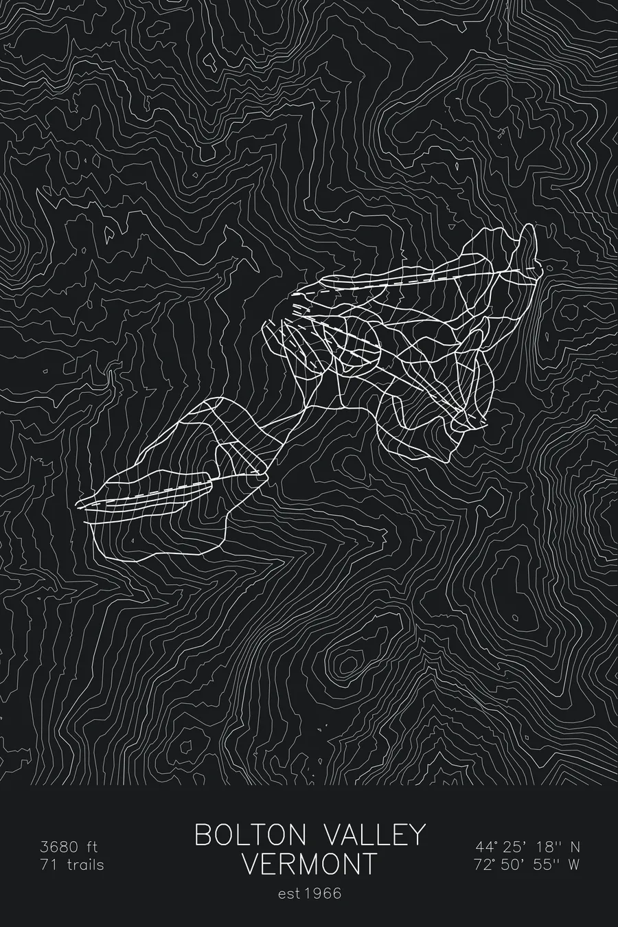
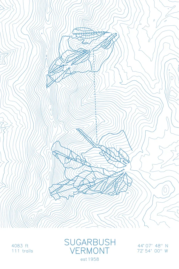
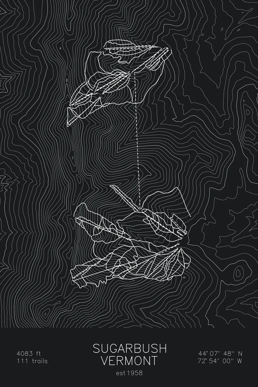
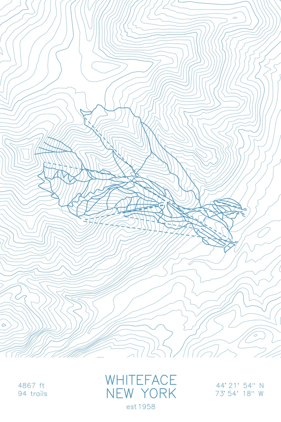
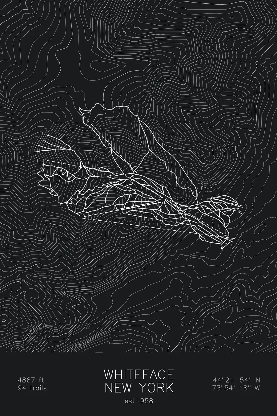
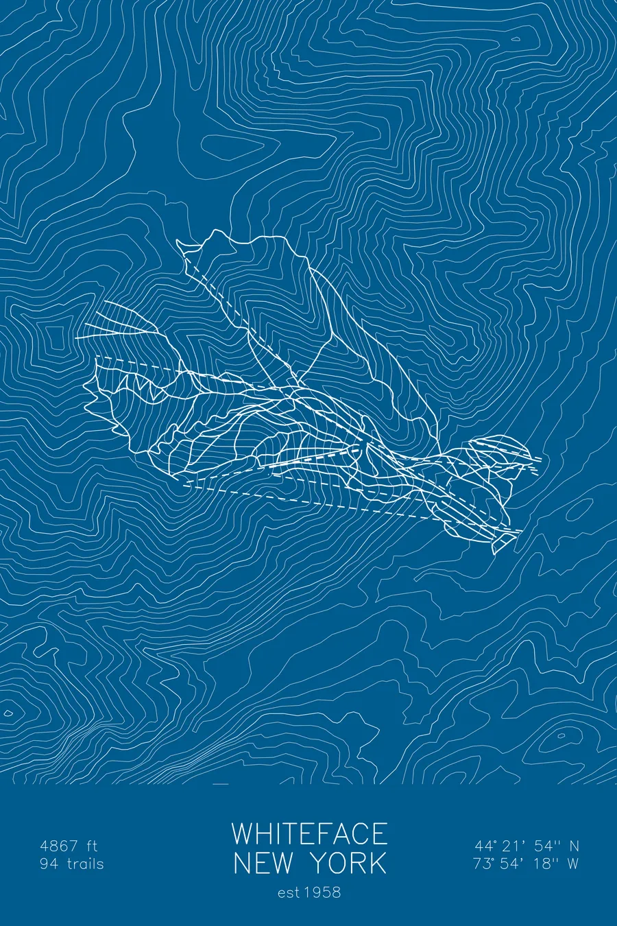
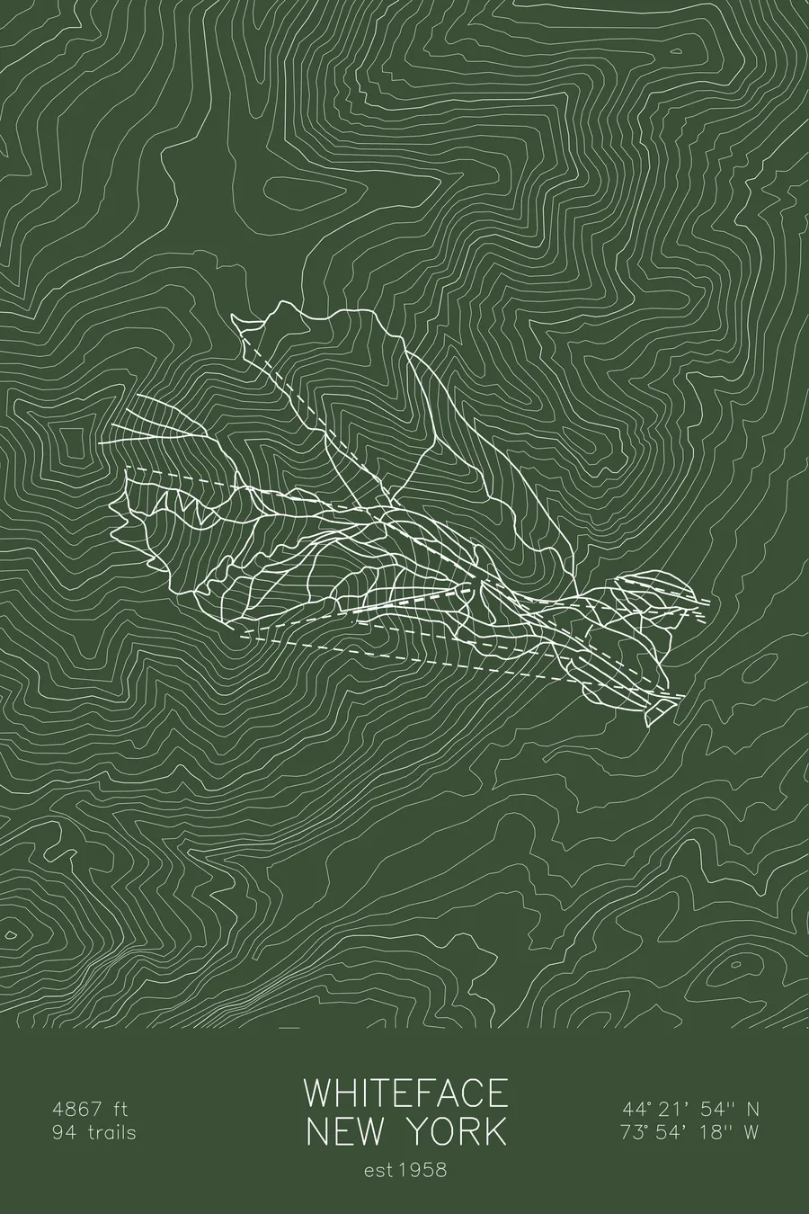
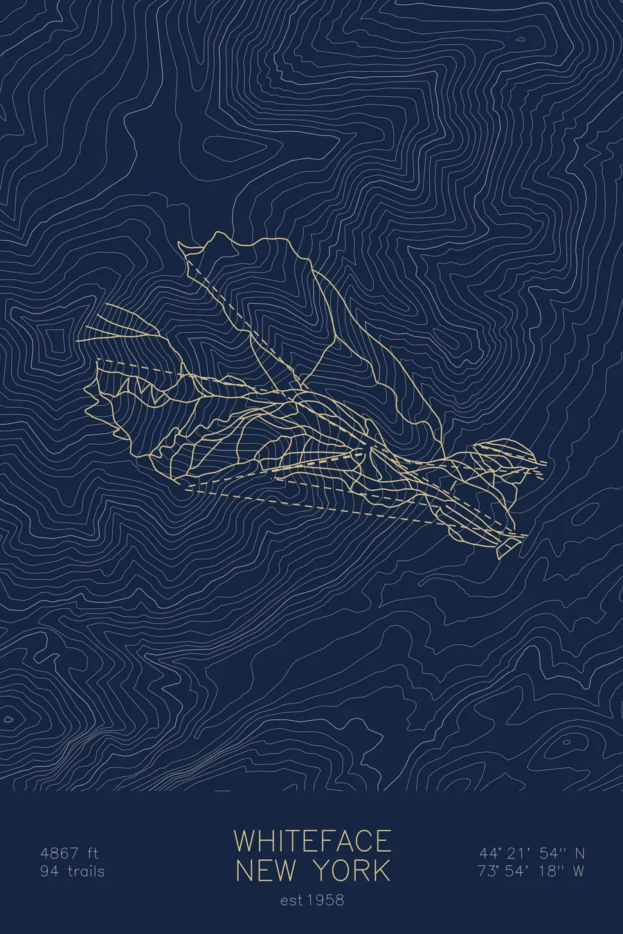
A topographic ski map of Whiteface Mountain, New York, with the resort's runs and lifts drawn over real terrain in a minimalist contour-line design.
Est. 1958. 94 trails. 4,867 feet above sea level.
$63
Ink & paper: Arctic White
Size: 12×18"
+Personalize this map
+ Details
- 12 × 18 inches
- Drawn on 98 lb (160 gsm) archival cotton paper
- Precision technical pens and archival inks
- Signed and dated on the back
- Ships flat, protected, ready to frame
Each map begins with elevation data and is drawn by a pen plotter in our Vermont studio. Mechanical precision, plus the texture and small imperfections of real ink on paper.
Off the screen
In real rooms



















+ About this map
Whiteface rises to 4,867 feet in New York’s Adirondacks, a few miles from Lake Placid, and holds the greatest continuous vertical drop in the eastern United States. Opened in 1958, it hosted the alpine events of the 1980 Winter Olympics, and its steep, exposed upper mountain still skis with a seriousness that earned it the nickname Iceface among loyal East Coast skiers. Its 94 trails include the Slides, in-bounds backcountry terrain on the mountain’s scarred east face.
The contour map shows how abruptly Whiteface stands apart from the surrounding High Peaks, a single sharp pyramid of tightly stacked lines.
+ Map details
- Whiteface Mountain
- New York
- United States
- Adirondacks
- 4,867 ft / 1,483 m
- 44.3650N 73.9050W
- Ski resort trail map
- Original pen plot, archival ink on cotton paper
- 8 × 12 in · 12 × 18 in · 18 × 24 in
- Est. 1958. 94 trails
More maps