Montana
Whitefish Mountain Resort
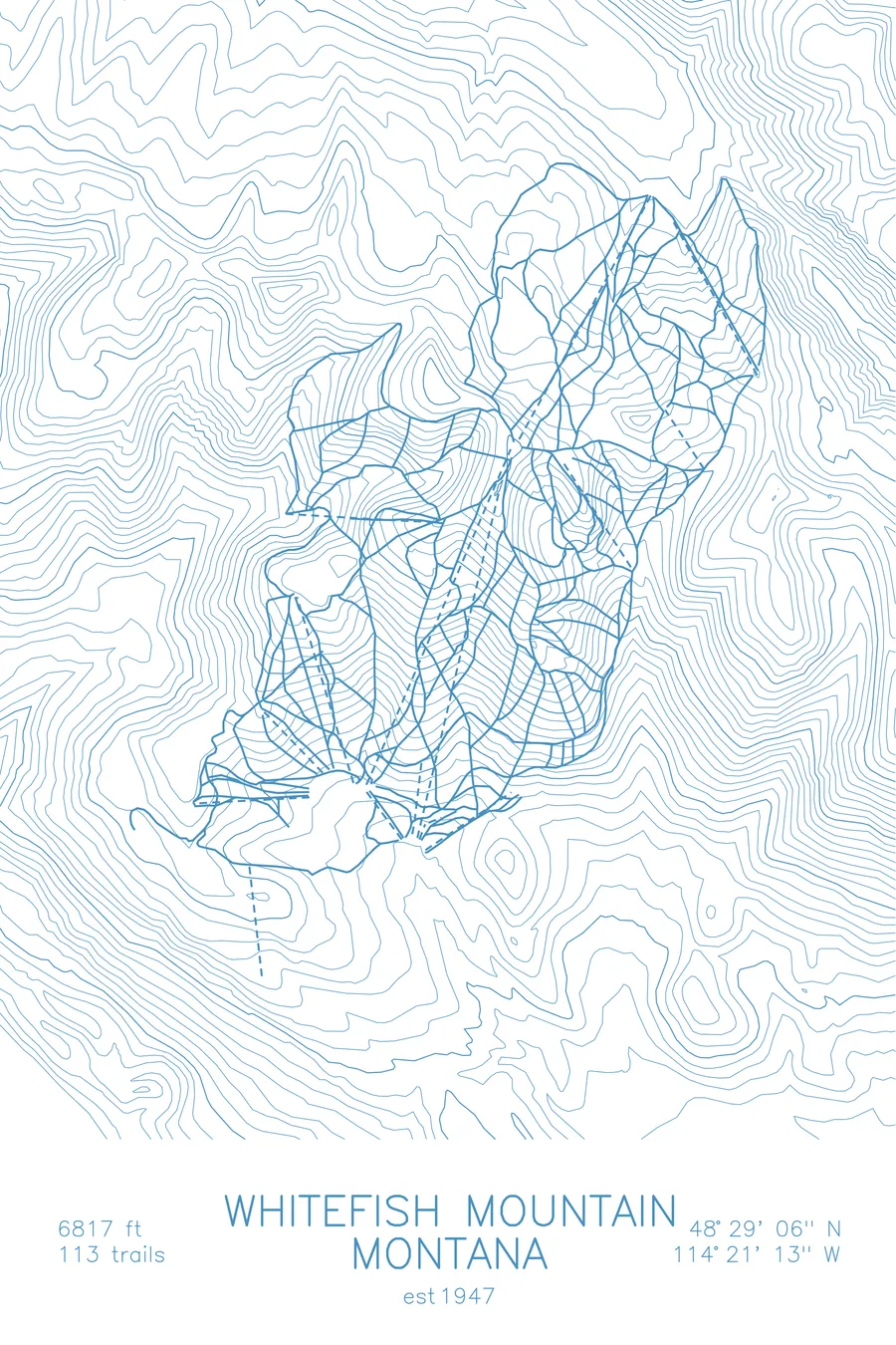
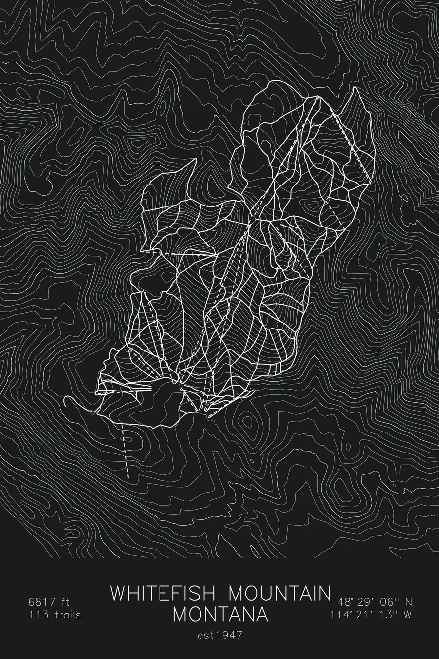
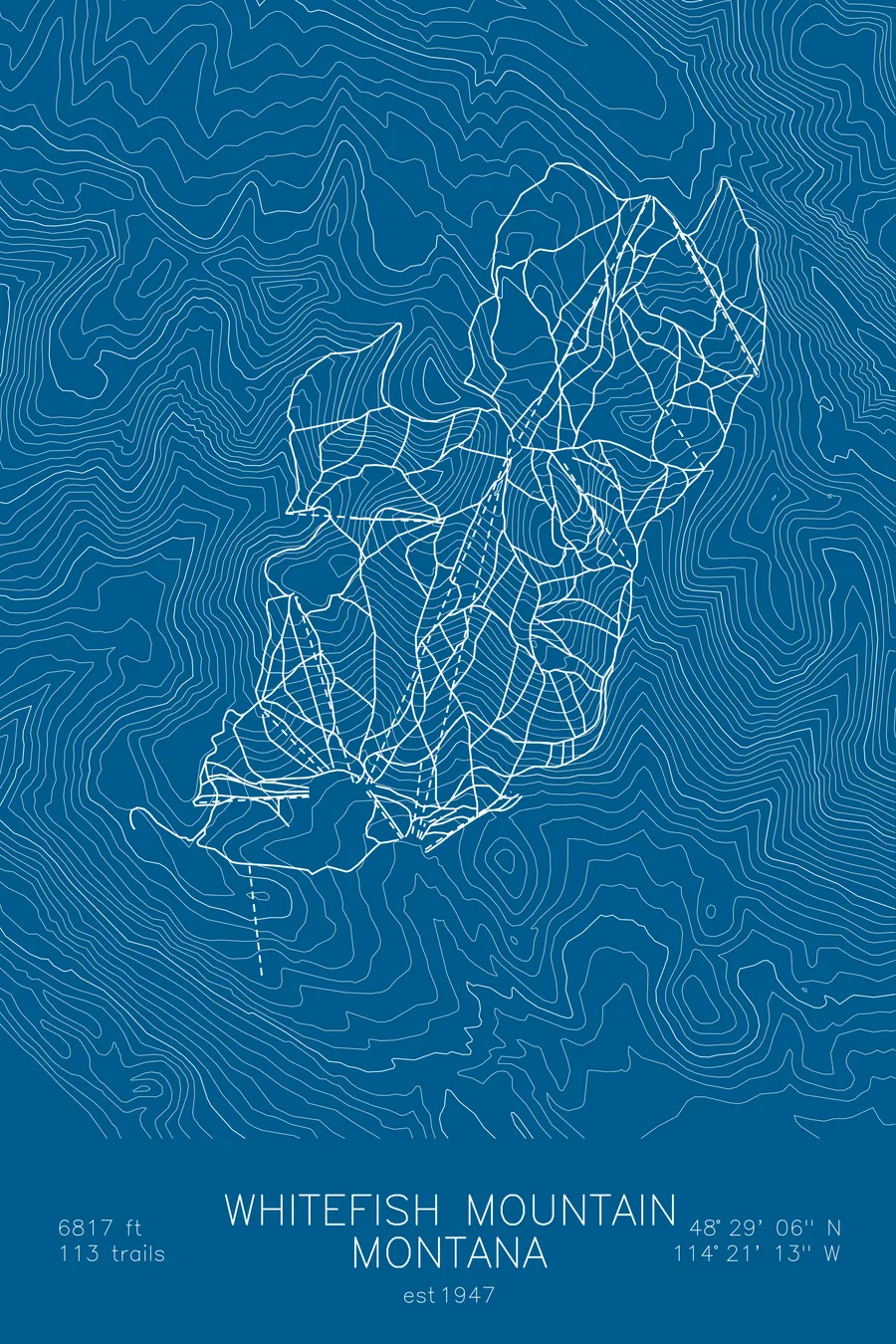
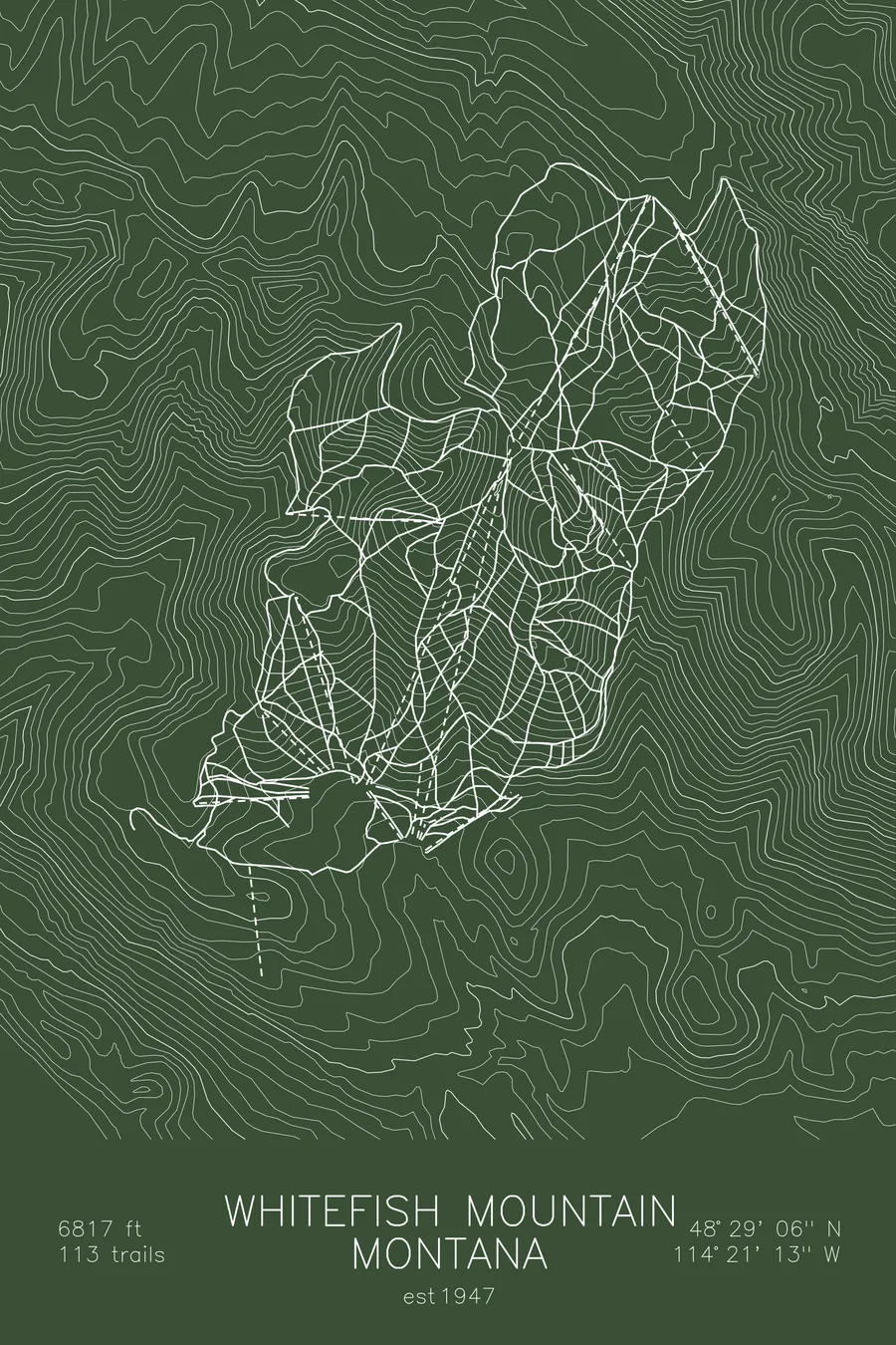
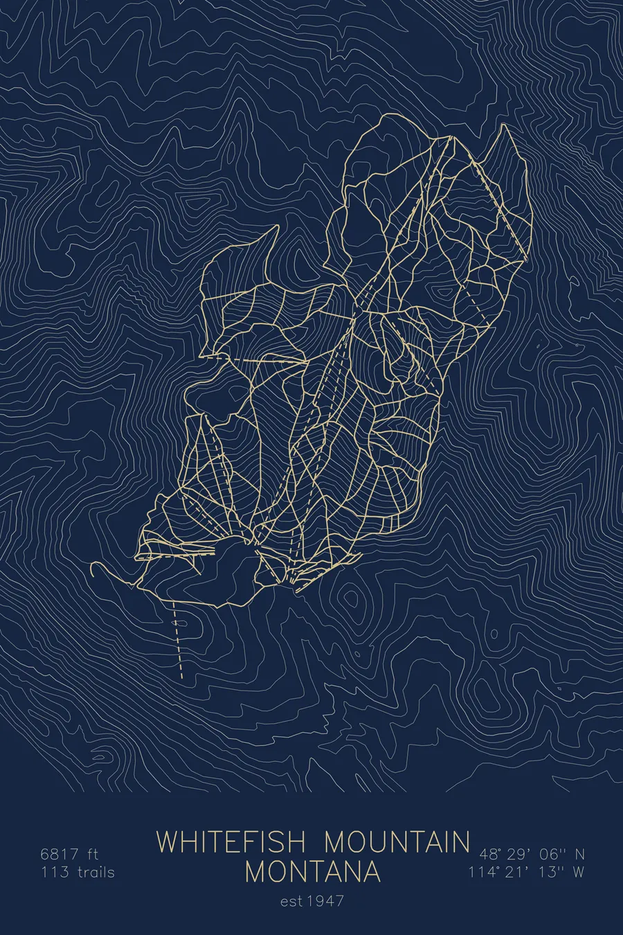
A topographic ski map of Whitefish Mountain Resort, Montana, with the resort's runs and lifts drawn over real terrain in a minimalist contour-line design.
Est. 1947. 113 trails. 6,817 feet above sea level.
$63
Ink & paper: Arctic White
Size: 12×18"
+Personalize this map
+ Details
- 12 × 18 inches
- Drawn on 98 lb (160 gsm) archival cotton paper
- Precision technical pens and archival inks
- Signed and dated on the back
- Ships flat, protected, ready to frame
Each map begins with elevation data and is drawn by a pen plotter in our Vermont studio. Mechanical precision, plus the texture and small imperfections of real ink on paper.
Off the screen
In real rooms



















+ About this map
Whitefish Mountain Resort, known for decades as Big Mountain, has anchored skiing in northern Montana since 1947. Its summit at 6,817 feet looks north toward Glacier National Park and down on Whitefish Lake and the small railroad town below. The mountain is famous for its snow ghosts, trees encased in wind-driven rime that turn the summit into a field of white sculptures, and its 113 trails roll through open bowls and generous glades on every aspect.
The contour map traces the broad, rounded massif and the drainages curling off its shoulders, the shape of a mountain built for wandering.
+ Map details
- Whitefish Mountain Resort
- Montana
- United States
- Rocky Mountains
- 6,817 ft / 2,078 m
- 48.4850N 114.3536W
- Ski resort trail map
- Original pen plot, archival ink on cotton paper
- 8 × 12 in · 12 × 18 in · 18 × 24 in
- Est. 1947. 113 trails
More maps