Colorado
Wolf Creek
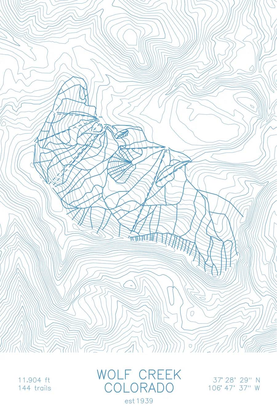
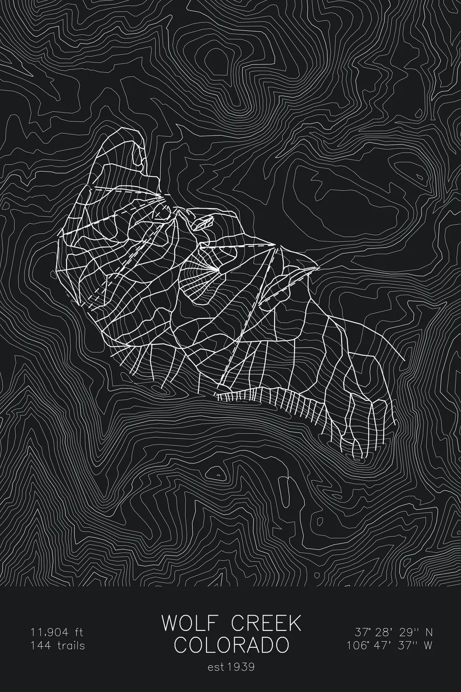
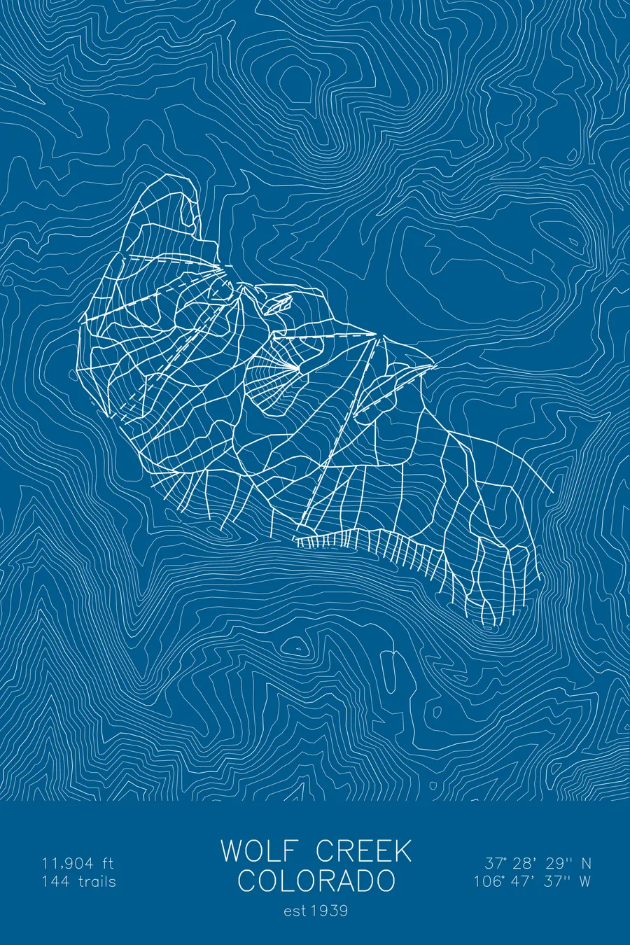
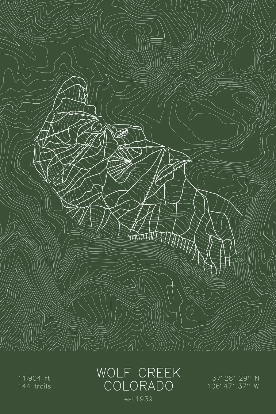
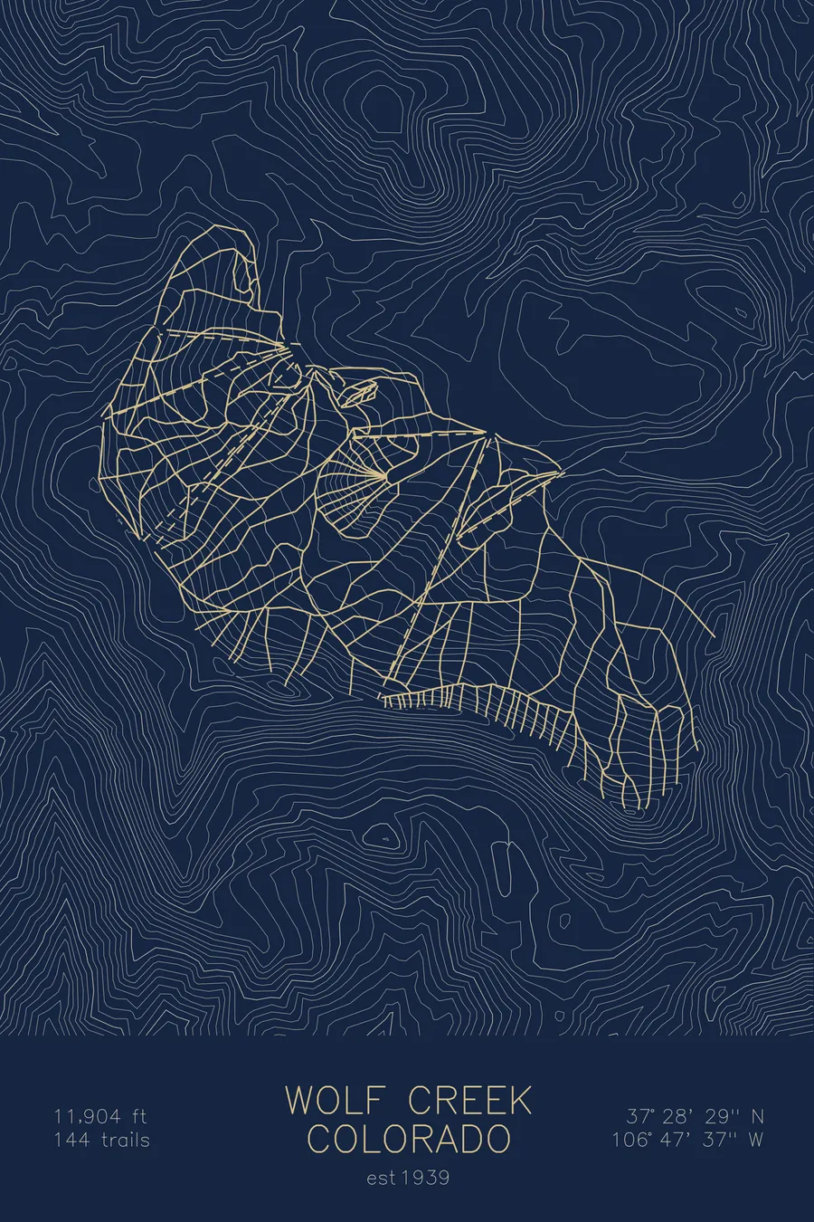
A topographic ski map of Wolf Creek, Colorado, with the resort's runs and lifts drawn over real terrain in a minimalist contour-line design.
Est. 1939. 144 trails. 11,904 feet above sea level.
$63
Ink & paper: Arctic White
Size: 12×18"
+Personalize this map
+ Details
- 12 × 18 inches
- Drawn on 98 lb (160 gsm) archival cotton paper
- Precision technical pens and archival inks
- Signed and dated on the back
- Ships flat, protected, ready to frame
Each map begins with elevation data and is drawn by a pen plotter in our Vermont studio. Mechanical precision, plus the texture and small imperfections of real ink on paper.
Off the screen
In real rooms



















+ About this map
Wolf Creek claims the most snow in Colorado, averaging around 400 inches a year on its perch atop Wolf Creek Pass, where storms stack up against the Continental Divide in the San Juan Mountains. The family-owned area has operated since 1939 and has stayed deliberately simple: no base village, no lodging, just lifts, powder, and terrain that ranges from mellow groomers to the steep hike-to trees and chutes of the Knife Ridge and Alberta side.
Because the skiing starts above 10,000 feet and tops out near 12,000, the snow stays cold and dry, and locals from across southern Colorado and New Mexico chase storms here all winter. The contour map shows the crest of the Divide and the high San Juan terrain rolling away in every direction.
+ Map details
- Wolf Creek
- Colorado
- United States
- Rocky Mountains
- 11,904 ft / 3,628 m
- 37.4747N 106.7936W
- Ski resort trail map
- Original pen plot, archival ink on cotton paper
- 8 × 12 in · 12 × 18 in · 18 × 24 in
- Est. 1939. 144 trails
More maps