Wyoming
Yellowstone Lake
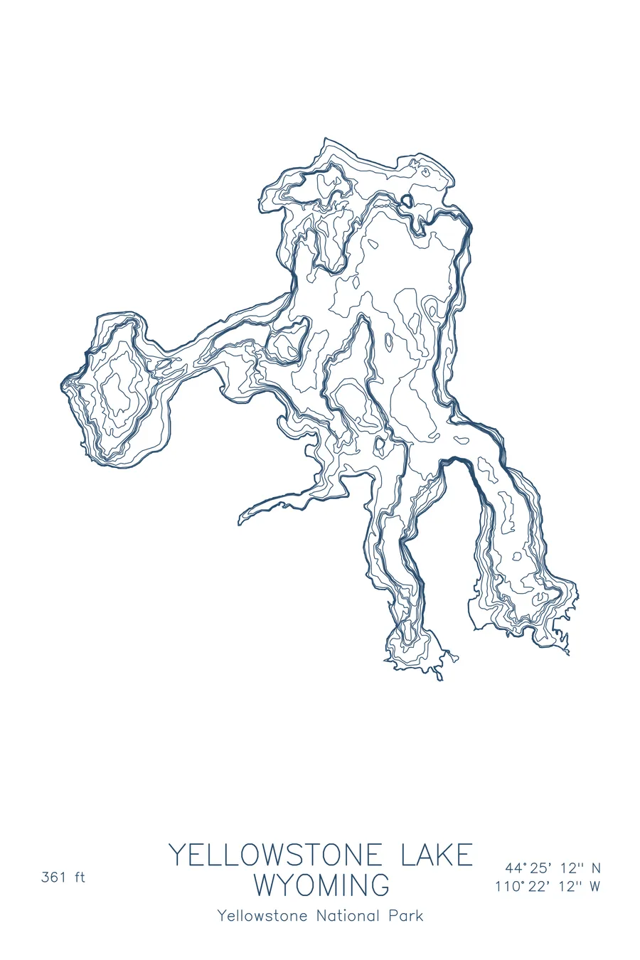
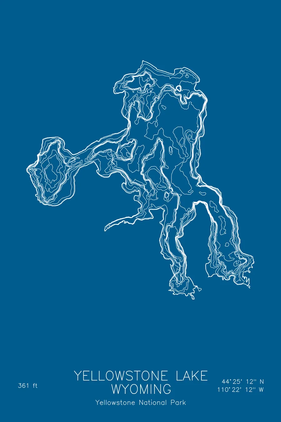
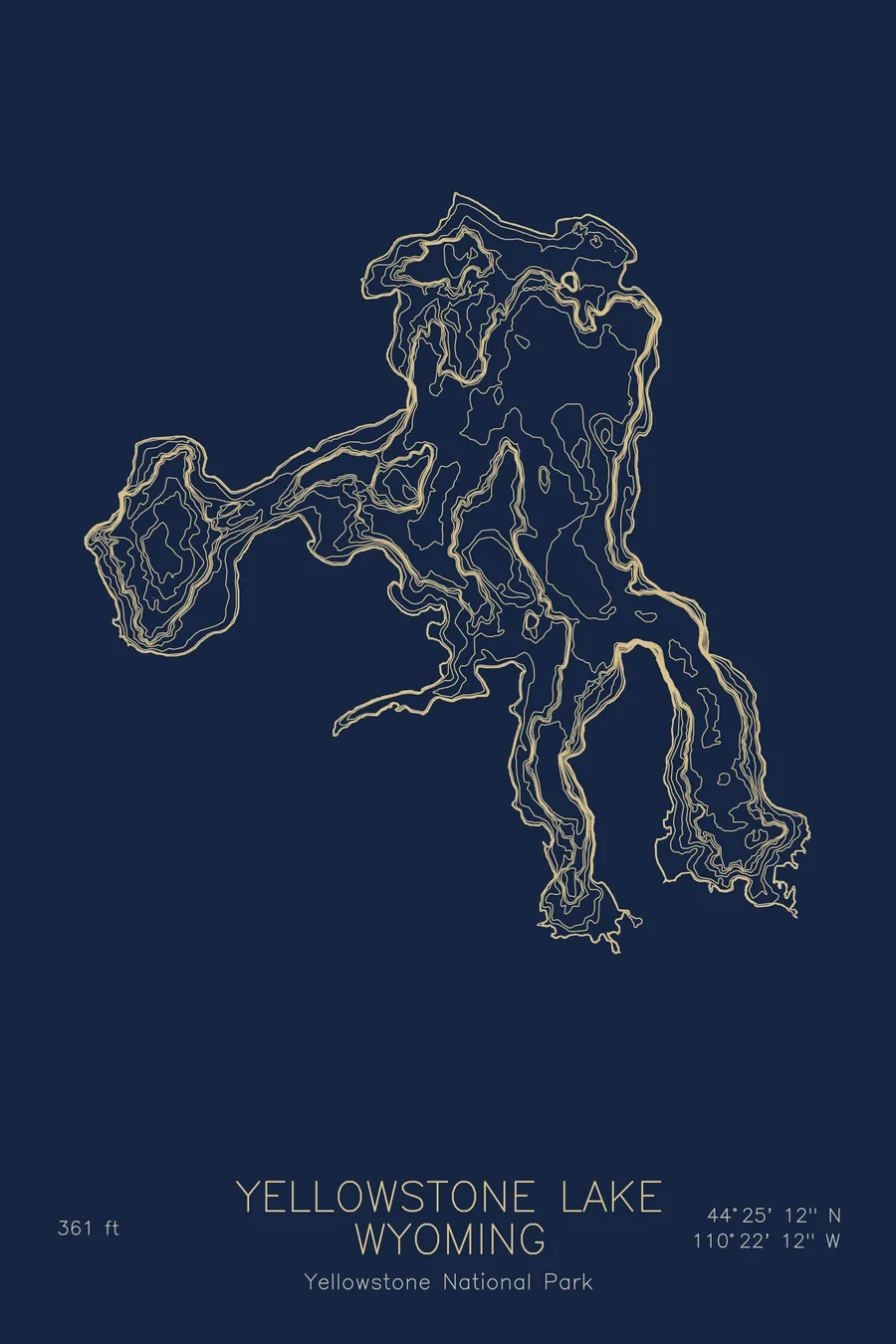
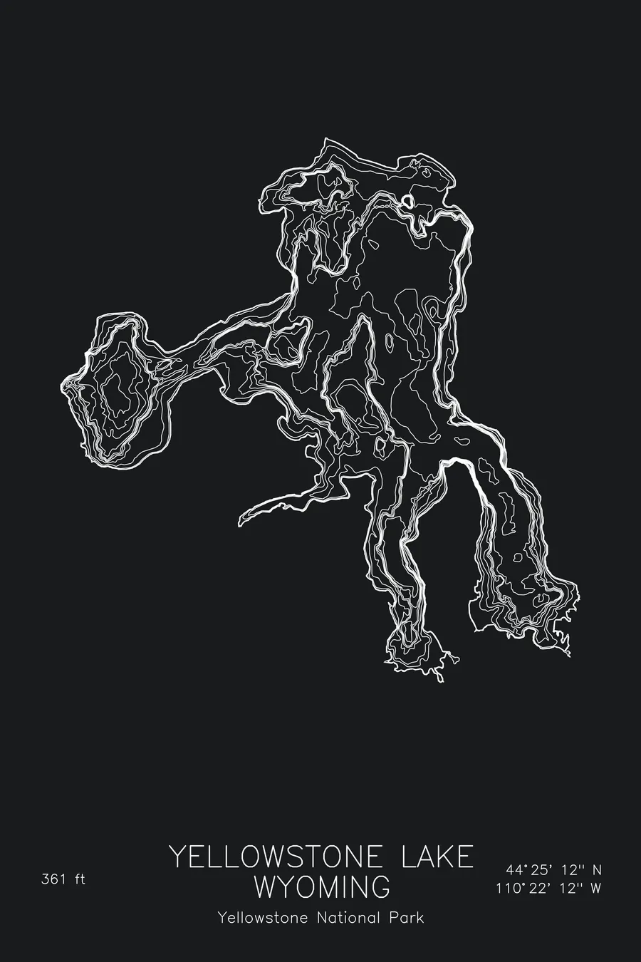
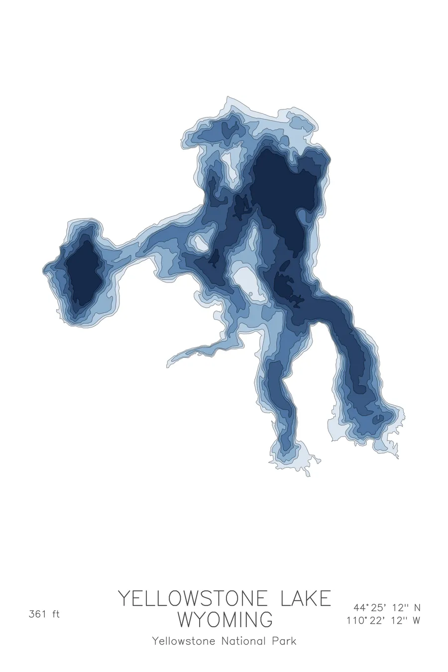
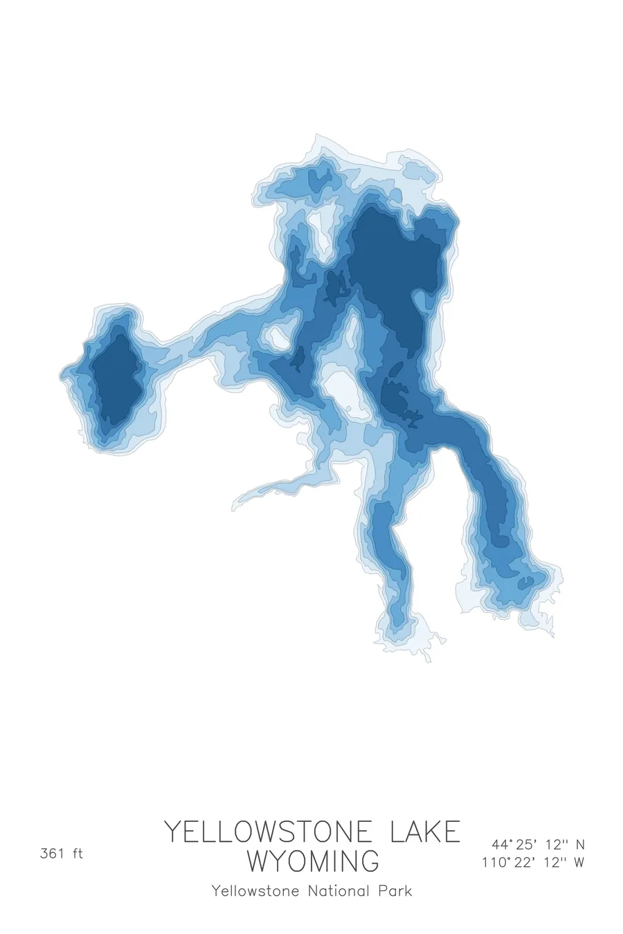
A bathymetric depth map of Yellowstone Lake, Wyoming, drawn from real lake survey data in a minimalist contour-line design.
At 7,733 feet, the largest high-elevation lake in North America, with the hottest lake-bottom vents measured anywhere on Earth.
$50
Ink & paper: Lake Blue
Size: 12×18"
+Personalize this map
+ Details
- 12 × 18 inches
- Drawn on 98 lb (160 gsm) archival cotton paper
- Precision technical pens and archival inks
- Signed and dated on the back
- Ships flat, protected, ready to frame
Each map begins with elevation data and is drawn by a pen plotter in our Vermont studio. Mechanical precision, plus the texture and small imperfections of real ink on paper.
Off the screen
In real rooms



















+ About this map
Early visitors to Yellowstone Lake discovered that at Fishing Cone, a hot-spring cone poking out of the water at West Thumb, a trout could be caught and boiled without ever leaving the hook. Walter Trumbull of the 1870 Washburn expedition described one that fell into the spring and came up “dead, and literally boiled,” and the stunt became popular enough that anglers scalded themselves straddling the vent. The lake makes a habit of this: the hottest hydrothermal vent temperature ever measured anywhere in the park, 345 degrees Fahrenheit, was recorded not in a geyser basin but on the bottom of this ice-cold, 361-foot-deep lake, in the Deep Hole vent field east of Stevenson Island.
The depth contours reveal a lake built by volcanism and ice together. The map shows the broad main body shelving into a deep central basin, the rounded bowl of West Thumb pressed into the western shore, and the long fingers of the South and Southeast Arms trailing off into shallow, glacially carved water. It is a strange and beautiful outline, half caldera and half fjord.
+ Map details
- Yellowstone Lake
- Wyoming
- United States
- Rocky Mountains
- 44.4200N 110.3700W
- Lake bathymetric depth map
- Original pen plot, archival ink on cotton paper
- 8 × 12 in · 12 × 18 in · 18 × 24 in
- Max depth 361 ft
More maps