Pakistan
Nanga Parbat
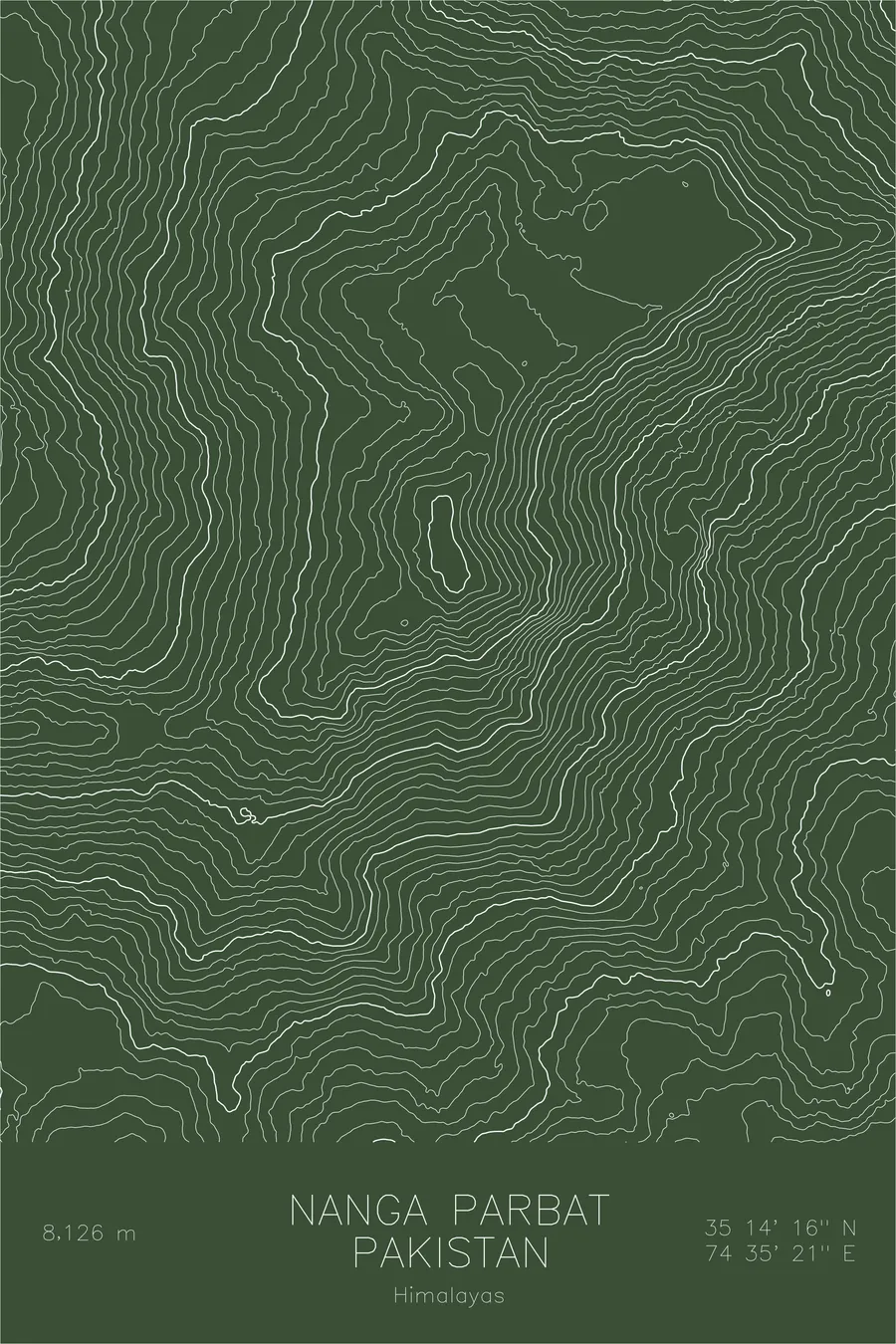
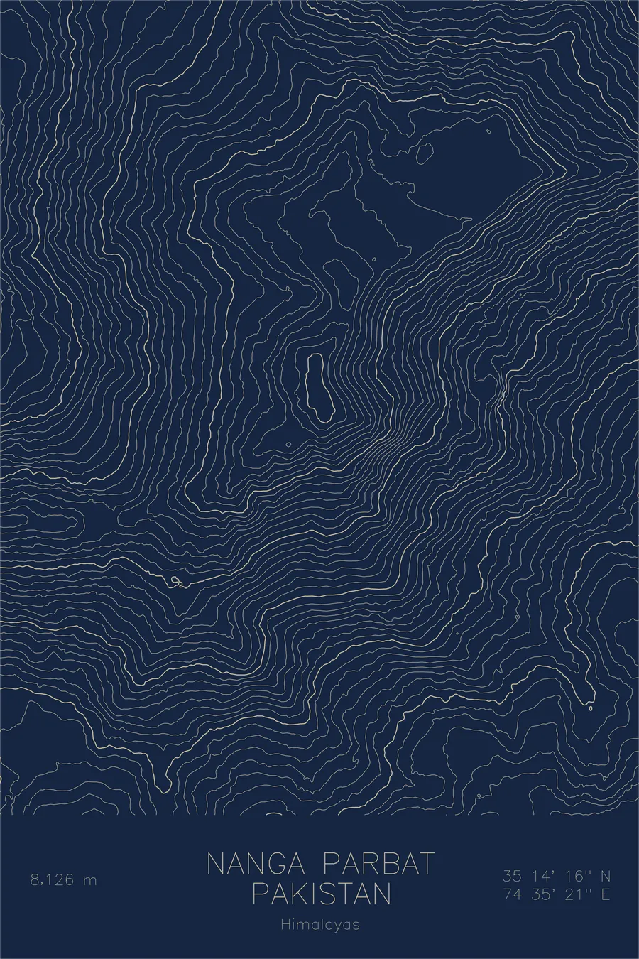
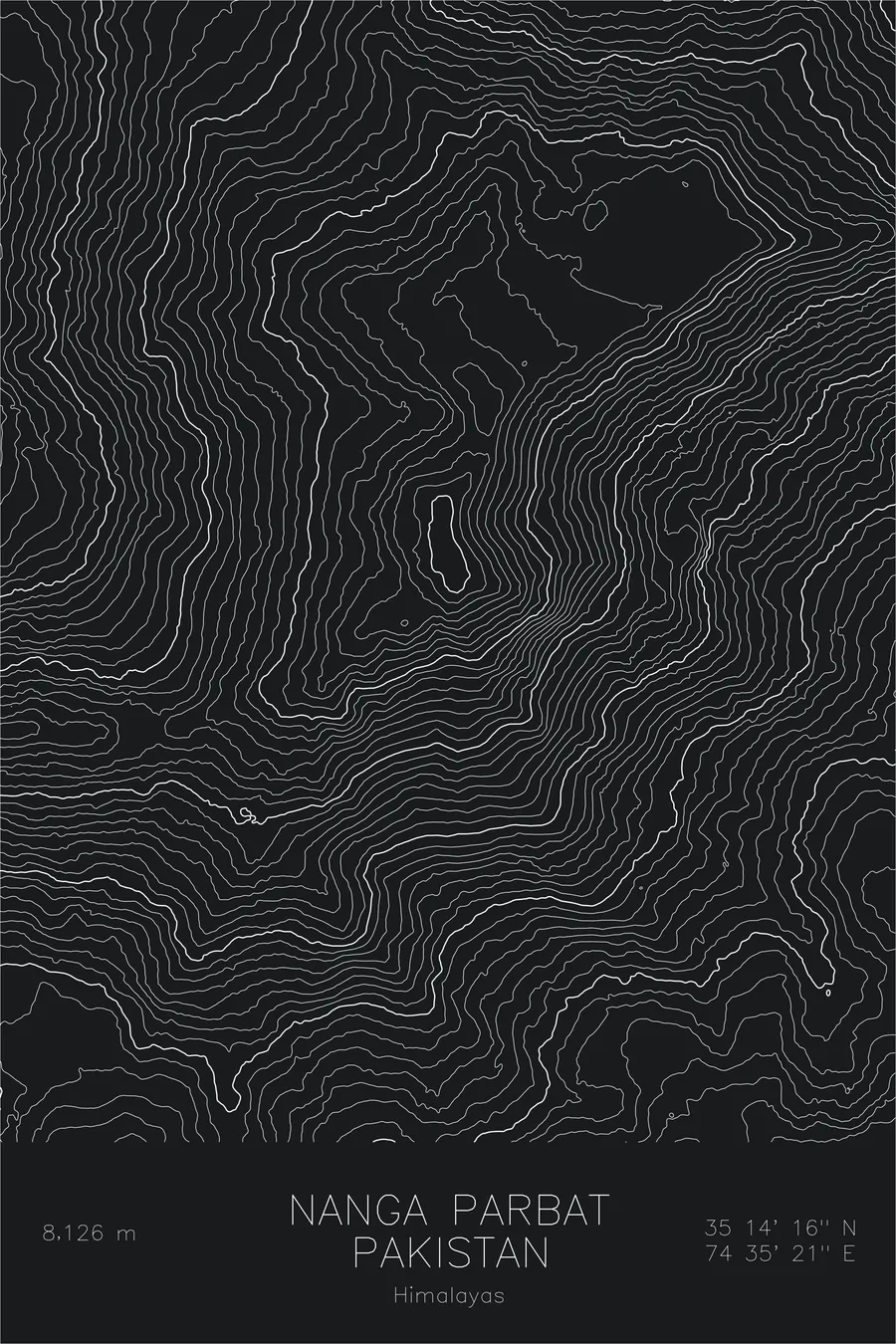
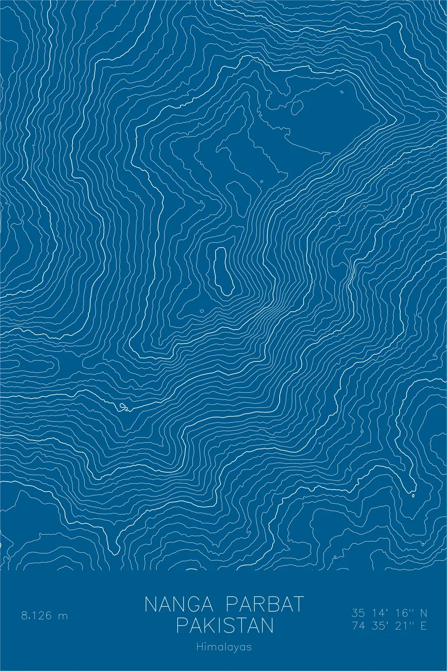
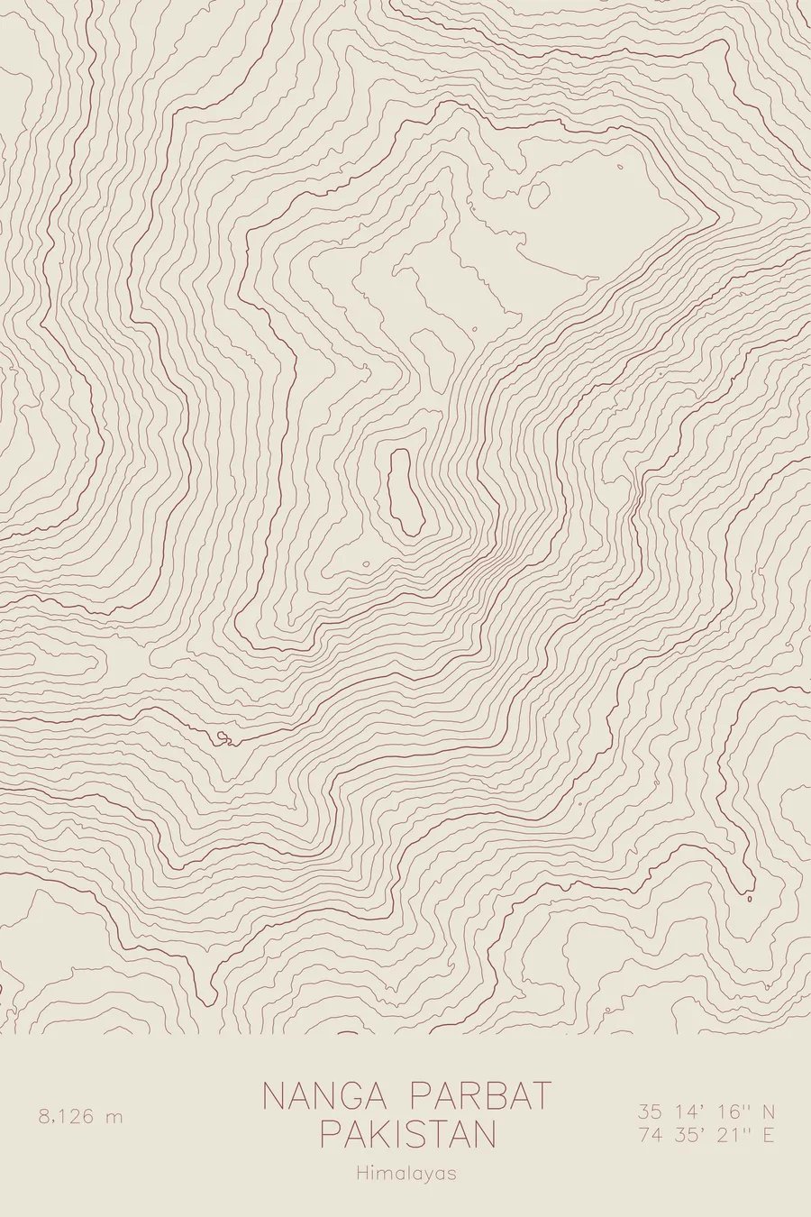
A pen-plotted topographic map of Nanga Parbat in the Himalayas, Pakistan, drawn from real elevation contour data.
Killer Mountain, massive Rupal Face. 26,660 feet above sea level.
$54
Ink & paper: Cream
Size: 12×18"
+Personalize this map
+ Details
- 12 × 18 inches
- Drawn on 98 lb (160 gsm) archival cotton paper
- Precision technical pens and archival inks
- Signed and dated on the back
- Ships flat, protected, ready to frame
Each map begins with elevation data and is drawn by a pen plotter in our Vermont studio. Mechanical precision, plus the texture and small imperfections of real ink on paper.
Off the screen
In real rooms



















+ About this map
Nanga Parbat rises 26,660 feet in Pakistan, the ninth highest mountain in the world and the western anchor of the entire Himalayan chain. The Indus River bends around its base, leaving the massif standing almost alone above the surrounding valleys. Early expeditions suffered so many losses here that it became known as the Killer Mountain, and it was not climbed until Hermann Buhl reached the summit alone in 1953.
This map captures a mountain of extremes. On the south side, the contour lines compress into the Rupal Face, the highest mountain wall on Earth, roughly 15,000 feet of relief from valley floor to summit. The Diamir Face falls away to the west and the Rakhiot flank to the north, each carrying its own glacier systems. Running southwest from the summit, the lines trace the Mazeno Ridge, the longest ridge on any 8,000-meter peak. The print shows a single isolated giant with steepness on every side.
+ Map details
- Nanga Parbat
- Pakistan
- Himalayas
- Himalayas
- 26,660 ft / 8,126 m
- 35.2378N 74.5892E
- Mountain topographic map
- Original pen plot, archival ink on cotton paper
- 8 × 12 in · 12 × 18 in · 18 × 24 in
- Killer Mountain, massive Rupal Face
More maps