Nepal
Annapurna I
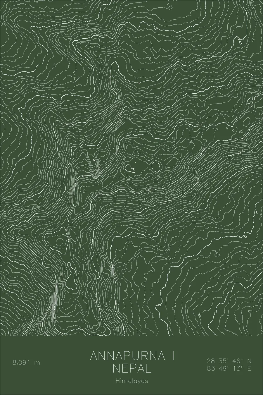
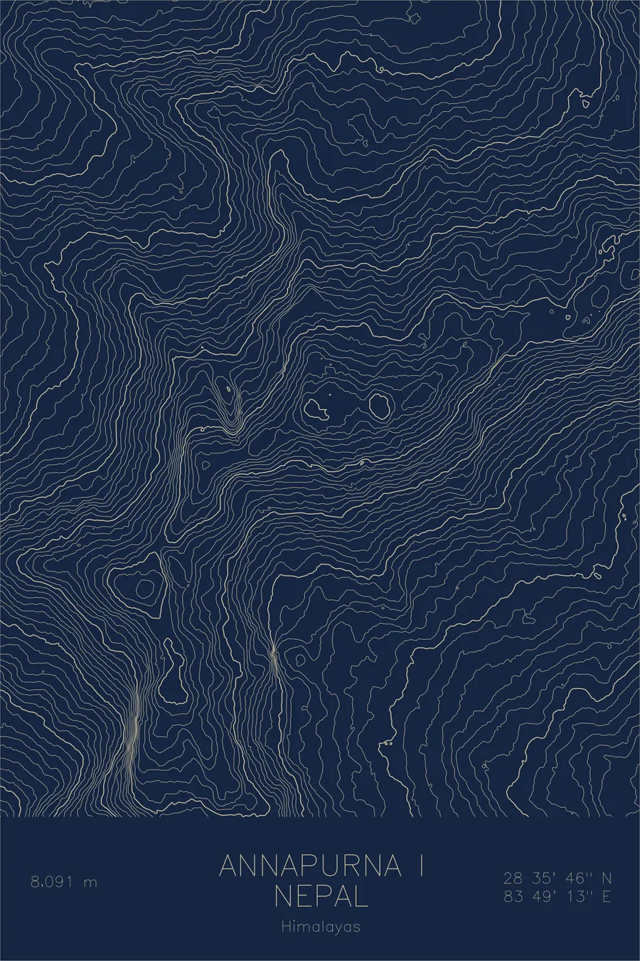
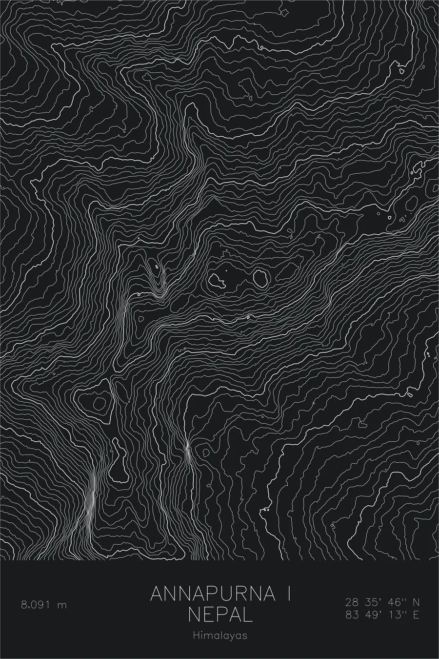
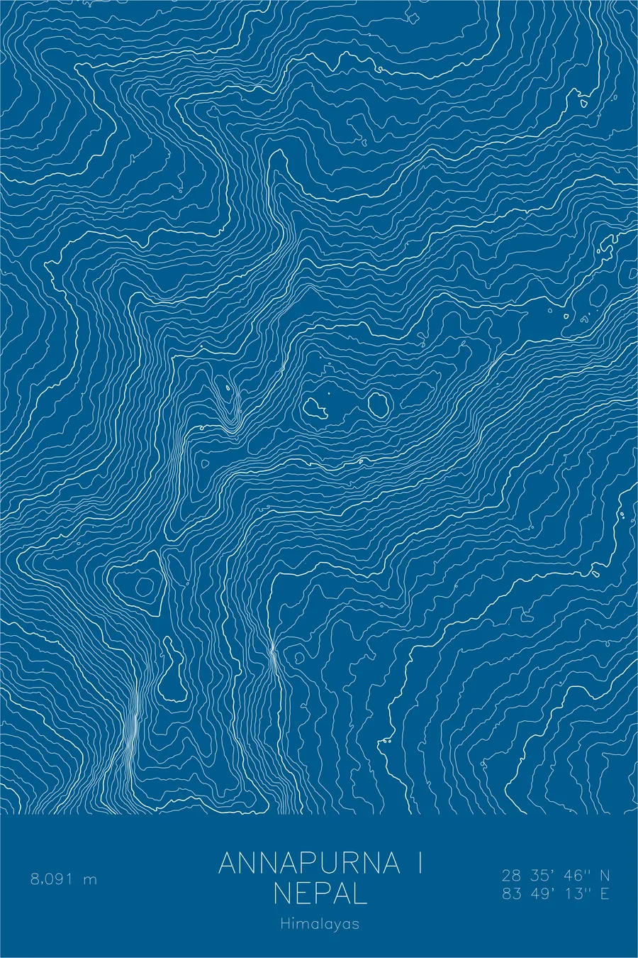
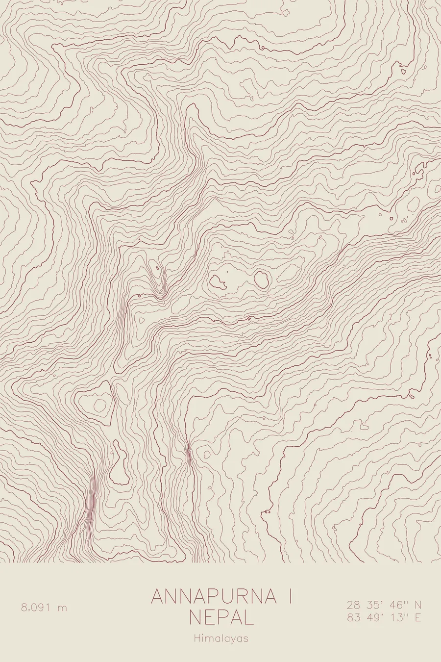
A pen-plotted topographic map of Annapurna I in the Himalayas, Nepal, drawn from real elevation contour data.
The 1950 French expedition spent weeks unable to find a route to the mountain because their map was wrong.
$54
Ink & paper: Black
Size: 12×18"
+Personalize this map
+ Details
- 12 × 18 inches
- Drawn on 98 lb (160 gsm) archival cotton paper
- Precision technical pens and archival inks
- Signed and dated on the back
- Ships flat, protected, ready to frame
Each map begins with elevation data and is drawn by a pen plotter in our Vermont studio. Mechanical precision, plus the texture and small imperfections of real ink on paper.
Off the screen
In real rooms



















+ About this map
The first eight-thousander ever climbed was the backup plan. The 1950 French expedition arrived intending to climb Dhaulagiri, gave up, and then spent weeks unable even to find a route to Annapurna, because their 1920s Survey of India map was seriously defective. Maurice Herzog and Louis Lachenal reached the 26,545-foot summit on June 3, 1950, before any other peak of that height had been climbed, and paid heavily on the way out: expedition doctor Jacques Oudot amputated their frostbitten digits during the walk back, and Herzog lost all of his fingers and toes. The mountain remains one of the most dangerous of the fourteen highest, its avalanche-prone slopes keeping ascents far rarer than on its more famous neighbors.
This map traces the great east-west wall of the Annapurna massif. The contour lines pile up along the South Face, one of the largest mountain walls on Earth, which rises above the glacial basin of the Annapurna Sanctuary. The main ridge carries a chain of neighboring summits, and the lines spill downward into the deep river valleys that isolate the massif from the surrounding ranges.
+ Map details
- Annapurna I
- Nepal
- Himalayas
- Himalayas
- 26,545 ft / 8,091 m
- 28.5961N 83.8203E
- Mountain topographic map
- Original pen plot, archival ink on cotton paper
- 8 × 12 in · 12 × 18 in · 18 × 24 in
- First eight-thousander to be climbed
More maps