New York
Cascade Mountain
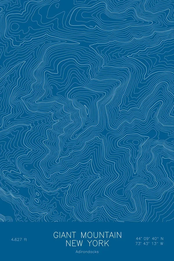
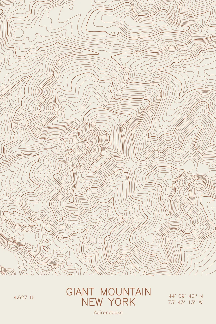
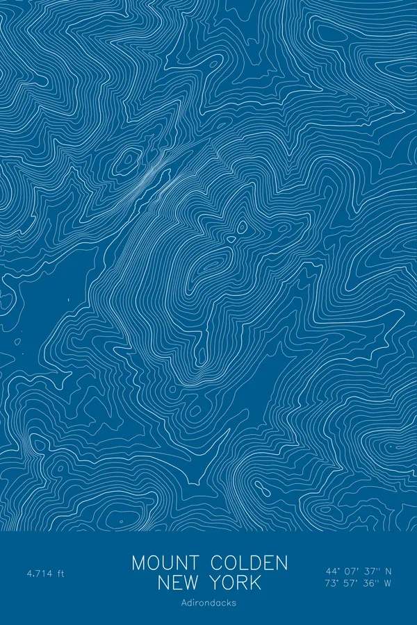
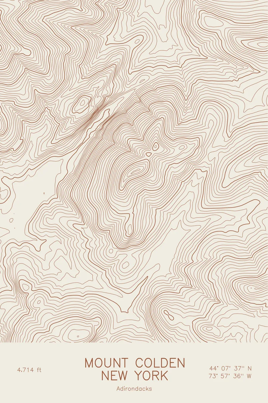
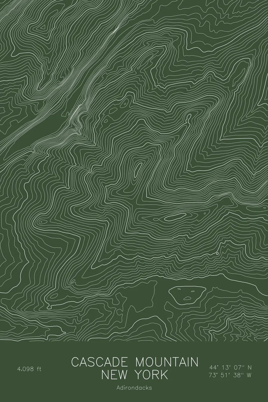
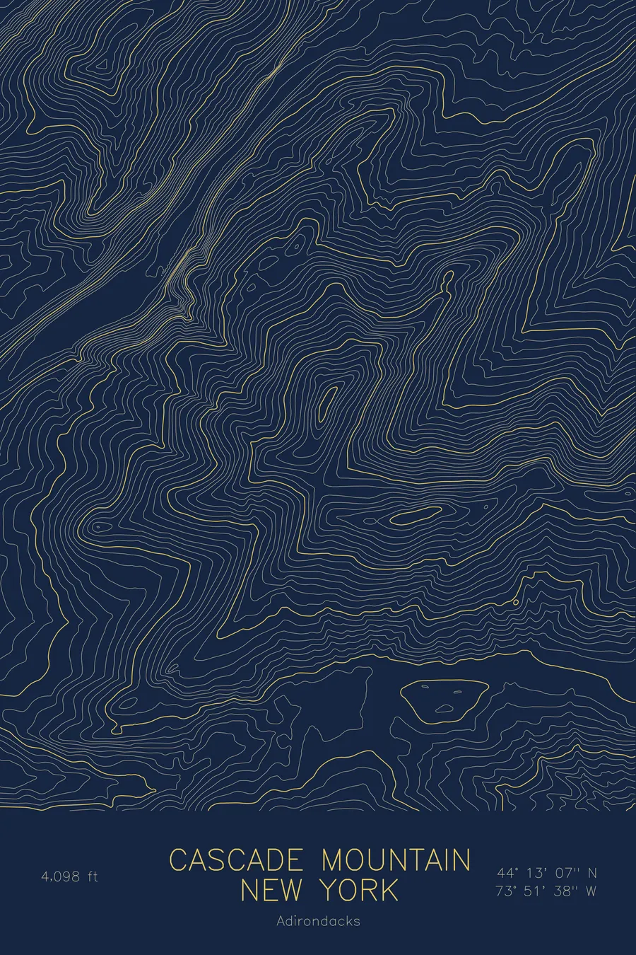
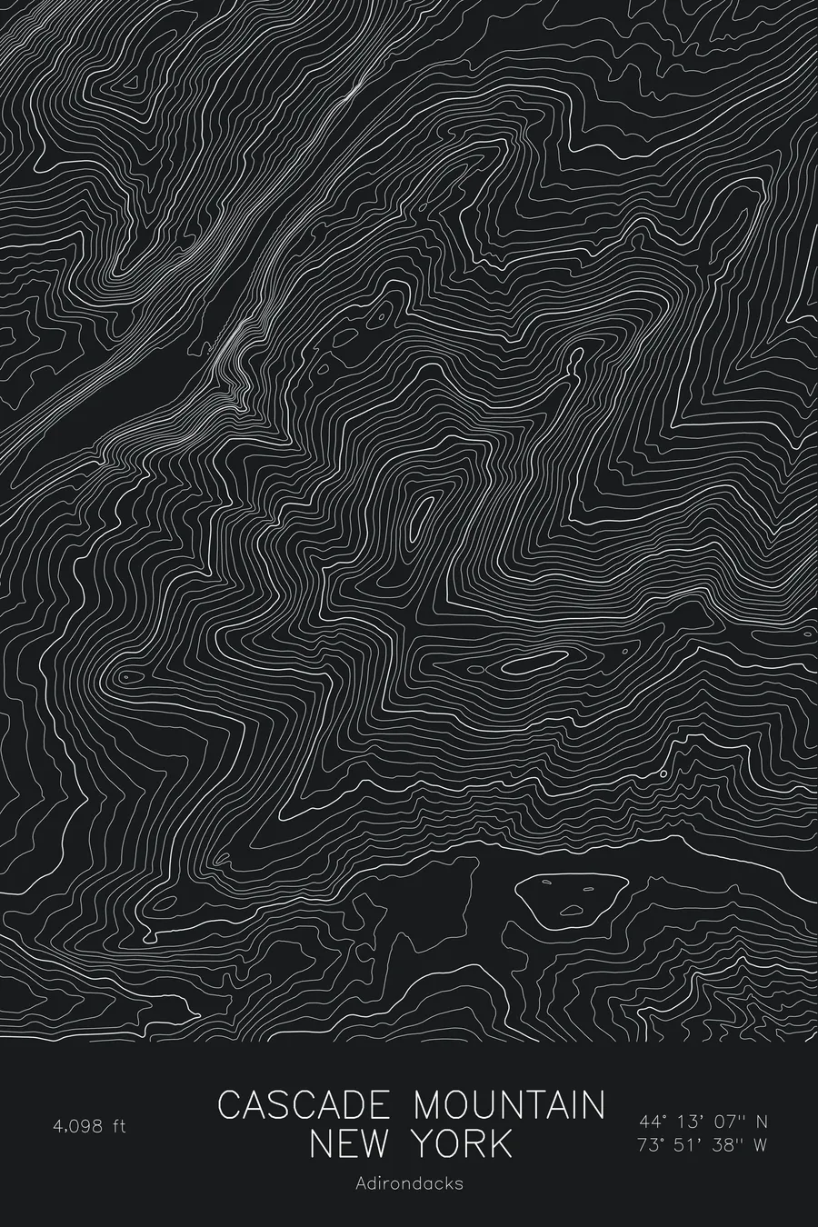
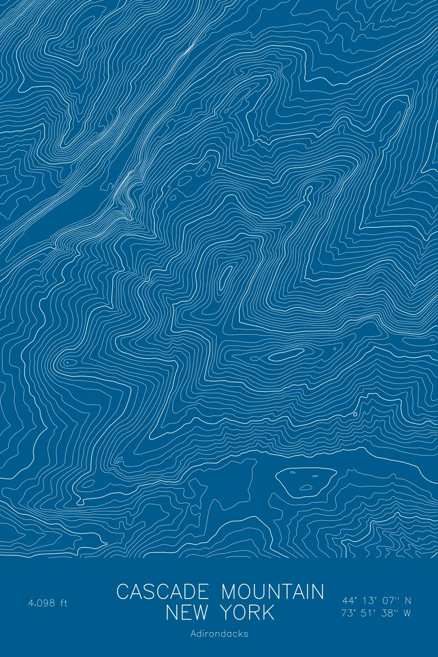
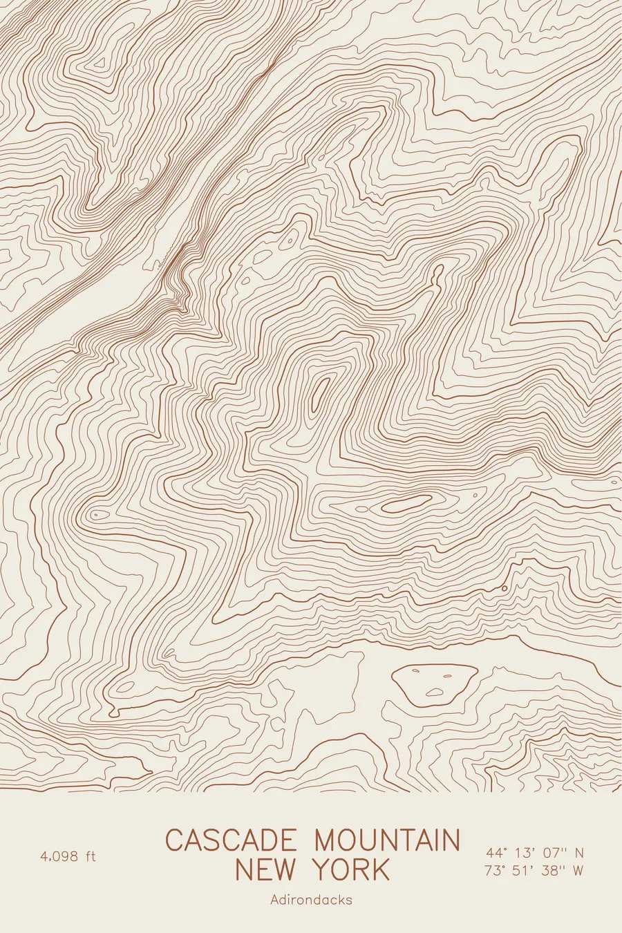
A pen-plotted topographic map of Cascade Mountain in the Adirondacks, New York, drawn from real elevation contour data.
Most-climbed Adirondack High Peak, open summit views above Cascade Lakes. 4,098 feet above sea level.
$54
Ink & paper: Blue
Size: 12×18"
+Personalize this map
+ Details
- 12 × 18 inches
- Drawn on 98 lb (160 gsm) archival cotton paper
- Precision technical pens and archival inks
- Signed and dated on the back
- Ships flat, protected, ready to frame
Each map begins with elevation data and is drawn by a pen plotter in our Vermont studio. Mechanical precision, plus the texture and small imperfections of real ink on paper.
Off the screen
In real rooms



















+ About this map
Cascade Mountain rises to 4,098 feet on the northern edge of the Adirondack High Peaks, the most-climbed summit in the range. Its open, bald top gives a full view of the High Peaks from a relatively short climb off Route 73, which is why it serves as so many people’s first 46er. The Cascade Lakes lie in the narrow pass directly below it, and Porter Mountain sits on the same ridge to the southeast.
This map traces the ridge that connects Cascade and Porter and the steep pass below them. The contour lines compress on the northwest side where the mountain drops straight to the Cascade Lakes, then ease across the broad forested shoulders on the other flanks. The summit itself shows as a small tight cluster at the high point of the ridge. The map covers roughly 1,850 feet at the lakes to the 4,098-foot summit.
+ Map details
- Cascade Mountain
- New York
- United States
- Adirondacks
- Adirondacks
- 4,098 ft / 1,249 m
- 44.2186N 73.8606W
- Mountain topographic map
- Original pen plot, archival ink on cotton paper
- 8 × 12 in · 12 × 18 in · 18 × 24 in
- Most-climbed Adirondack High Peak, open summit views above Cascade Lakes
More maps