Austria
Grossglockner
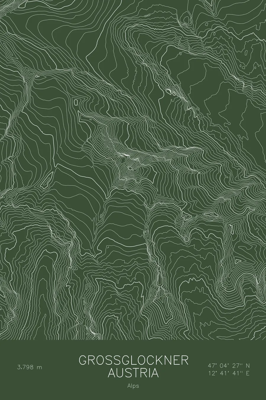
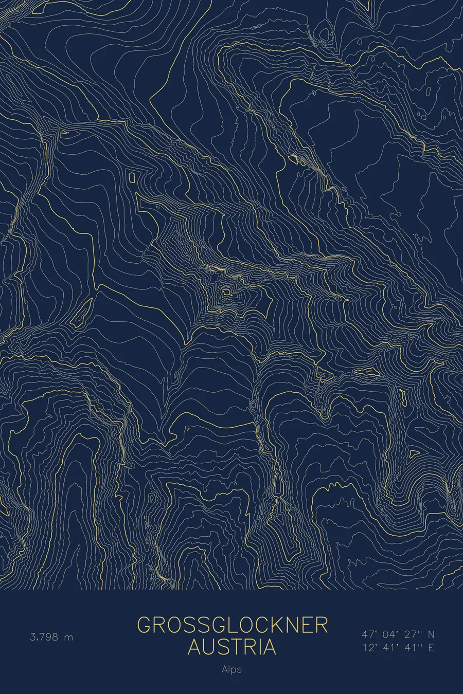
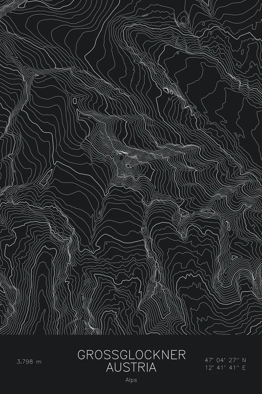
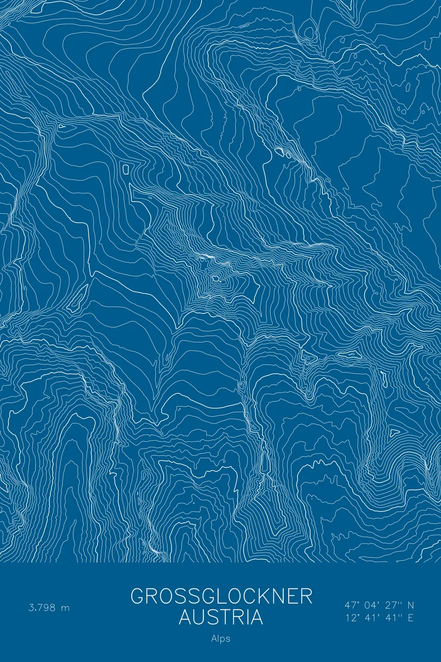
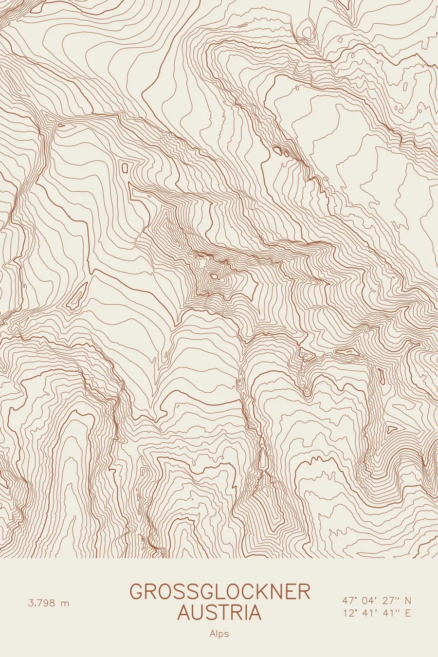
A pen-plotted topographic map of Grossglockner in the Alps, Austria, drawn from real elevation contour data.
First climbed in 1800 by an expedition of 62, organized by a prince-bishop.
$54
Ink & paper: Navy
Size: 12×18"
+Personalize this map
+ Details
- 12 × 18 inches
- Drawn on 98 lb (160 gsm) archival cotton paper
- Precision technical pens and archival inks
- Signed and dated on the back
- Ships flat, protected, ready to frame
Each map begins with elevation data and is drawn by a pen plotter in our Vermont studio. Mechanical precision, plus the texture and small imperfections of real ink on paper.
Off the screen
In real rooms



















+ About this map
The first ascent of Austria’s highest mountain was organized by a bishop, and the first men on top included a parish priest. Prince-Bishop Count Franz Xaver von Salm of Gurk mounted the expedition, and on July 28, 1800, 62 people set out into the Leitertal valley. Only the four guides and Mathias Hautzendorfer, the parish priest of Rangersdorf, made it across the Obere Glocknerscharte to the 12,461-foot summit. The next day other members of the expedition repeated the ascent and installed a summit cross and a barometer, which stood beside the cross and went on recording data for 52 years.
The map centers on the meeting of rock and ice. Contour lines trace the long tongue of the Pasterze curling below the eastern flank and the smaller hanging glaciers clinging to the faces above. Higher up, the lines sharpen into the summit ridge and the notch of the Glocknerscharte between the two Glockner peaks, while the surrounding contours pick out the deep valleys that set the massif apart from the rest of the Hohe Tauern.
+ Map details
- Grossglockner
- Austria
- Alps
- Alps
- 12,461 ft / 3,798 m
- 47.0742N 12.6947E
- Mountain topographic map
- Original pen plot, archival ink on cotton paper
- 8 × 12 in · 12 × 18 in · 18 × 24 in
- Highest peak in Austria
More maps