California
Palisades Tahoe
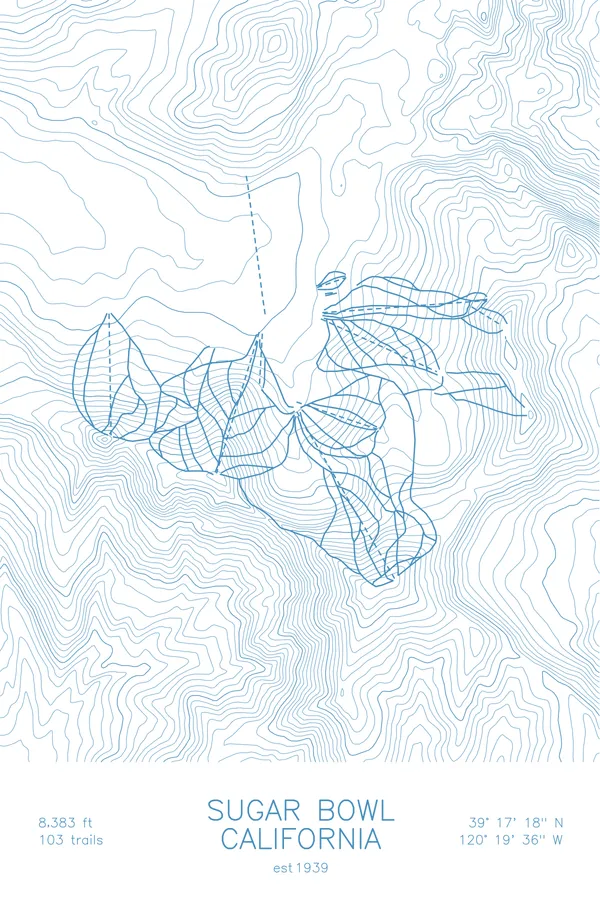
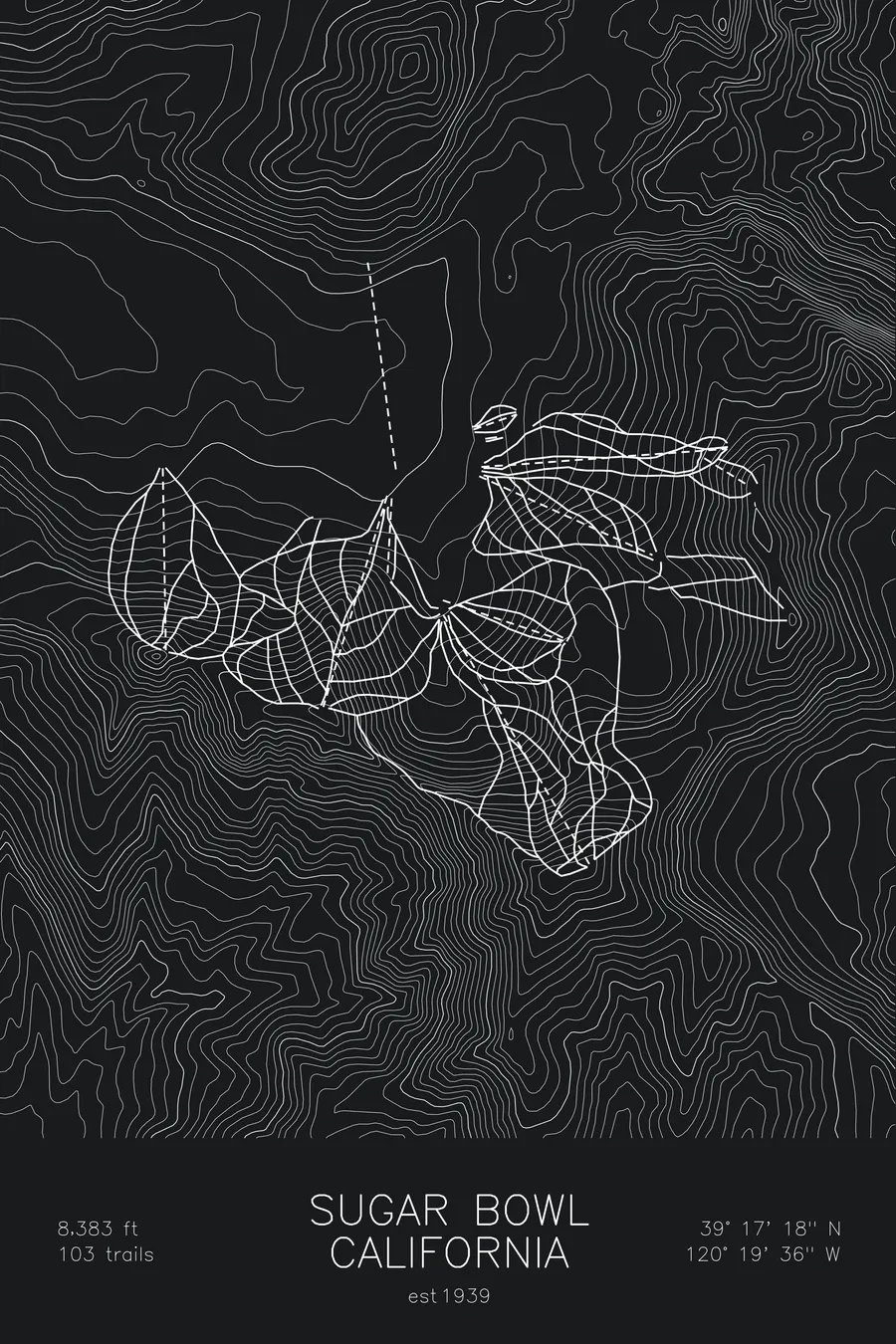
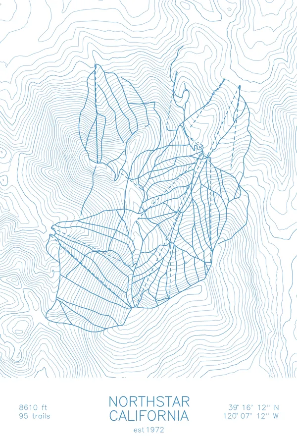
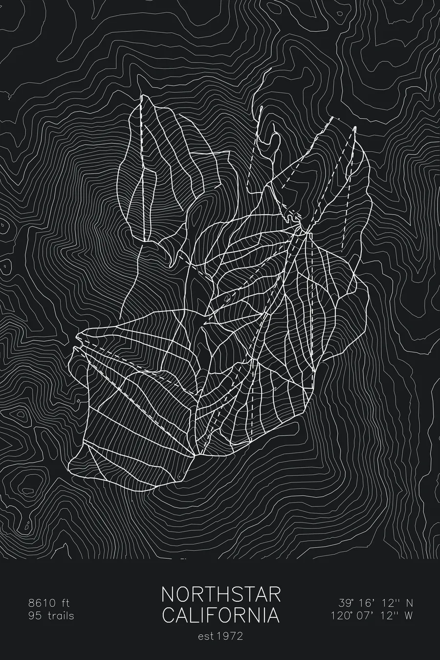
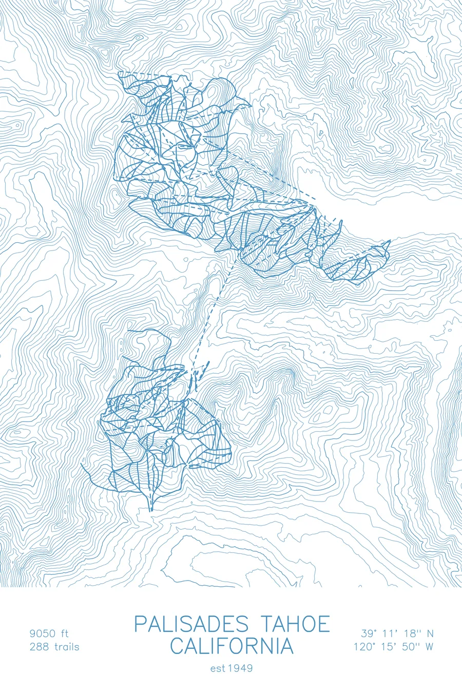
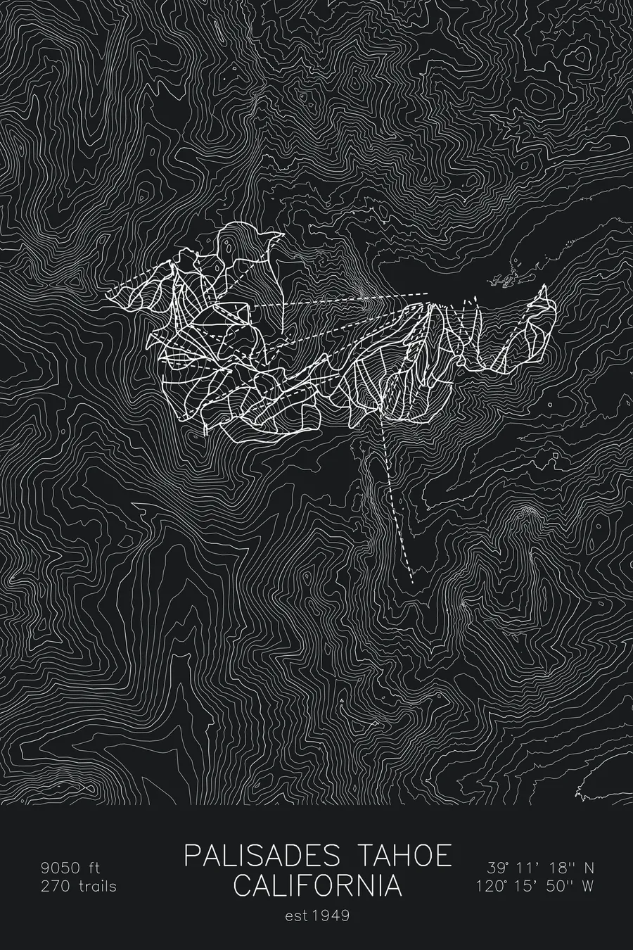
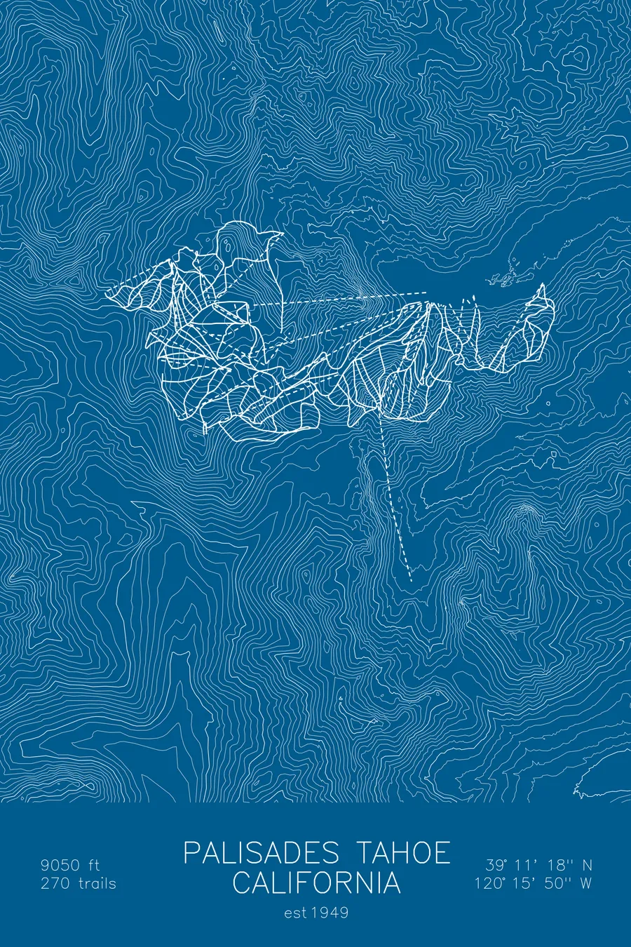
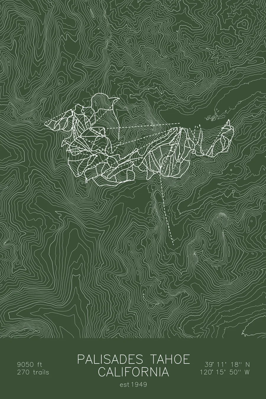
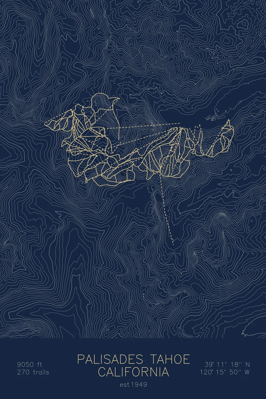
A topographic ski map of Palisades Tahoe, California, with the resort's runs and lifts drawn over real terrain in a minimalist contour-line design.
Est. 1949. 288 trails. 9,050 feet above sea level.
$63
Ink & paper: Arctic White
Size: 12×18"
+Personalize this map
+ Details
- 12 × 18 inches
- Drawn on 98 lb (160 gsm) archival cotton paper
- Precision technical pens and archival inks
- Signed and dated on the back
- Ships flat, protected, ready to frame
Each map begins with elevation data and is drawn by a pen plotter in our Vermont studio. Mechanical precision, plus the texture and small imperfections of real ink on paper.
Off the screen
In real rooms



















+ About this map
Palisades Tahoe, founded in 1949 as Squaw Valley, hosted the 1960 Winter Olympics and became the spiritual home of American big-mountain skiing. Its granite cirques and chutes, most famously the terrain off KT-22, have shaped generations of freeskiers, and its 288 trails climb to 9,050 feet above the west shore of Lake Tahoe. Wide-open bowls, cliff bands, and long groomers share the same ridgelines, which is why the mountain rewards skiers of every kind.
The contour map shows the amphitheater of peaks ringing the valley floor, the same terrain that carried the Olympic torch more than sixty years ago. It covers both sides of the resort, Olympic Valley and Alpine Meadows, linked by the Base to Base Gondola.
+ Map details
- Palisades Tahoe
- California
- United States
- Sierra Nevada
- 9,050 ft / 2,758 m
- 39.1883N 120.2639W
- Ski resort trail map
- Original pen plot, archival ink on cotton paper
- 8 × 12 in · 12 × 18 in · 18 × 24 in
- Est. 1949. 288 trails
More maps