Colorado
Huron Peak
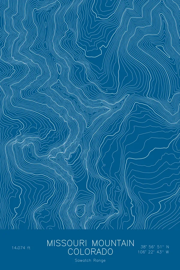
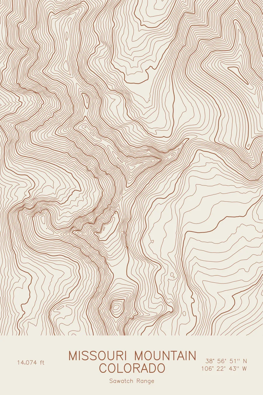
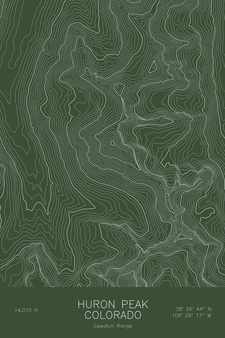
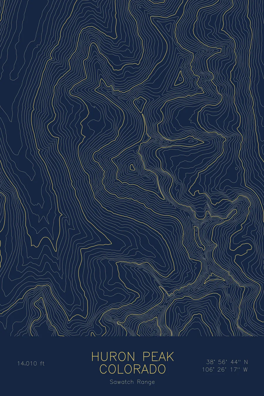
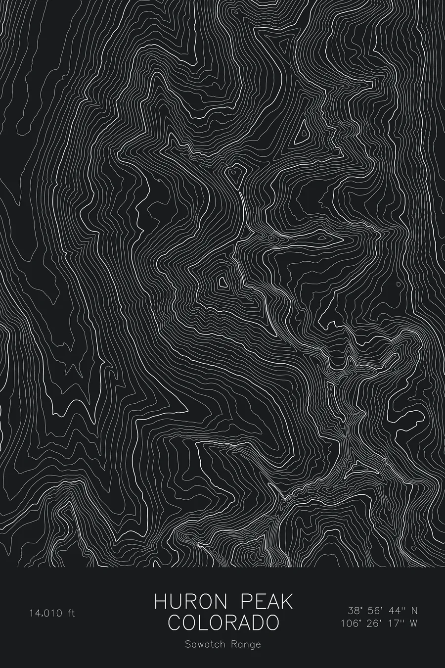
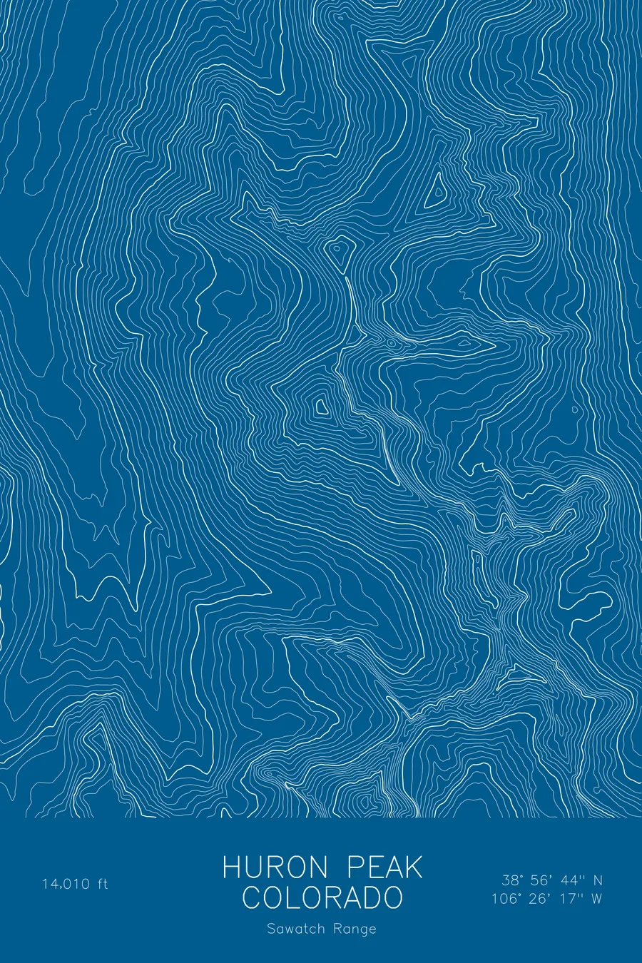
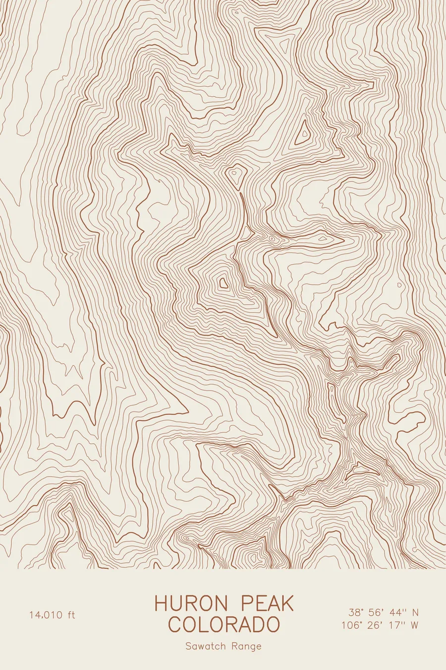
A pen-plotted topographic map of Huron Peak in the Sawatch Range, Colorado, drawn from real elevation contour data.
Lowest Sawatch 14er, with sweeping views of the Three Apostles. 14,010 feet above sea level.
$54
Ink & paper: Blue
Size: 12×18"
+Personalize this map
+ Details
- 12 × 18 inches
- Drawn on 98 lb (160 gsm) archival cotton paper
- Precision technical pens and archival inks
- Signed and dated on the back
- Ships flat, protected, ready to frame
Each map begins with elevation data and is drawn by a pen plotter in our Vermont studio. Mechanical precision, plus the texture and small imperfections of real ink on paper.
Off the screen
In real rooms



















+ About this map
Huron Peak rises to 14,010 feet in Colorado’s Sawatch Range, the lowest of the fourteeners in that range but one of the most rewarding, thanks to its position above the Clear Creek valley and its view of the Three Apostles to the south. It is a compact, well-shaped mountain, a true pyramid that stands out from the rounded summits typical of the Sawatch.
This map traces a peak with clean, converging ridgelines. The contour lines climb evenly from the valley floor toward a small, tight summit cluster, with the northwest ridge carrying the standard route and steeper faces on the other sides. The Three Apostles rise along the southern edge of the sheet. The elevation on this map runs from about 10,500 feet in the Clear Creek drainage to the 14,010-foot summit.
+ Map details
- Huron Peak
- Colorado
- United States
- Sawatch Range
- Sawatch Range
- 14,010 ft / 4,270 m
- 38.9455N 106.4381W
- Mountain topographic map
- Original pen plot, archival ink on cotton paper
- 8 × 12 in · 12 × 18 in · 18 × 24 in
- Lowest Sawatch 14er, with sweeping views of the Three Apostles
More maps