Colorado
Missouri Mountain
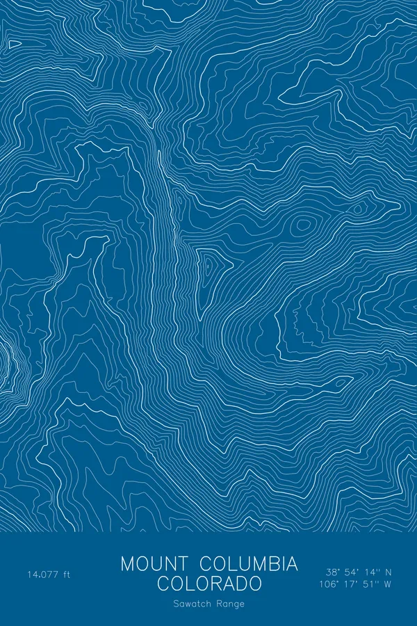
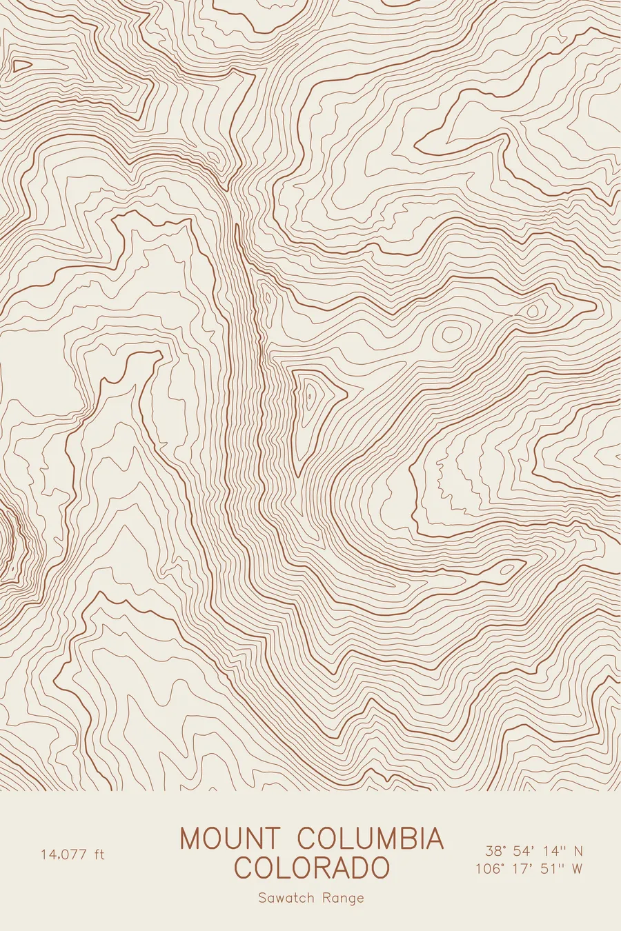
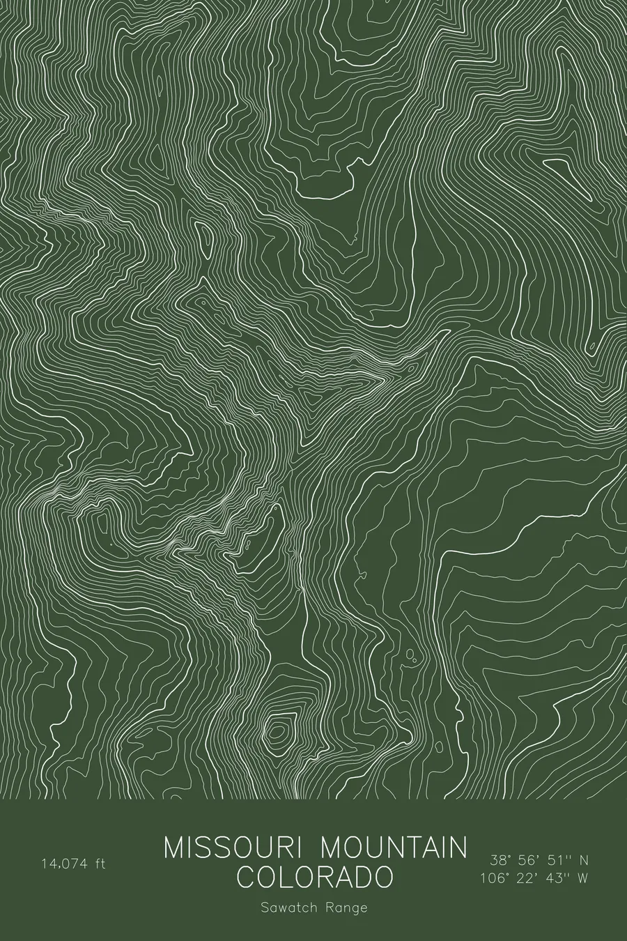
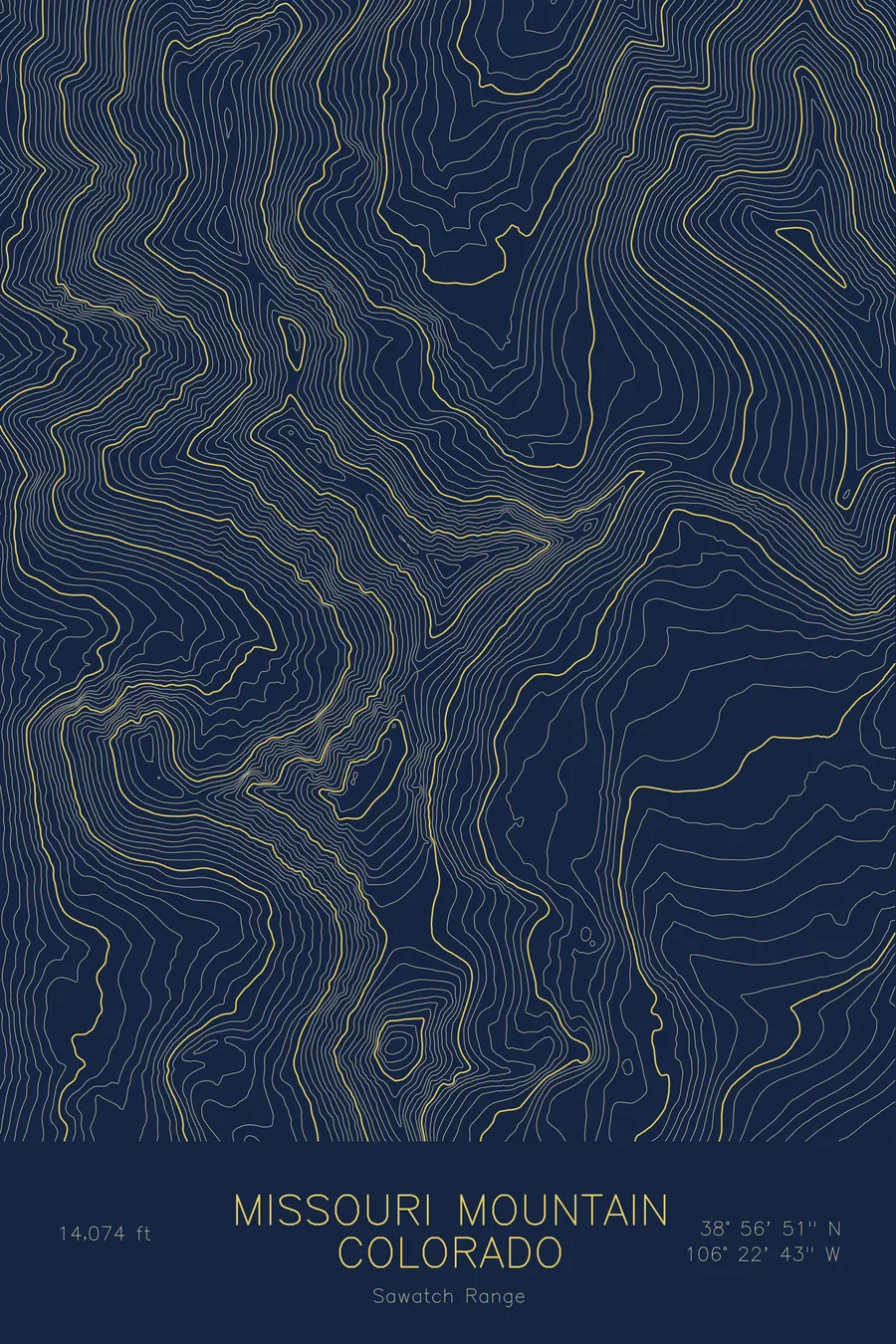
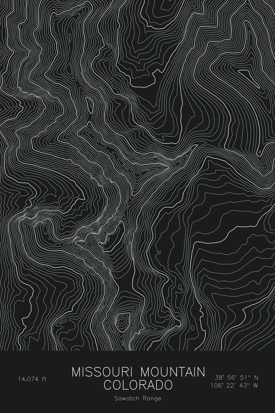
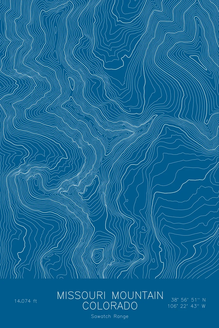
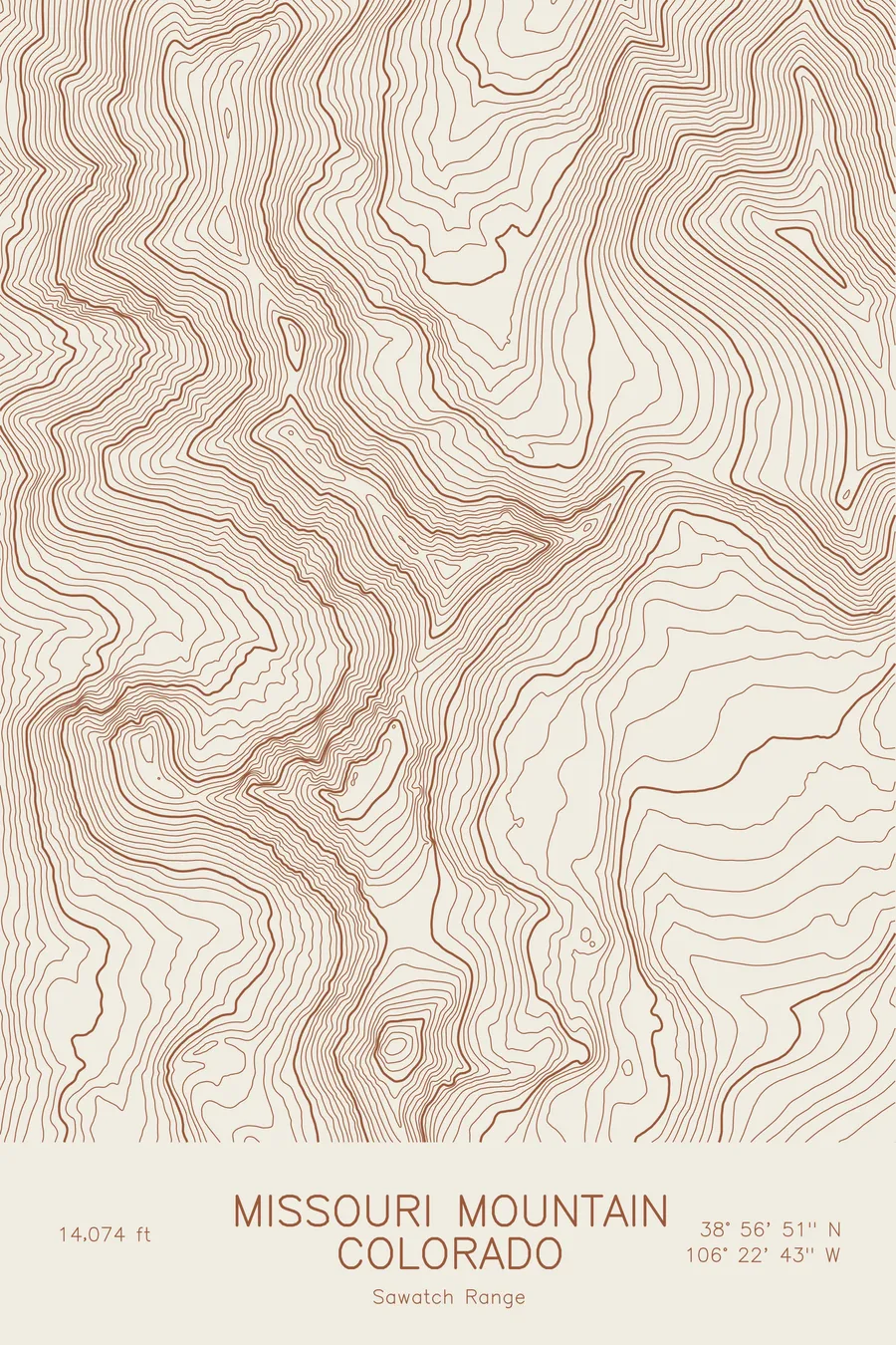
A pen-plotted topographic map of Missouri Mountain in the Sawatch Range, Colorado, drawn from real elevation contour data.
Collegiate Peak at the head of Missouri Gulch, neighbour of Belford and Oxford. 14,074 feet above sea level.
$54
Ink & paper: Blue
Size: 12×18"
+Personalize this map
+ Details
- 12 × 18 inches
- Drawn on 98 lb (160 gsm) archival cotton paper
- Precision technical pens and archival inks
- Signed and dated on the back
- Ships flat, protected, ready to frame
Each map begins with elevation data and is drawn by a pen plotter in our Vermont studio. Mechanical precision, plus the texture and small imperfections of real ink on paper.
Off the screen
In real rooms



















+ About this map
Missouri Mountain rises to 14,074 feet in Colorado’s Sawatch Range, one of the Collegiate Peaks at the head of Missouri Gulch near Buena Vista. It is usually climbed from the same trailhead as Belford and Oxford, and its long, narrow summit ridge is a distinctive shape among the broad Sawatch summits. Elkhead Pass separates it from Belford to the east.
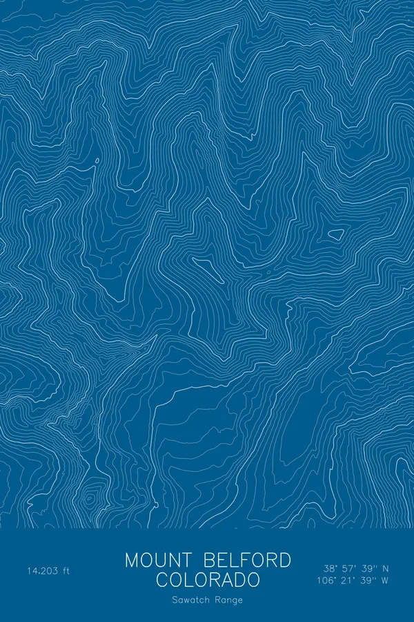
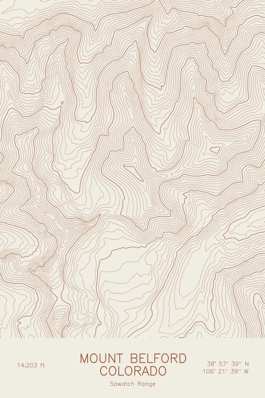
This map traces the head of Missouri Gulch. The contour lines form a curving bowl around the gulch, with Missouri’s summit ridge running as a thin, extended crest along its west and south sides and Mount Belford providing the highest ground on the sheet. The valley floor of the gulch sits at about 11,700 feet, so the entire map lies above treeline or close to it, with the elevation running up to about 14,200 feet.
+ Map details
- Missouri Mountain
- Colorado
- United States
- Sawatch Range
- Sawatch Range
- 14,074 ft / 4,290 m
- 38.9476N 106.3785W
- Mountain topographic map
- Original pen plot, archival ink on cotton paper
- 8 × 12 in · 12 × 18 in · 18 × 24 in
- Collegiate Peak at the head of Missouri Gulch, neighbour of Belford and Oxford
More maps