Great Lakes
Lake Michigan
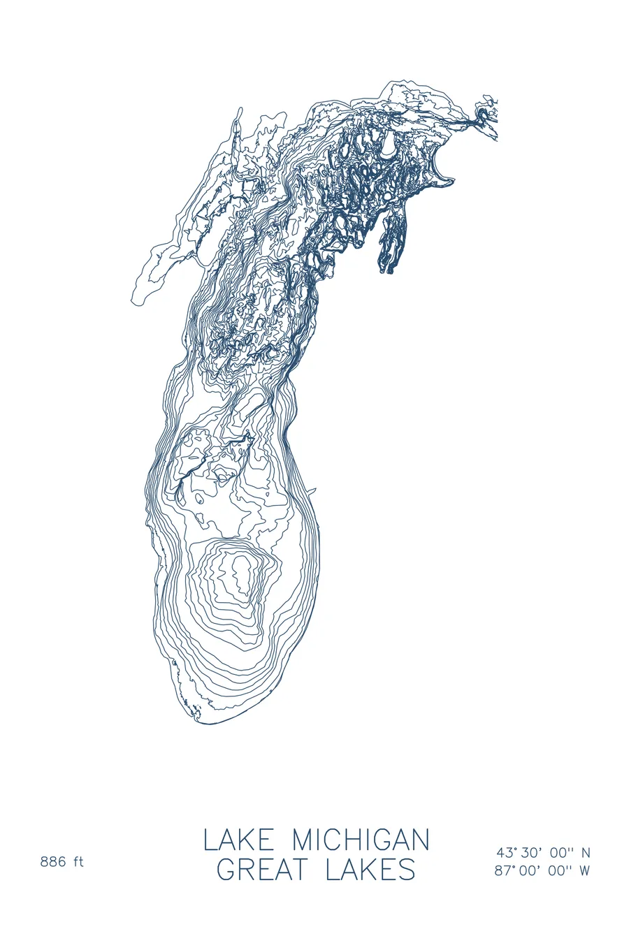
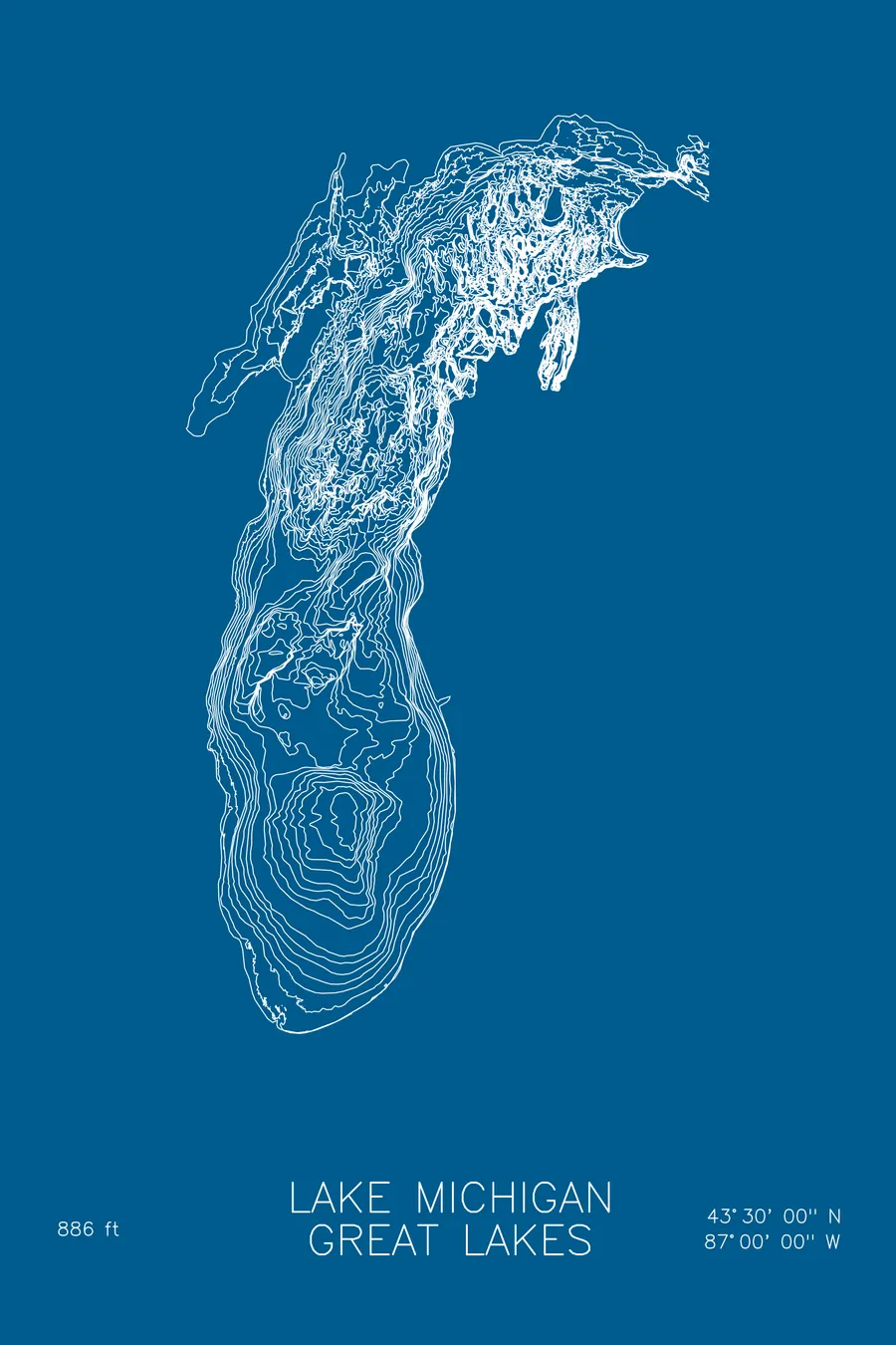
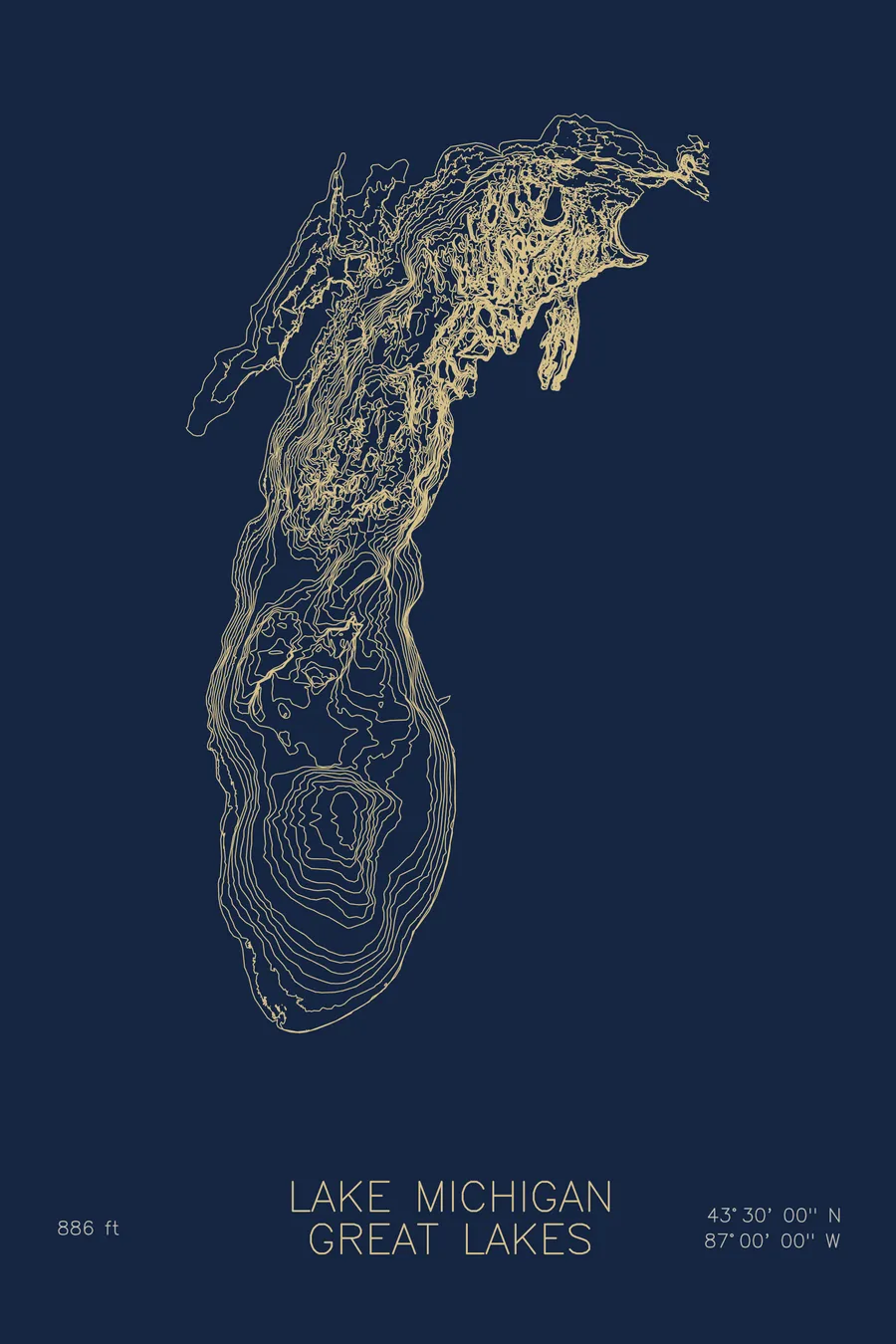
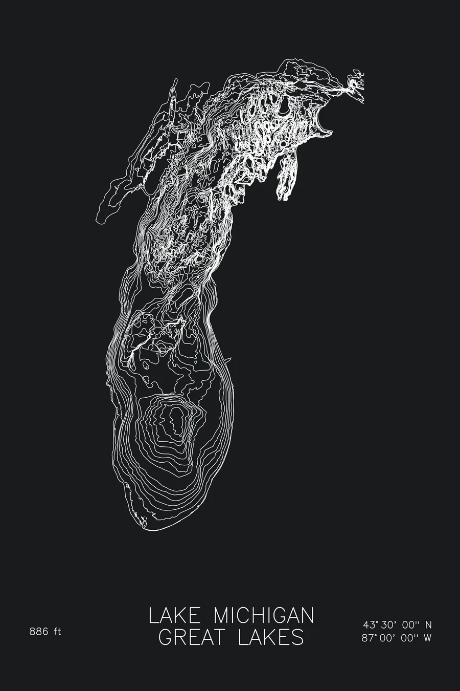
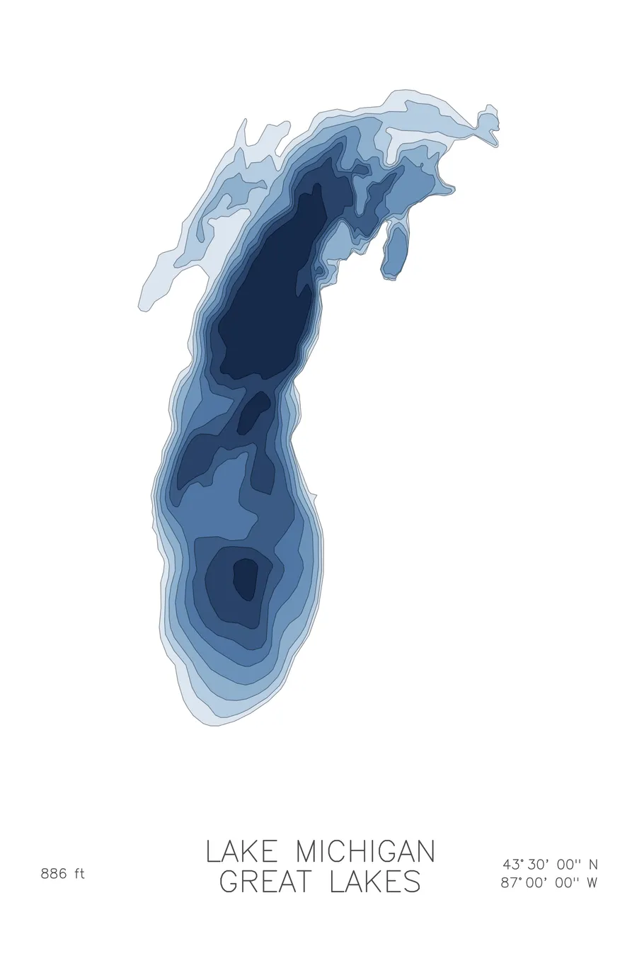
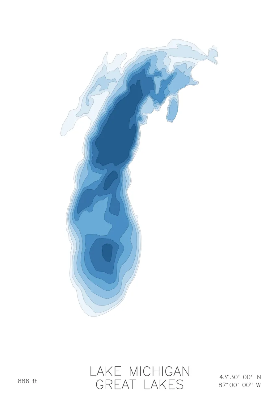
A bathymetric depth map of Lake Michigan, Great Lakes, drawn from real lake survey data in a minimalist contour-line design.
Max depth 886 ft.
$50
Ink & paper: Lake Blue
Size: 12×18"
+Personalize this map
+ Details
- 12 × 18 inches
- Drawn on 98 lb (160 gsm) archival cotton paper
- Precision technical pens and archival inks
- Signed and dated on the back
- Ships flat, protected, ready to frame
Each map begins with elevation data and is drawn by a pen plotter in our Vermont studio. Mechanical precision, plus the texture and small imperfections of real ink on paper.
Off the screen
In real rooms



















+ About this map
Lake Michigan is the only Great Lake that lies entirely within the United States, a 307-mile-long basin gouged out by lobes of the last ice sheet. Chicago and Milwaukee face each other across its southern end, dunes line the Michigan shore, and the Door Peninsula walls off Green Bay in the northwest. It is an inland sea in every practical sense, with weather and horizons to match.
The depth contours reveal a lake built in two parts. The southern basin is a broad, gentle bowl, its lines widely spaced, while north of the mid-lake rise the floor drops into the deep northern basin, bottoming out at 886 feet. The map shows Green Bay and Grand Traverse Bay as shallow side chambers, the long even shelf along the eastern shore, and the tight gradient where the deep water presses toward the Straits of Mackinac.
+ Map details
- Lake Michigan
- Great Lakes
- Great Lakes
- 43.5000N 87.0000W
- Lake bathymetric depth map
- Original pen plot, archival ink on cotton paper
- 8 × 12 in · 12 × 18 in · 18 × 24 in
- Max depth 886 ft
More maps