Utah
Lone Peak
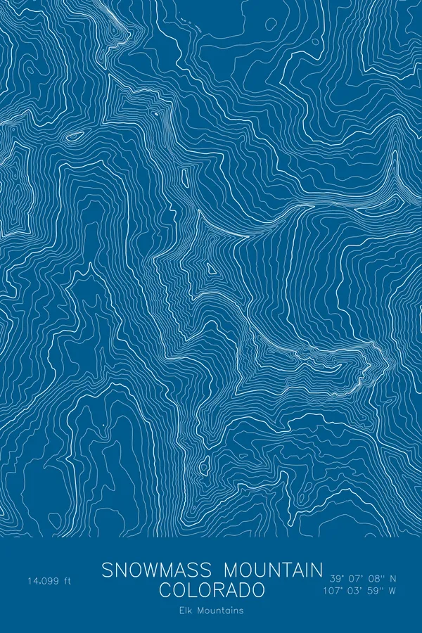
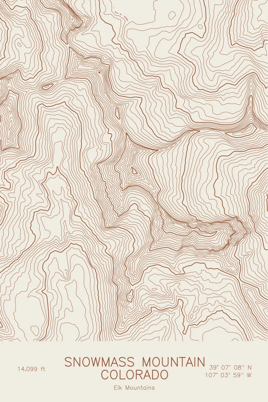
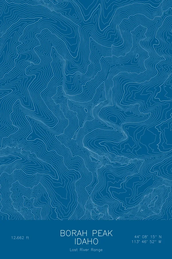
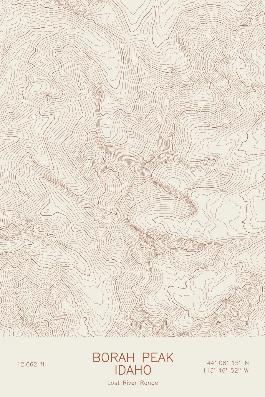
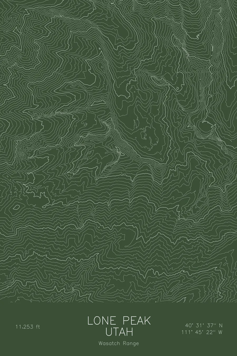
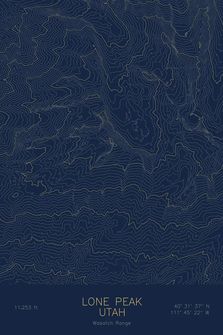
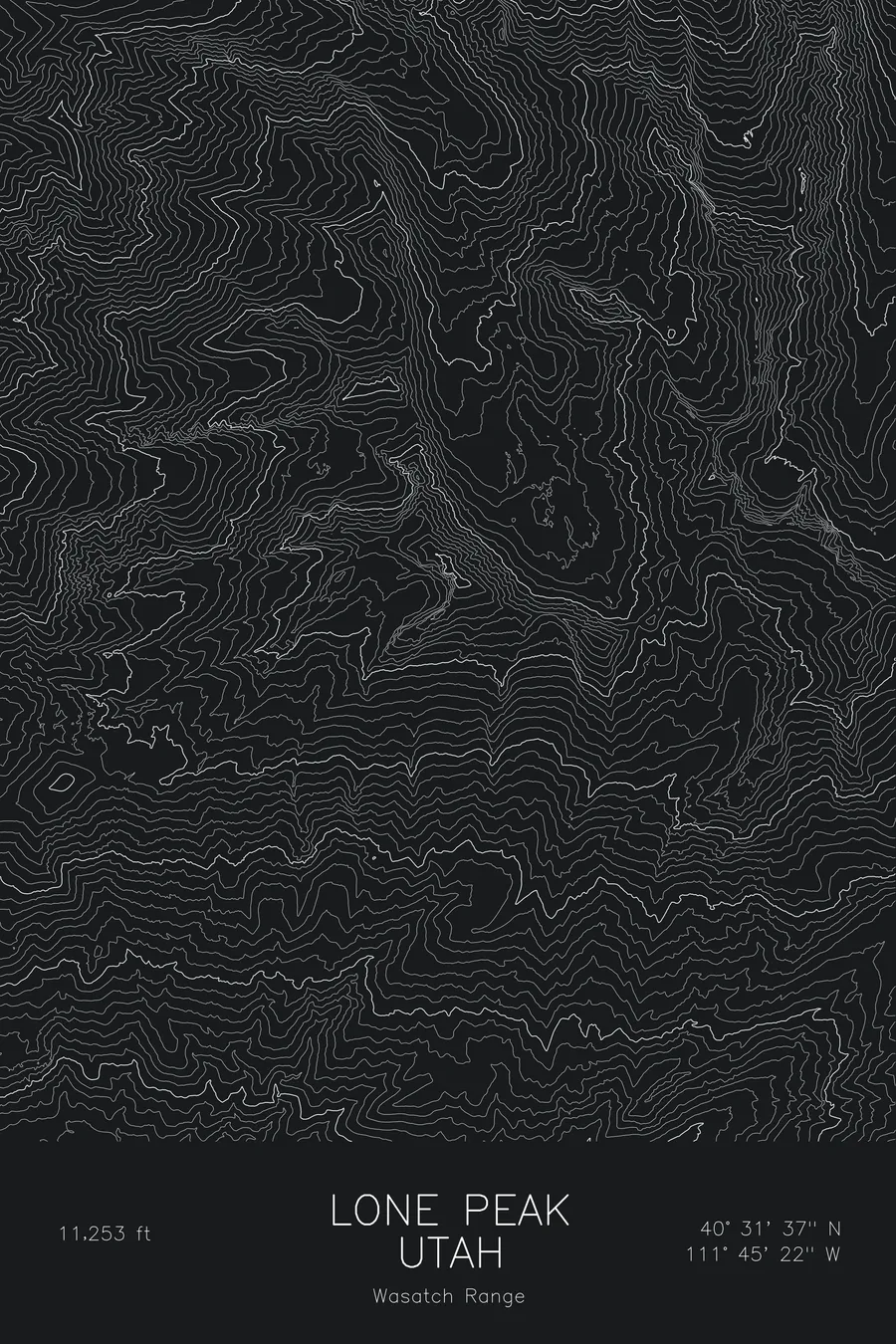
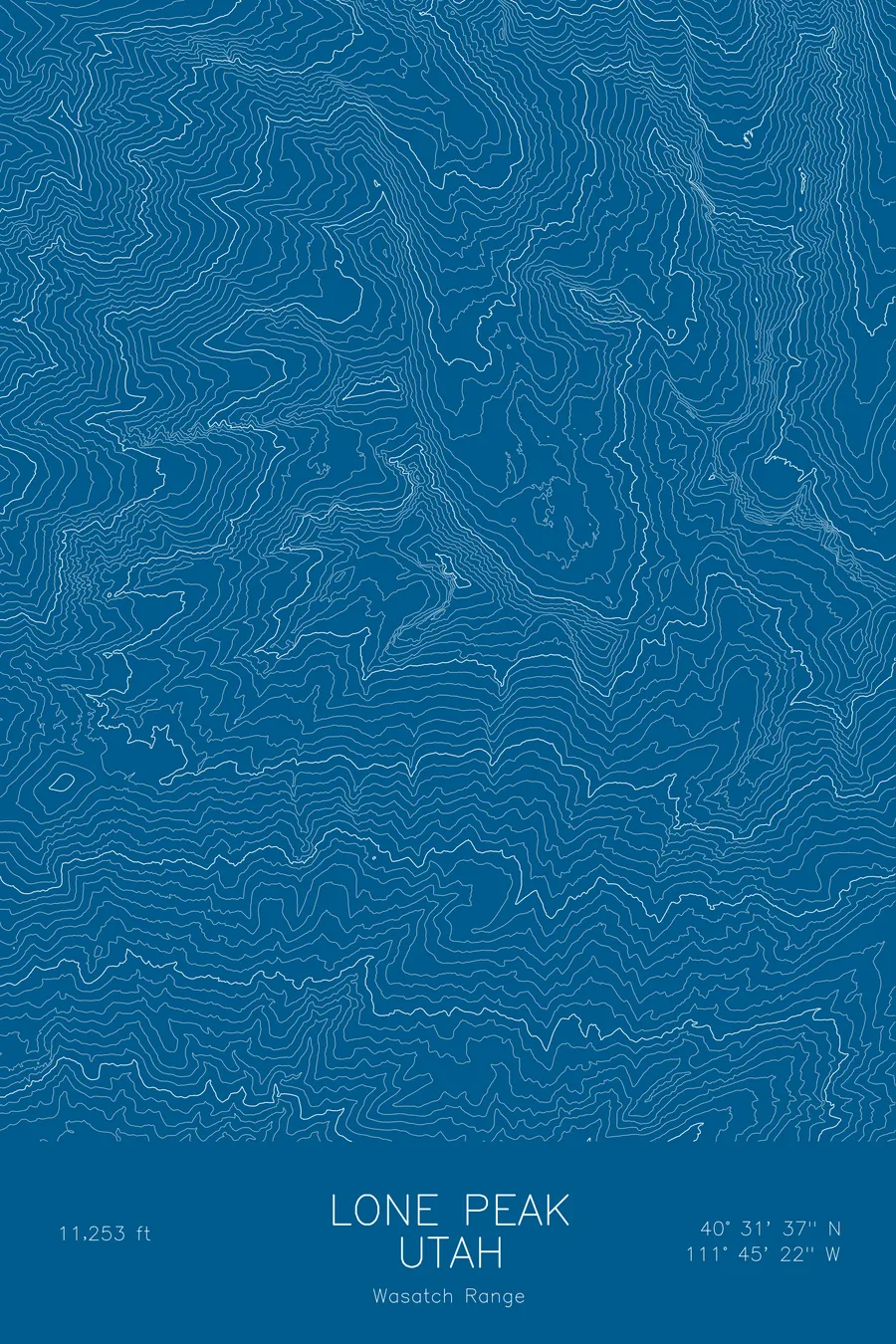
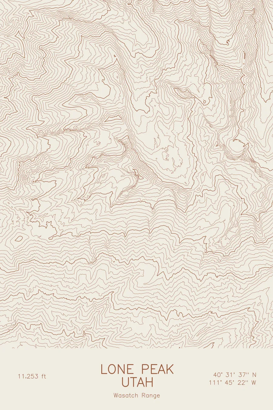
A pen-plotted topographic map of Lone Peak in the Wasatch Range, Utah, drawn from real elevation contour data.
Granite Wasatch summit at the heart of the Lone Peak Wilderness above Salt Lake Valley. 11,253 feet above sea level.
$54
Ink & paper: Blue
Size: 12×18"
+Personalize this map
+ Details
- 12 × 18 inches
- Drawn on 98 lb (160 gsm) archival cotton paper
- Precision technical pens and archival inks
- Signed and dated on the back
- Ships flat, protected, ready to frame
Each map begins with elevation data and is drawn by a pen plotter in our Vermont studio. Mechanical precision, plus the texture and small imperfections of real ink on paper.
Off the screen
In real rooms



















+ About this map
Lone Peak rises to 11,253 feet in Utah’s Wasatch Range, a granite summit that stands directly over the southern end of the Salt Lake Valley. It is the heart of the Lone Peak Wilderness, and the Lone Peak Cirque below the summit is a well-known granite climbing amphitheatre. From the valley floor the mountain rises in a single unbroken sweep, one of the biggest local reliefs along the Wasatch Front.
This map traces that sweep. The contour lines climb from the valley edge through the deep, steep-walled canyons of the west face, with Bells Canyon on the north side, to a summit ridge of tight, close-set bands around the cirque. The elevation on this sheet runs from about 5,500 feet to the 11,253-foot summit, more than a vertical mile of relief within the frame.
+ Map details
- Lone Peak
- Utah
- United States
- Wasatch Range
- Wasatch Range
- 11,253 ft / 3,430 m
- 40.5269N 111.7561W
- Mountain topographic map
- Original pen plot, archival ink on cotton paper
- 8 × 12 in · 12 × 18 in · 18 × 24 in
- Granite Wasatch summit at the heart of the Lone Peak Wilderness above Salt Lake Valley
More maps